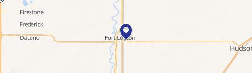
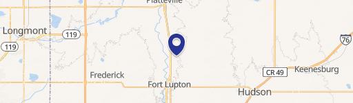
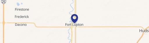
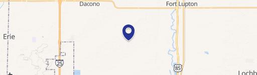
27 & Wcr 6 Fort Lupton, CO 80621
This exceptional 24.63-acre industrial land parcel presents a significant opportunity for development in Fort Lupton, Colorado. Located at the intersection of WCR 27 and WCR 6, this property boasts an I-1 zoning designation, opening the door to a wide range of industrial uses. The expansive lot size provides ample space for large-scale projects, offering flexibility for various development plans. Situated in Brighton, Colorado, with a zip code of 80621, this location offers convenient access to major transportation routes, facilitating efficient logistics and distribution. The property's coordinates are 40.02944166334402 latitude and -104.79683985400982 longitude. This prime industrial land is ready for immediate development, making it an ideal investment for businesses seeking to establish or expand their operations in a thriving Colorado market. The property's size and zoning make it suitable for a variety of industrial uses, from warehousing and distribution to manufacturing and light industrial operations. Serious inquiries are encouraged to explore the potential of this exceptional land offering. This is a rare opportunity to acquire a substantial parcel of industrial land in a rapidly growing area.
Cap rate
Implied · in-place · derived from last sale + estimated NOIValue
AI, CAP & Alternative Use estimations · Realmo proprietary blendComparables
6 recent transactions · within 1.5 miComparable in this City


Similar Nearby for Sale


Similar Nearby for Lease


Property description
Physical attributes from public recordsZoning & alternative use
No recorded transactions found for this property.
Costs & Benchmarks
Operating expenses, capex projections, utility benchmarks, and submarket comparables — all in one view.
Risks
Flood, climate, environmental, title, and tenant-concentration risk — surfaced with mitigations and source citations.


