Agricultural Development
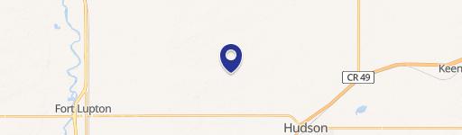
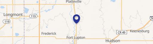
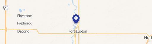
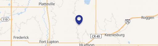
County Road 6 Fort Lupton, CO 80621
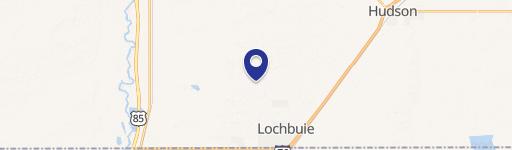
County Road 6, Fort Lupton, CO, 80621
$4,060,000
For Sale
$4,060,000
LAND - Fort Lupton, CO
Lot Size121.00 Acres
Days on Market49
Property Features for County Road 6
General Information
- Property type
- Land
- Property subtype
- Other
- Zoning
- Ag
- Standard status
- Active
- APN
- R6913597
- Lot size
- 121.00 Acres
Taxes and HOA fees
- Tax Year
- 2025
- Tax Annual Amount
- 631
Utilities
- Water source
- Well
Listing Agency
C3 Real Estate Solutions, LLC
(970) 225-5152
2720 Council Tree Ave, #178, Fort Collins, CO
Listed by
Melissa Conant · License #100101206
(970) 672-6262
Added: Jun 1 Checked: Jul 19 at 8:06 pm
MLS# 1060583
Listing URL
Copyright © 2026 IRES MLS. All rights reserved. All information provided by the listing agent/broker is deemed reliable but is not guaranteed and should be independently verified.
Investment Insights
Based on property information with market context.
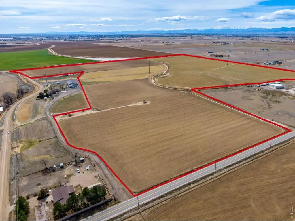
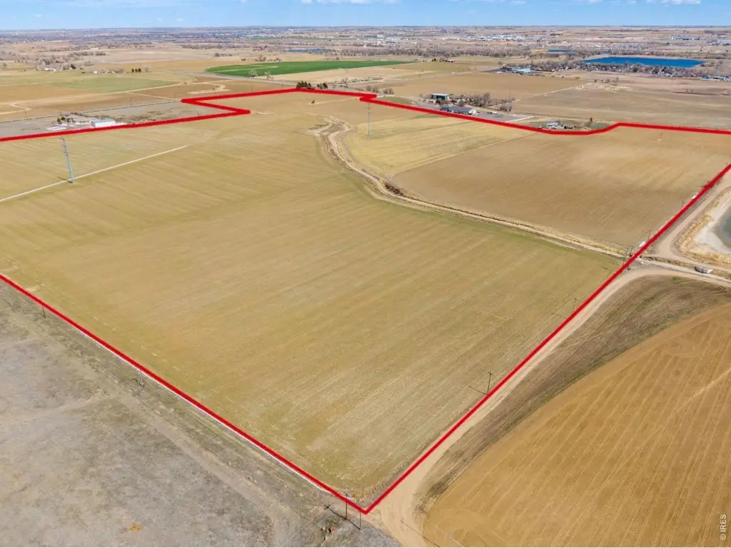
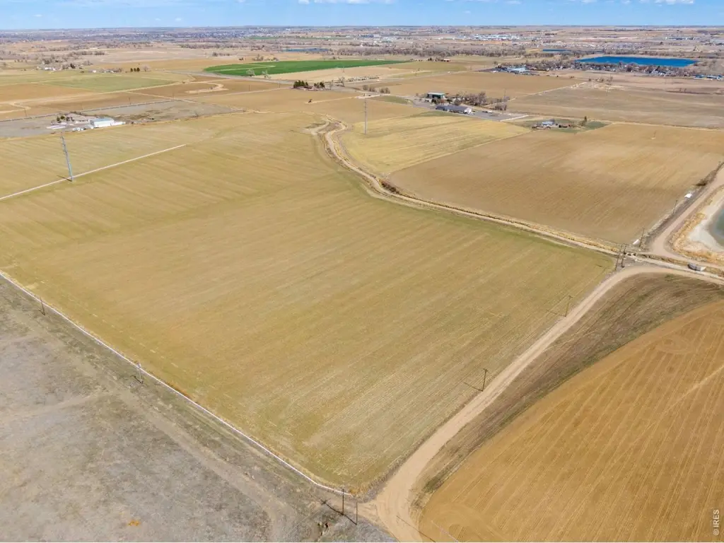
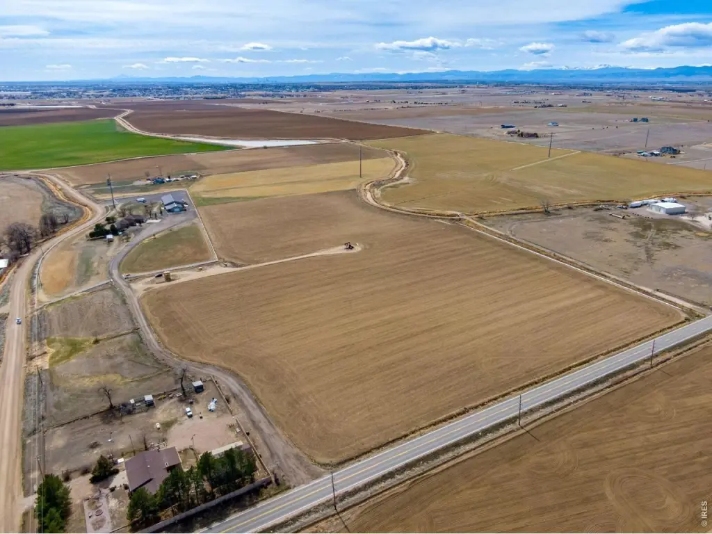
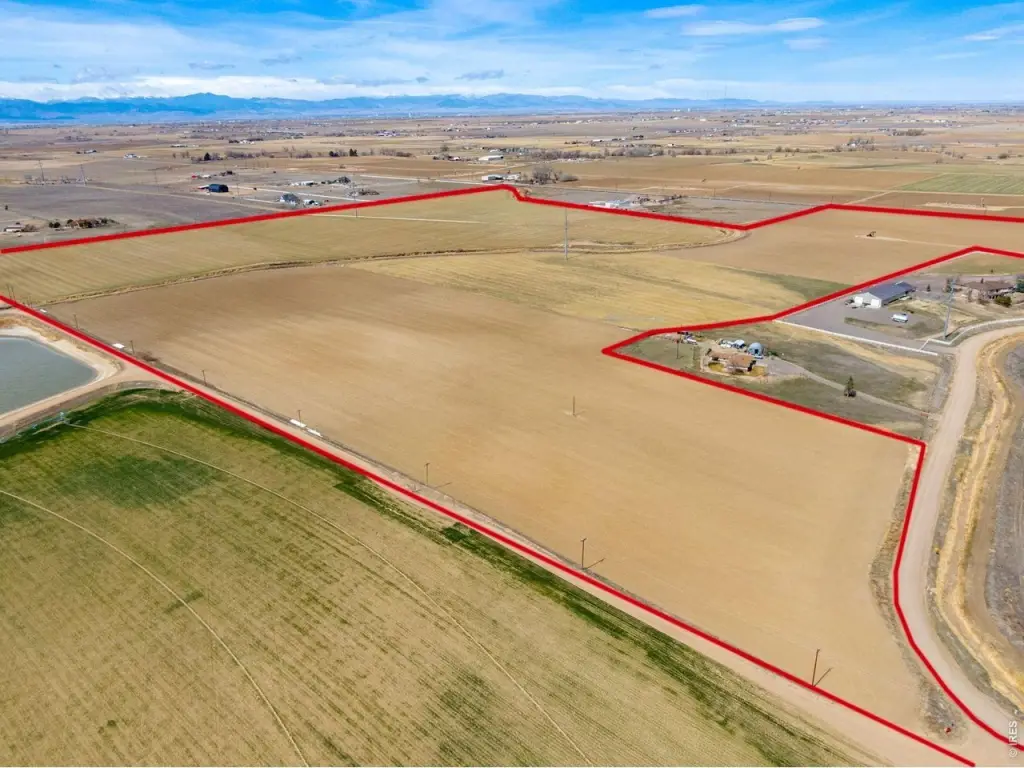
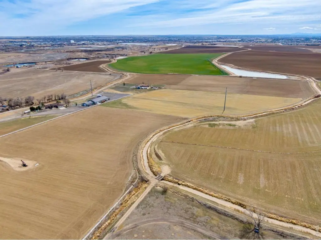
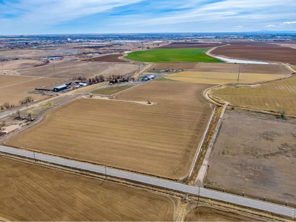
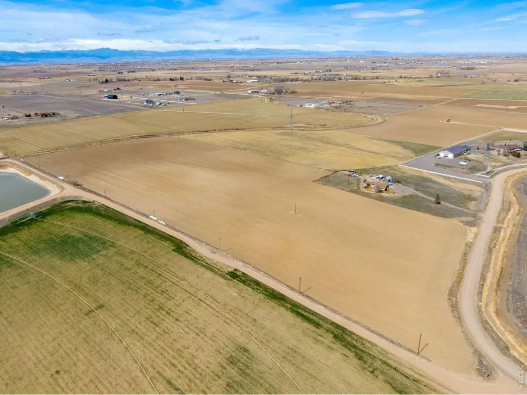
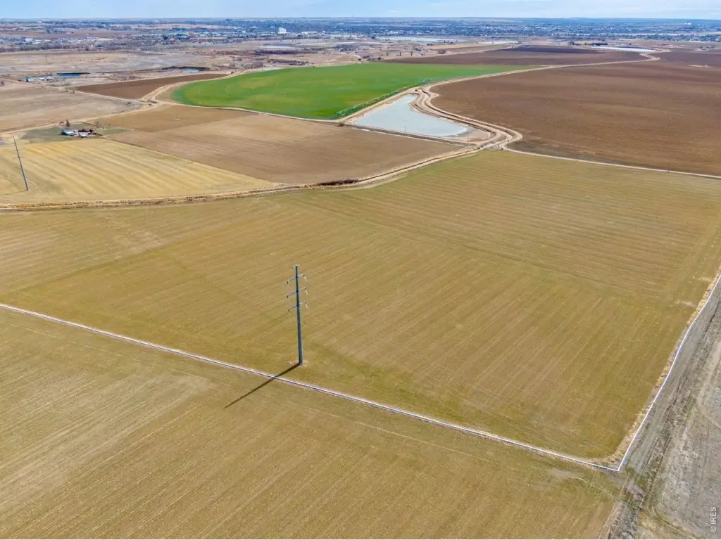
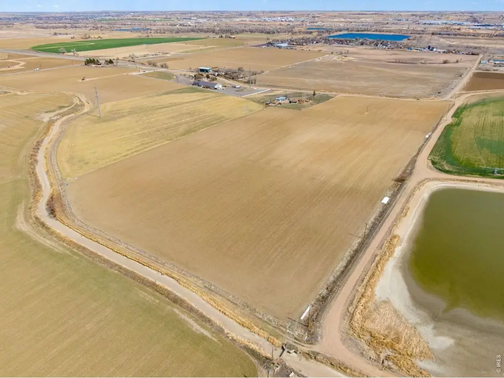
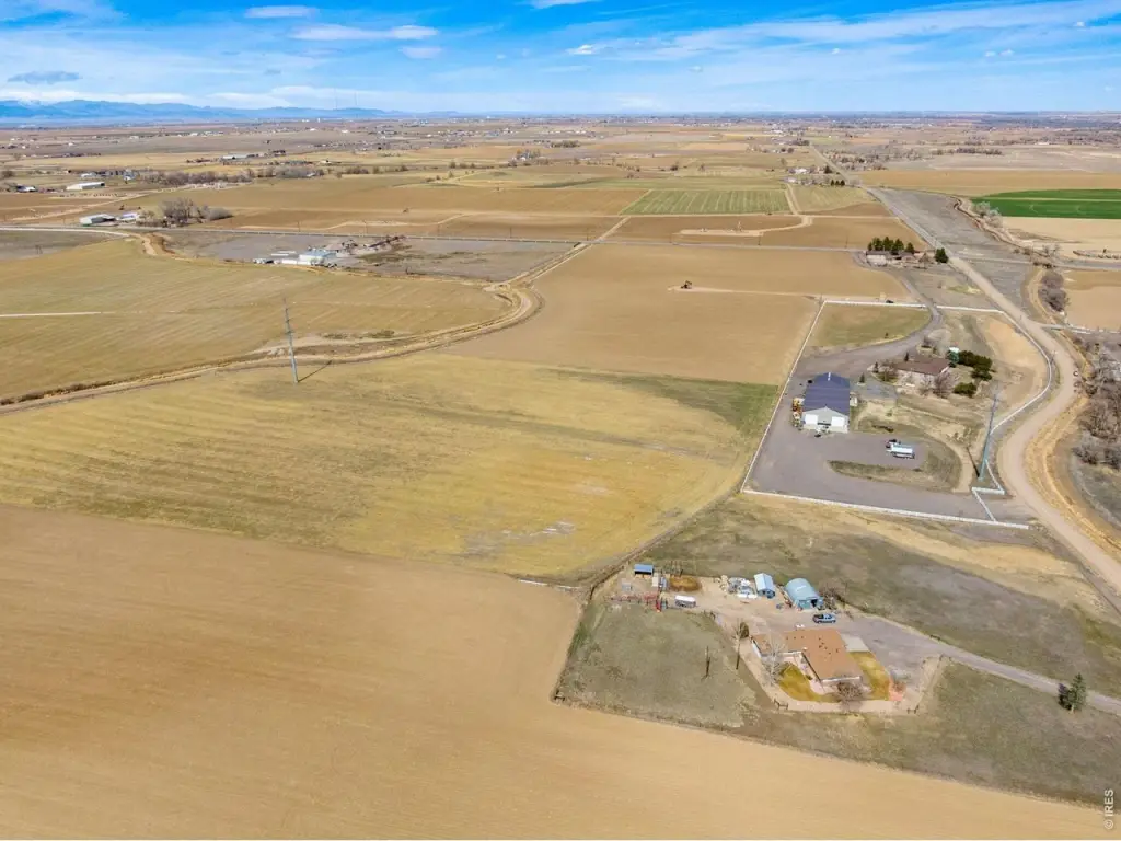
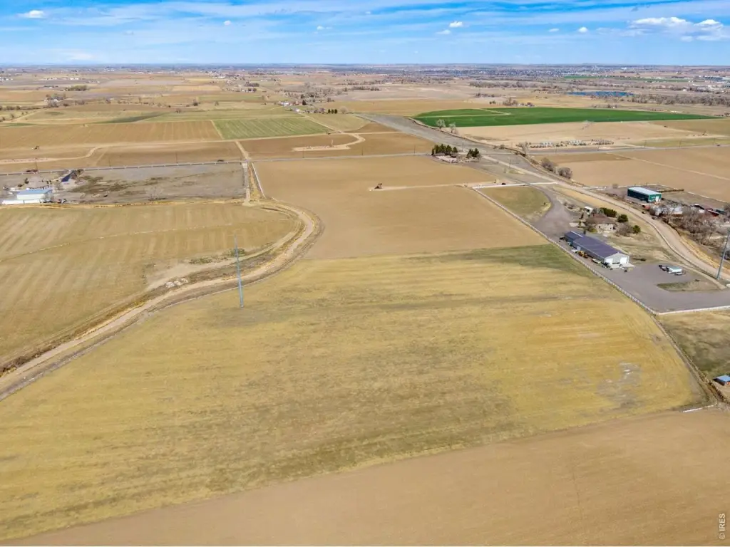
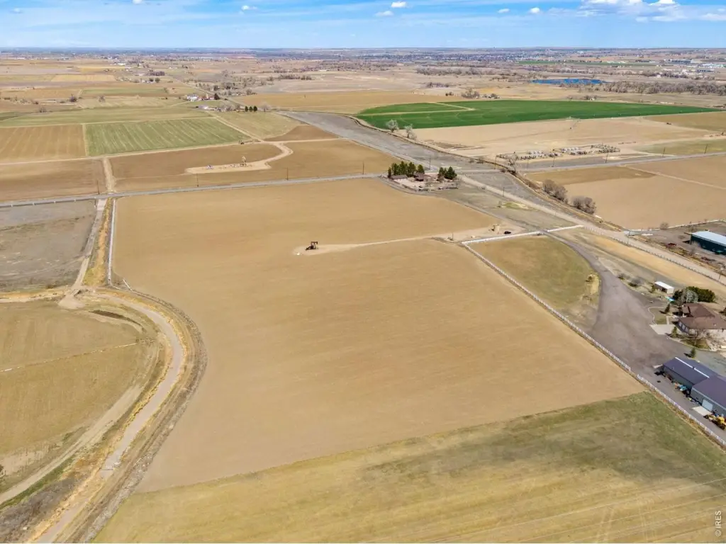
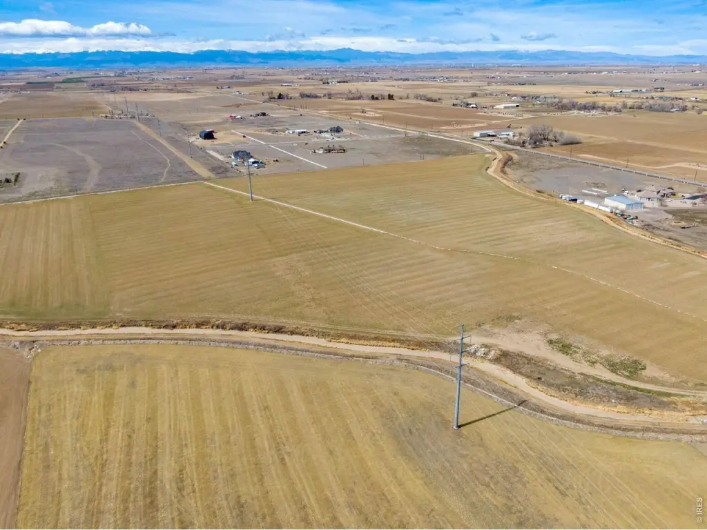
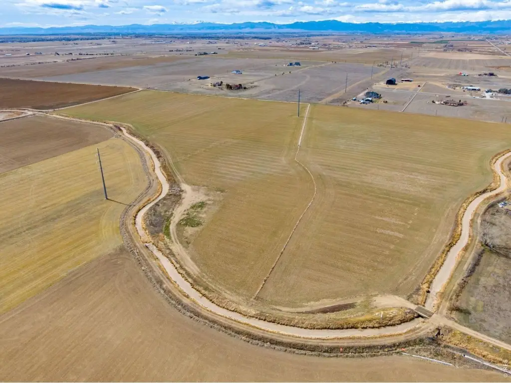
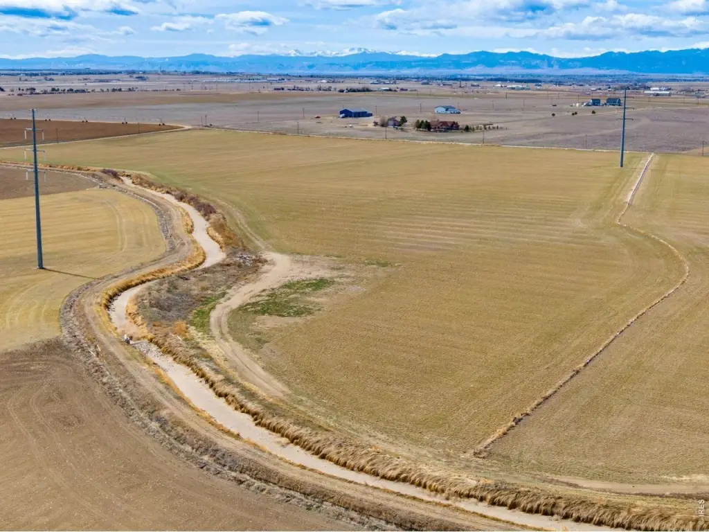
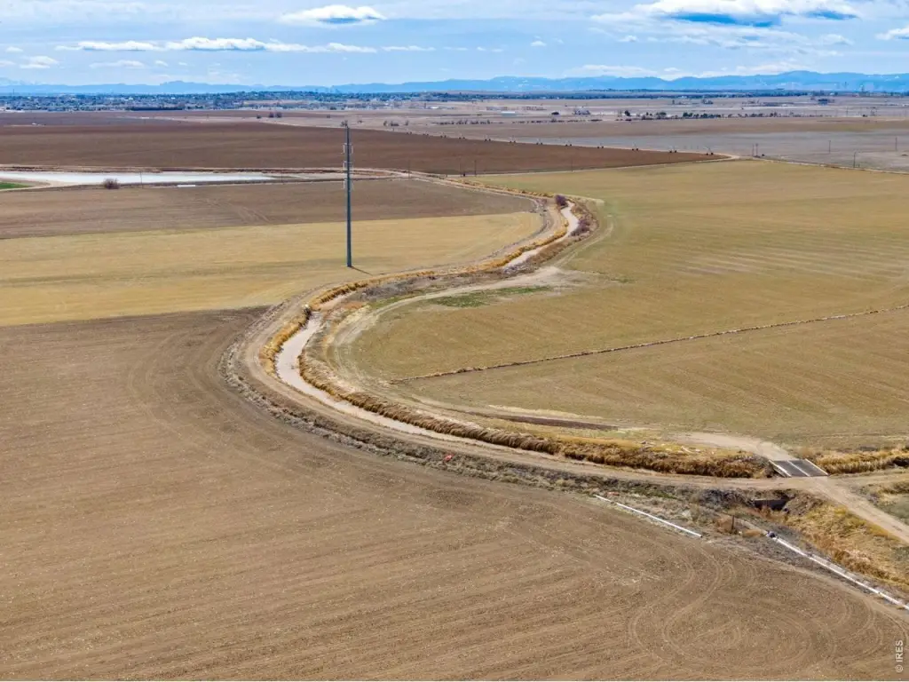
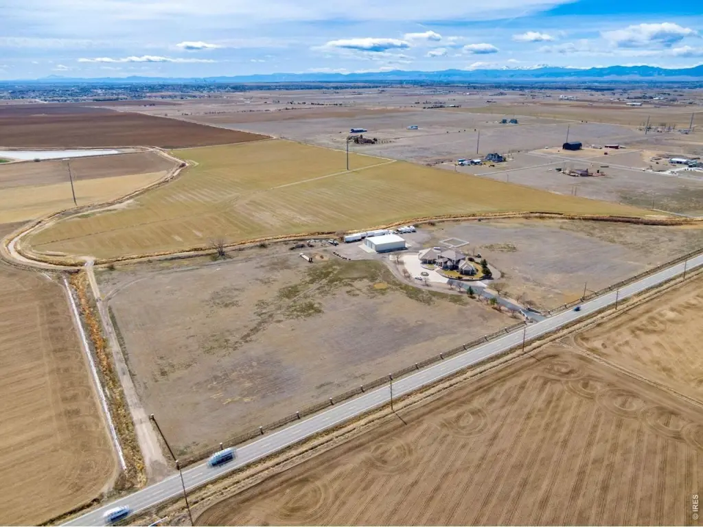
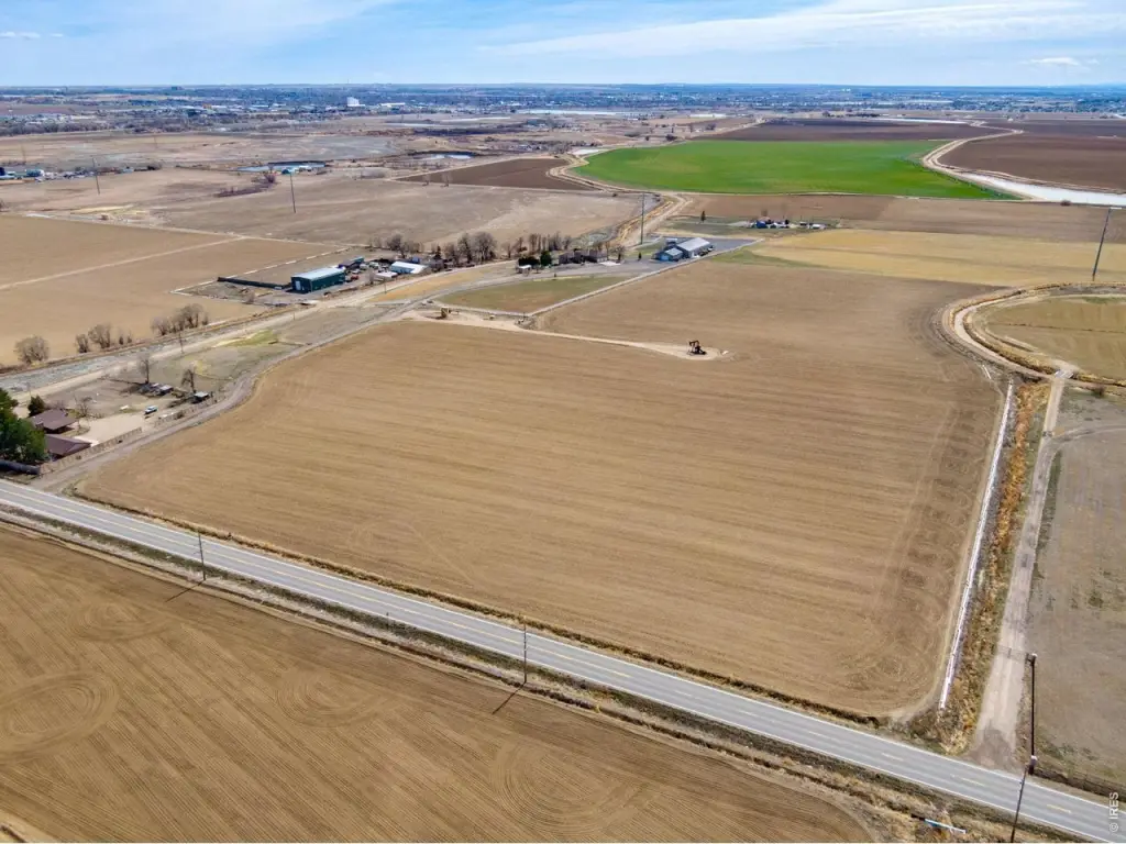
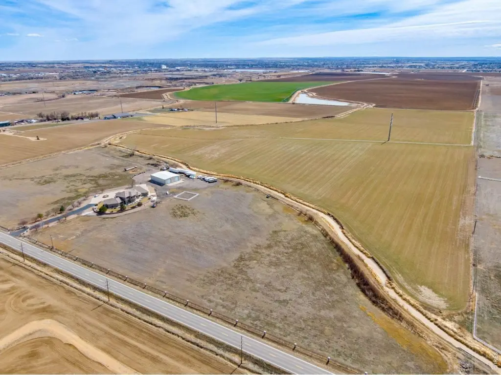
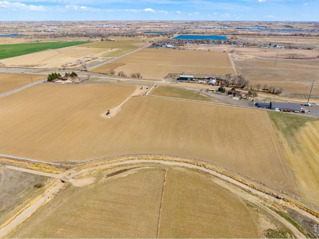
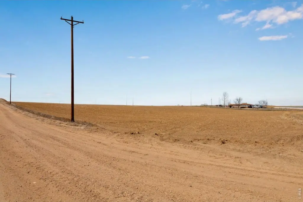
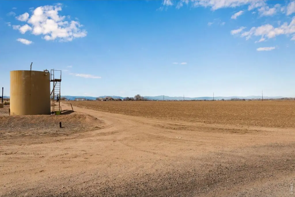
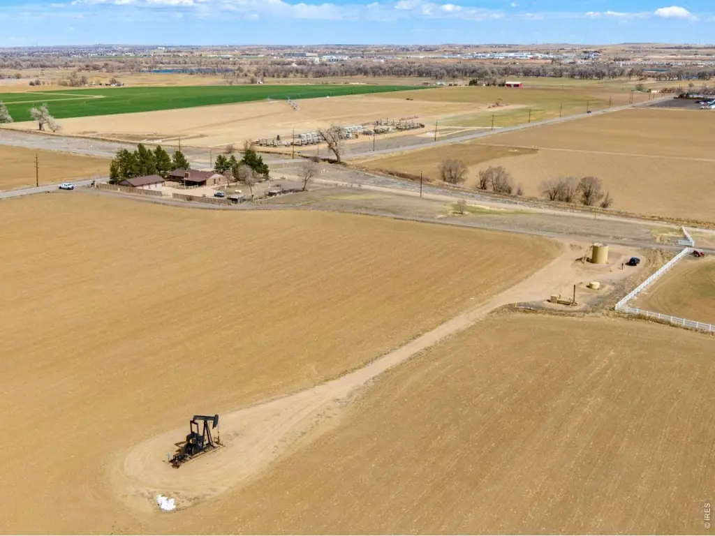
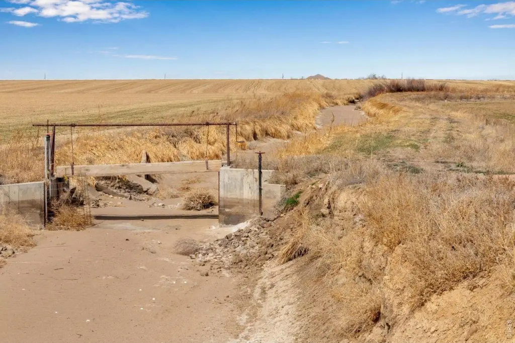
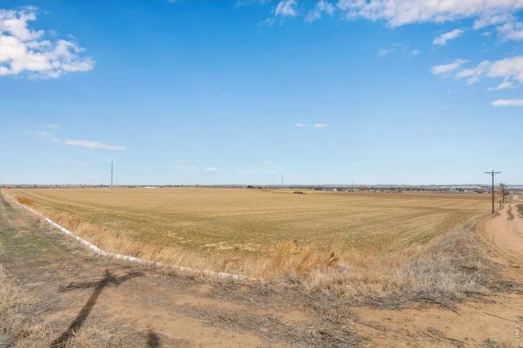
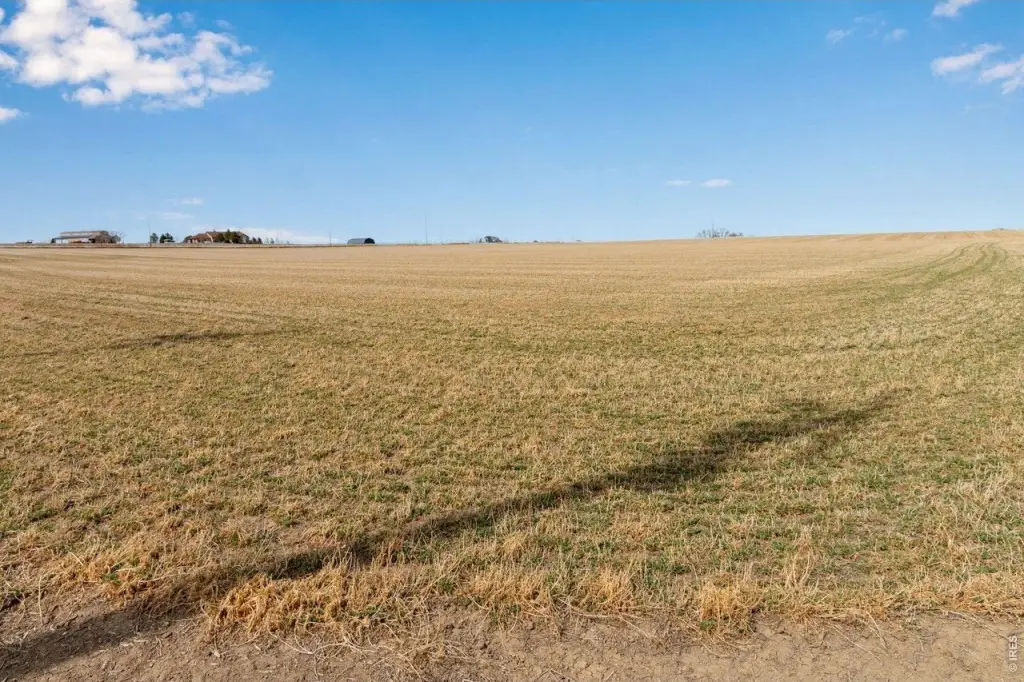
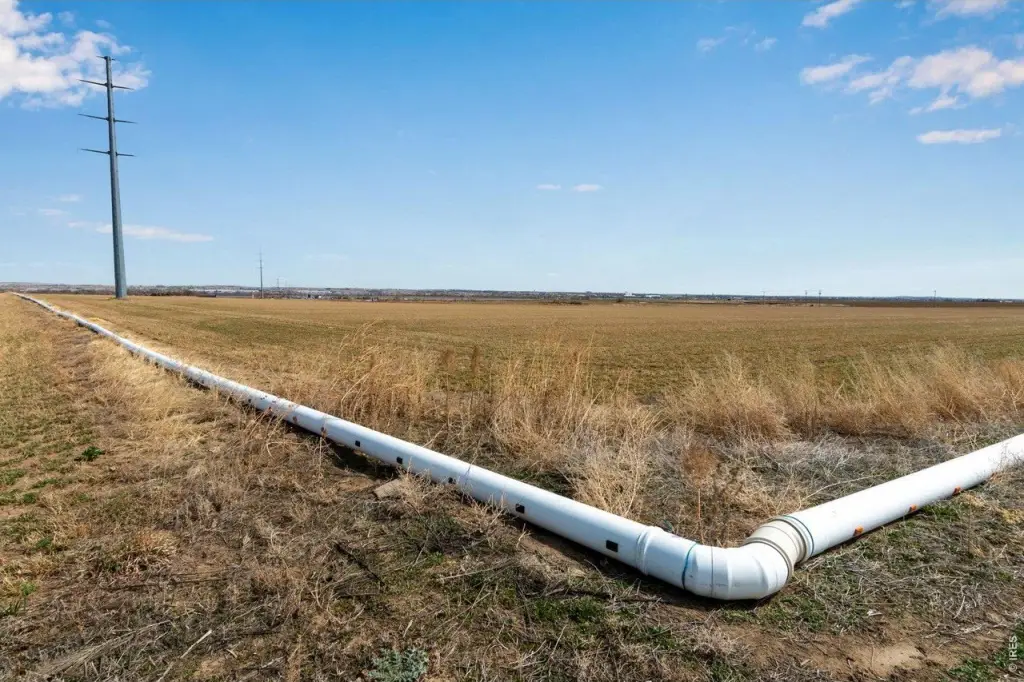
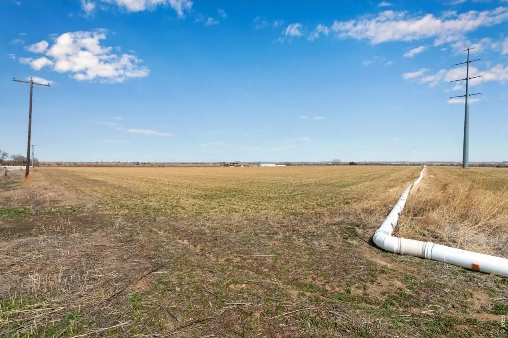
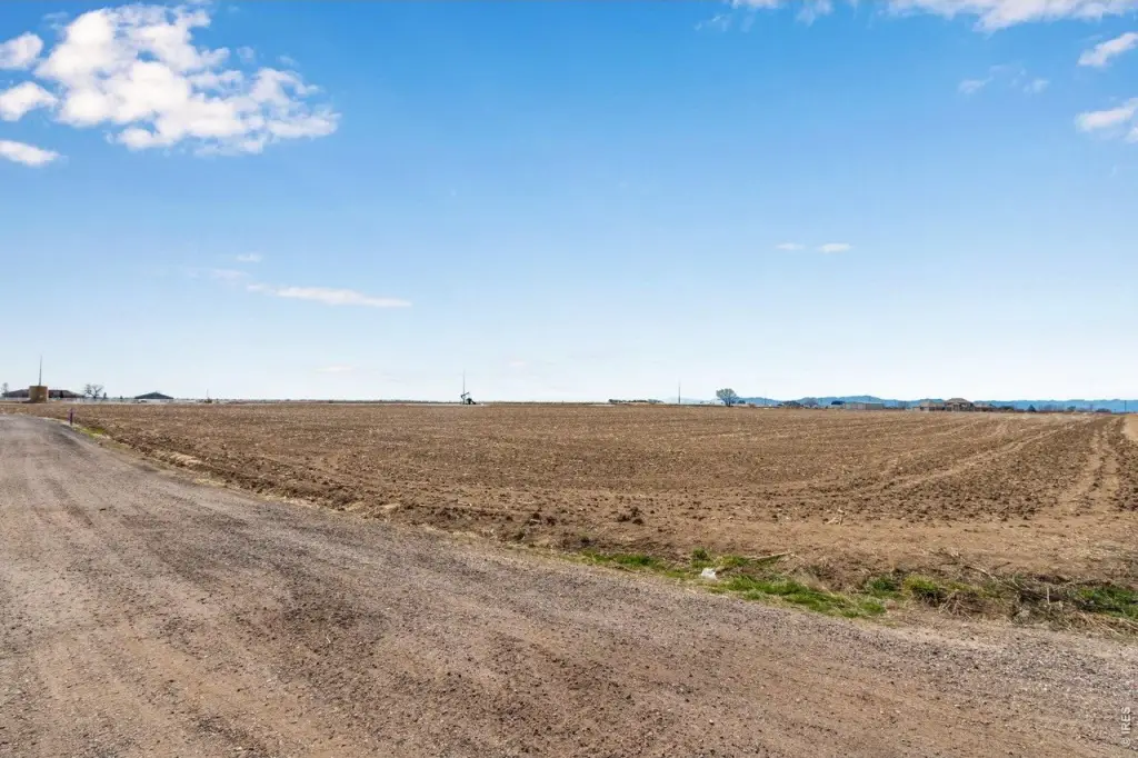
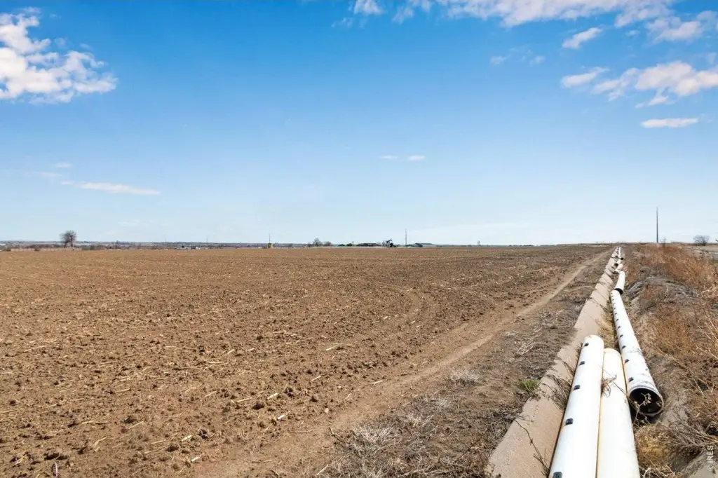
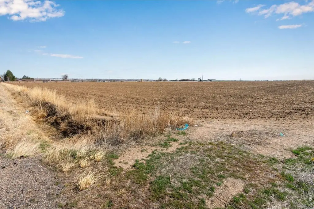
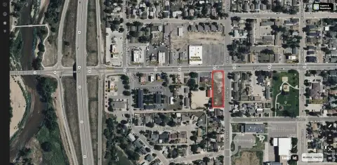
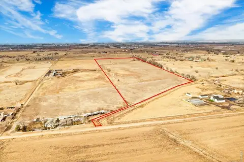
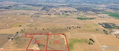
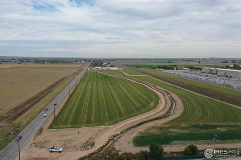
This offering consists of an agricultural-zoned land assemblage located in the Todd Creek area. The property is described as multiple parcels lumped together and totals 121 acres, with a legal description available in the supporting materials. The seller has provided documentation including a water study, Phase 1 Environmental, and a new survey to support due diligence and planning.
The area is described in the listing as an Opportunity Zone, with surrounding properties identified as residential and industrial. The property is noted as currently unincorporated, and the remarks indicate the possibility of future incorporation into Brighton, Fort Lupton, or Lochbuie, subject to buyer verification with the applicable towns.
For buyers evaluating longer-horizon development or land use planning, the combination of AG zoning and the provided studies can help streamline early feasibility and environmental review. Because incorporation and any future entitlements require confirmation with the relevant jurisdictions, prospective buyers should plan for jurisdiction-specific verification as part of their process. The availability of the survey, water study, and Phase 1 Environmental materials is intended to support that next step.
Key Highlights
- 121 total acres in the Todd Creek area, made up of multiple parcels lumped together (see attached legal description).
- Land is zoned AG and is currently unincorporated, with residential and industrial land surrounding the property.
- Water source available via well; documents include a water study.
Property Analytics
Location Intelligence
Current Use by Public Records
Commercial land
Similar For Sale Nearby


FAQs
What type of property is this?
Agricultural land / Farmland - 121-acre assemblage of unincorporated land zoned AG, supported by available water study, Phase 1 and survey documents.
Where is this agricultural land / farmland located?
The property is located at County Road 6 Fort Lupton, CO.
What is the asking price?
The asking price for this property is $4,060,000.
What are key features of this property?
This property features: 121 total acres in the Todd Creek area, made up of multiple parcels lumped together (see attached legal description).; Land is zoned AG and is currently unincorporated, with residential and industrial land surrounding the property.; Water source available via well; documents include a water study.


