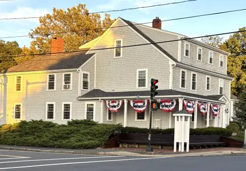
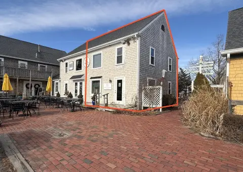
134 Rte 6a Sandwich, MA 02563-2065
Property profile & analytics
134 Rte 6a, Sandwich, MA 02563-2065
- Office buildings
- 2,610 SF
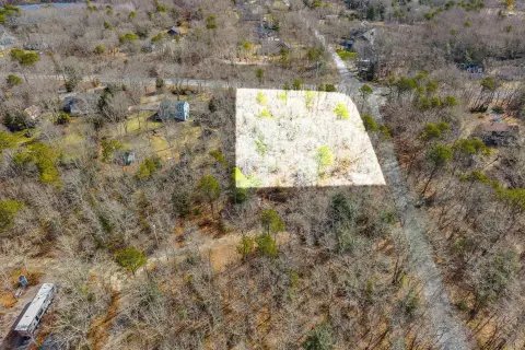
- 0.28 lot acres
Property ID
US38-0853217
The Realmo ID is a unique identifier assigned to every property, incorporating country codes and precise geo-coordinates for 300x300-foot land blocks. It enables standardized data collection and seamless integration of disparate sources such as ownership, tax, title data and physical specifications. By aggregating current and historical records, the Realmo ID powers advanced analytics and delivers deep, verifiable insights for real estate professionals.
Location Intelligence
Current Use by Public Records
- Office buildings
Property Details for 134 Rte 6a
- Year built
- 1958
- Construction
- MASONRY/CONCRETE MASONRY UNITS (CMUS)
- Lot size
- 0.28 lot acres
- Zone code
- VILLAG
- Property type
- Office buildings
- APN
- SAND M:0082 B:0167
- APU
- SANDM0082B0167
Sales History
| Date | Price | Buyer | Seller | Deed Type | Mortgage |
|---|---|---|---|---|---|
| Apr 1, 2020 | $435,000 | Sandwich Development LLC | Dugan Ft | Quit Claim Arm's Length For Ne States | $495k · Main Street Bank (ma) |
| Aug 28, 2019 | — | Barbara R Davis | Nt,davis | Quit Claim Deed · related | — |
| May 14, 2002 | — | Dugan Ft | — | Deed Of Trust · related | $100k · Plymouth Savings Bank |
| Feb 12, 1997 | — | Dugan Ft | — | Deed Of Trust · related | $80k · Sandwich Cp Bank |
Value Estimations
based on Realmo’s proprietary methodology
-
AI approach
-
CAP approach
-
Comparable approach
-
Alternative Use
Get a detailed, property-specific estimation — fast and free
Location Insight
- Map
- Local Demand
- City
- Sandwich
- County
- Barnstable
- State
- Massachusetts
- Longitude
- -70.4938
- Latitude
- 41.7588
- CBSA code
- 12700
- CBSA name
- BARNSTABLE TOWN, MA METROPOLITAN STATISTICAL AREA
Property Tax & Assessments
Tax date
Tax Amount
Assessed Land Value
Assessed Improvement Value
Total Assessed Value
Applied Tax Rate
Land Market Value
Improvement Market Value
Total Market Value
2024
$5,257
$214,300
$272,500
$486,800
-
$0.00
$0.00
$0.00