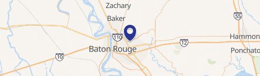
0 Harrells Ferry Rd Baton Rouge, LA 70815
This exceptional 2.25-acre commercial land parcel presents a remarkable opportunity for development in Baton Rouge, Louisiana. Located on S Harrells Ferry Rd, in East Baton Rouge Parish, zip code 70815, this property boasts a highly desirable C zoning designation, opening doors to a wide array of commercial ventures. The land's strategic position near the intersection of Jones Creek and O'Neal Lane ensures excellent visibility and accessibility, making it an ideal location for businesses seeking high traffic exposure. Priced competitively at $416,542, this translates to a land value of $4.75 per square foot, representing a compelling investment opportunity. The expansive lot size provides ample space for a variety of development projects, catering to diverse business needs. Its convenient location within Baton Rouge offers easy access to major transportation routes, ensuring seamless connectivity for employees and customers alike. Serious inquiries are encouraged to explore the full potential of this prime commercial land. The property's coordinates are 30.4317481 latitude and -91.0403638 longitude. This is a rare chance to acquire a significant piece of commercial real estate in a thriving Louisiana market. Don't miss this chance to secure a valuable asset with significant growth potential.
Cap rate
Implied · in-place · derived from last sale + estimated NOIValue
AI, CAP & Alternative Use estimations · Realmo proprietary blendComparables
6 recent transactions · within 1.5 miComparable in this City


Similar Nearby for Sale


Similar Nearby for Lease


Property description
Physical attributes from public recordsZoning & alternative use
No recorded transactions found for this property.
Costs & Benchmarks
Operating expenses, capex projections, utility benchmarks, and submarket comparables — all in one view.
Risks
Flood, climate, environmental, title, and tenant-concentration risk — surfaced with mitigations and source citations.


