
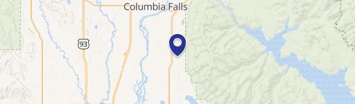
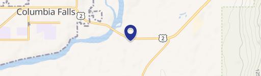
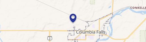
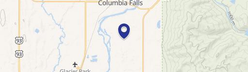
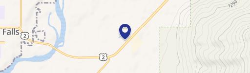
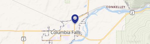
7030 Hwy 2, Columbia Falls, MT 59912
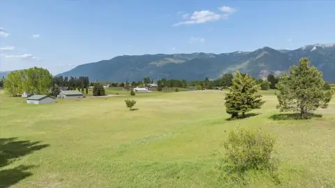
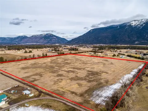
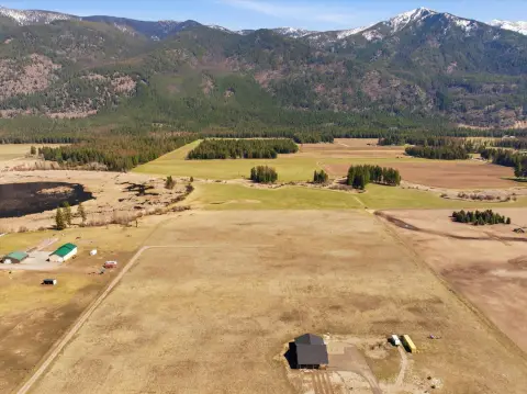
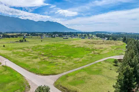
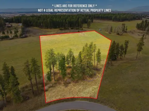
This exceptional 10-acre property boasts a prime location on Highway 2 East in Columbia Falls, Montana. The land offers stunning views of the surrounding mountains, providing a picturesque backdrop and easy access to the gateway to Glacier National Park. Situated in the desirable Flathead County, this parcel is conveniently located near the town of Columbia Falls, offering proximity to a range of amenities including restaurants, schools, and shopping. The property's Highway 2 frontage presents significant development potential, making it an attractive investment opportunity for those seeking a large parcel of land with excellent visibility and accessibility. The 59912 zip code ensures a convenient location within the community. With its combination of natural beauty, convenient location, and development potential, this 10-acre tract represents a rare opportunity in the sought-after Columbia Falls area. The asking price is $460,000. This property is zoned for residential use. The latitude and longitude coordinates are 48.364709 and -114.160869 respectively.
Cap rate
Implied · in-place · derived from last sale + estimated NOIValue
AI, CAP & Alternative Use estimations · Realmo proprietary blendComparables
6 recent transactions · within 1.5 miComparable in this City

Similar Nearby for Sale
Similar Nearby for Lease


Property description
Physical attributes from public recordsZoning & alternative use
No recorded transactions found for this property.
Costs & Benchmarks
Operating expenses, capex projections, utility benchmarks, and submarket comparables — all in one view.
Risks
Flood, climate, environmental, title, and tenant-concentration risk — surfaced with mitigations and source citations.


