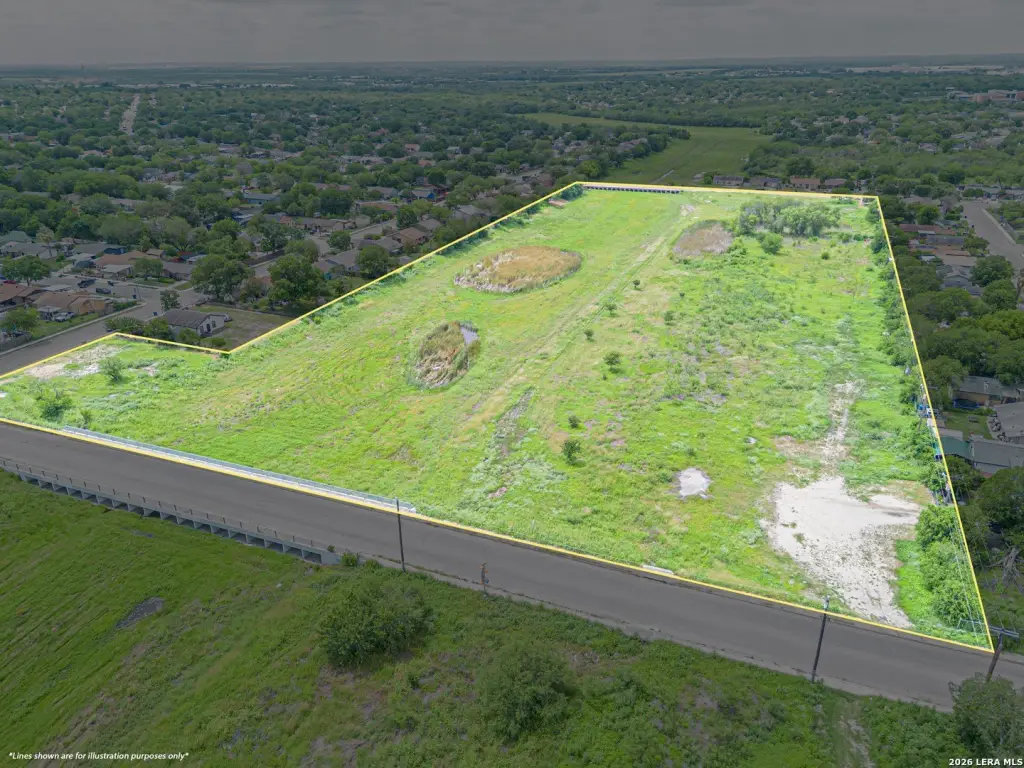
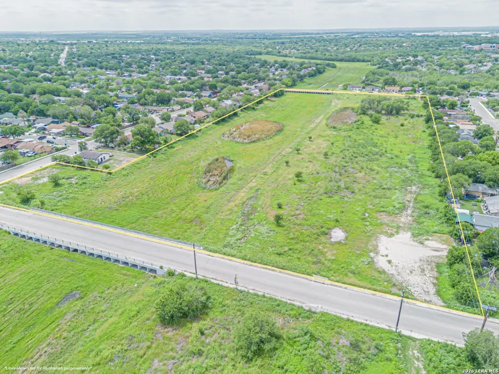
R-6 Zoned Development Land
Five Palms Dr San Antonio, TX 78242

For Sale
$295,000
LAND - San Antonio, TX
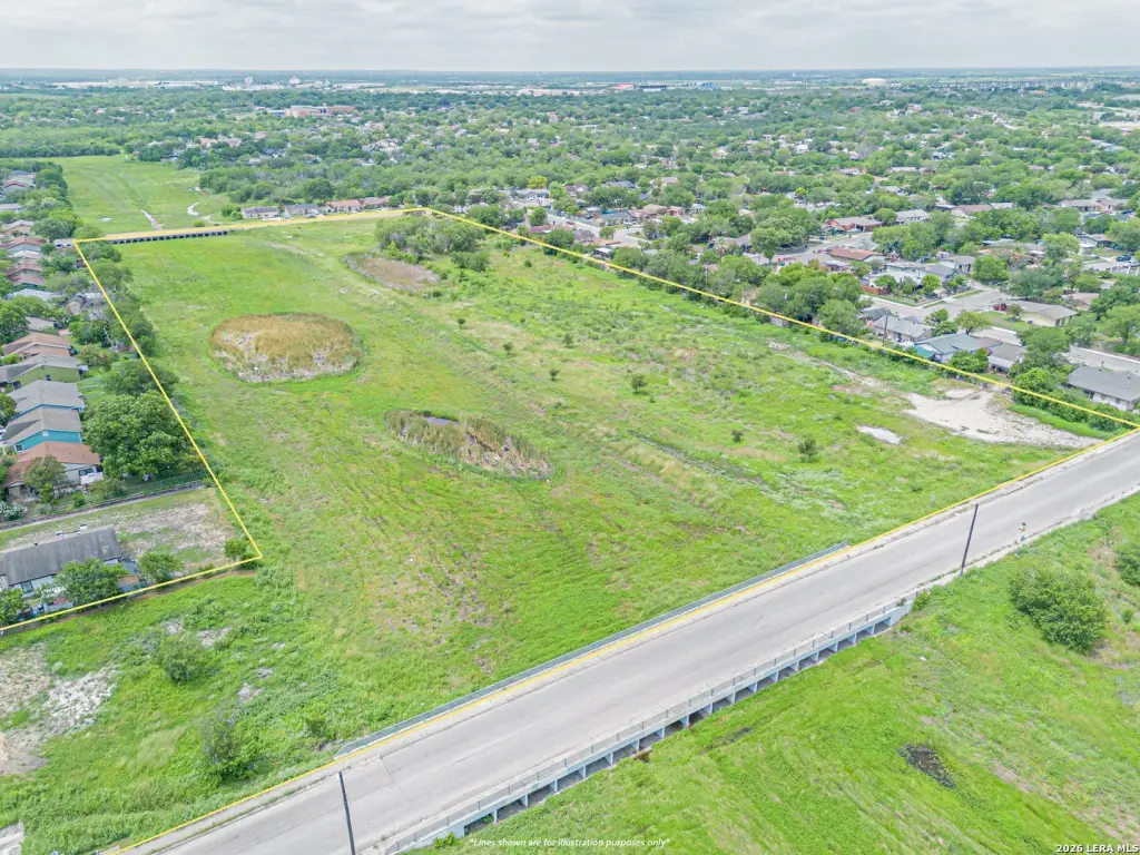
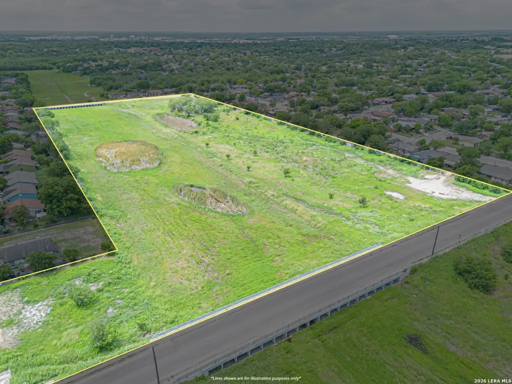
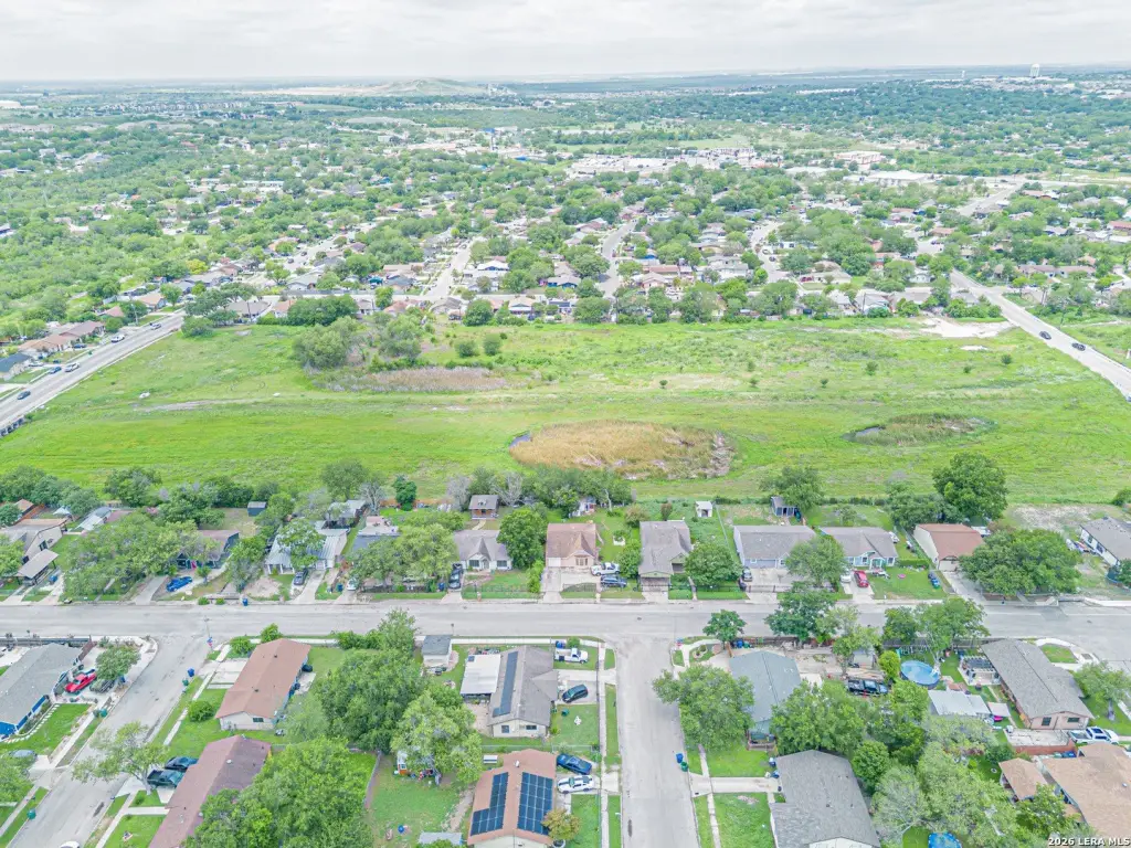
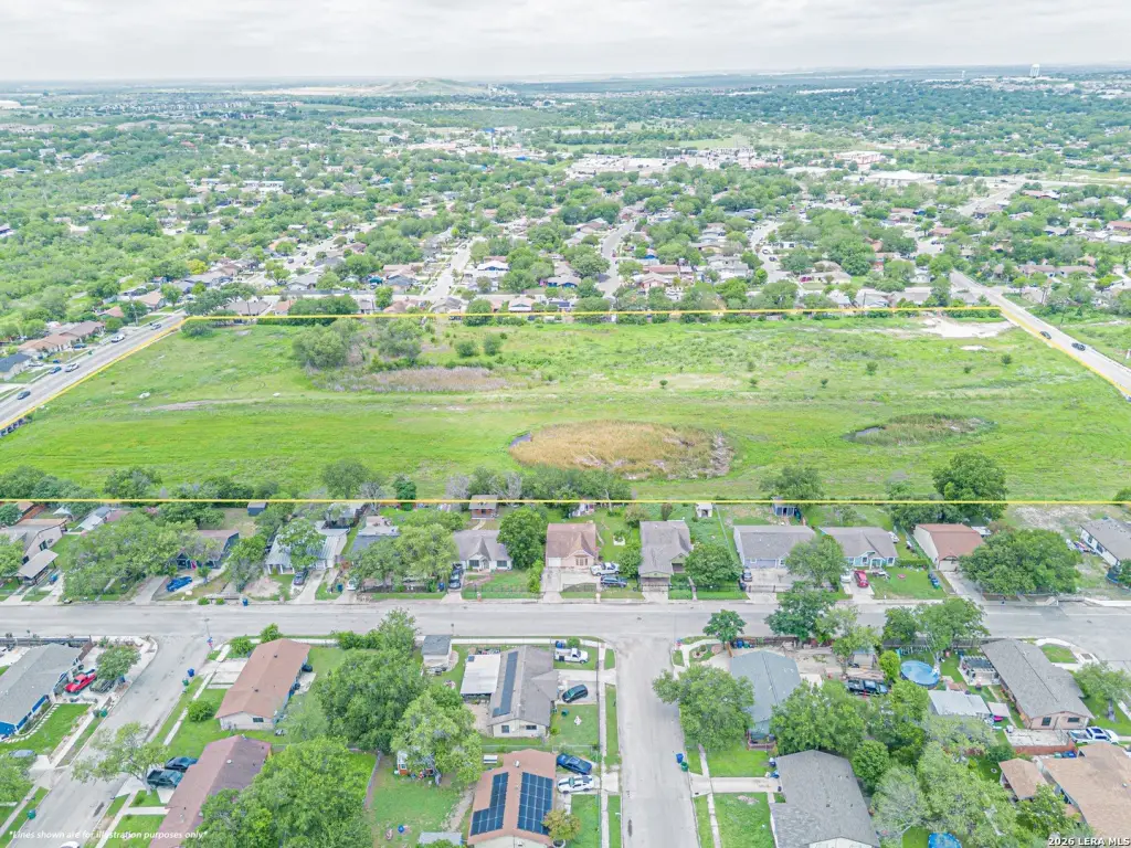
Lot Size11.10 Acres
Days on Market54
Property Features for Five Palms Dr
General Information
Property type
Land
Property subtype
Other
Zoning
R-6
Standard status
Active
Lot size
11.10 Acres
Taxes and HOA fees
Tax Annual Amount
2694
Listing Agency:
Real Broker, LLC
(855) 450-0442
Listed By:
Gianmarcos Villafane
(214) 202-7615
Added: Jun 5
Last Checked: Jul 28 at 7:06PM
MLS# 1973028
Copyright © 2026 LERA MLS. All rights reserved. All information provided by the listing agent/broker is deemed reliable but is not guaranteed and should be independently verified.
Investment Insights
Based on property information with market context.
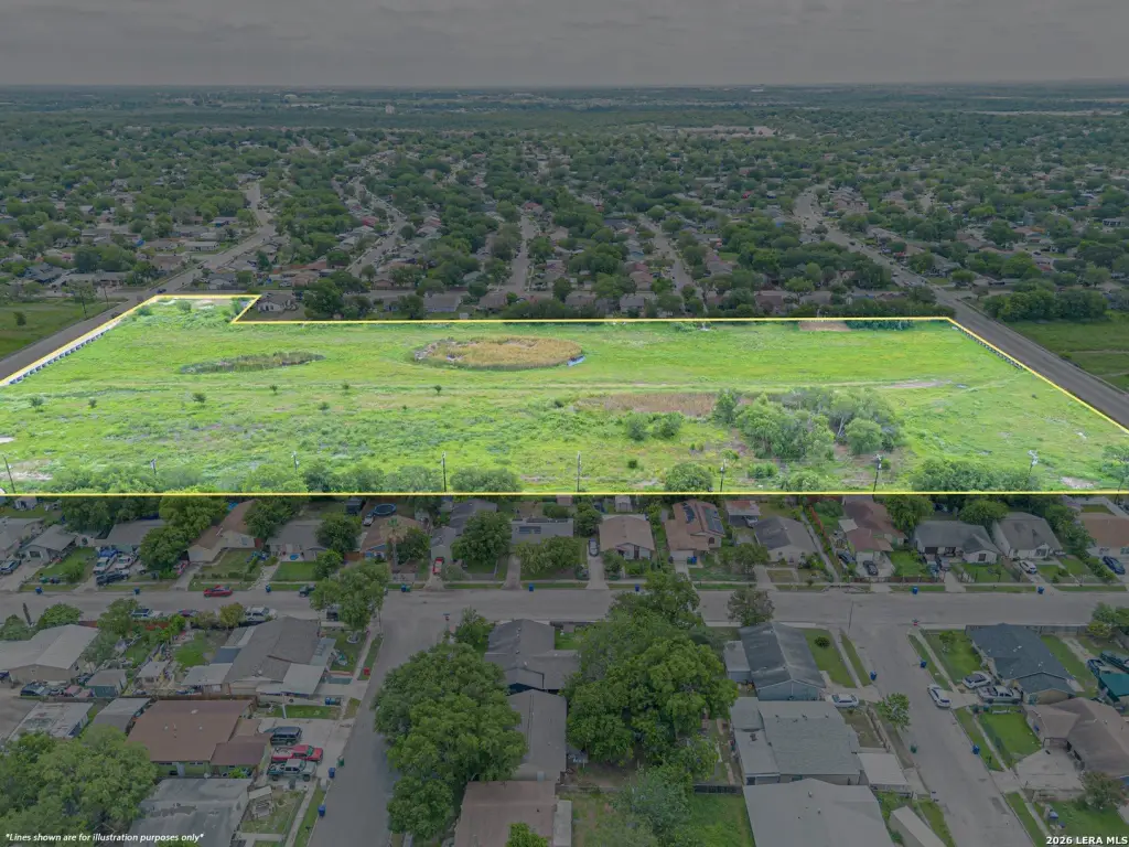
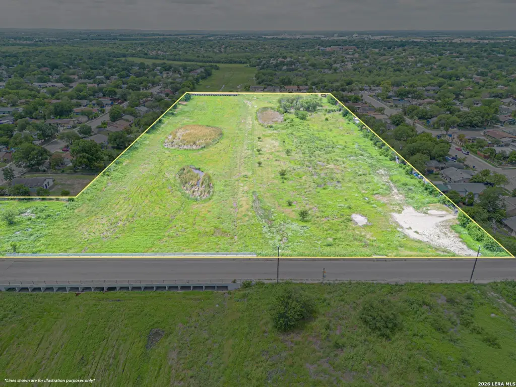
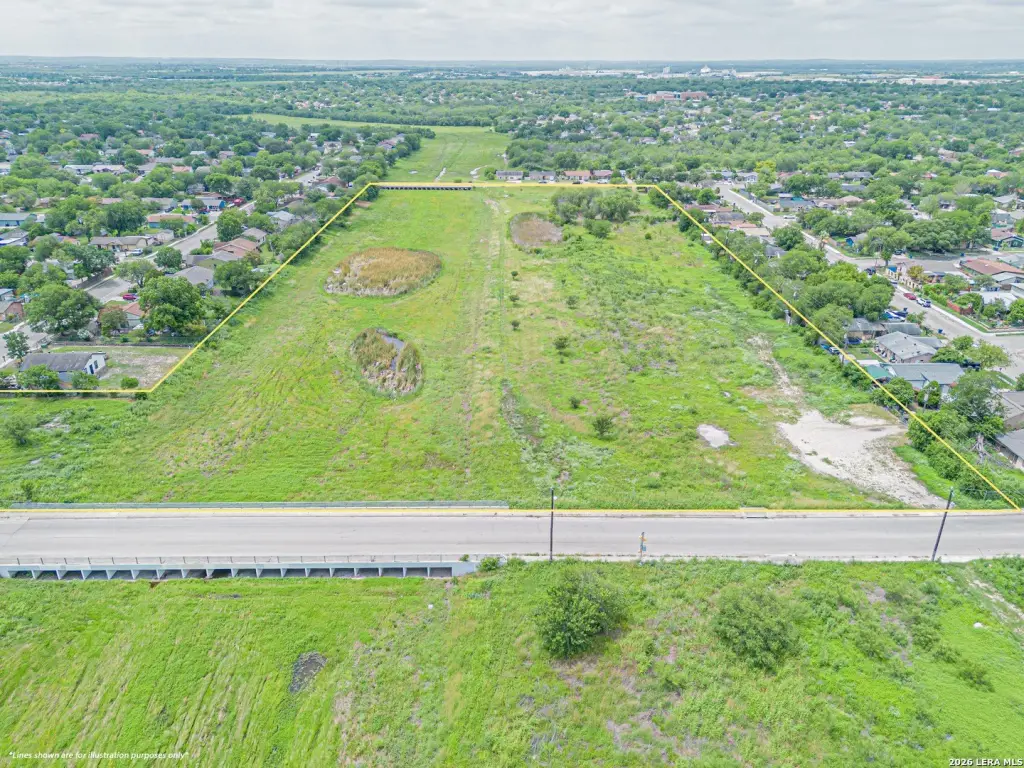
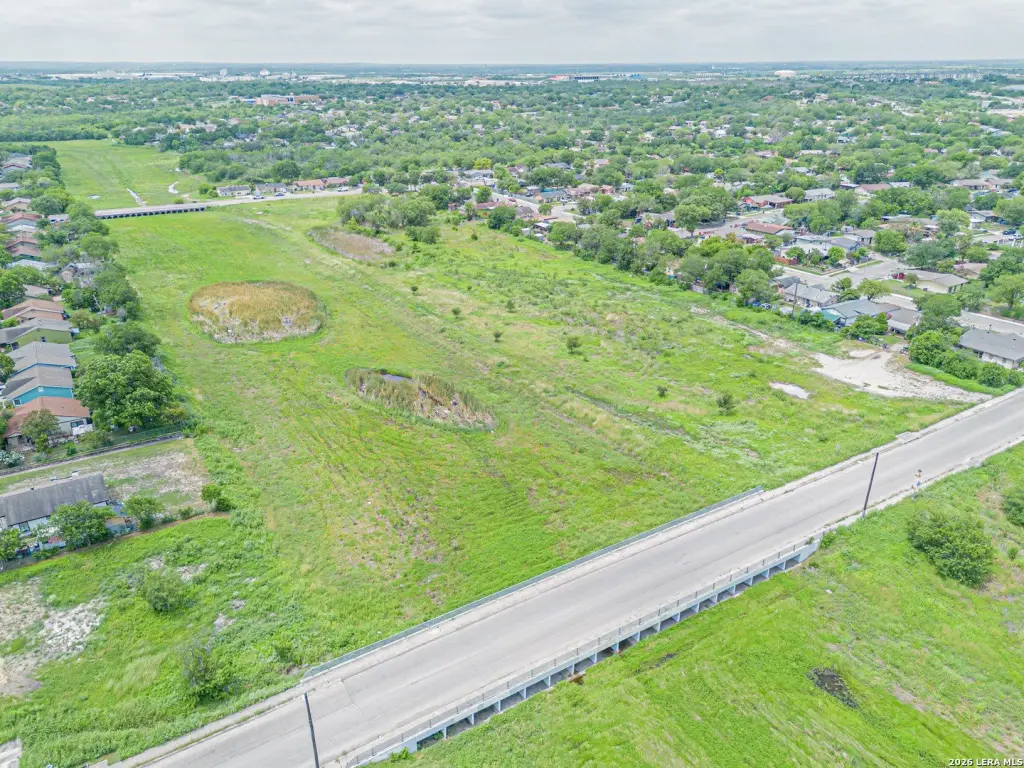
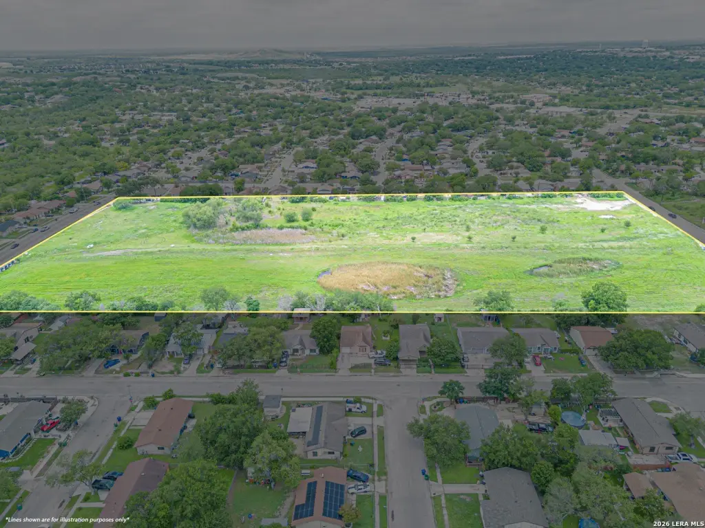
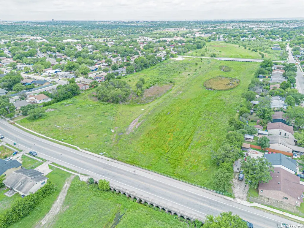
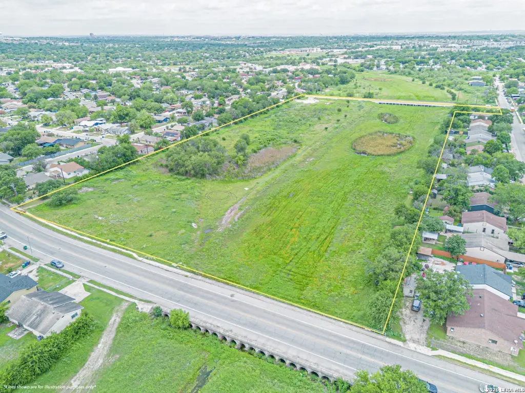
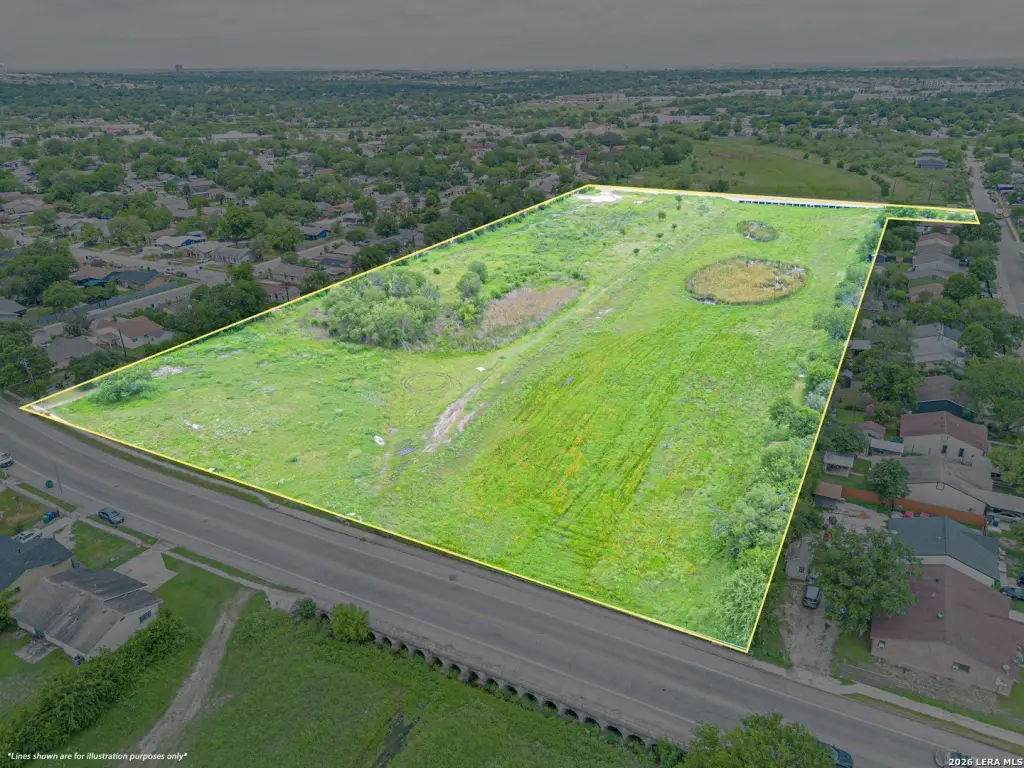
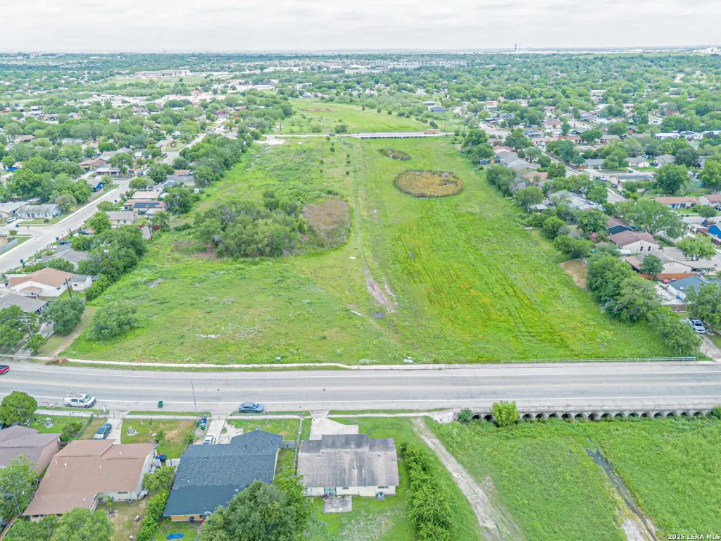
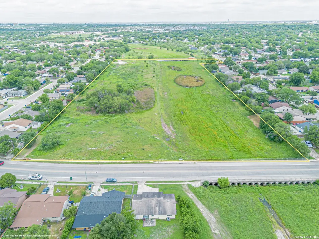
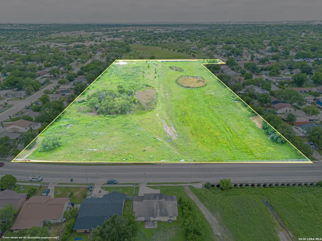
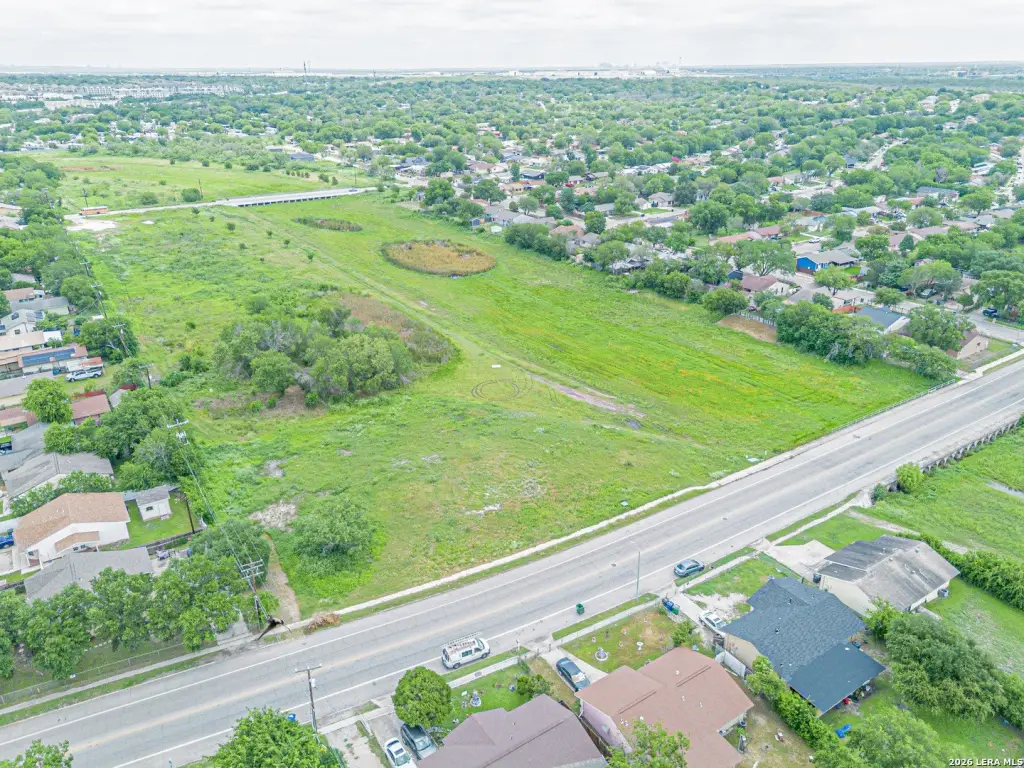
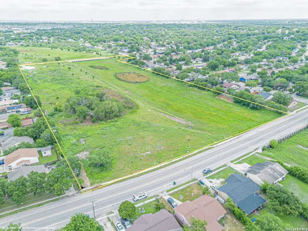
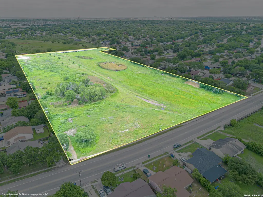
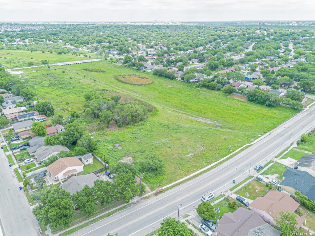
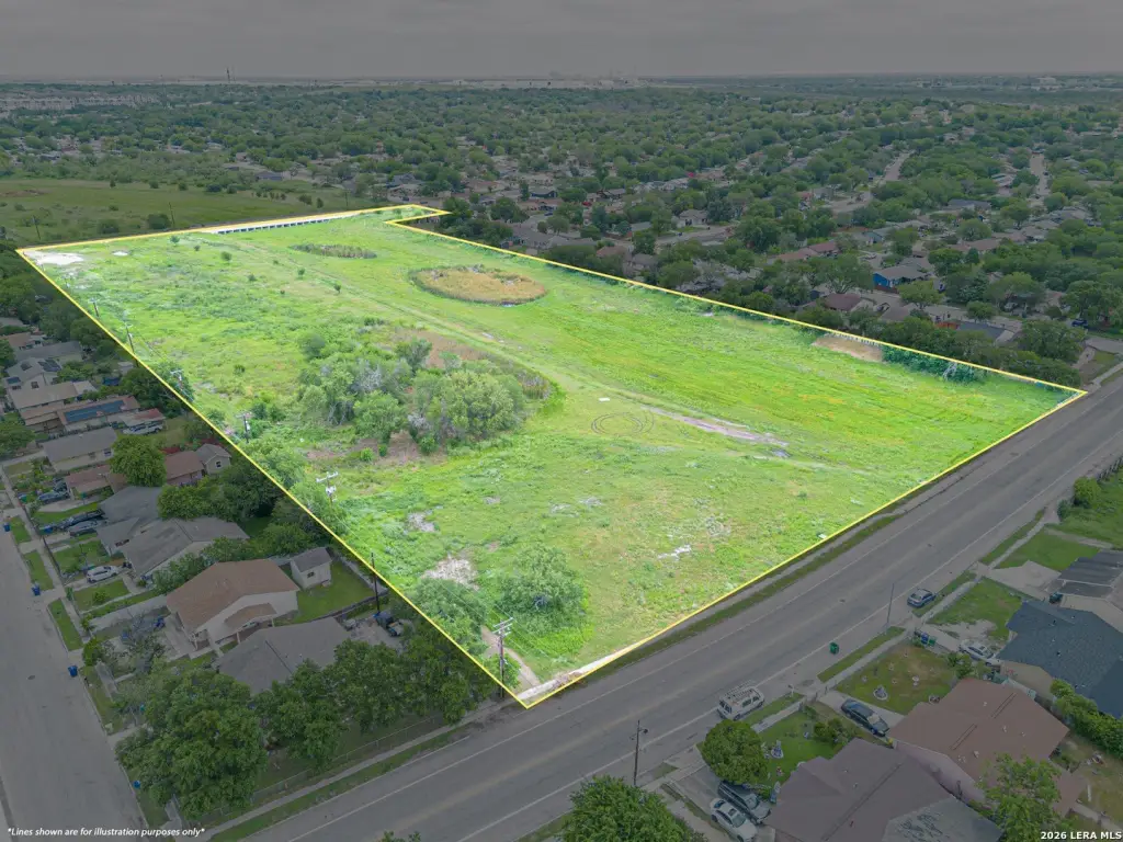
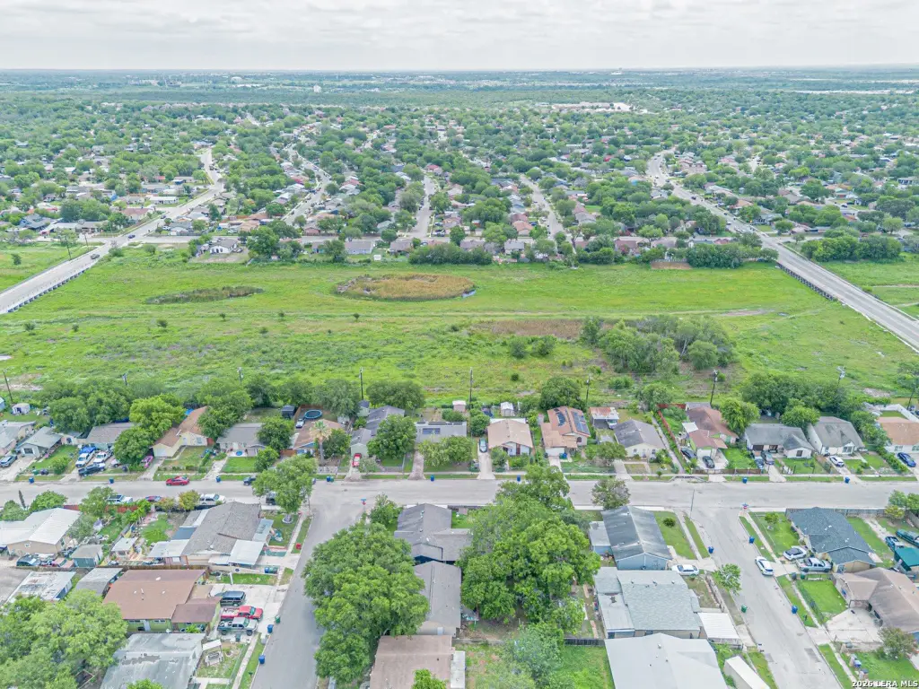
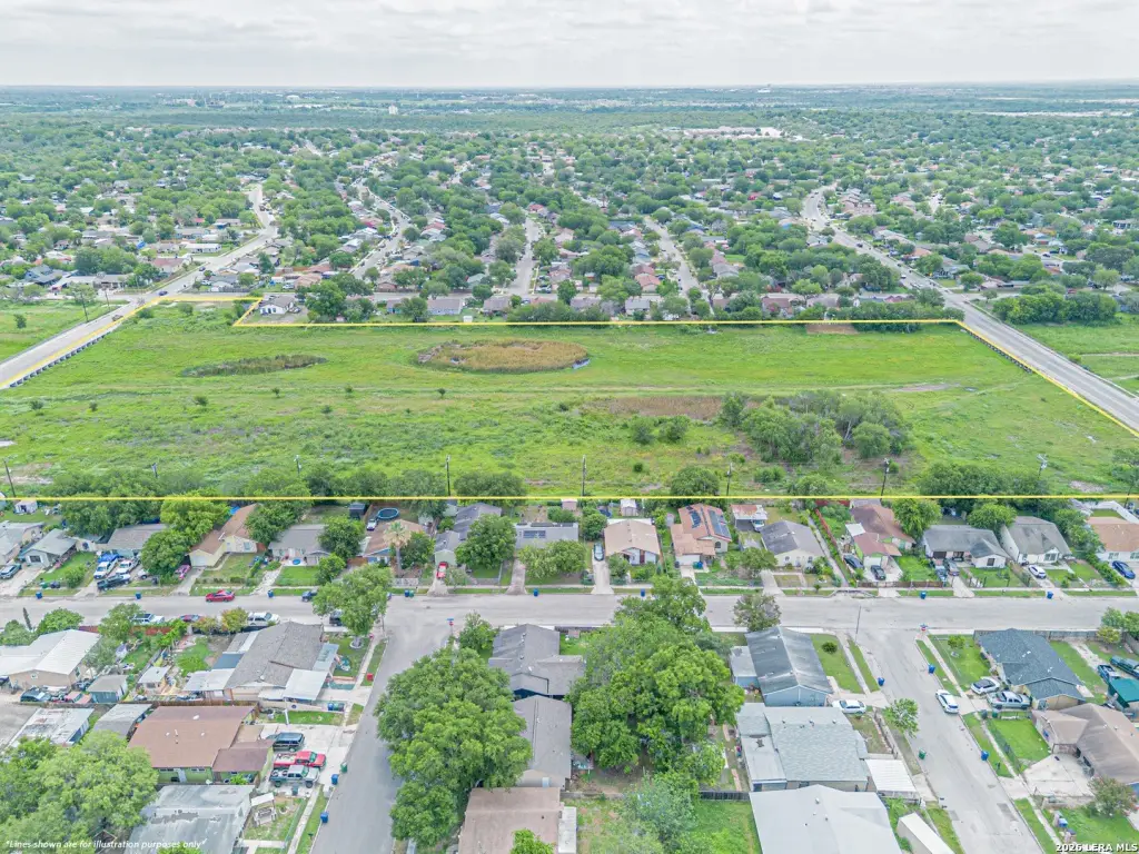
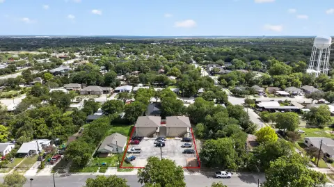
This listing offers approximately 11.1 acres of residential land in San Antonio, Texas, zoned R-6. The property is presented as a single, larger tract suitable for development planning and land-use alignment based on its zoning classification.
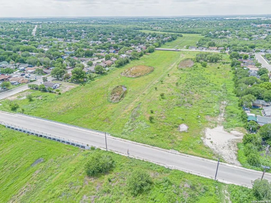
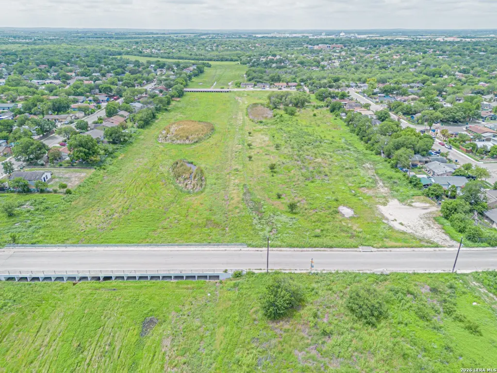
The site is described as being just south of Hwy 90 and Loop 410, near the intersection of Ray Ellison Drive and Five Palms Drive, within the Indian Creek subdivision. The parcel is positioned between Five Palms Drive and War Cloud Drive, which the seller notes contributes to strong accessibility to the surrounding area.
For buyers evaluating future site planning, the combination of R-6 zoning and the tract’s size supports a range of development concepts, including residential and mixed-use possibilities as noted in the marketing remarks. The location also places the property within reach of major employment and destination areas mentioned with the listing, including Lackland AFB, Port San Antonio, Toyota Motor Manufacturing Texas, and Texas A&M University–San Antonio. Prospective buyers should verify allowable uses and development requirements with the City of San Antonio based on the R-6 zoning and intended project scope.
Key Highlights
- Approximately 11.1‑acre tract in the Indian Creek subdivision of San Antonio
- Located just south of Hwy 90 and Loop 410 near the intersection of Ray Ellison Dr and Five Palms Dr
- Site is situated between Five Palms Dr and War Cloud Dr
Property Analytics
Location Intelligence
Current Use


Frequently Asked Questions
What type of property is this?
Residential land & home lot - R-6 zoned tract totaling 11.1 acres with access near major roads in a growing San Antonio subdivision.
Where is this residential land & home lot located?
The property is located at Five Palms Dr San Antonio, TX.
What is the asking price?
The asking price for this property is $295,000.
What are key features of this property?
This property features: Approximately 11.1‑acre tract in the Indian Creek subdivision of San Antonio; Located just south of Hwy 90 and Loop 410 near the intersection of Ray Ellison Dr and Five Palms Dr; Site is situated between Five Palms Dr and War Cloud Dr


