Ranch with Feed Pens and
395 Hwy 37 Mount Vernon, TX 75457

395 Hwy 37, Mount Vernon, TX, 75457
$2,362,198
For Sale
$2,362,198
LAND - Mount Vernon, TX
Property Size1,600 SF
Lot Size395.35 Acres
Price / SF$1,476
Days on Market16
Property Features for 395 Hwy 37
General Information
- Property type
- Land
- Property subtype
- Other
- Vegetation
- Grassed
- Standard status
- Active
- APN
- 10358
- Lot size
- 395.35 Acres
Taxes and HOA fees
- Tax Description
- AB 178 D FIELDS
- Tax Annual Amount
- 3500
Utilities
- Water front features
- Creek
Building Details
- Year built
- 1970
Listing agency
Heritage Land Company, LLC
(903) 922-1283
Listed by
Cole Hoskison · License #0629356
(903) 922-1283
Added: Jul 8 Checked: Jul 23 at 5:06AM
MLS# 21220818
Copyright © 2026 North Texas Real Estate Information Systems, Inc. All rights reserved. All information provided by the listing agent/broker is deemed reliable but is not guaranteed and should be independently verified.
Investment Insights
Based on property information with market context.
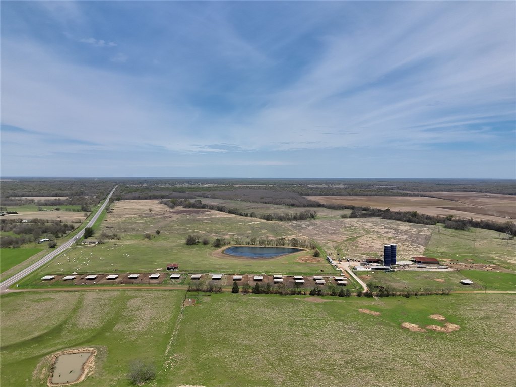
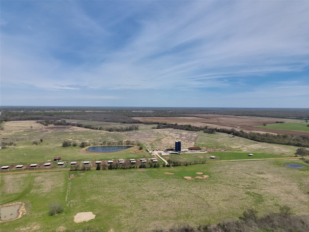
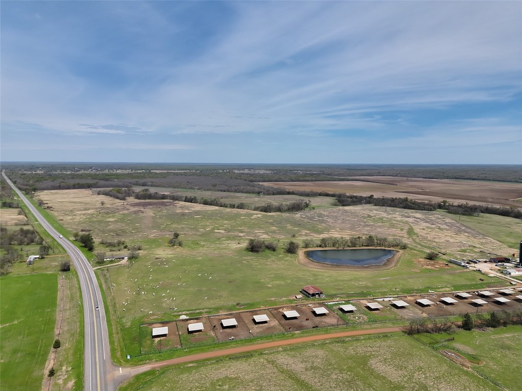
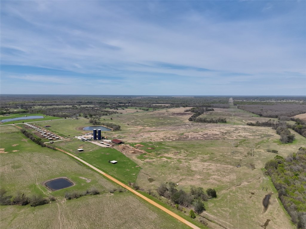
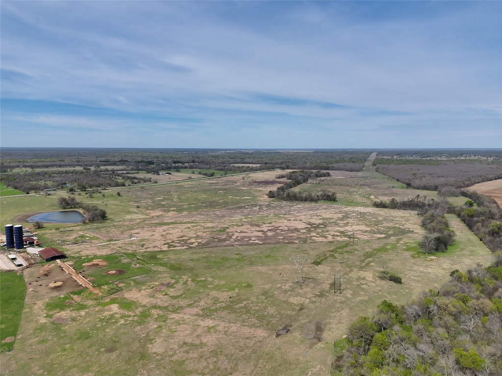
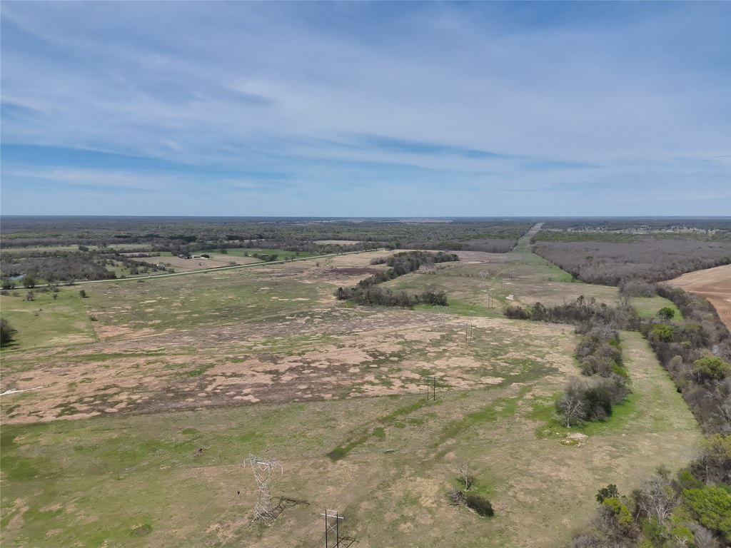
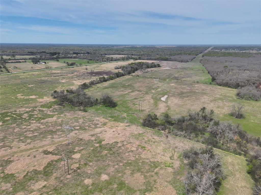
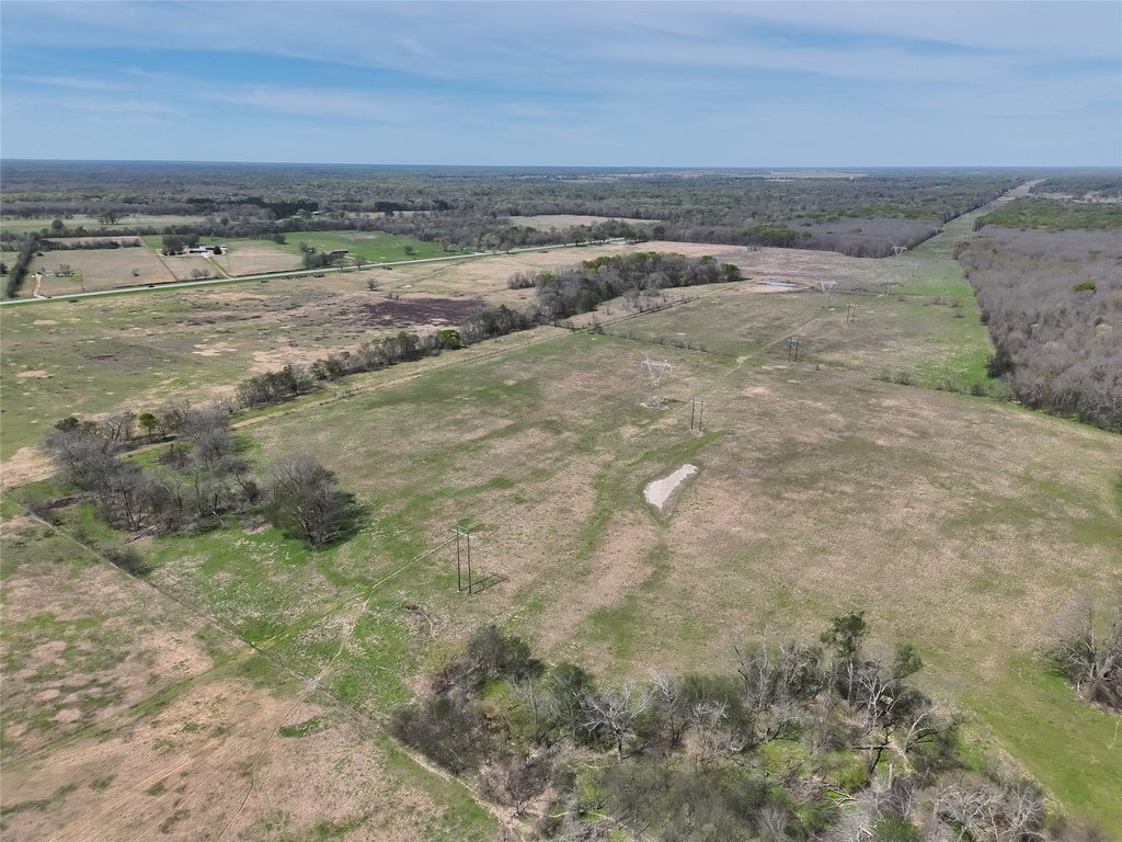
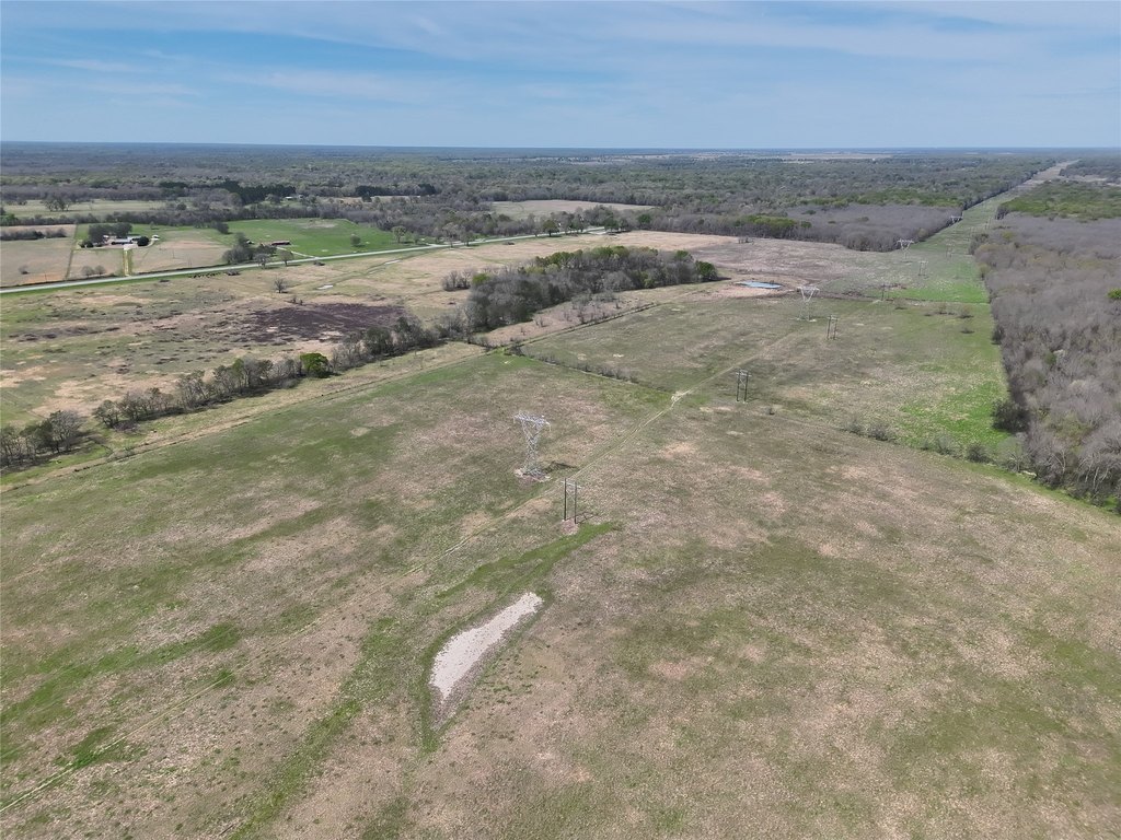
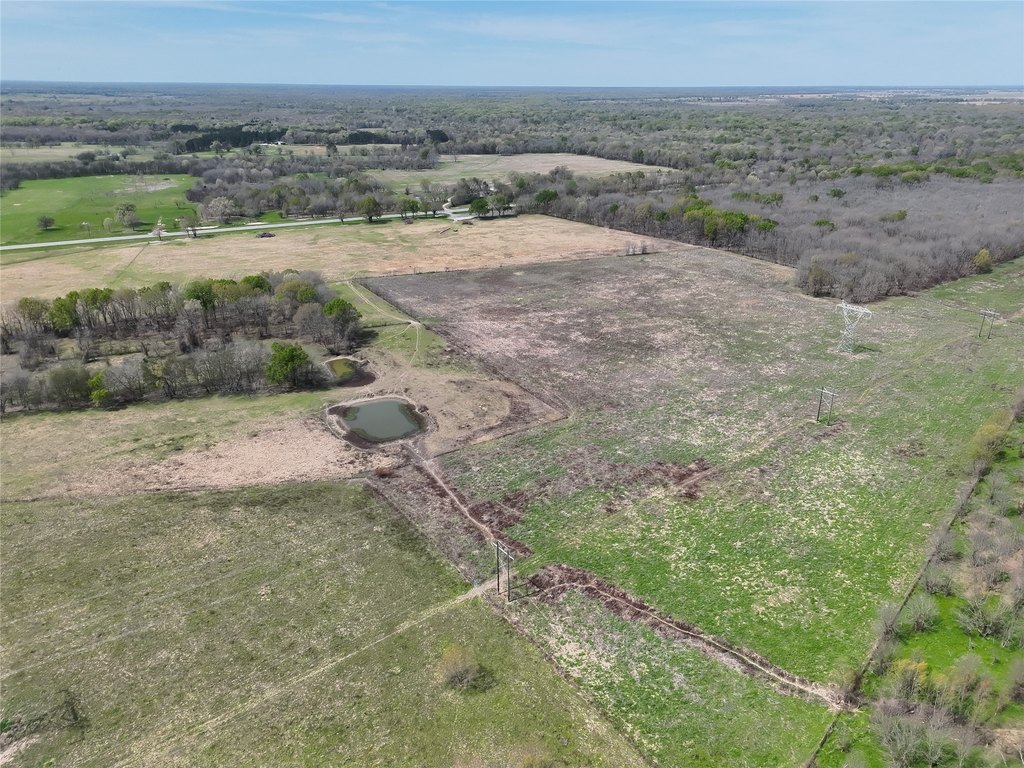
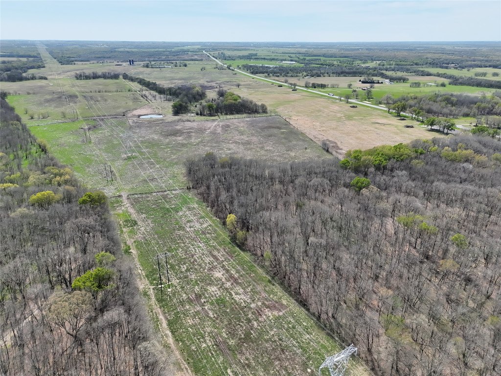
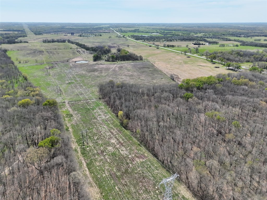
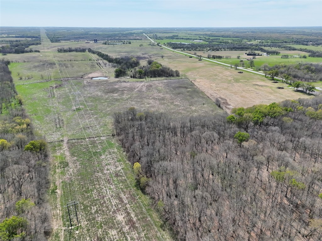
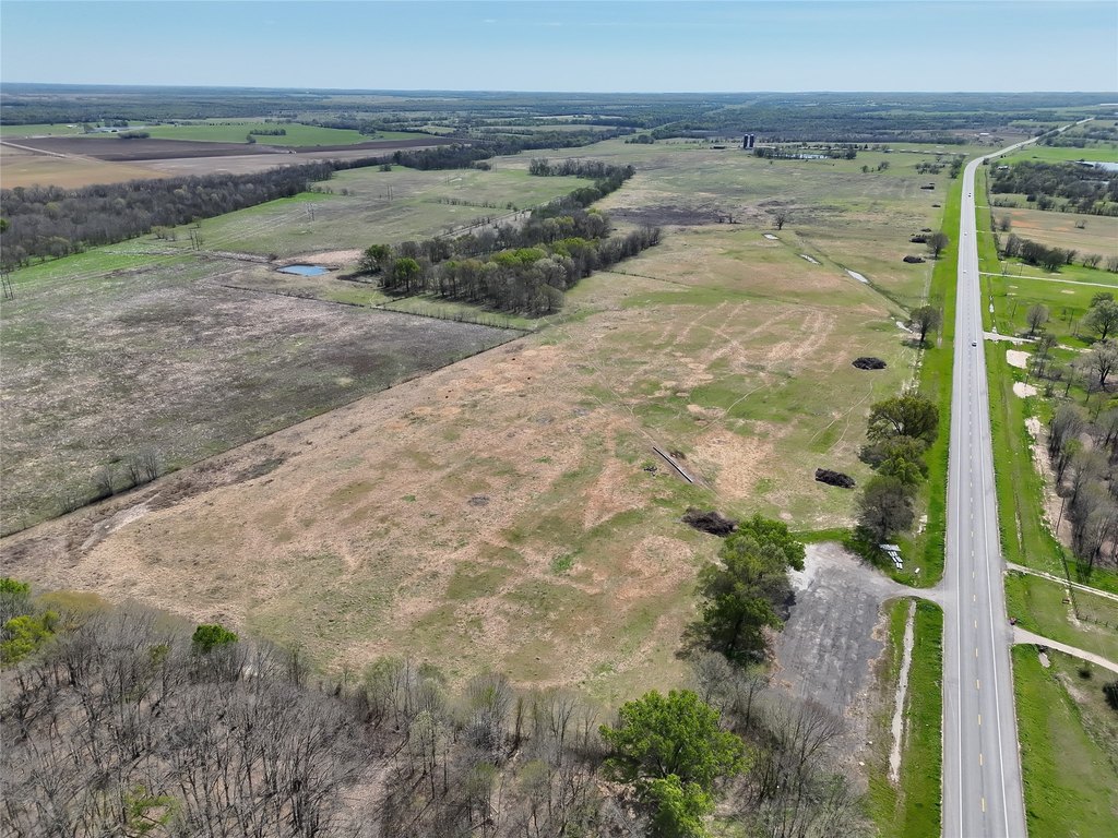
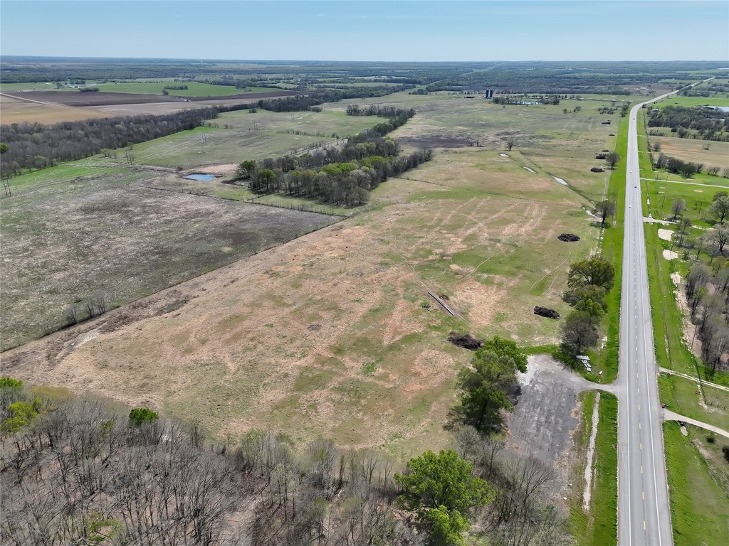
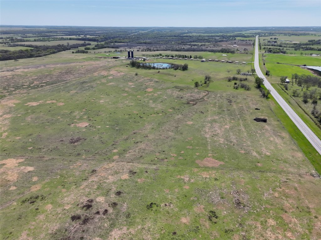
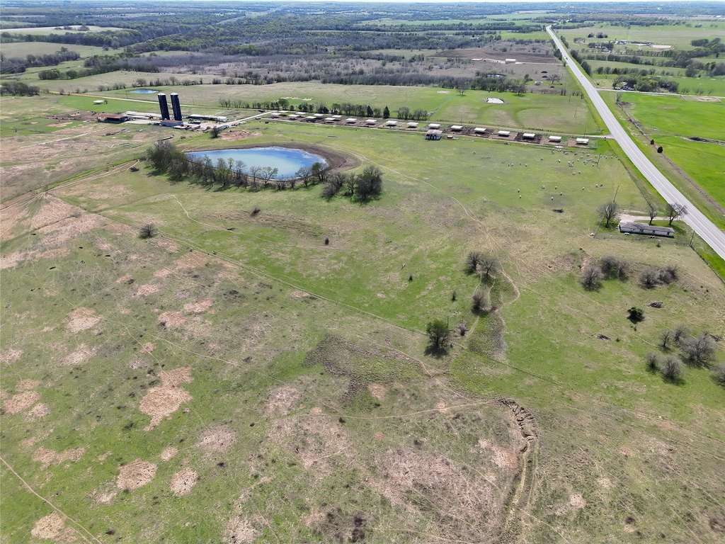
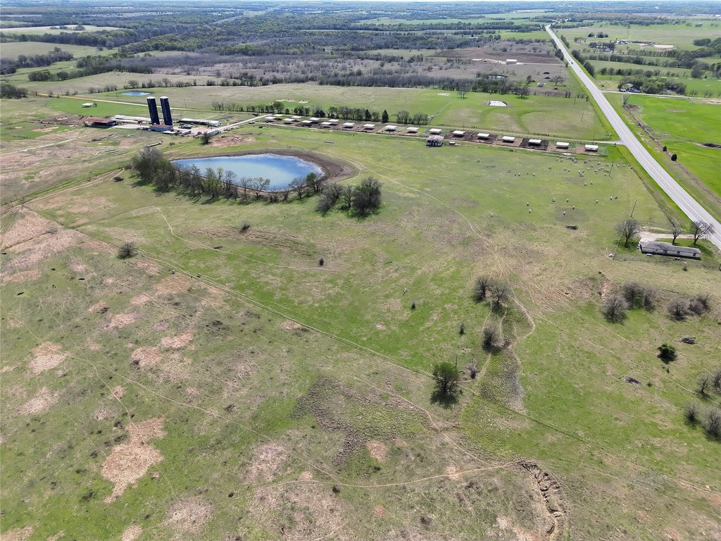
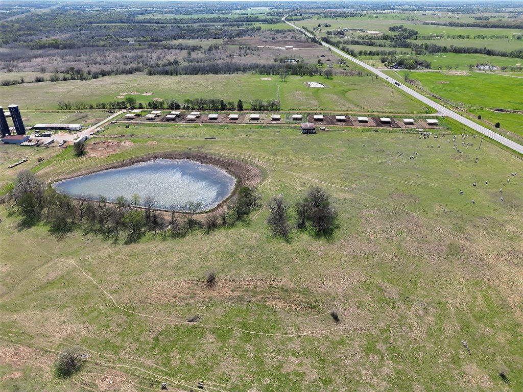
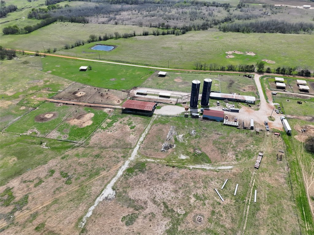
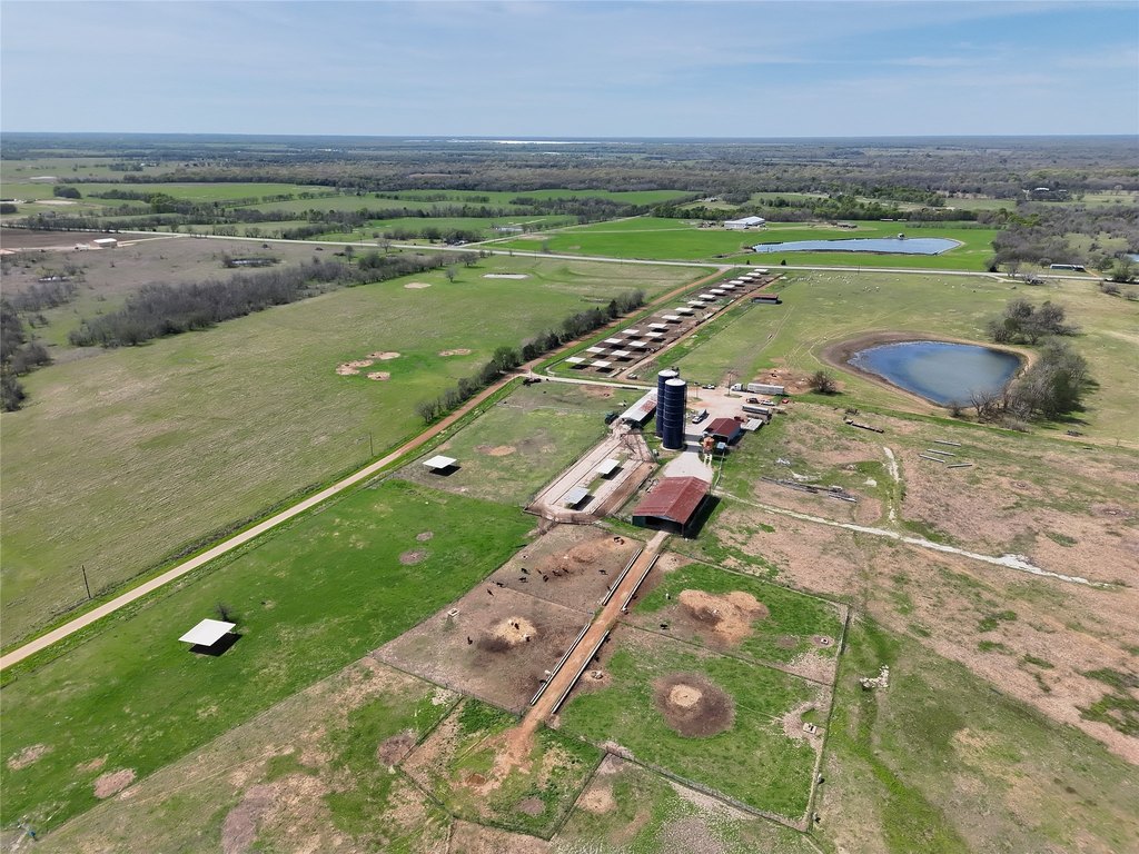
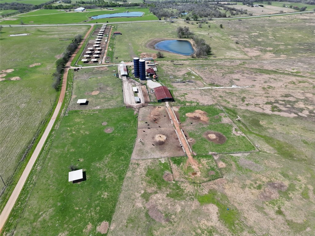
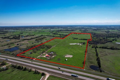
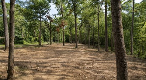
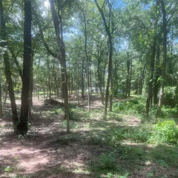
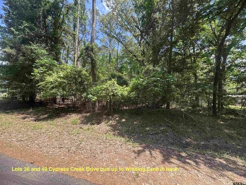
Ranch property located on a highly visible hard corner at Hwy 37 and County Road NE 2210, currently operating as a functional cattle operation. The ranch includes over 20 feed pens, multiple grass turnout traps, and an efficient system of lanes, working pens, and load-out facilities. Improved pasture and grazing resources support ongoing livestock use and forage production.
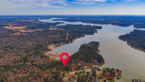
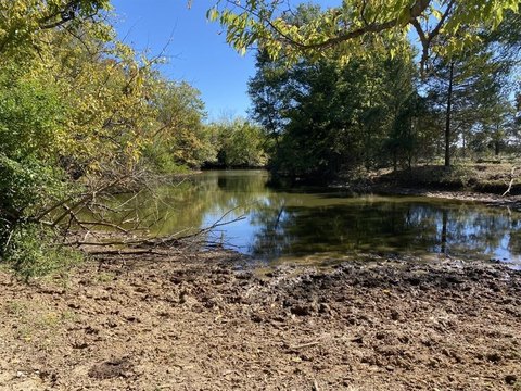
The property offers nearly 5,000 feet of highway frontage and over 3,000 feet of county road access. Along the eastern boundary, approximately 70 acres along Bear Pen Creek provide wildlife habitat.
In addition to the ranch improvements, there is a 1,600 sq ft, 2-bedroom, 2-bath brick home that may serve as an employee residence or rental opportunity. The seller also indicates an additional 100 acres of nearby pasture is available for purchase to expand the operation. Mt. Vernon’s downtown square has seen updates in recent years, and the property is described as being in proximity to I-30 as the broader area continues to develop.
Key Highlights
- Nearly 5,000 ft of highway frontage on Hwy 37 and over 3,000 ft of county road access at the Hwy 37/County Road NE 2210 hard corner
- Functional cattle operation with 20+ feed pens, multiple grass turnout traps, and an efficient system of lanes, working pens, and load‑out facilities
- Approximately 320 acres of improved pasture for grazing and forage production
Property Analytics
Location Intelligence
Current Use by Public Records
Ranches
Similar For Sale Nearby

FAQs
What type of property is this?
Ranch - Ranch property with an operating cattle setup, improved pasture, and a 2-bedroom brick home on highway frontage.
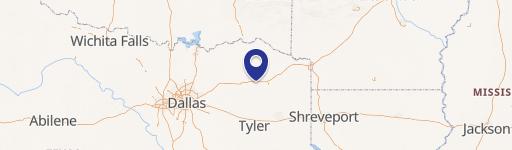
Where is this ranch located?
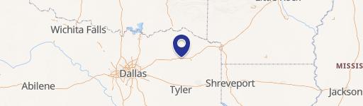
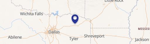
The property is located at 395 Hwy 37 Mount Vernon, TX.
What is the asking price?
The asking price for this property is $2,362,198.
What are key features of this property?
This property features: Nearly 5,000 ft of highway frontage on Hwy 37 and over 3,000 ft of county road access at the Hwy 37/County Road NE 2210 hard corner; Functional cattle operation with 20+ feed pens, multiple grass turnout traps, and an efficient system of lanes, working pens, and load‑out facilities; Approximately 320 acres of improved pasture for grazing and forage production


