Commercial Development
For Sale
$1,500,000
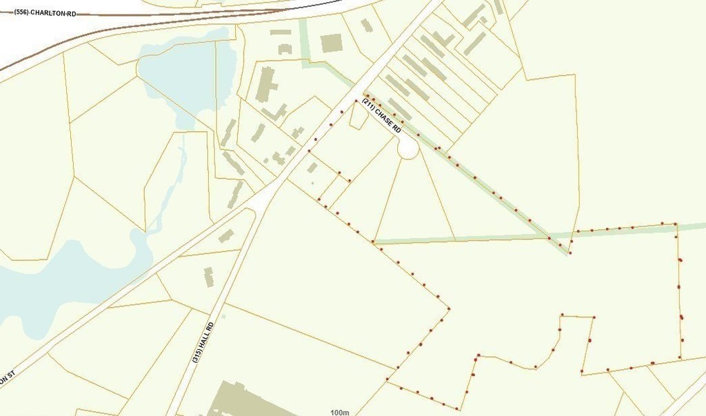
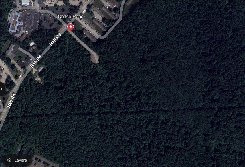
1 Chase Road, Sturbridge, MA 01566
Land, Sturbridge, MA
Property SizeContact for details
Lot Size36.00 Acres
Days on Market604
Property Features for 1 Chase Road
General Information
Property type
Land
Property subtype
Other
Zoning
Comm, & RR
Directions
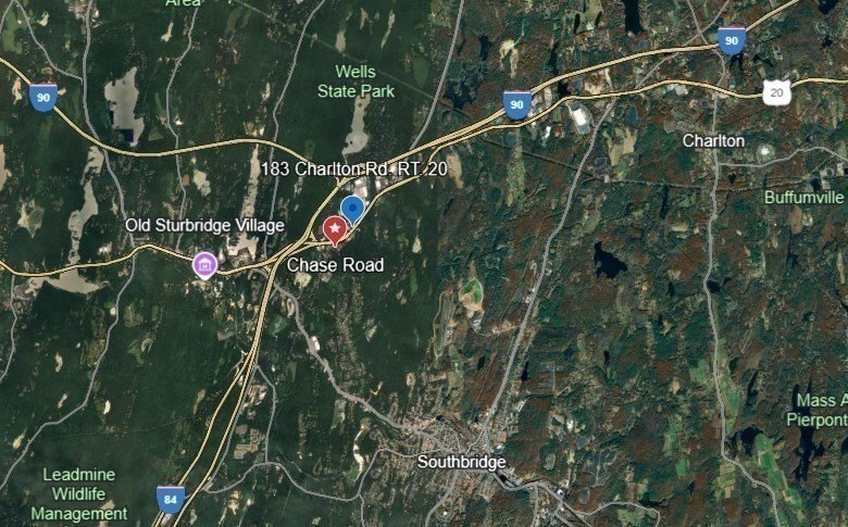
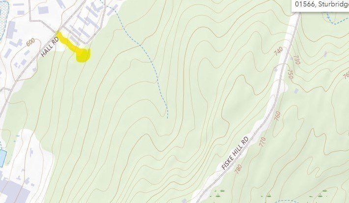
From Mass. Pike, take Rt. 20 east, right on to Hall Rd. First road on left after the apartments.
Standard status
Active
APN
4670606
Lot size
36.00 Acres
Taxes and HOA fees
Tax Year
2025
Listing Agency:
RE/MAX Prof Associates · RE/MAX International
Listed By:
Lorraine Herbert
(508) 347-9595
Added: Feb 9, 2025
Changed: Sep 3
Last Checked: Oct 6 at 1:06AM
MLS# 73333739
Copyright © 2026 MLS Property Information Network Inc. All rights reserved. All information provided by the listing agent/broker is deemed reliable but is not guaranteed and should be independently verified.
Investment Insights
Based on property information with market context.
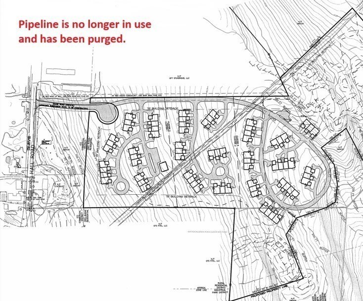
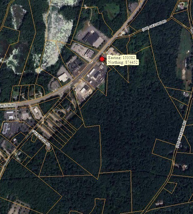
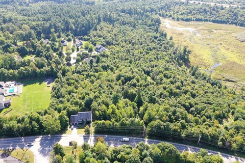
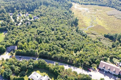
This property consists of approximately 36 acres and includes a previously approved concept for a 71-unit multiple dwelling project. The plan contemplated 24 acres for townhome-style homes and 12 acres of open space, arranged on a 450-foot cul-de-sac. On the corner of Hall Road and Chase Road, there is also a 2.4-acre commercial lot. The site has subsurface documentation available, including 17 soil test borings and 51 test pits.
The parcel is positioned with convenient regional access. An on-ramp to I-84 and I-90 is approximately half a mile away, behind Wendie’s on Route 20, supporting connectivity throughout Central New England. Route-level access is also described to include Route 49, Route 20, Route 148, and Tr. 131, in addition to I-84 and I-90.
Zoning is listed as “Comm, & RR,” with stated potential uses including market rate OSRD, 55+ community, assisted living, nursing home, hospital, 40B, single-family attached, SF rental, or combinations subject to town approval. The seller notes that all interested parties should conduct independent investigation to confirm feasibility and determine maximum building potential for the site.
The parcel is positioned with convenient regional access. An on-ramp to I-84 and I-90 is approximately half a mile away, behind Wendie’s on Route 20, supporting connectivity throughout Central New England. Route-level access is also described to include Route 49, Route 20, Route 148, and Tr. 131, in addition to I-84 and I-90.
Zoning is listed as “Comm, & RR,” with stated potential uses including market rate OSRD, 55+ community, assisted living, nursing home, hospital, 40B, single-family attached, SF rental, or combinations subject to town approval. The seller notes that all interested parties should conduct independent investigation to confirm feasibility and determine maximum building potential for the site.
Key Highlights
- Previously approved for a 71‑unit multiple dwelling project on Chase Road
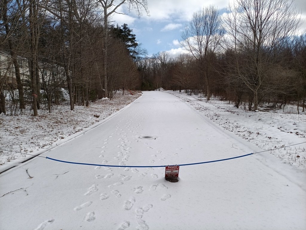
- 24 acres for townhouse‑style homes plus 12 acres of open space on a 450‑ft cul‑de‑sac
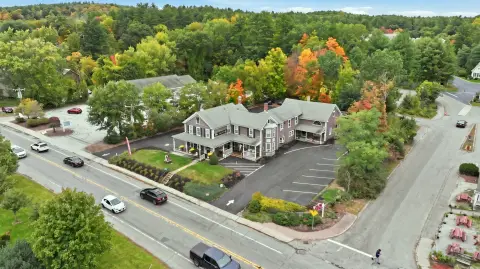
- 2.4‑acre commercial lot on the corner of Hall Road and Chase Rd
Property Analytics
Unlock full access to Insights
Subscribe to Realmo Intelligence
Open Analytics
Current Use
Lease Details
71
Residential units
Yes
Highway access
Yes
Paved road access
Location Intelligence
Trade Area within ½ mile
107
Businesses Nearby
Explore this area
Business Placement
Demographics for 01566, MA
6,691
Population
3,041
Households
2.2
Avg Household Size
46
Median Age
46%
College-Educated
95%
High-School Grad
25.0 sq mi
ZIP Area
268
Density / Sq Mi
$135,802
Median Household Income
$77,314
Median Earnings
$1,677
Median Rent
$393,000
Median Home Value
Check the figures for this property
Cap Rate, Value Estimation, Potential NOI and more
View Realmo Analytics

Questions? Ask Rey
Realmo’s AI knows this listing — price, zoning, demand, history. Ask anything.







Frequently Asked Questions
What type of property is this?
Commercial land - Large mixed-use development parcel with prior approval history and access to major interstates.
Where is this commercial land located?
The property is located at 1 Chase Road Sturbridge, MA.
What is the asking price?
The asking price for this property is $1,500,000.
What are key features of this property?
This property features: Previously approved for a 71‑unit multiple dwelling project on Chase Road; 24 acres for townhouse‑style homes plus 12 acres of open space on a 450‑ft cul‑de‑sac; 2.4‑acre commercial lot on the corner of Hall Road and Chase Rd


