Property profile & analytics
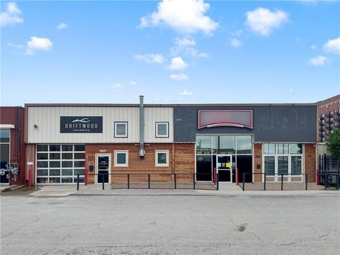
701 Lou Holland Dr Kansas City, MO 64116-4226
- Commercial real estate
- 0.76 lot acres
OFF-MARKET
Value Estimations
Cap Rate Potential
Location Intelligence
Property ID
US48-0451499
The Realmo ID is a unique identifier assigned to every property, incorporating country codes and precise geo-coordinates for 300x300-foot land blocks. It enables standardized data collection and seamless integration of disparate sources such as ownership, tax, title data and physical specifications. By aggregating current and historical records, the Realmo ID powers advanced analytics and delivers deep, verifiable insights for real estate professionals.
Current Use by Public Records
- Duncan Aviation / Distribution Center / Logistics Company
- Safe Sky LLC / Business Management Consultant / Professional Services
Property Details for 701 Lou Holland Dr
- Lot size
- 0.76 lot acres
- Property type
- Commercial real estate
- APN
- 17-504-00-01-003-08
- APU
- 17504000100308
Value Estimations
based on Realmo’s proprietary methodology
-
AI approach
-
CAP approach
-
Comparable approach
-
Alternative Use
Get a detailed, property-specific valuation — fast and free
Location Insight
- Map
- Local Demand
- City
- Kansas City
- County
- Clay
- State
- Missouri
- Longitude
- -94.5979
- Latitude
- 39.1239
- CBSA code
- 28140
- CBSA name
- KANSAS CITY, MO-KS METROPOLITAN STATISTICAL AREA
Property Tax & Assessments
Tax date
Tax Amount
Assessed Land Value
Assessed Improvement Value
Total Assessed Value
Applied Tax Rate
Land Market Value
Improvement Market Value
Total Market Value
2023
$2,938
$0.00
$0.00
$31,170
-
$0.00
$0.00
$97,406