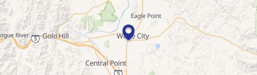
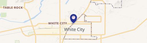
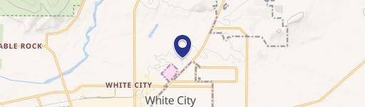
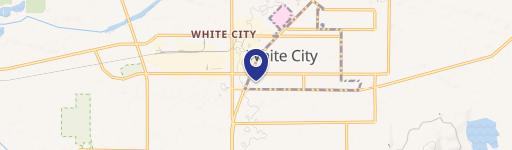
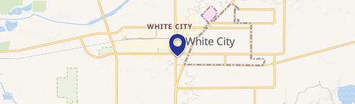
6611 Agate Rd White City, OR 97503-1610
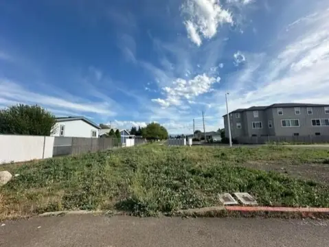
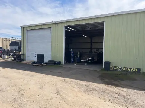
This exceptional 14.71-acre industrial property in White City, Oregon, presents a unique investment opportunity. Priced at $1,600,000, this vacant warehouse boasts 5,197 square feet of net rentable space, translating to a price per square foot of $307.87. The property features three units, each valued at $533,333.33. Situated on Agate Road, it offers convenient access to Crater Lake Highway and the Rogue Valley Expressway. The property includes a 3,500 square foot shop building and a 1,600 square foot residence. Zoned OSR/RR-5, it has a history of commercial use, although potential buyers should conduct their own due diligence regarding permitted uses and potential zoning changes. Note that a portion of the property, specifically a pond and wetland/flood plain area on the north end, may impact usability. The property's occupancy date is May 24, 2024. The Assessor's Parcel Numbers (APN) are 10995171 and 1018561. This is an owner/user investment opportunity with significant potential.
Cap rate
Implied · in-place · derived from last sale + estimated NOIValue
AI, CAP & Alternative Use estimations · Realmo proprietary blendProperty tax & assessments
Tax year 2023Comparables
6 recent transactions · within 1.5 miComparable in this City
Similar Nearby for Sale


Similar Nearby for Lease


Property description
Physical attributes from public recordsZoning & alternative use
OSR · White City, ORWhite City. Always verify with local authorities before improvements.
Costs & Benchmarks
Operating expenses, capex projections, utility benchmarks, and submarket comparables — all in one view.
Risks
Flood, climate, environmental, title, and tenant-concentration risk — surfaced with mitigations and source citations.


