21520 Sonoma St, Burney, CA 96013-9752
- Grocery and convenience stores
- 0.40 lot acres
Current Use by Public Records
- Grocery and convenience stores
Property Details for 21520 Sonoma St
- Lot size
- 0.40 lot acres
- Zone code
- C-2
- Property type
- Grocery and convenience stores
- APN
- 030-310-055-000
- APU
- 30310055000
Sales History
| Date | Price | Buyer | Seller | Deed Type | Mortgage |
|---|---|---|---|---|---|
| Aug 8, 2013 | — | Sos Properties LLC | Sos Properties | Quit Claim Deed · related | — |
| Mar 31, 1998 | $175,000 | Properties Sos | Jones,daniel J & Debra M | Grant Deed | $295k · Seller |
| Sep 16, 1994 | — | Daniel L Jones | — | Grant Deed · related | $195k · Tri Counties Bank |
| — | — | Daniel L Jones | — | Deed Of Trust · related | $224k · Tri Counties Bank |
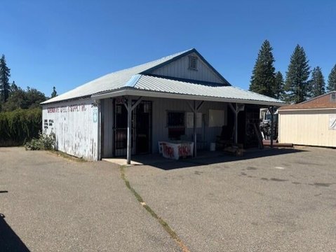
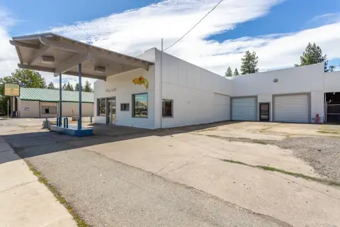
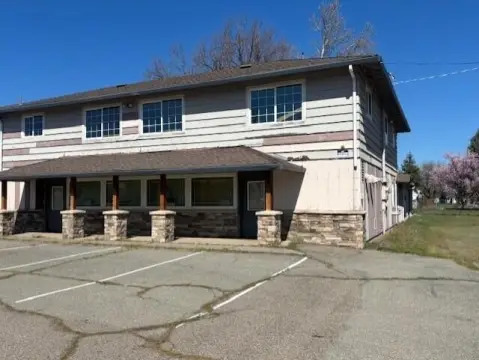
Description
This 1,500 square foot building sits on a 0.38-acre lot with exceptional visibility along Highway 299, approximately 2.5 miles north of Burney, California. The property's former use as a gas station has been legally decommissioned, with all necessary environmental agency closure permits obtained, eliminating environmental concerns for future development. Its strategic location offers significant advantages, being roughly 2 miles from the planned Pit River Tribe cultural center and tourism destination at the 4 corners interchange. This presents a unique opportunity for substantial growth and increased foot traffic. The existing building provides immediate usability, while the oversized lot allows for diverse redevelopment options. Potential uses include commercial, retail, service-commercial businesses, or even a vehicle or equipment rental yard. The ample space is ideal for the storage and display of vehicles, equipment, machinery, and inventory. The asking price allows for flexibility
Value Estimations
-
AI approach
-
CAP approach
-
Comparable approach
-
Alternative Use
Get a detailed, property-specific estimation — fast and free
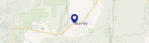
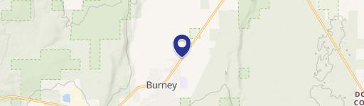
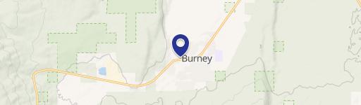
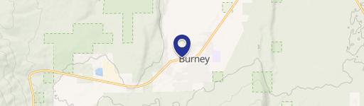
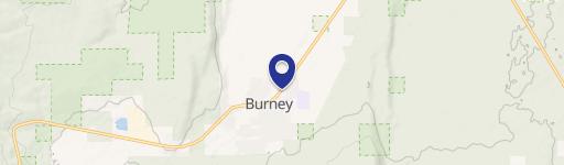
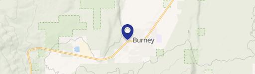
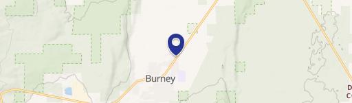
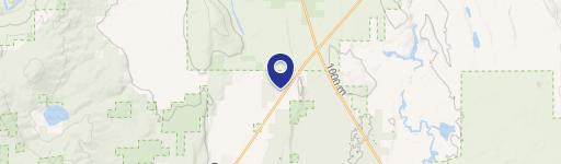
Location Insight
- Map
- Local Demand
- City
- Burney
- County
- Shasta
- State
- California
- Longitude
- -121.631
- Latitude
- 40.9142
- CBSA code
- 39820
- CBSA name
- REDDING, CA METROPOLITAN STATISTICAL AREA