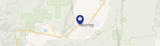
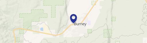
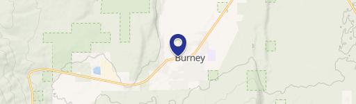
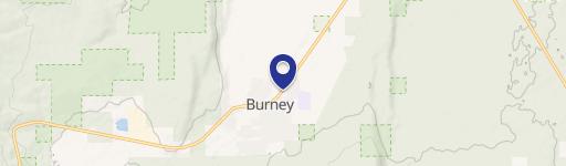
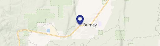
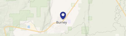
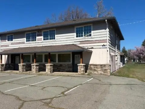
37505 State Hwy 299th E Burney, CA 96013-4386
Property profile & analytics
37505 State Hwy 299th E, Burney, CA 96013-4386
- Grocery and convenience stores
- 2.01 lot acres
Property ID
US09-4705897
The Realmo ID is a unique identifier assigned to every property, incorporating country codes and precise geo-coordinates for 300x300-foot land blocks. It enables standardized data collection and seamless integration of disparate sources such as ownership, tax, title data and physical specifications. By aggregating current and historical records, the Realmo ID powers advanced analytics and delivers deep, verifiable insights for real estate professionals.
Location Intelligence
Current Use by Public Records
- Grocery and convenience stores
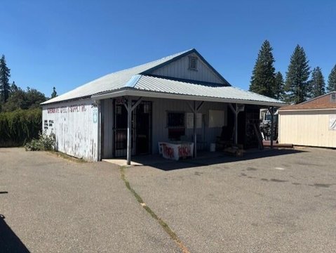
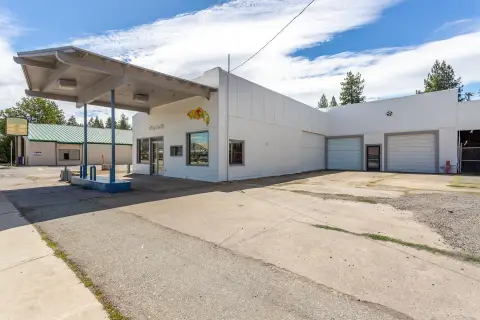
Property Details for 37505 State Hwy 299th E
- Year built
- 2020
- Construction
- TILT-UP CONCRETE
- Lot size
- 2.01 lot acres
- Zone code
- C-2-DR
- Property type
- Grocery and convenience stores
- APN
- 028-370-024-000
- APU
- 28370024000
Sales History
| Date | Price | Buyer | Seller | Deed Type | Mortgage |
|---|---|---|---|---|---|
| Nov 26, 2025 | $5,750,000 | Ral Assets LLC | Olness Properties LLC | Grant Deed | $3.7M · Oak Valley Community Bank |
| Feb 3, 2021 | $7,775,000 | Olness Properties LLC | Burney Gobdg LLC | Grant Deed | $5.1M · Credit Union 1 |
| Oct 4, 2019 | — | Burney Gobdg LLC | — | Trustees Deed · related | $4.8M · Bank Of Commerce |
| Aug 1, 2019 | $450,000 | Burney Gobdg LLC | Fruit Growers Supply Co | Grant Deed | — |
Value Estimations
based on Realmo’s proprietary methodology
-
AI approach
- Method
- Estimation
- Statistic approach
- $4,880,000
- ML approach
- $5,680,000
Get a detailed, property-specific estimation — fast and free
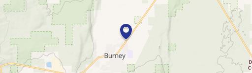
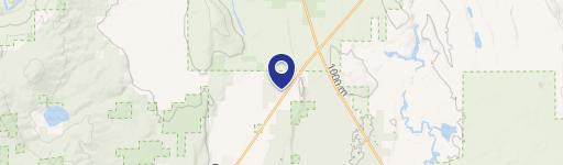
Location Insight
- Map
- Local Demand
- City
- Burney
- County
- Shasta
- State
- California
- Longitude
- -121.651
- Latitude
- 40.8912
- CBSA code
- 39820
- CBSA name
- REDDING, CA METROPOLITAN STATISTICAL AREA
Property Tax & Assessments
Tax date
Tax Amount
Assessed Land Value
Assessed Improvement Value
Total Assessed Value
Applied Tax Rate
Land Market Value
Improvement Market Value
Total Market Value
2024
$88,978
$795,906
$7,454,986
$8,250,892
-
$0.00
$0.00
$0.00