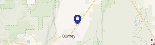
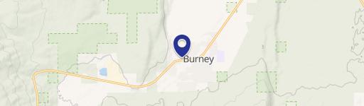
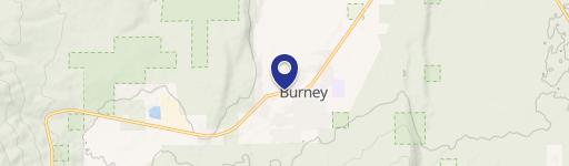
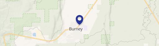
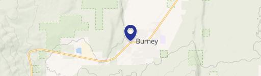
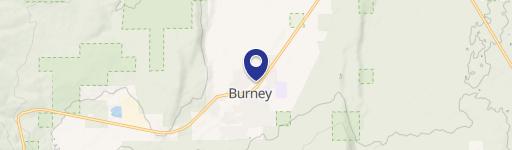
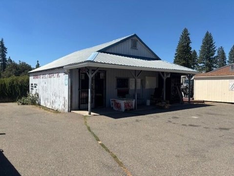
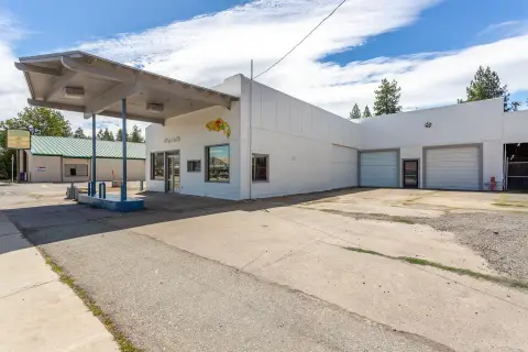
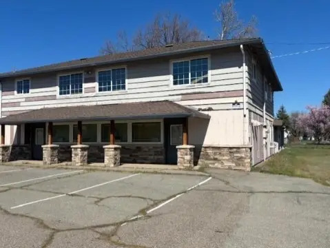
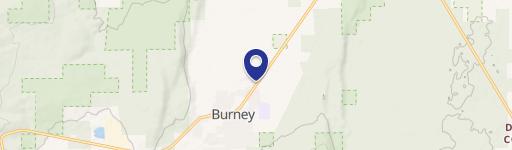
37047 State Hwy 299th E Burney, CA 96013-4214
Property profile & analytics
37047 State Hwy 299th E, Burney, CA 96013-4214
- Grocery and convenience stores
- 2,725 SF
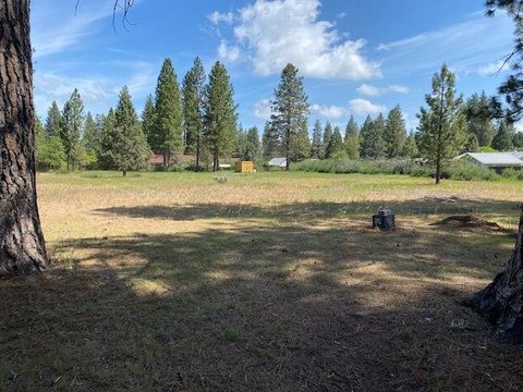
- 2.06 lot acres
Property ID
US09-1168596
The Realmo ID is a unique identifier assigned to every property, incorporating country codes and precise geo-coordinates for 300x300-foot land blocks. It enables standardized data collection and seamless integration of disparate sources such as ownership, tax, title data and physical specifications. By aggregating current and historical records, the Realmo ID powers advanced analytics and delivers deep, verifiable insights for real estate professionals.
Location Intelligence
Current Use by Public Records
- Grocery and convenience stores
Property Details for 37047 State Hwy 299th E
- Year built
- 1992
- Construction
- WOOD
- Lot size
- 2.06 lot acres
- Zone code
- R-1
- Property type
- Grocery and convenience stores
- APN
- 028-180-075-000
- APU
- 28180075000
Sales History
| Date | Price | Buyer | Seller | Deed Type | Mortgage |
|---|---|---|---|---|---|
| Jul 23, 2019 | — | Jain,suman 2019 Trust | Jain,suman | Quit Claim Deed · related | $525k · Plumas Bk |
| Feb 22, 2019 | — | Nikhil Kumar | Kumar,kirti | Quit Claim Deed | — |
| Feb 22, 2019 | $575,000 | Kiran Jain | Satnam Singh | Grant Deed | $600k · Plumas Bank |
| Apr 6, 2018 | $450,100 | Satnam Singh | Airport Business Park LLC | Quit Claim Deed · related | $375k · Airport Business Park LLC |
| Apr 12, 2005 | — | Balvinder Singh | Singh,balvinder | Quit Claim Deed · related | — |
| Sep 16, 1998 | $890,000 | Singh,balvinder | Jones,greg & Cindy L | Trustees Deed | $482k · Tehama County Bank |
| Sep 16, 1998 | — | Singh,balvinder | Kumari,naresh | Trustees Deed · related | — |
Value Estimations
based on Realmo’s proprietary methodology
-
AI approach
-
CAP approach
-
Comparable approach
-
Alternative Use
Get a detailed, property-specific estimation — fast and free
Location Insight
- Map
- Local Demand
- City
- Burney
- County
- Shasta
- State
- California
- Longitude
- -121.669
- Latitude
- 40.8813
- CBSA code
- 39820
- CBSA name
- REDDING, CA METROPOLITAN STATISTICAL AREA
Property Tax & Assessments
Tax date
Tax Amount
Assessed Land Value
Assessed Improvement Value
Total Assessed Value
Applied Tax Rate
Land Market Value
Improvement Market Value
Total Market Value
2024
$8,856
$136,703
$684,479
$821,182
-
$0.00
$0.00
$0.00