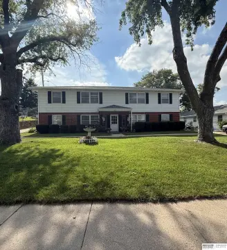
13434 Millard Ave Omaha, NE 68137-1635
Property profile & analytics
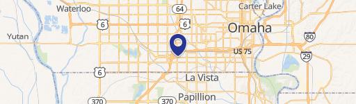
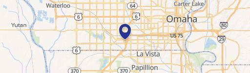
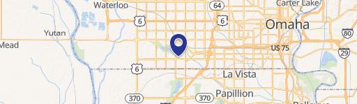
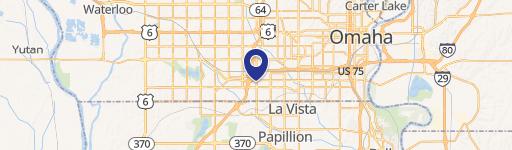
13434 Millard Ave, Omaha, NE 68137-1635
- Retail space
- 6,497 SF
- 0.29 lot acres
Property ID
US57-0120066
The Realmo ID is a unique identifier assigned to every property, incorporating country codes and precise geo-coordinates for 300x300-foot land blocks. It enables standardized data collection and seamless integration of disparate sources such as ownership, tax, title data and physical specifications. By aggregating current and historical records, the Realmo ID powers advanced analytics and delivers deep, verifiable insights for real estate professionals.
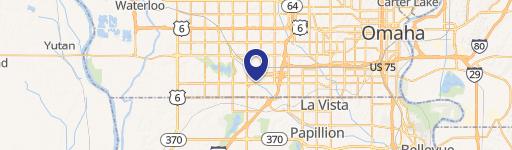
Location Intelligence
Current Use by Public Records
- Ayers Distributing & Plains Supply / Distribution Center / Logistics Company
Property Details for 13434 Millard Ave
- Year built
- 1930
- Lot size
- 0.29 lot acres
- Property type
- Retail space
- APN
- 116310012
- APU
- 116310012
Sales History
| Date | Price | Buyer | Seller | Deed Type | Mortgage |
|---|---|---|---|---|---|
| Mar 19, 2018 | — | Glenstone Center LLC | Sueco LLC | Grant Deed | — |
| Feb 6, 2018 | — | Sueco LLC | Glenstone Center LLC | Warranty Deed · related | — |
| Mar 9, 2016 | — | Glenstone Center LLC | Oddo Lisa A | Quit Claim Deed · related | — |
| Nov 13, 2015 | — | Lisa A Oddo | Oddo Anthony H | Quit Claim Deed · related | — |
Value Estimations
based on Realmo’s proprietary methodology
-
AI approach
-
CAP approach
-
Comparable approach
-
Alternative Use
Get a detailed, property-specific estimation — fast and free
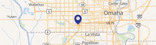
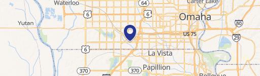
Location Insight
- Map
- Local Demand
- City
- Omaha
- County
- Douglas
- State
- Nebraska
- Longitude
- -96.1246
- Latitude
- 41.2099
- CBSA code
- 36540
- CBSA name
- OMAHA-COUNCIL BLUFFS, NE-IA METROPOLITAN STATISTICAL AREA
Property Tax & Assessments
Tax date
Tax Amount
Assessed Land Value
Assessed Improvement Value
Total Assessed Value
Applied Tax Rate
Land Market Value
Improvement Market Value
Total Market Value
2023
$9,375
$130,300
$340,600
$470,900
-
$130,300
$340,600
$470,900