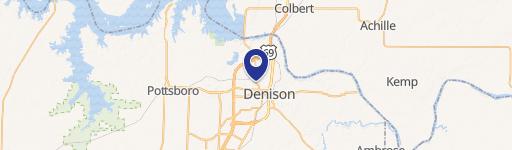
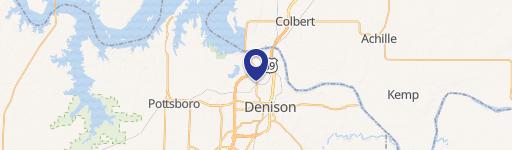
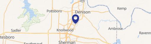
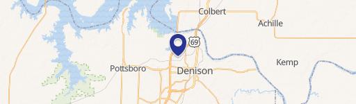
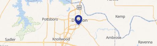
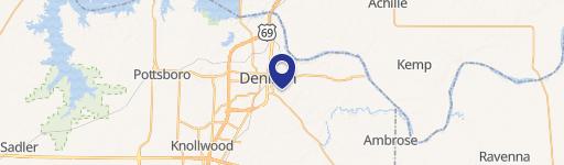
1215 Wayne Cabaniss Dr Denison, TX 75020-9076
Property profile & analytics
1215 Wayne Cabaniss Dr, Denison, TX 75020-9076
- Industrial properties
- 2,130 SF
- 8.46 lot acres
Property ID
US82-6511579
The Realmo ID is a unique identifier assigned to every property, incorporating country codes and precise geo-coordinates for 300x300-foot land blocks. It enables standardized data collection and seamless integration of disparate sources such as ownership, tax, title data and physical specifications. By aggregating current and historical records, the Realmo ID powers advanced analytics and delivers deep, verifiable insights for real estate professionals.
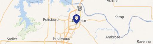
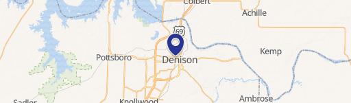
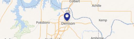
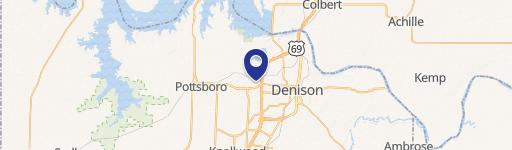
Location Intelligence
Current Use by Public Records
- Rolling Hills Ranch / Corporate Office
- FLORESTONE LLC. / Industrial Manufacturer / Production Facility
Property Details for 1215 Wayne Cabaniss Dr
- Year built
- 2004
- Lot size
- 8.46 lot acres
- Property type
- Industrial properties
- APN
- 046 7066003
- APU
- 467066003
Sales History
| Date | Price | Buyer | Seller | Deed Type | Mortgage |
|---|---|---|---|---|---|
| Aug 31, 2023 | — | Cation II LLC | Business & Industrial Corp Of Denis | Intrafamily Transfer · related | — |
| Jul 21, 2004 | — | Dev Alliance Denison | Owner,record | Grant Deed · related | — |
Value Estimations
based on Realmo’s proprietary methodology
-
AI approach
-
CAP approach
-
Comparable approach
-
Alternative Use
Get a detailed, property-specific estimation — fast and free
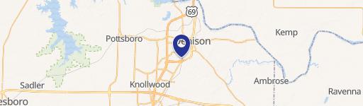
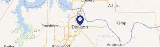
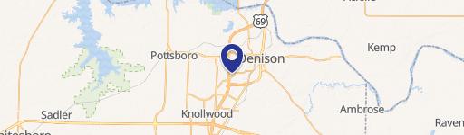
Location Insight
- Map
- Local Demand
- City
- Denison
- County
- Grayson
- State
- Texas
- Longitude
- -96.5497
- Latitude
- 33.7861
- CBSA code
- 43300
- CBSA name
- SHERMAN-DENISON, TX METROPOLITAN STATISTICAL AREA
Property Tax & Assessments
Tax date
Tax Amount
Assessed Land Value
Assessed Improvement Value
Total Assessed Value
Applied Tax Rate
Land Market Value
Improvement Market Value
Total Market Value
2022
$81,941
$135,662
$3,338,172
$3,473,834
-
$135,662
$3,338,172
$3,473,834