Current Use by Public Records
- Land
Property Details for 00818012 Unnamed Rd
- Lot size
- 79.92 lot acres
- Property type
- Land
- Property subtype
- Farms
Description
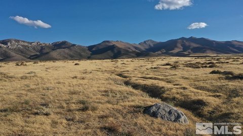
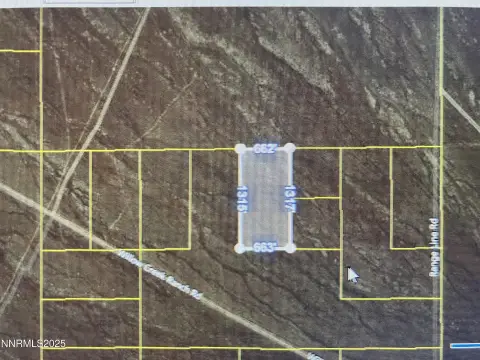
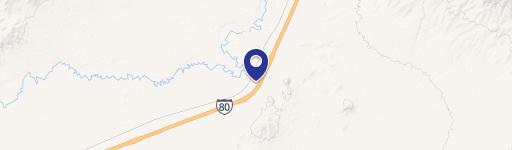
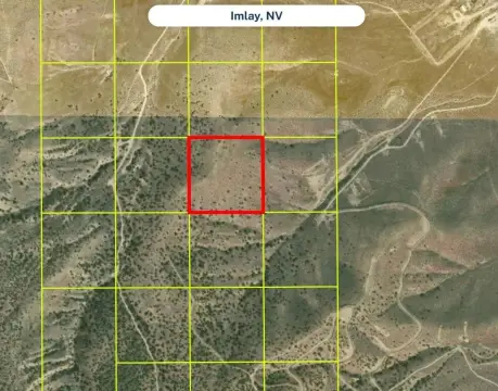
This 79.92-acre agricultural property (APN 008-180-12) in Imlay, Nevada, boasts stunning views of mountains, the Lower Pitt-Taylor and Rye Patch Reservoirs, and the surrounding desert. Zoned AMR (Agriculture, Mining, Recreation), it offers diverse development potential, including residential building. Located just 1.75 miles from Interstate 80, it provides convenient access to nearby employers like the Florida Canyon mine and the planned West Coast Salmon facility. While off-grid, propane delivery is available, and utilities can be established via private well and septic, with solar/wind power options or connection to existing lines approximately 4,500 feet away. The property is accessible via a lightly traveled dirt road. The property is sold as-is, where-is; buyers are responsible for conducting their own due diligence regarding development possibilities and utilities. GPS coordinates: 40.61691, -118.25473 (south portion). Property boundaries are marked with 10-foot PVC pipes. This unique parcel presents a compelling opportunity for those seeking a tranquil, expansive landscape with recreational and/or development potential. The location is approximately 20 minutes west of Winnemucca, 2 hours east of Reno, and 4 hours west of Salt Lake City.
Value Estimations
-
AI approach
-
CAP approach
-
Comparable approach
-
Alternative Use
Location Insight
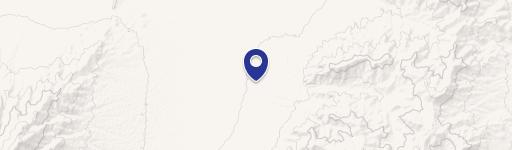
- Map
- Local Demand
- City
- Imlay
- County
- Pershing
- State
- Nevada
- Longitude
- -118.255
- Latitude
- 40.6169