Current Use by Public Records
- Land
Property Details for 2000 Humboldt House Rd
- Lot size
- 240.25 lot acres
- Property type
- Land
- Property subtype
- Industrial properties
Description
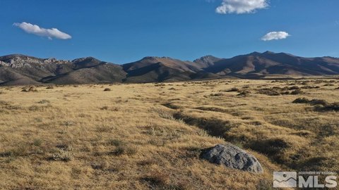
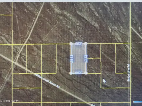
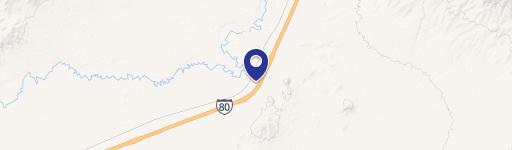
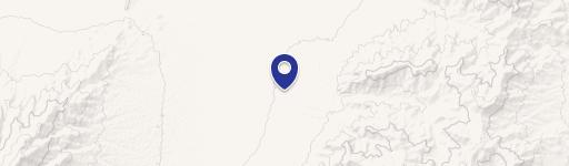
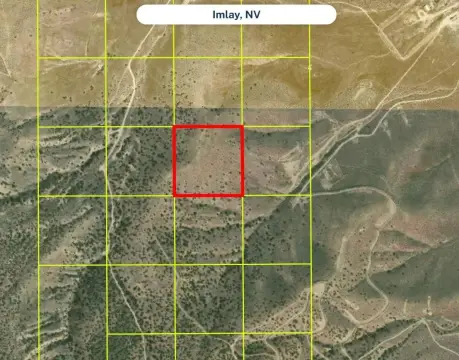
This expansive 240.25-acre parcel in Pershing County, Nevada (APN 008-170-15), presents a unique investment opportunity. Situated adjacent to the Union Pacific Railroad and boasting excellent visibility from Interstate 80, this property is ideally suited for a variety of commercial, industrial, or resource-based developments. The AMR zoning allows for agricultural, mining, recreational, and even residential uses, offering considerable flexibility for future plans. A historical report suggests the presence of a potential geothermal resource. The property is conveniently located near the Humboldt House and Imlay interchanges of I-80, approximately 20 minutes west of Winnemucca, two hours east of Reno, and four hours west of Salt Lake City. While off-grid, the property is near existing utilities; electricity can be sourced via solar/wind power or by connecting to lines approximately 1.5 miles away. Water is typically obtained via private well, and sewage disposal is handled through a private septic system. A natural gas pipeline traverses the property, and propane delivery is readily available. The property is sold as-is, where-is; buyers are responsible for conducting their own due diligence regarding development possibilities and utility connections. Access is via a lightly traveled dirt road, and the property's corners are marked with 10-foot tall PVC pipes. The unofficial address is 2000 E Humboldt House Rd, Imlay, NV 89418. GPS coordinates: 40.619133, -118.237148 (southwest corner). BLM land borders the property to the north.
Value Estimations
-
AI approach
-
CAP approach
-
Comparable approach
-
Alternative Use
Location Insight
- Map
- Local Demand
- City
- Imlay
- County
- Pershing
- State
- Nevada
- Longitude
- -118.237
- Latitude
- 40.6191