Current Use by Public Records
- Land
Property Details for 00827021 Star Peak Rd
- Lot size
- 40.06 lot acres
- Property type
- Land
- Property subtype
- Farms
Description
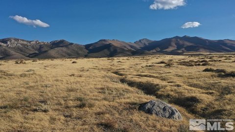
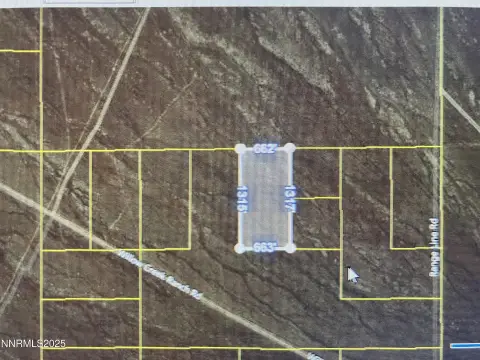
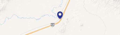
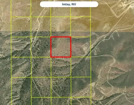
This 40.06-acre parcel in Pershing County, Nevada, presents a unique opportunity for those seeking a rural retreat or development project. Located less than two miles from Interstate 80, near the Imlay exit (exit 145), this property offers convenient access while maintaining a secluded feel. The AMR zoning (Agriculture, Mining, Recreation) allows for a variety of uses, including residential construction. While currently off-grid, the property is easily accessible via a recently resurfaced county road, East Star Peak Road, and includes a deeded driveway easement. Nearby amenities include a full-service restaurant, market, hardware store, RV park, and truck stop at the intersection of NV Route 400 and I-80. Utilities such as solar power, well water, septic systems, and propane are the typical options for this location and are the buyer's responsibility. Property corners are marked with 10-foot PVC pipes. The property is sold as-is, where-is; buyers are responsible for conducting their own due diligence regarding development possibilities and utility connections. The Pershing County APN is 008-270-21. GPS coordinates are approximately 40.65420, -118.11535.
Value Estimations
-
AI approach
-
CAP approach
-
Comparable approach
-
Alternative Use
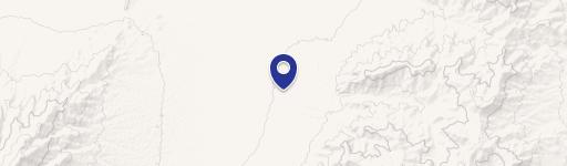
Location Insight
- Map
- Local Demand
- City
- Imlay
- County
- Pershing
- State
- Nevada
- Longitude
- -118.115
- Latitude
- 40.6542