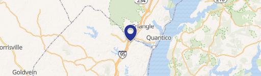
0 Parcel 29-93F Stafford, VA 22554
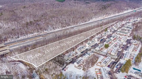
This exceptional 3.108-acre parcel of vacant land, identified as Parcel 29-93F, is strategically located in Stafford County, Virginia, zip code 22554, at the new courthouse road interchange. Its prime location offers significant development opportunities. The property's size allows for flexibility in development plans, including the possibility of subdivision. This presents a unique chance to create a multi-tenant retail development or explore a ground lease arrangement. The land is classified as Vacant Land, Other. The property's coordinates are 38.4466631 latitude and -77.355413 longitude. Given its advantageous location and considerable acreage, this property represents a compelling investment opportunity for developers seeking a high-visibility site with excellent access. The property is ready for immediate development and offers significant potential for future growth and return on investment. Serious inquiries are encouraged to explore the possibilities of this exceptional land parcel. Further details regarding zoning and development regulations are readily available through the Stafford County government. This is a rare opportunity to acquire a substantial land parcel in a rapidly developing area of Stafford County.
Cap rate
Implied · in-place · derived from last sale + estimated NOIValue
AI, CAP & Alternative Use estimations · Realmo proprietary blendComparables
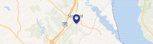
6 recent transactions · within 1.5 miComparable in this City

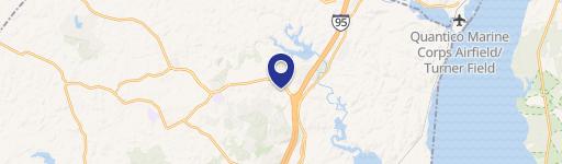

Similar Nearby for Sale


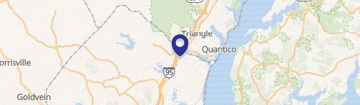
Similar Nearby for Lease


Property description
Physical attributes from public recordsZoning & alternative use
No recorded transactions found for this property.
Costs & Benchmarks
Operating expenses, capex projections, utility benchmarks, and submarket comparables — all in one view.
Risks
Flood, climate, environmental, title, and tenant-concentration risk — surfaced with mitigations and source citations.


