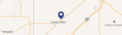
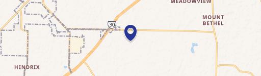
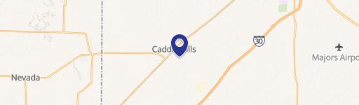
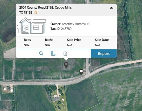
I-30 & Crk 2630 Caddo Mills, TX 75135
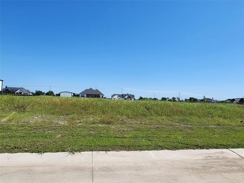
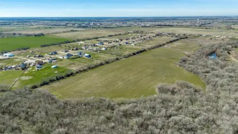
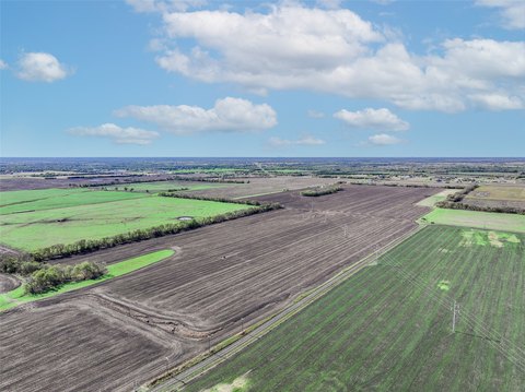
This exceptional 132-acre commercial land parcel boasts 3,400 feet of I-30 frontage in Caddo Mills, Texas, strategically positioned between FM 1565 and FM 36. Located in Hunt County (zip code 75135), this property offers unparalleled access to a major logistics corridor with a daily traffic count exceeding 58,000 vehicles, 25% of which are commercial. The site's permitted zoning is ETJ, with future land use designated as Industrial, allowing for versatile development options, including commercial and residential components. Significant infrastructure improvements, including I-30 expansion, are underway, promising increased connectivity and traffic capacity. Projected growth in freight traffic along this 366-mile corridor (Fort Worth to Texarkana) anticipates a doubling by 2040, making this a prime investment for businesses seeking to capitalize on the burgeoning logistics and industrial sector. The property features readily available utilities, including three-phase electric along the I-30 frontage, 6-inch water lines on the north side of I-30, 8-inch water lines along FM 36 (north and south of I-30), 12-inch water lines along FM 1565, and 4-inch water lines along FM 2630. In addition to the extensive I-30 frontage, the property also includes approximately 2,300 feet of frontage along FM 2630. This location offers a unique opportunity for high-volume, efficient supply chain operations and aligns perfectly with long-term economic expansion trends in the region.
Cap rate
Implied · in-place · derived from last sale + estimated NOIValue
AI, CAP & Alternative Use estimations · Realmo proprietary blendComparables
6 recent transactions · within 1.5 miComparable in this City


Similar Nearby for Sale


Similar Nearby for Lease


Property description
Physical attributes from public recordsZoning & alternative use
No recorded transactions found for this property.
Costs & Benchmarks
Operating expenses, capex projections, utility benchmarks, and submarket comparables — all in one view.
Risks
Flood, climate, environmental, title, and tenant-concentration risk — surfaced with mitigations and source citations.


