Current Use by Public Records
- Land
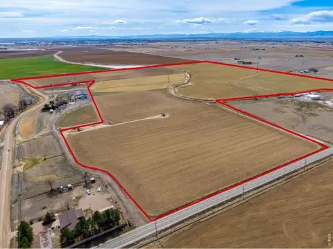
Property Details for 0 Nec Sh-52 & Rollie Ave
- Lot size
- 1.64 lot acres
- Property type
- Land
Description
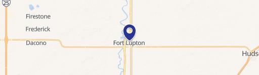
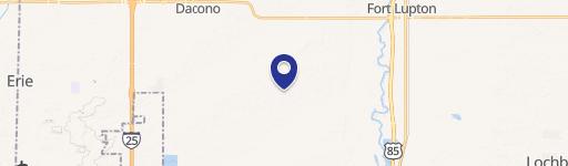
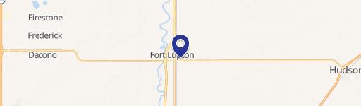
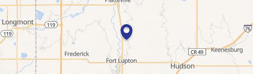
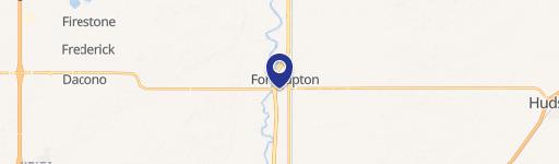
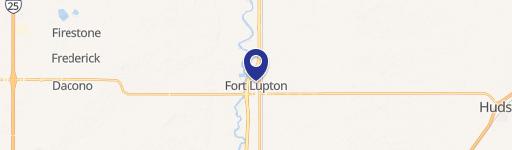
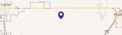
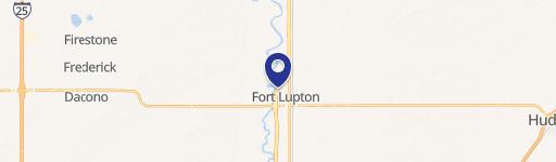
This exceptional 1.637-acre commercial lot is located at the Northeast corner of SH-52 and Rollie Ave, Lot 9, in Fort Lupton, Colorado (zip code 80621). Priced at $749,049, this property offers a land value of $10.50 per square foot. The lot is zoned for commercial use and is ready for immediate development. Situated in Weld County, this location benefits from its proximity to the Coyote Creek Golf Course and enjoys easy access to major transportation arteries. Specifically, it's conveniently located at the intersection of US 85 and SH 52, providing effortless access to the entire Front Range, significant commercial centers, and Denver International Airport. SH 52, a major east-west arterial, connects this location to Boulder and I-76, further enhancing its accessibility. Fort Lupton itself acts as a sub-regional hub, with SH-52 providing access to several nearby communities. This property is part of a larger development with low development fees and reasonable cash-in-lieu of water fees. Furthermore, the location is within a Colorado Enterprise Zone, potentially offering income tax credits to eligible businesses. This presents a unique opportunity for developers seeking a prime location with excellent infrastructure and access to a growing market.
Value Estimations
-
AI approach
-
CAP approach
-
Comparable approach
-
Alternative Use
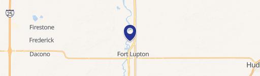
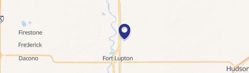
Location Insight
- Map
- Local Demand
- City
- Fort Lupton
- County
- Weld
- State
- Colorado
- Longitude
- -104.805
- Latitude
- 40.0802