Current Use by Public Records
- Land
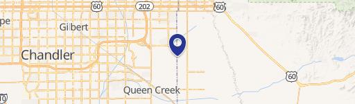
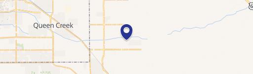
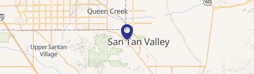
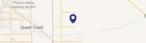
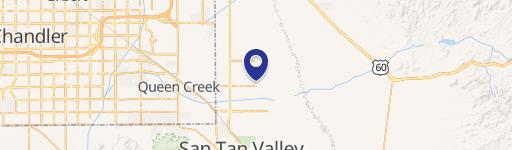
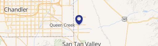
Property Details for SWC Signal Butte Rd & Germann Rd
- Lot size
- 8.00 lot acres
- Property type
- Land
Description
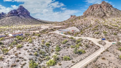
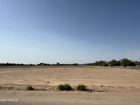
This exceptional 8-acre commercial land parcel presents a unique investment opportunity in the rapidly expanding Queen Creek, Arizona market. Strategically located at the southwest corner of Signal Butte Road and Germann Road, this property benefits from exceptional visibility and accessibility. Signal Butte Road's recent intersection with State Route 24 provides direct access to Loop 202 and US 60, ensuring seamless connectivity throughout the region. The site is nestled within the established Fulton Homes – Barney Farms Master Planned Community, a thriving residential area boasting over 1,700 homes, guaranteeing a substantial existing customer base. Furthermore, its proximity to Bell Bank Park, a privately owned 320-acre multi-use sports and entertainment complex, adds significant value and potential for synergistic development. Queen Creek's remarkable population growth—a staggering 2,084% increase since 2000—underscores the area's robust economic vitality and future potential. The property's location near the Phoenix-Mesa Gateway Airport, with its planned expansion including a new terminal and mixed-use development of approximately 400 acres of retail, office, and other commercial spaces, further enhances its long-term investment prospects. This prime location offers unparalleled potential for a wide range of commercial ventures, capitalizing on the area's explosive growth and strategic infrastructure improvements. The property's size and location make it ideal for various commercial developments, offering significant returns for discerning investors.
Value Estimations
-
AI approach
-
CAP approach
-
Comparable approach
-
Alternative Use
Location Insight
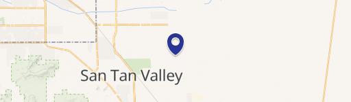
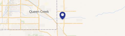
- Map
- Local Demand
- City
- Queen Creek
- County
- Pinal
- State
- Arizona
- Longitude
- -111.535
- Latitude
- 33.2544