
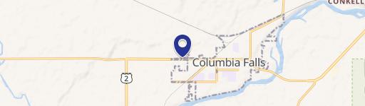
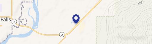
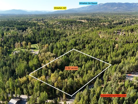
0 Fork Rd, Columbia Falls, MT 59912
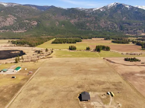
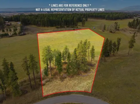
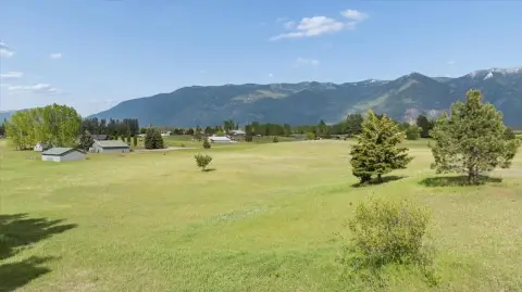
This exceptional 89.24-acre commercial land parcel presents a rare investment opportunity in Columbia Falls, Montana. Located on NHN North Fork Road, zip code 59912, the property boasts stunning panoramic views of Bad Rock Canyon and the Swan and Whitefish Mountain Ranges. Its strategic location offers unparalleled access to major transportation arteries, sitting adjacent to both BNSF and Amtrak rail lines, ensuring seamless logistics for any industrial operation. The property is zoned for dual industrial uses, providing exceptional flexibility for a wide range of businesses. CI-1 Light Industrial zoning permits uses such as automobile/boat sales, building supply outlets, heavy equipment storage, nurseries, research facilities, parcel delivery services, and parks. CI-2 Heavy Industrial zoning allows for manufacturing, fabrication, contracting operations, petroleum storage, and railroad-related businesses. The asking price for this expansive and versatile property is $2,500,000. This unique combination of scenic beauty, strategic location, and flexible zoning makes this an ideal site for businesses seeking a blend of operational efficiency and inspiring surroundings. The property's size and zoning provide limitless potential for development and growth, making it a truly exceptional investment opportunity in a rapidly developing area near Glacier National Park. Contact us today to learn more about this remarkable property.
Cap rate
Implied · in-place · derived from last sale + estimated NOIValue
AI, CAP & Alternative Use estimations · Realmo proprietary blendComparables
6 recent transactions · within 1.5 miComparable in this City

Similar Nearby for Sale


Similar Nearby for Lease


Property description
Physical attributes from public recordsZoning & alternative use
No recorded transactions found for this property.
Costs & Benchmarks
Operating expenses, capex projections, utility benchmarks, and submarket comparables — all in one view.
Risks
Flood, climate, environmental, title, and tenant-concentration risk — surfaced with mitigations and source citations.


