Agricultural Farmland with
For Sale
$589,000
Rowland Drive Tract G, Port Charlotte, FL 33980
Land, Port Charlotte, FL
Property SizeContact for details
Lot Size10.07 Acres
Days on Market437
Property Features for Rowland Drive Tract G
General Information
Property type
Land
Property subtype
Other
High school district
000000
Directions
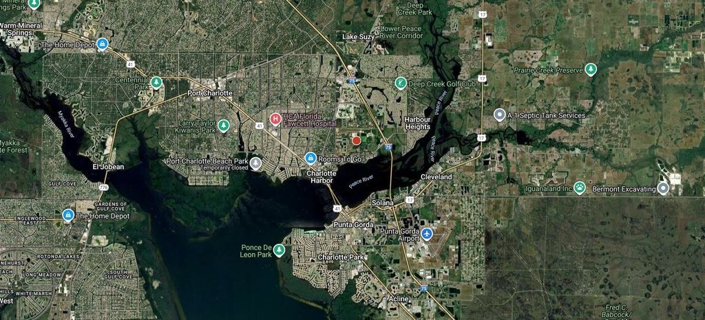
From I-75 Exit 167 proceed SW on Harborview Rd. for 1.6+- miles; turn right onto Rowland; follow Rowland to end; turn left, gate is a few yards ahead. From U.S. 41 turn NE onto Harborview Rd.; drive 1.75+- miles to Rowland; turn left onto Rowland
Standard status
Active
APN
402319426001
Lot size
10.07 Acres
Listing Agency:
National Land Realty, Tampa, FL
(855) 384-5263
Listed By:
Justus Koester · License #BK3458696
(239) 898-0163
Added: Aug 1, 2025
Changed: Aug 20
Last Checked: Oct 11 at 5:06PM
MLS# 11554395
Copyright © 2026 My State MLS. All rights reserved. All information provided by the listing agent/broker is deemed reliable but is not guaranteed and should be independently verified.
Investment Insights
Based on property information with market context.
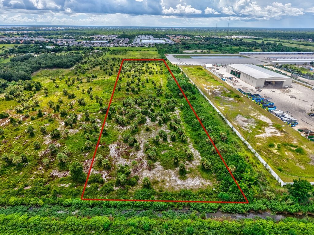
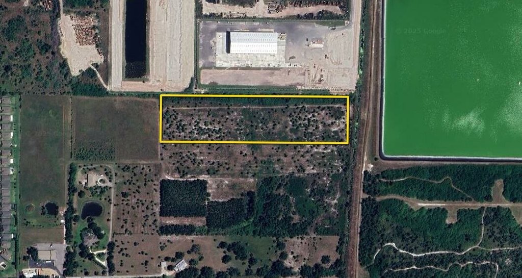
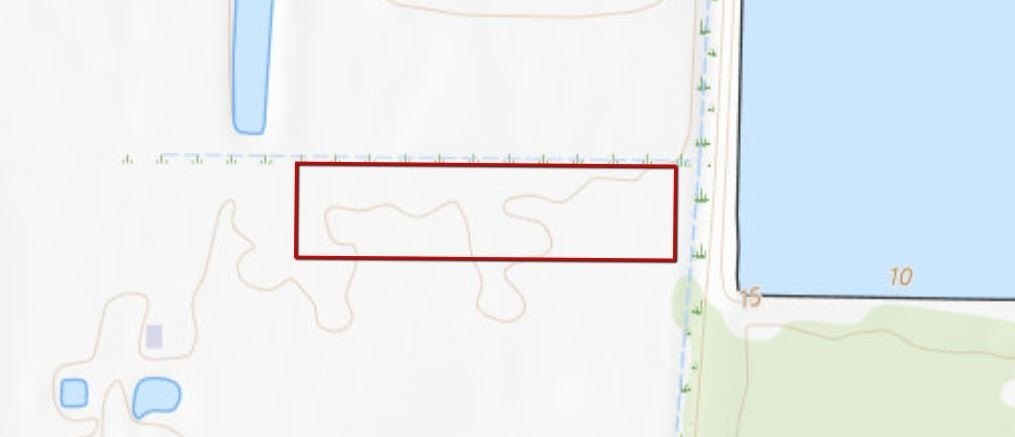
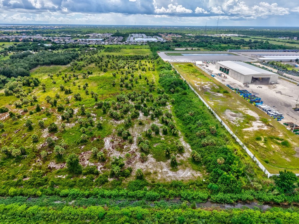
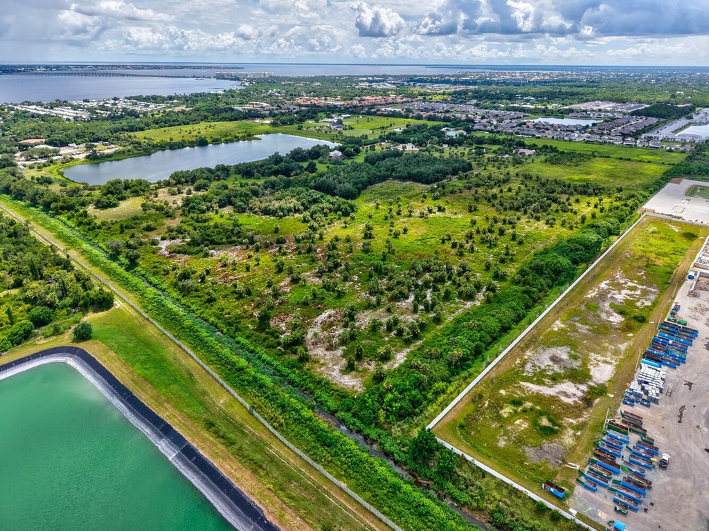
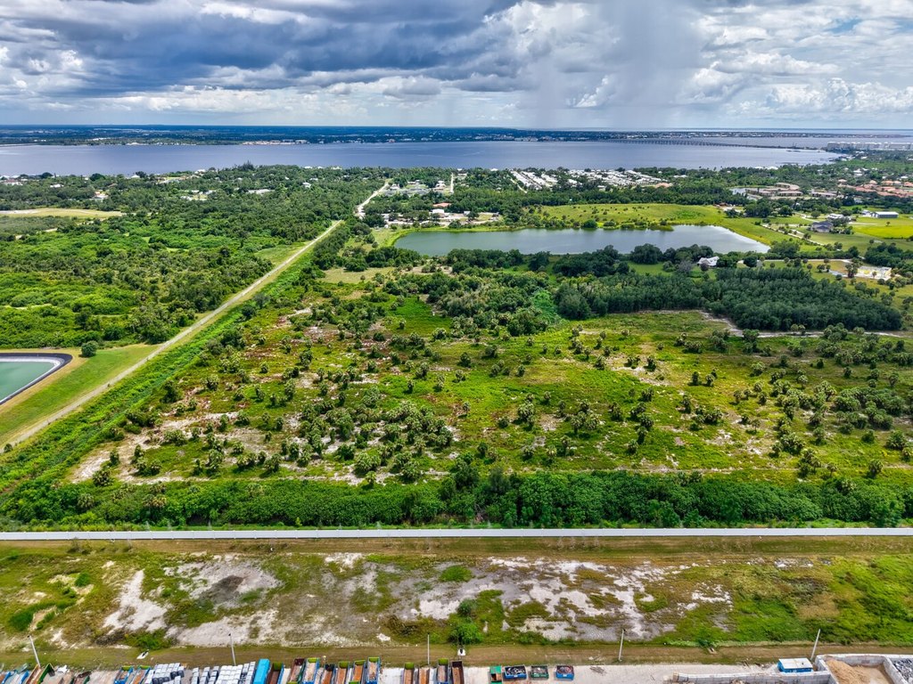
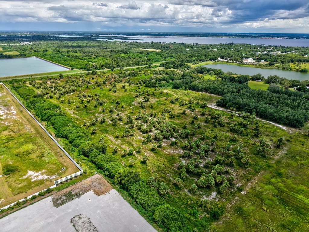
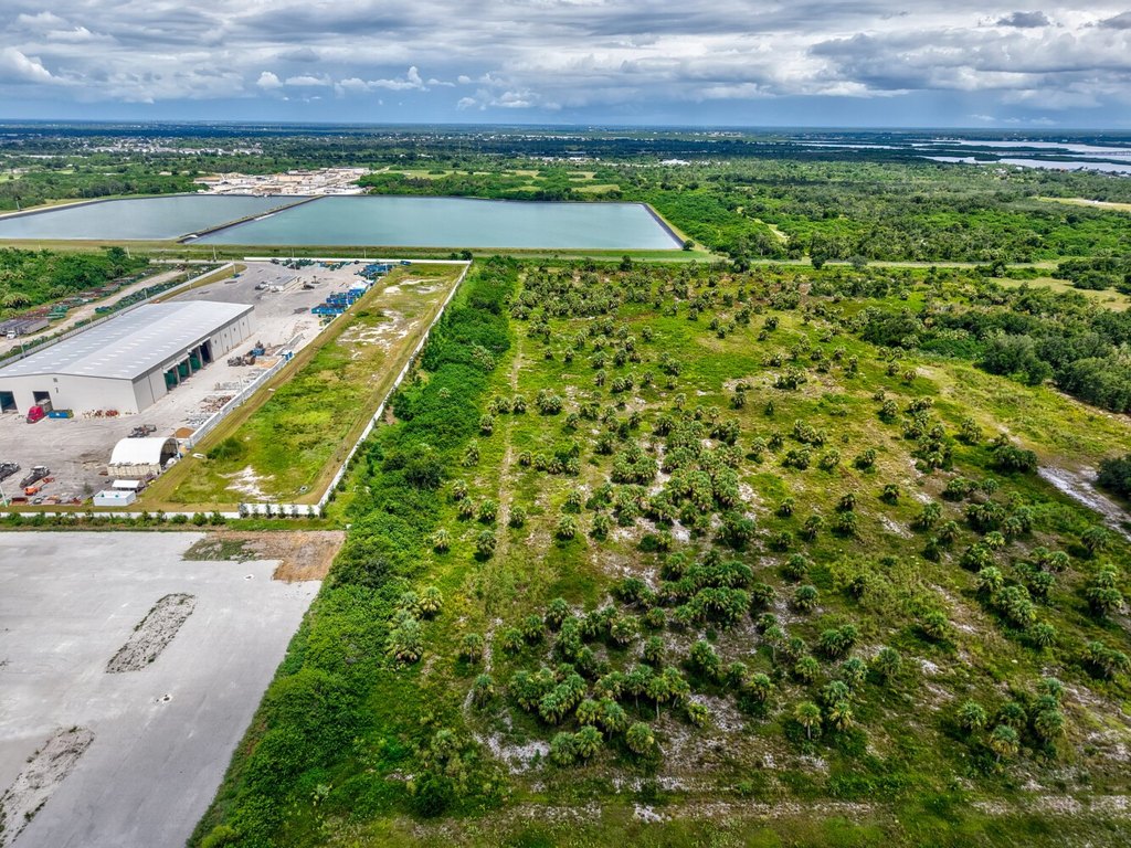
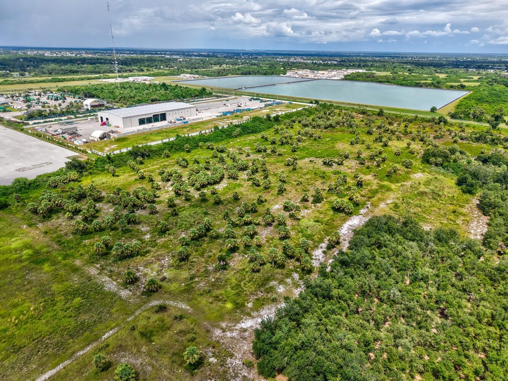
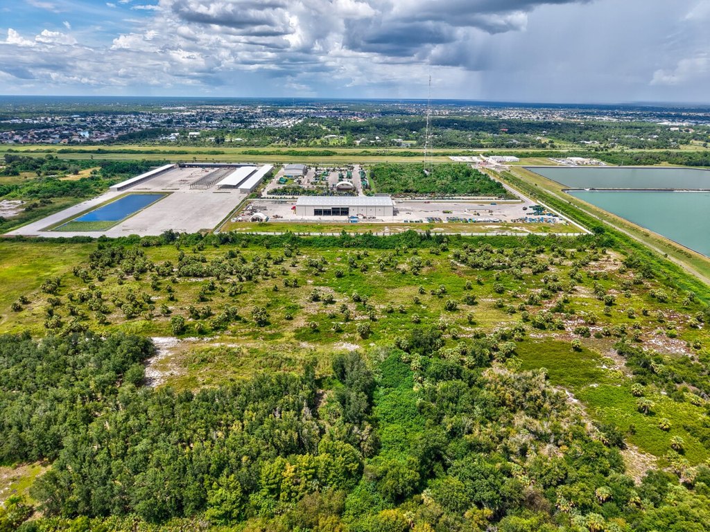
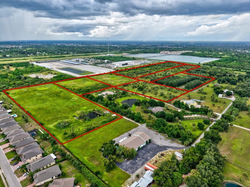
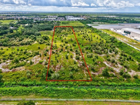
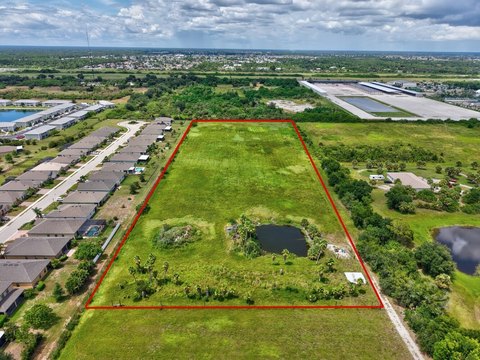
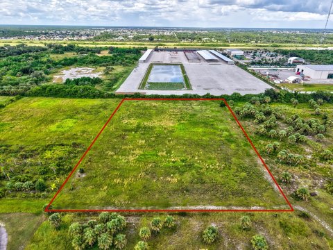
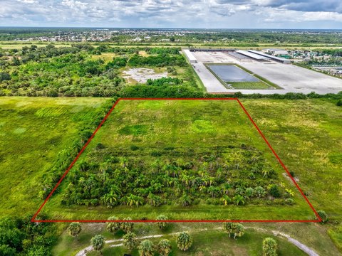
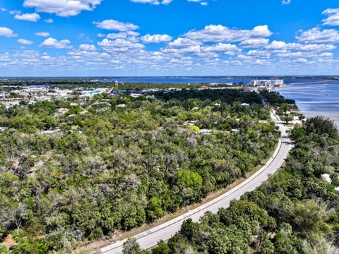
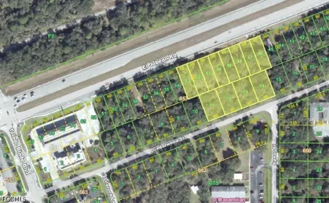
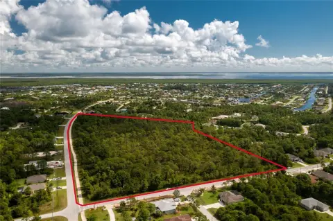
This 10.07-acre agricultural tract is identified as Rowland Drive Tract G and measures approximately 332.5 by 1320 feet. The property retains grandfathered AE zoning while currently carrying RE-1 zoning. Existing irrigation and sandy-loam soil support agricultural applications, including crops, pasture, nursery operations, and livestock-related uses stated for the property.
The tract is in Port Charlotte, with access to I-75 and US-41 described as being minutes away. The land is also represented as having no wetlands or stormwater set-asides, with the full acreage usable. The property was formerly operated as a tree farm and is one of seven parcels that may be purchased together for a combined total of up to 45 acres.
The tract is in Port Charlotte, with access to I-75 and US-41 described as being minutes away. The land is also represented as having no wetlands or stormwater set-asides, with the full acreage usable. The property was formerly operated as a tree farm and is one of seven parcels that may be purchased together for a combined total of up to 45 acres.
Key Highlights
- 10.07‑acre agricultural tract in Port Charlotte
- Approximately 332.5 x 1320 feet
- Currently zoned RE‑1 with grandfathered AE zoning
Property Analytics
Unlock full access to Insights
Subscribe to Realmo Intelligence
Open Analytics
Current Use
Lease Details
Yes
Highway access
Location Intelligence
Trade Area within ½ mile
39
Businesses Nearby
Explore this area
Business Placement
Demographics for 33980, FL
11,762
Population
8,108
Households
1.5
Avg Household Size
63
Median Age
21%
College-Educated
92%
High-School Grad
9.2 sq mi
ZIP Area
1,278
Density / Sq Mi
$61,871
Median Household Income
$33,365
Median Earnings
$1,216
Median Rent
$221,200
Median Home Value
Check the figures for this property
Cap Rate, Value Estimation, Potential NOI and more
View Realmo Analytics

Questions? Ask Rey
Realmo’s AI knows this listing — price, zoning, demand, history. Ask anything.



Frequently Asked Questions
What type of property is this?
Agricultural land / Farmland - Agricultural tract with irrigation and access to major Southwest Florida routes.
Where is this agricultural land / farmland located?
The property is located at Rowland Drive Tract G Port Charlotte, FL.
What is the asking price?
The asking price for this property is $589,000.
What are key features of this property?
This property features: 10.07‑acre agricultural tract in Port Charlotte; Approximately 332.5 x 1320 feet; Currently zoned RE‑1 with grandfathered AE zoning


