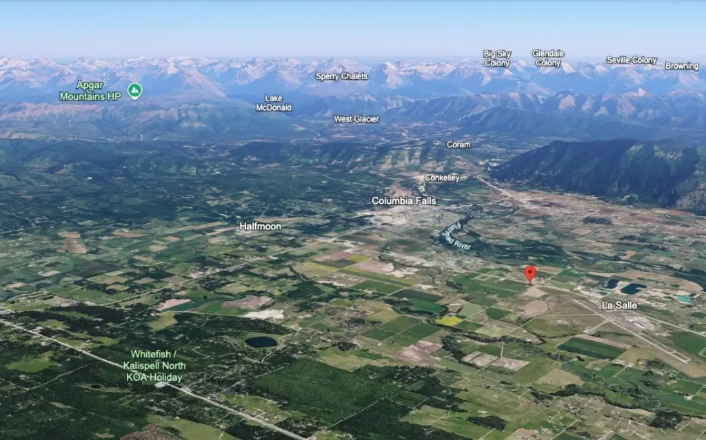
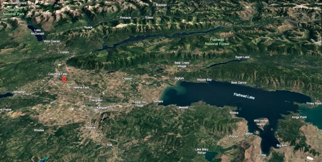
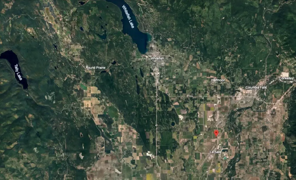
NHN US Hwy 2 E, Columbia Falls, MT 59912
COMMERCIAL - Columbia Falls, MT
- Added:
- Jul 12, 2025
- Days on Market:
- 338
- Last Refresh:
- Jun 14 at 1:06 am
Property Features for NHN US Hwy 2 E
General Information
- Property type
- Commercial Sale
- Property subtype
- Other
- Exterior features
- PropaneTankOwned
- Standard status
- Active
- APN
- 07418526401090000
- Size
- 4,789 SF
- Lot size
- 48.35 Acres
Taxes and HOA fees
- Tax Year
- 2024
- Tax Description
- S26, T30 N, R21 W, C.O.S. 14610-2&3, ACRES 47.55, TR 4 IN SE4SE4, TR 3B IN E2SE4 / S26, T30 N, R21 W, TR 4B IN SE4SE4 2nd Assr#: 0000484150
- Tax Annual Amount
- 8479
Utilities
- Utilities
- Propane
- Sewer type
- Private Sewer, Septic Tank
- Water source
- Well

Listing agent Eric Perlstein License #RRE-BRO-LIC-18848 (406) 871-4014
Listing office Keller Williams Realty Northwest Montana 162 Timberwolf Pkwy, Kalispell, MT (406) 752-4700
Listing date Jul 12, 2025
Copyright © 2026 Montana Regional MLS. All rights reserved. All information provided by the listing agent/broker is deemed reliable but is not guaranteed and should be independently verified.
HighLights
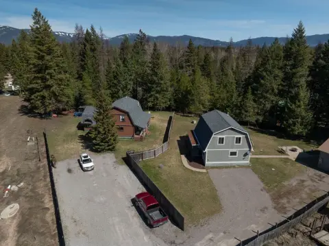
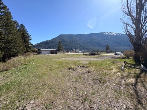
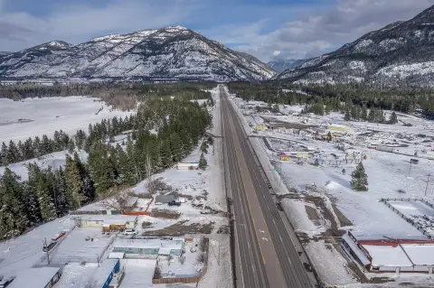
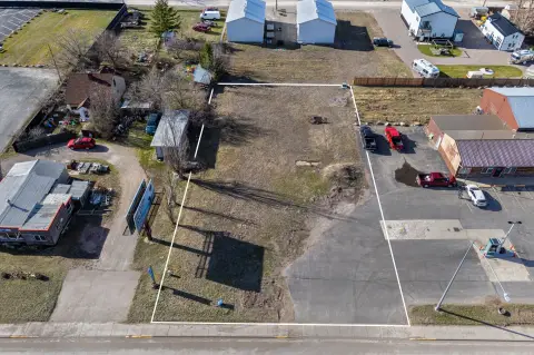
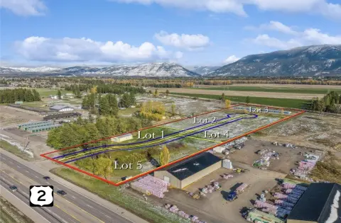
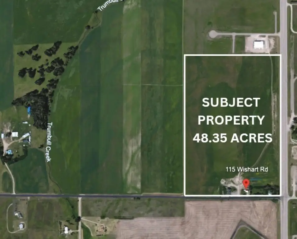
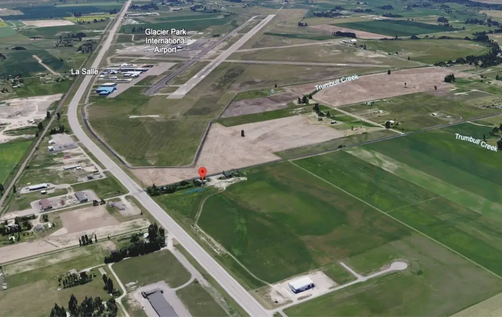
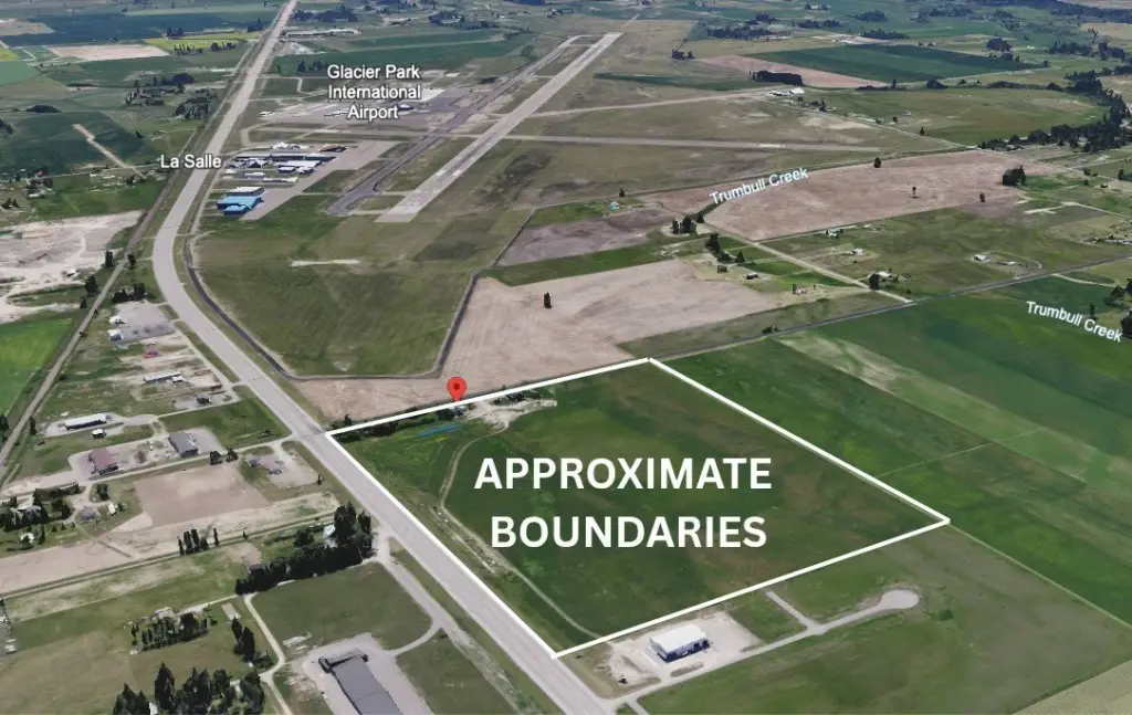
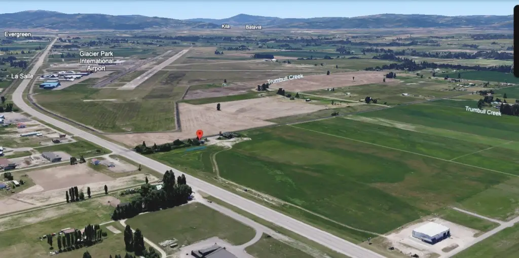
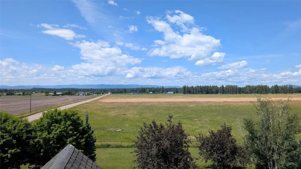
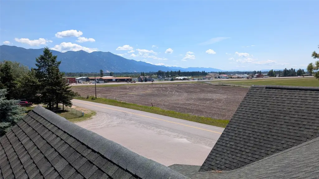
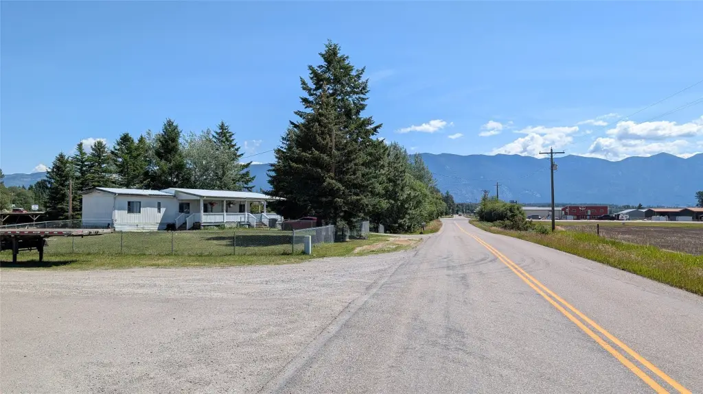
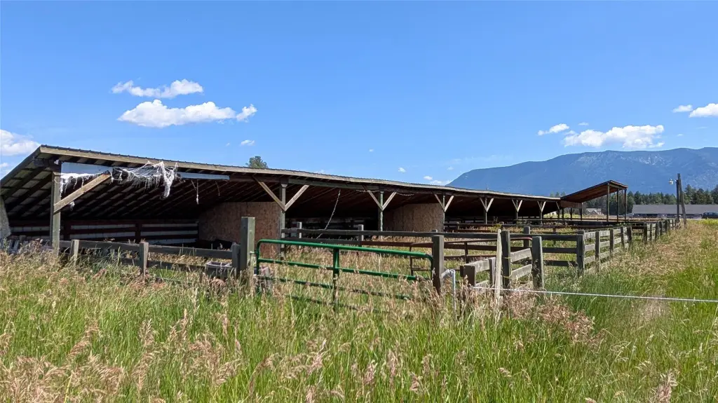
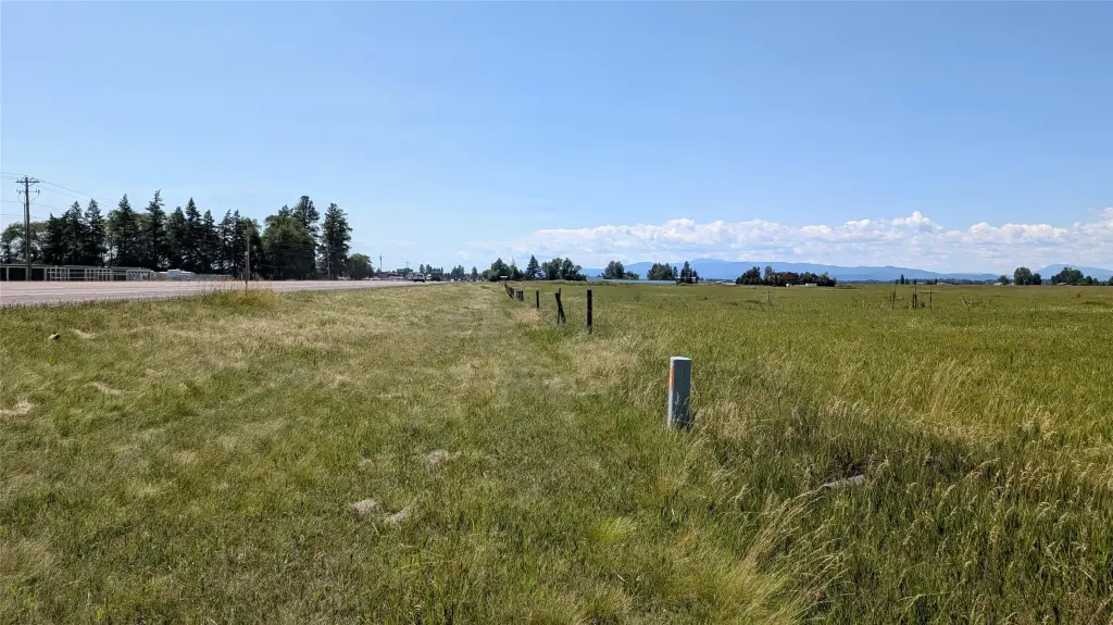
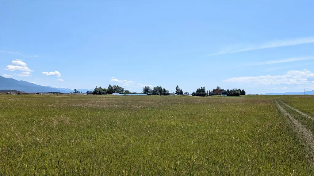
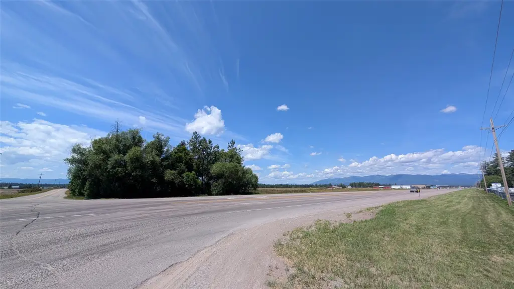
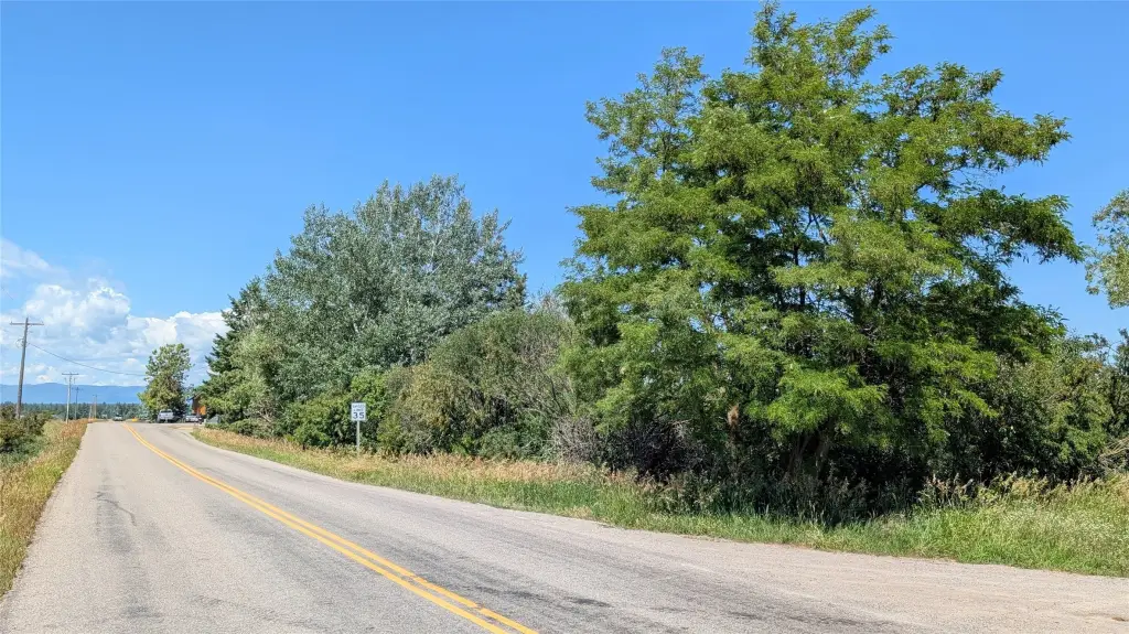
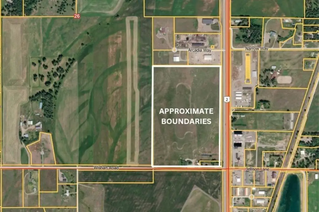
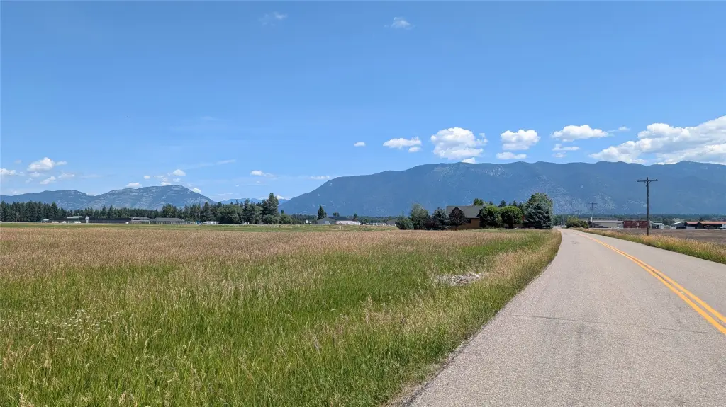
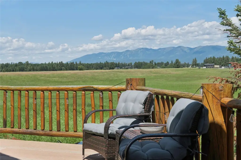
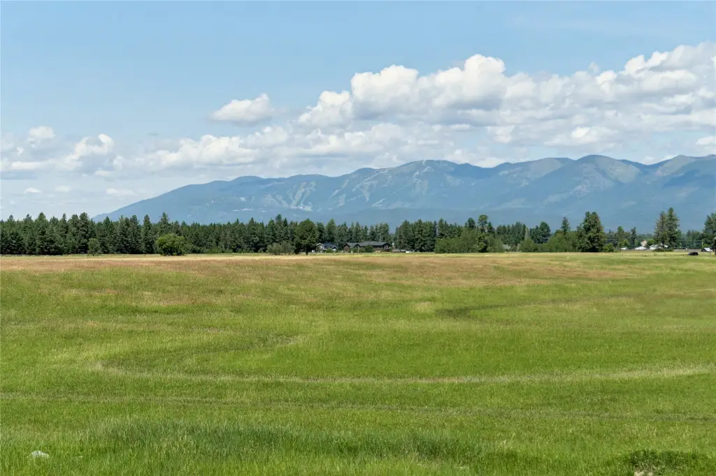
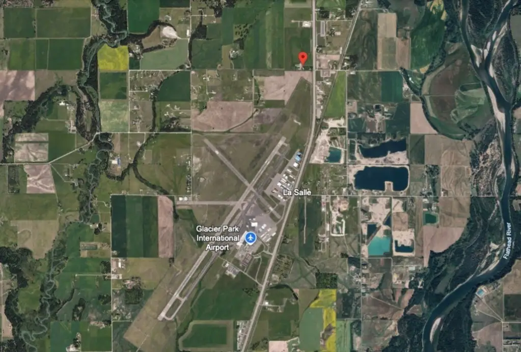
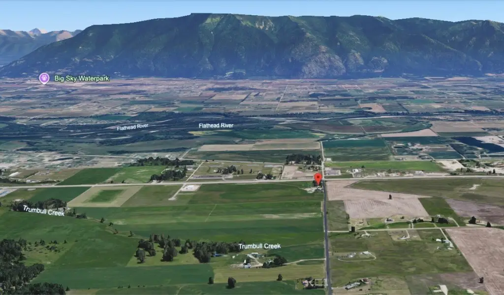
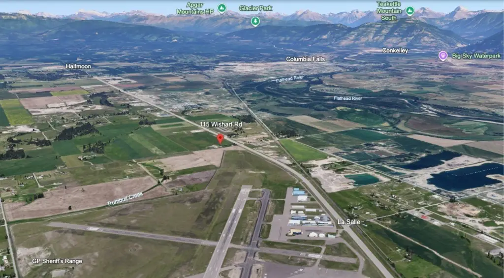
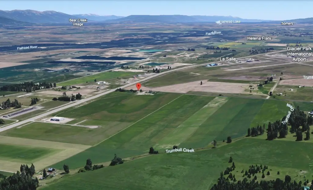
- 48 level acres of commercial land with 1,700+ feet of Highway 2 frontage just north of Glacier Park International Airport
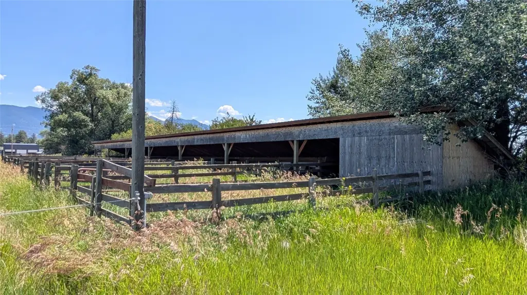
- Scenic Corridor zoning allows a range of commercial uses, including lodging, retail, hospitality, event venues, RV parks, and recreation‑based businesses
- Utilities in place: propane service with 2 owned propane tanks (500/1000 gallon) and water from a shared well
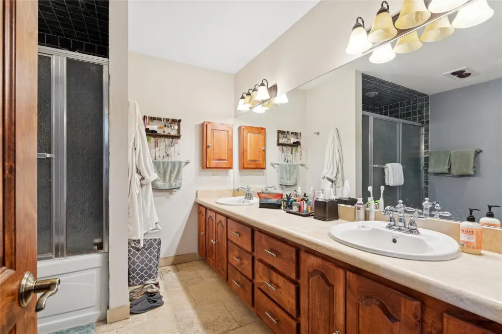
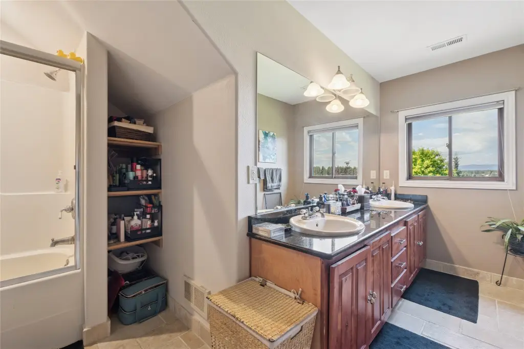
- Septic infrastructure on‑site with two septic tanks servicing each home
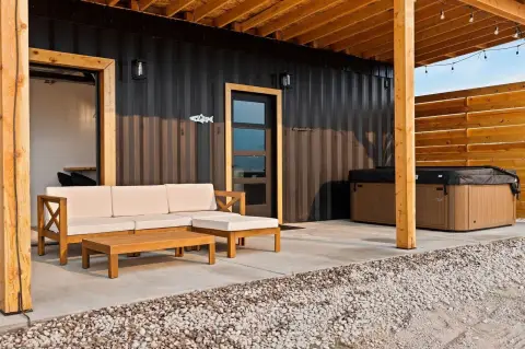
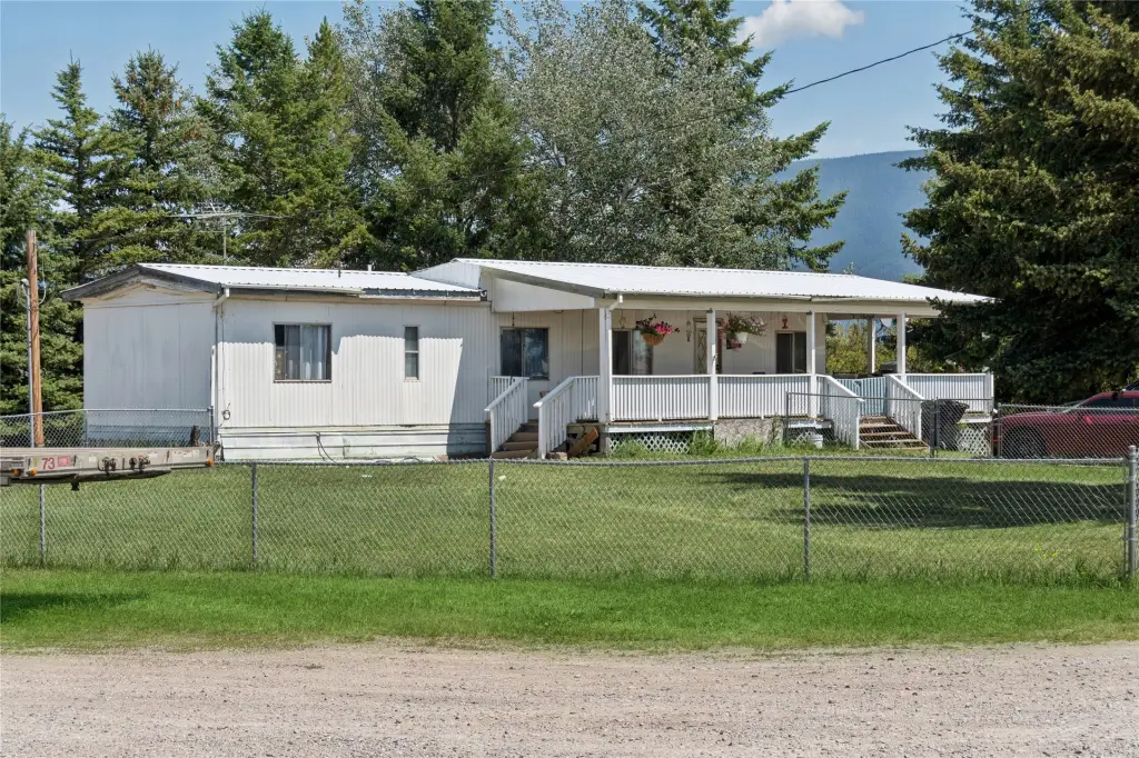
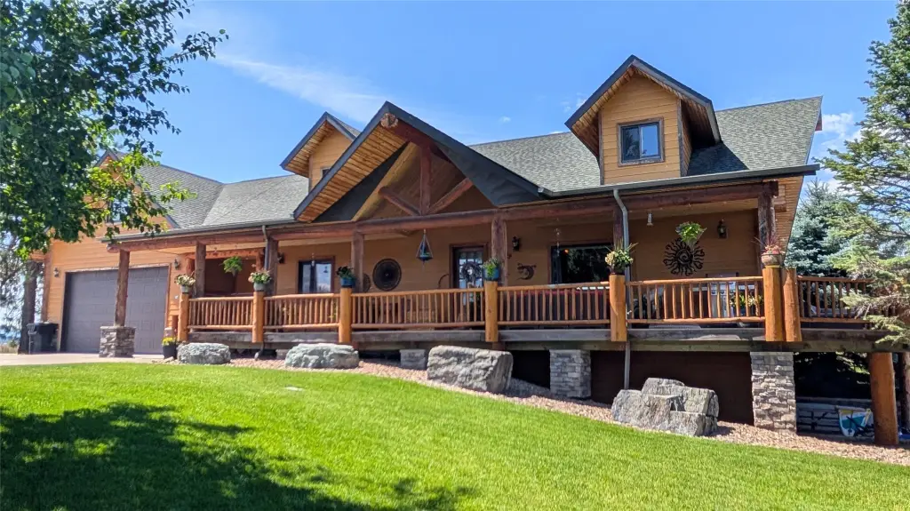
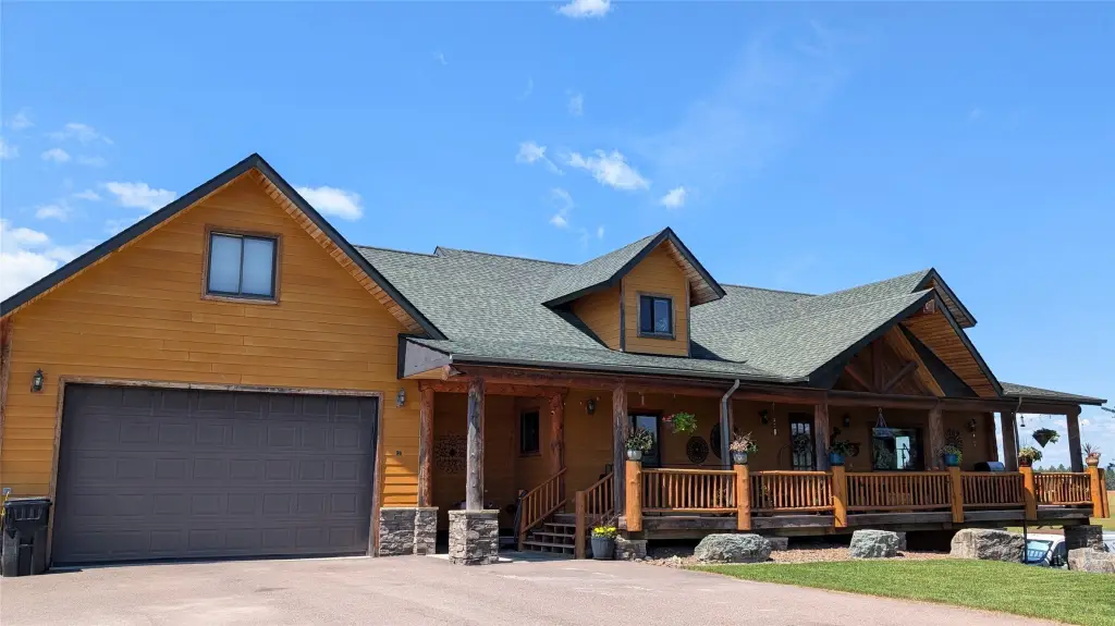
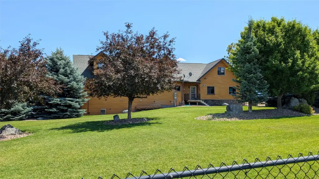
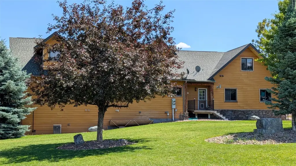
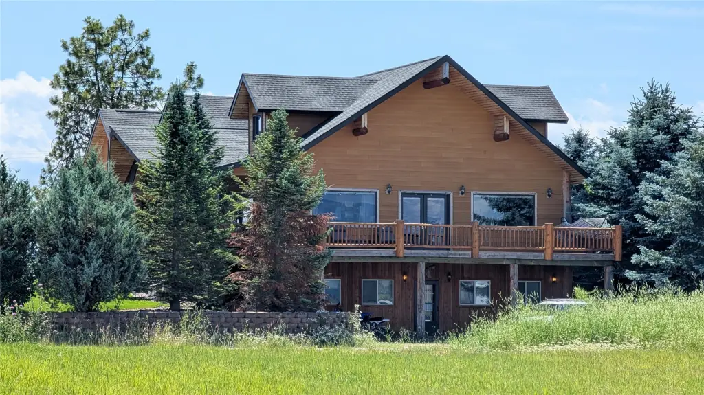
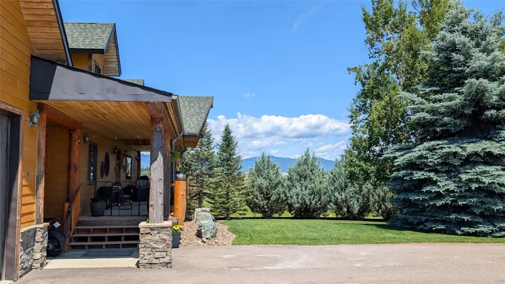
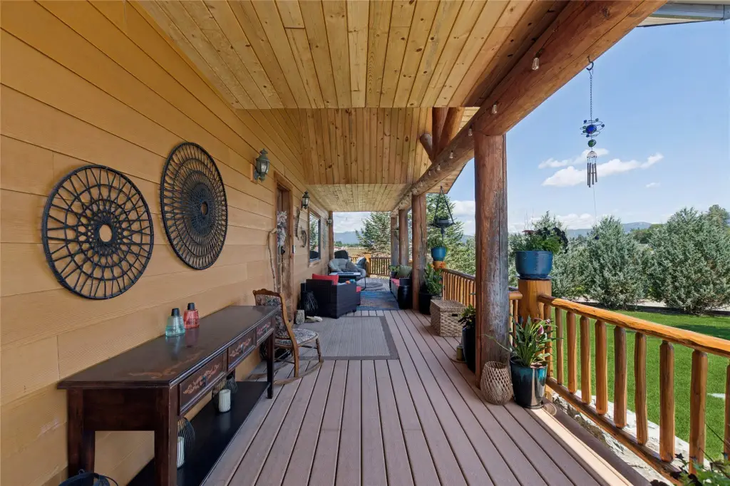
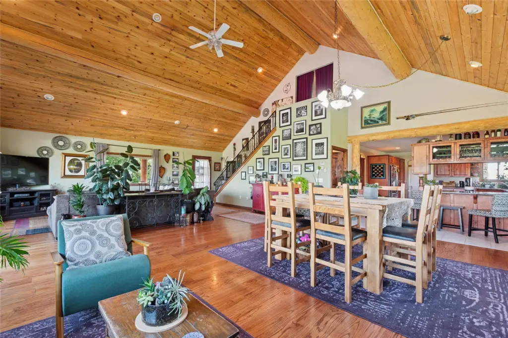
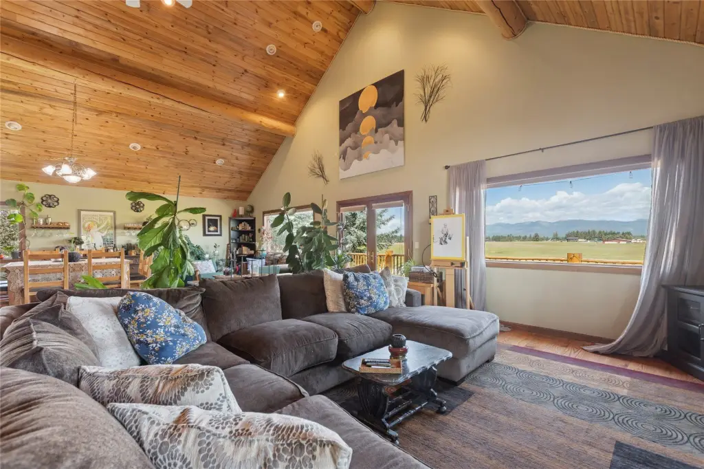
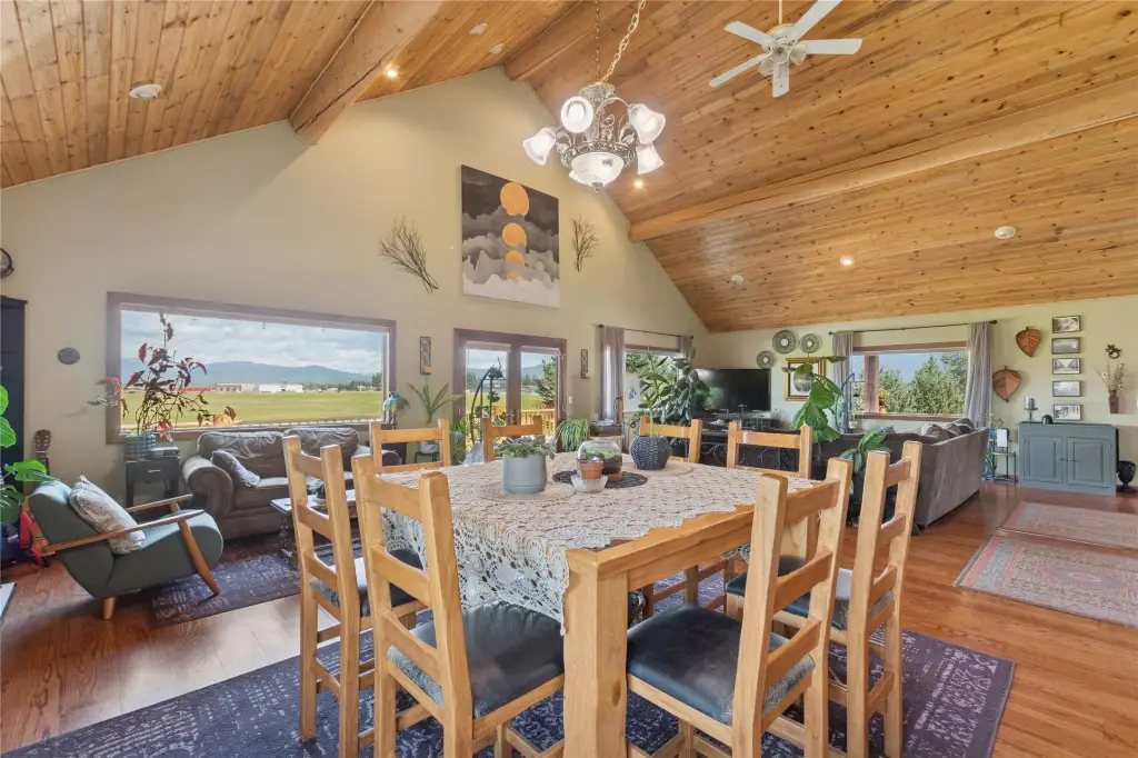
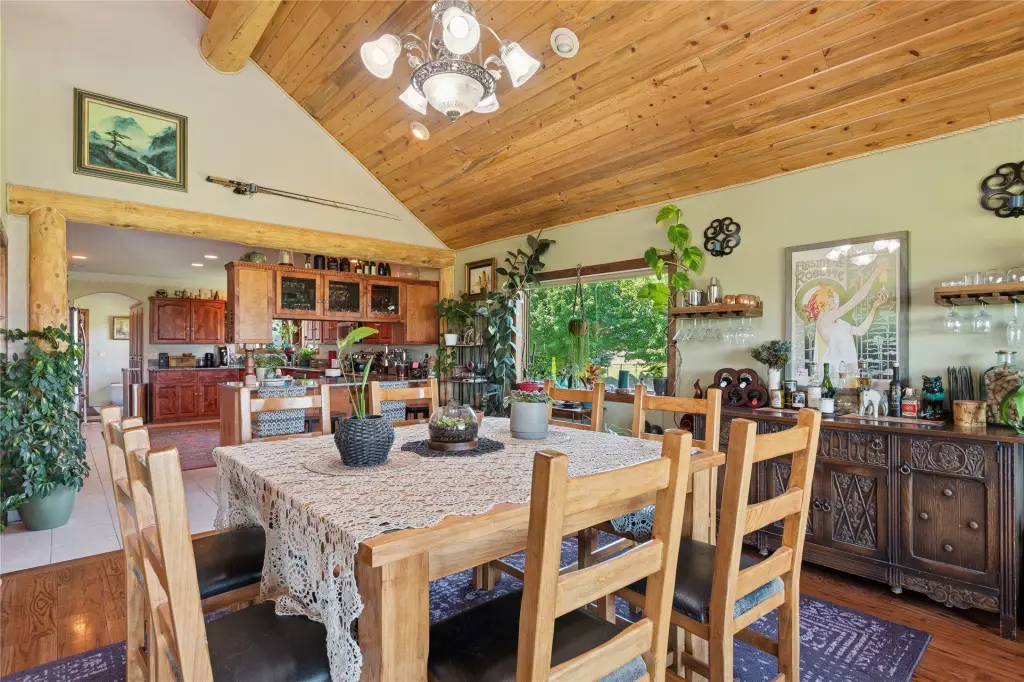
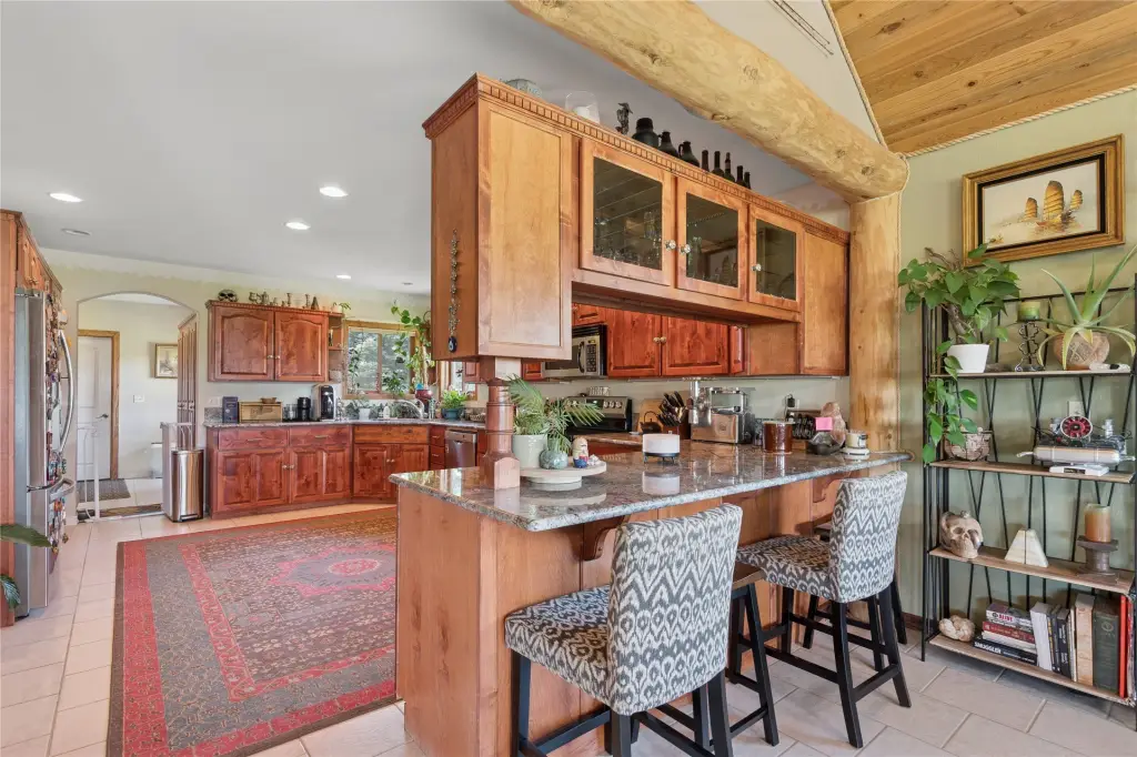
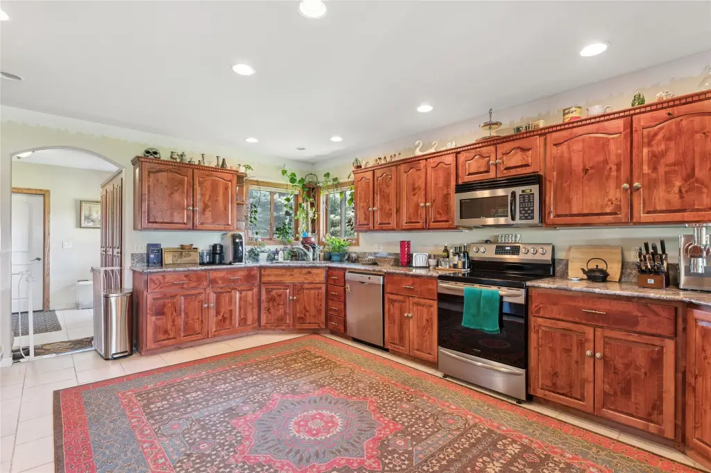
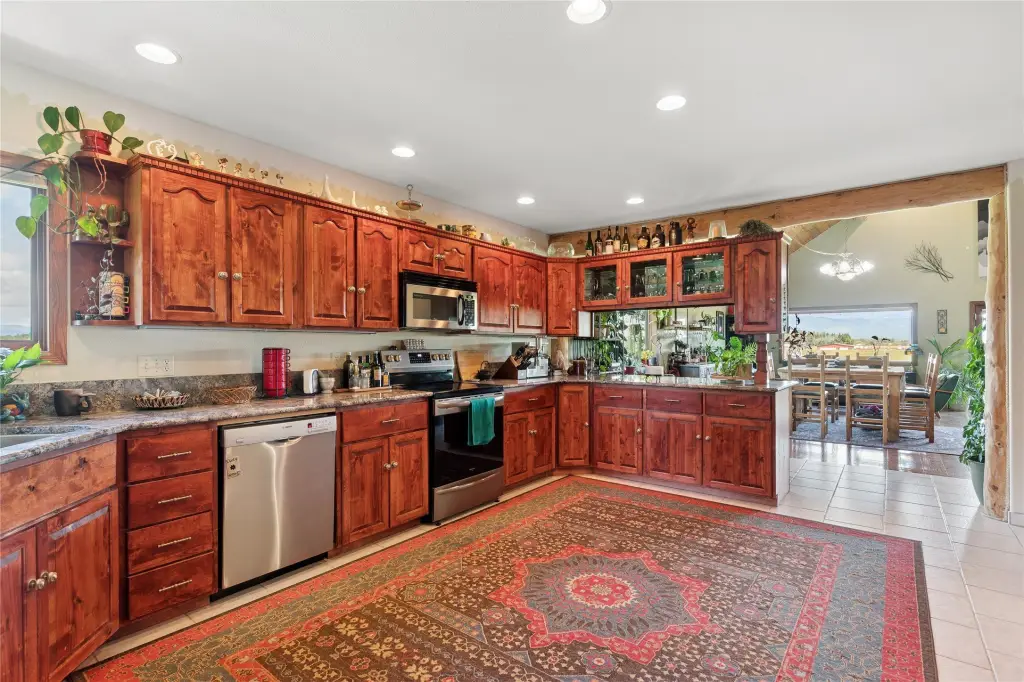
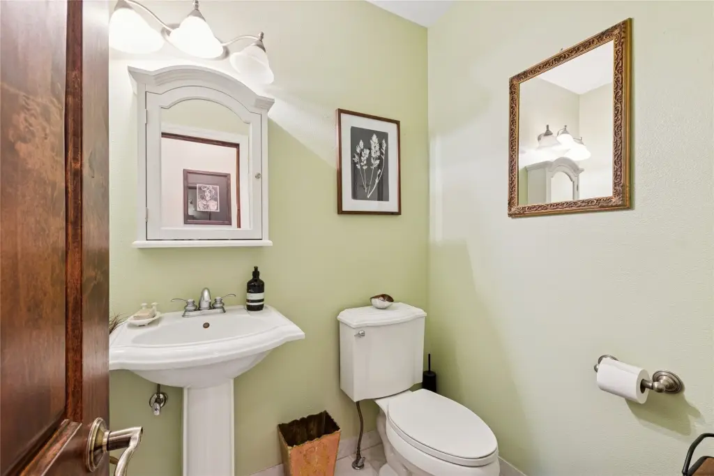
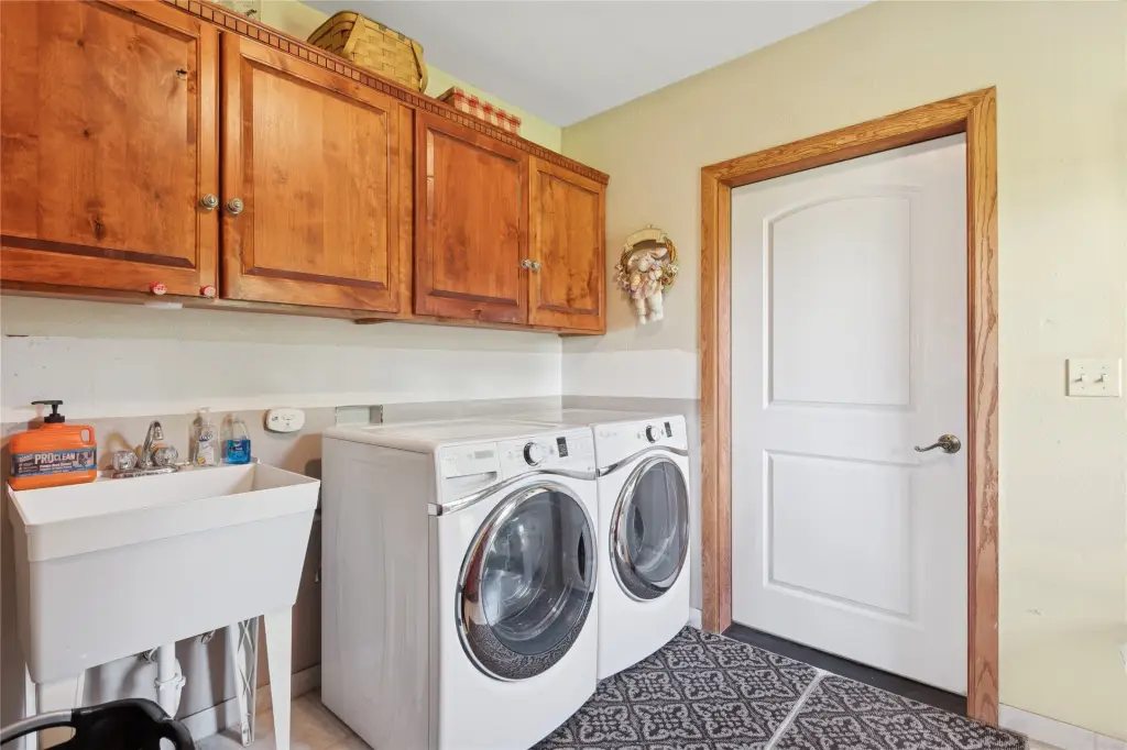
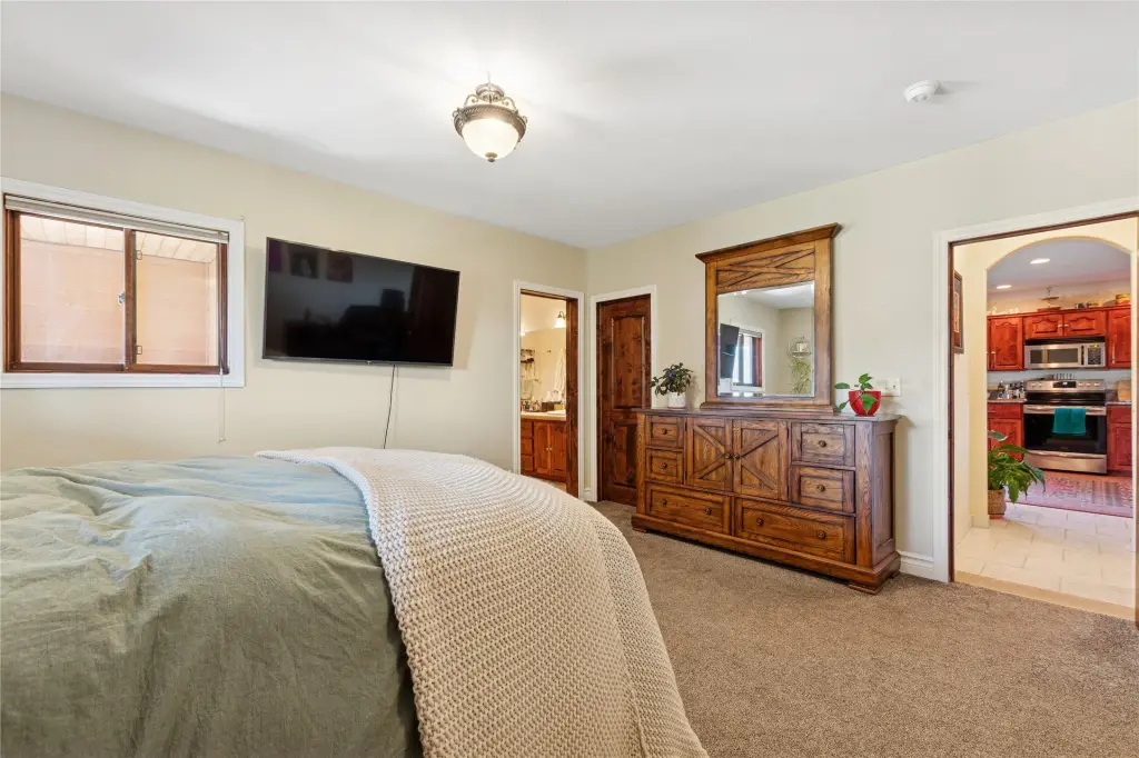
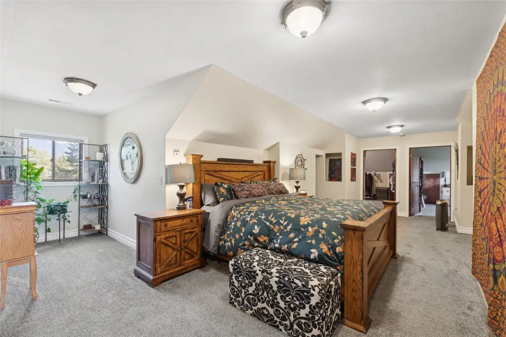
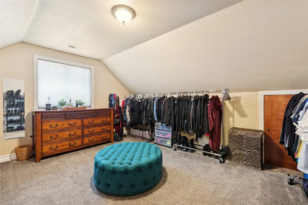
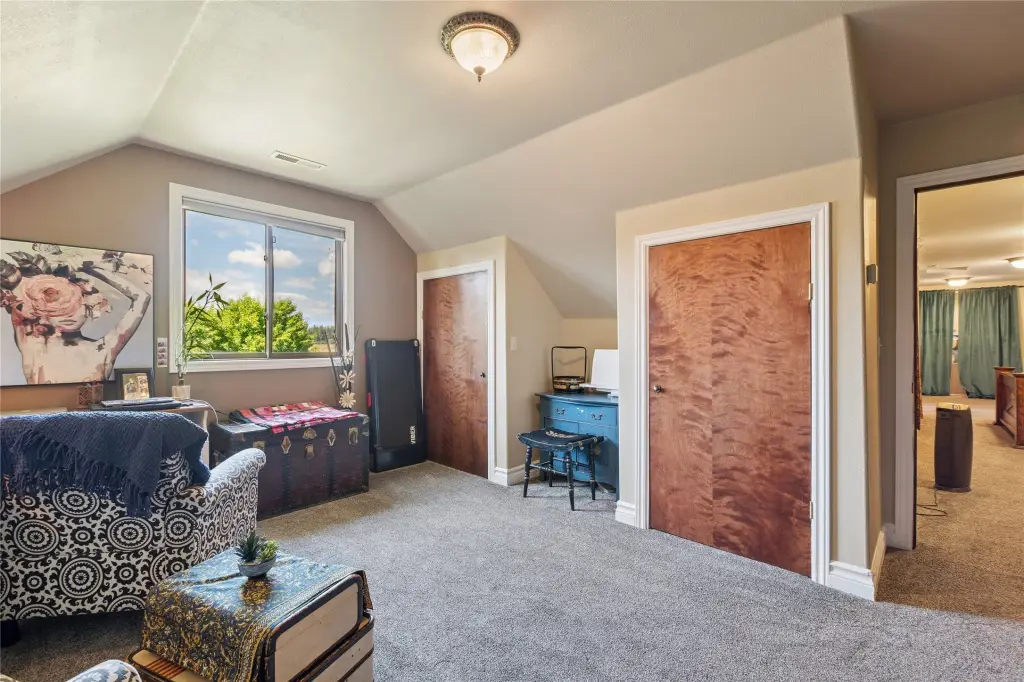
- Existing 4,789 sq ft home built in 2003, plus a separate 2‑bedroom/1‑bath walkout daylight basement apartment
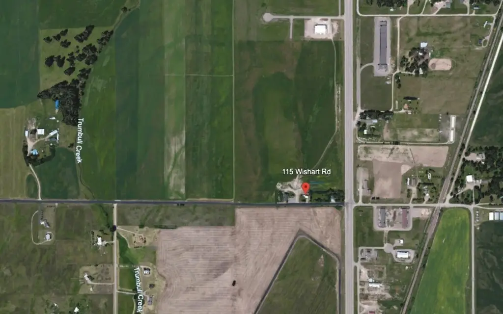
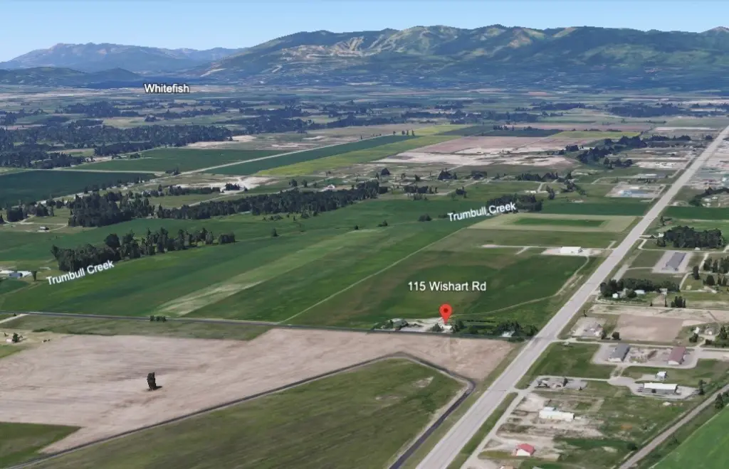
- Property includes three tracts with three addresses: 103, 115, and 127 Wishart Road
Overview
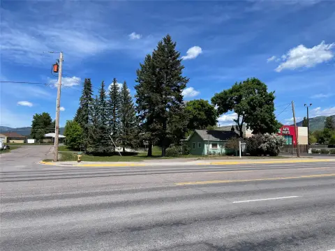
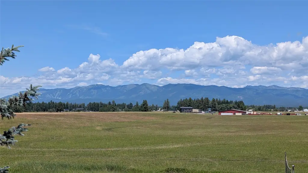
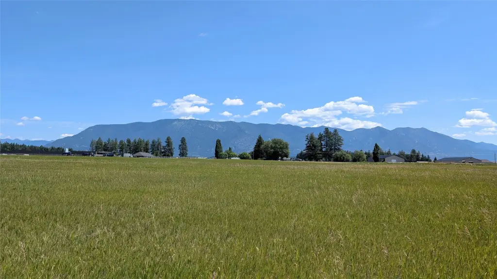
The property is positioned just north of Glacier Park International Airport along US Highway 2 East, with over 1,700 feet of highway frontage intended to support strong site visibility and convenient access for future concepts. The parcel is described as being under Scenic Corridor zoning, which supports a wide range of commercial development directions.
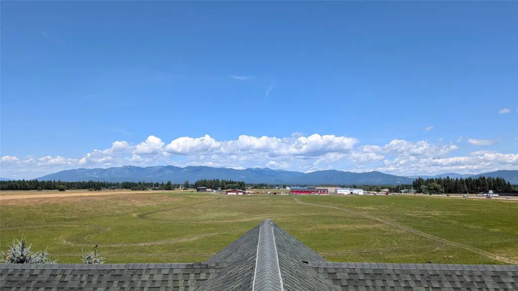
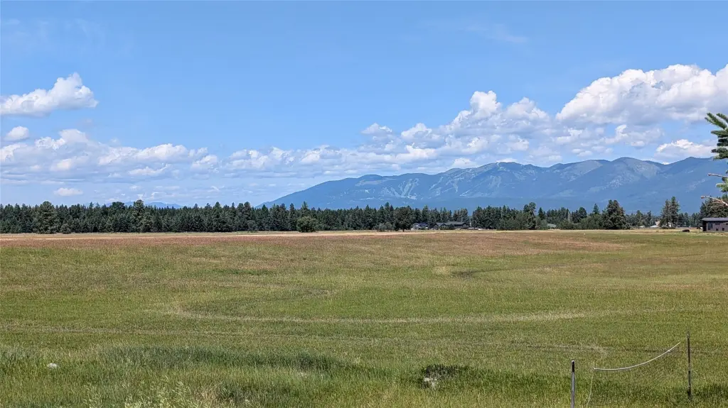
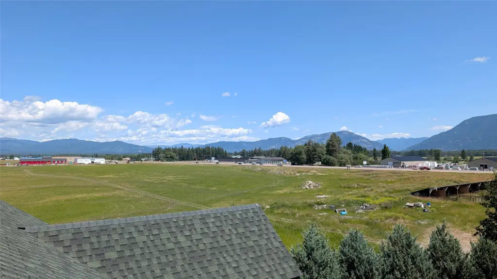
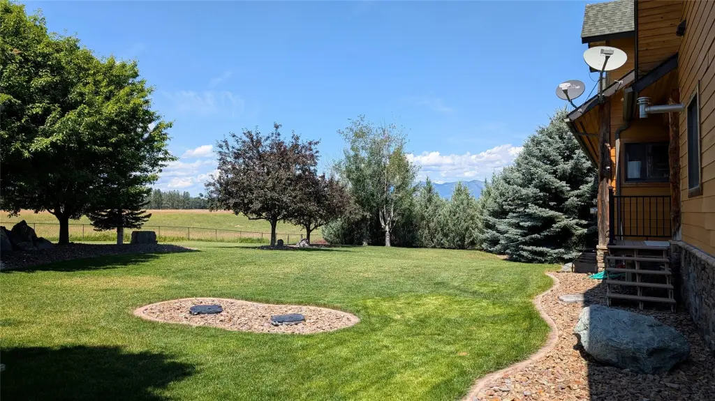
For tenants, operators, and investors considering a phased plan, the combination of level topography, expansive footprint, and frontage makes the site workable for a variety of hospitality, retail, event, RV park, or recreation-oriented uses. The presence of existing housing on-site can also be useful for interim operations while improvements are planned and brought online.
Current Use by Public Records
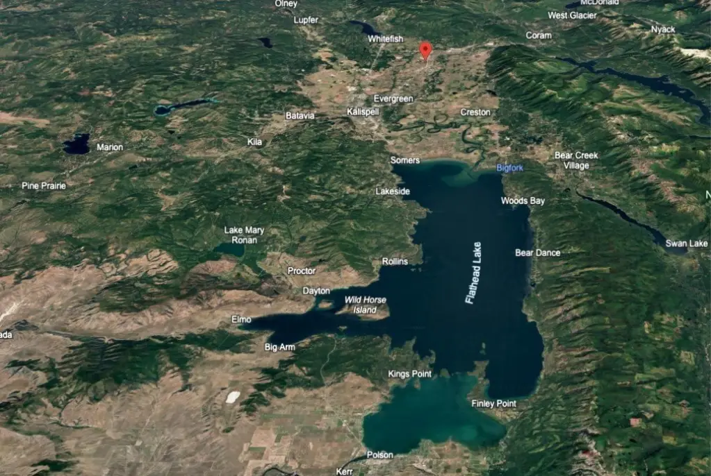
Map
- City
- Columbia Falls
- County
- Flathead
- State
- Montana
- Longitude
- -114.175
- Latitude
- 48.4206