Recreation Hunting Land
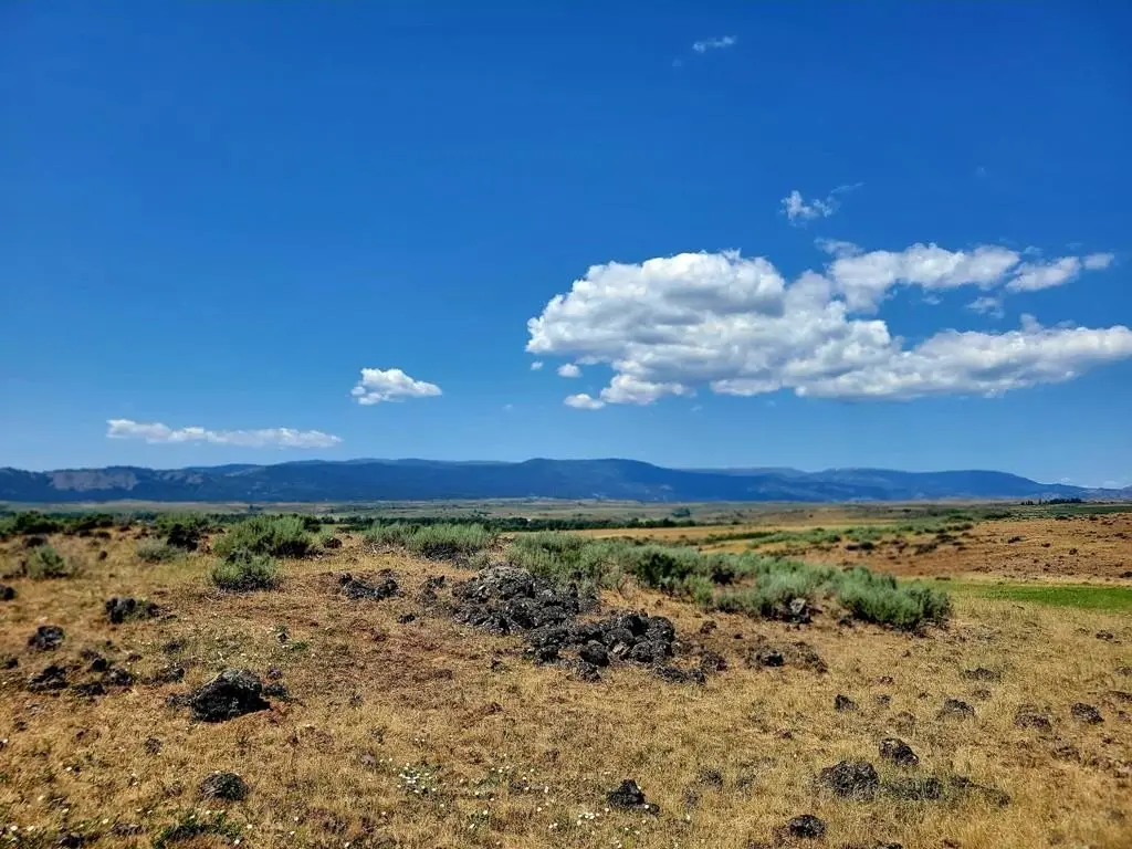
For Sale
$469,000
Hwy 95, Council, ID 83612
Land, Council, ID
Property SizeContact for details
Lot Size111.00 Acres
Days on Market99
Property Features for Hwy 95
General Information
Property type
Land
Property subtype
Other
Zoning description
County
Lot features
Manf Home O K, Horses Permitted, Pasture
Directions
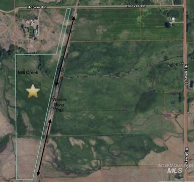
Hwy 95 North of Council approx mile post 140.5 turn onto private lane turn right at first rd watch for signs on both sides of the road
Subdivision
Council Area
Standard status
Active
APN
RP17N01W239000
Lot size
111.00 Acres
Taxes and HOA fees
Tax Year
2024
Tax Description
See Exhibit A
Tax Annual Amount
84
Legal Description
See Exhibit A
Listing Agency:
Silvercreek Realty Group LLC
(208) 377-0422
Listed By:
Wendy Ogden · License #AB32635
(208) 741-1375
Added: Jun 30
Changed: Aug 19
Last Checked: Oct 6 at 10:06AM
MLS# 544468
Copyright © 2026 Mountain Central Association of Realtors. All rights reserved. All information provided by the listing agent/broker is deemed reliable but is not guaranteed and should be independently verified.
Investment Insights
Based on property information with market context.
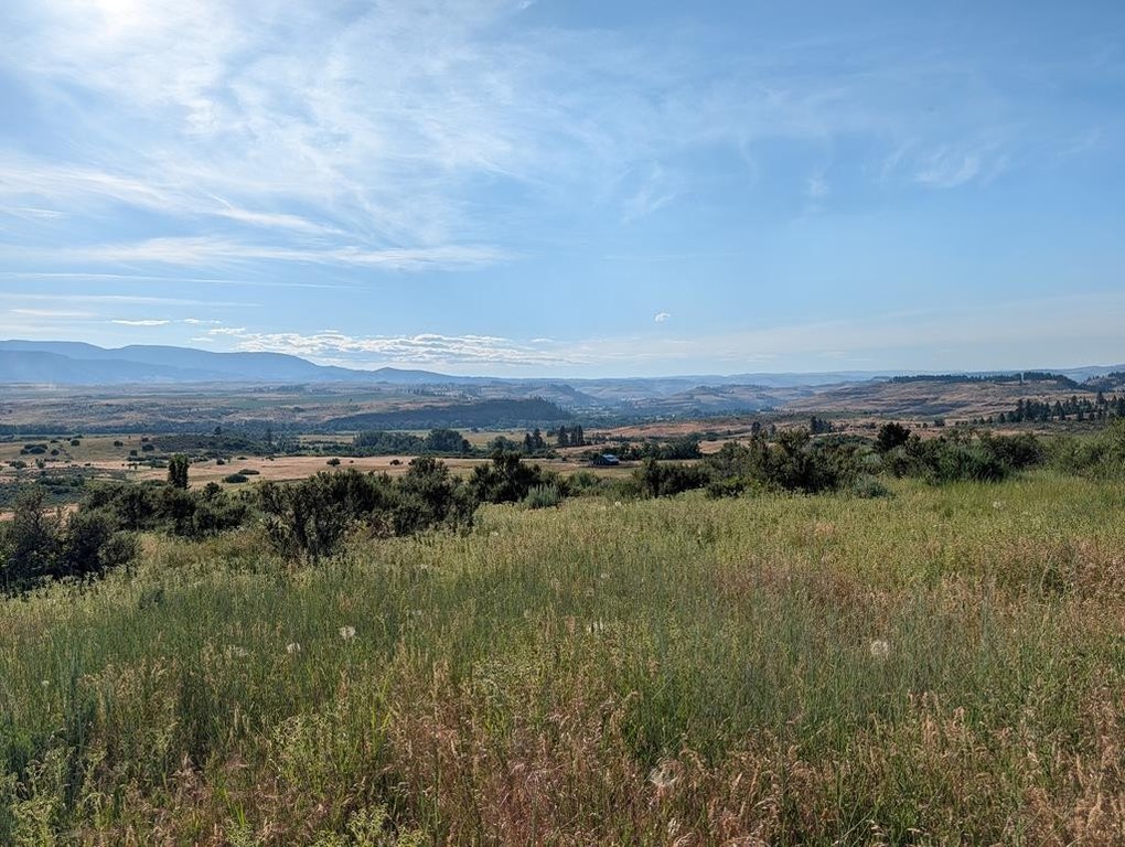
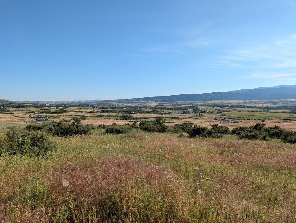
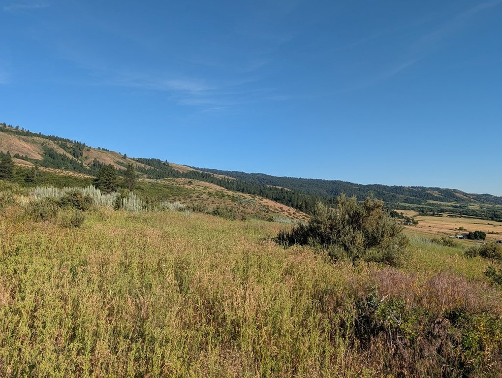
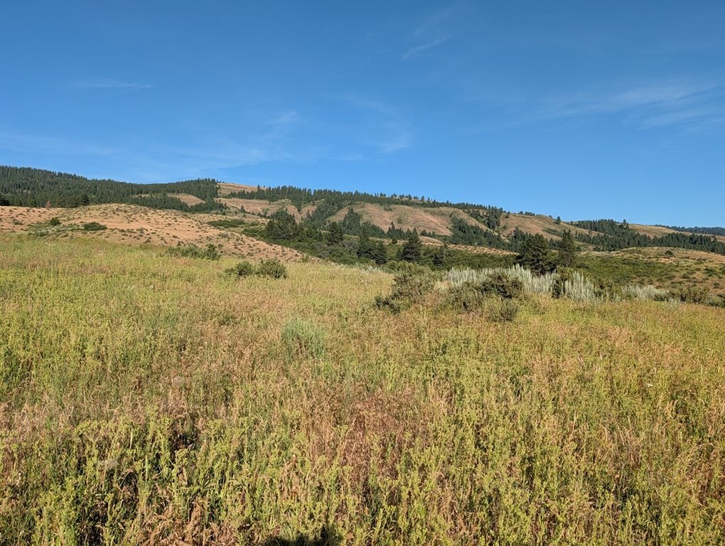
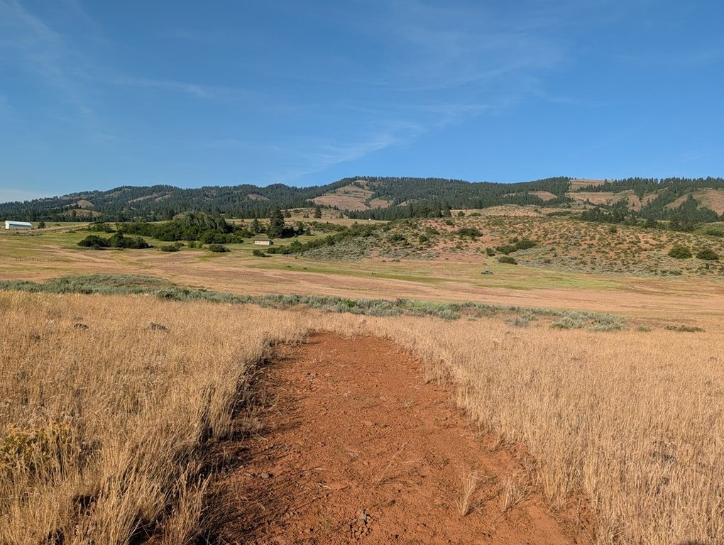
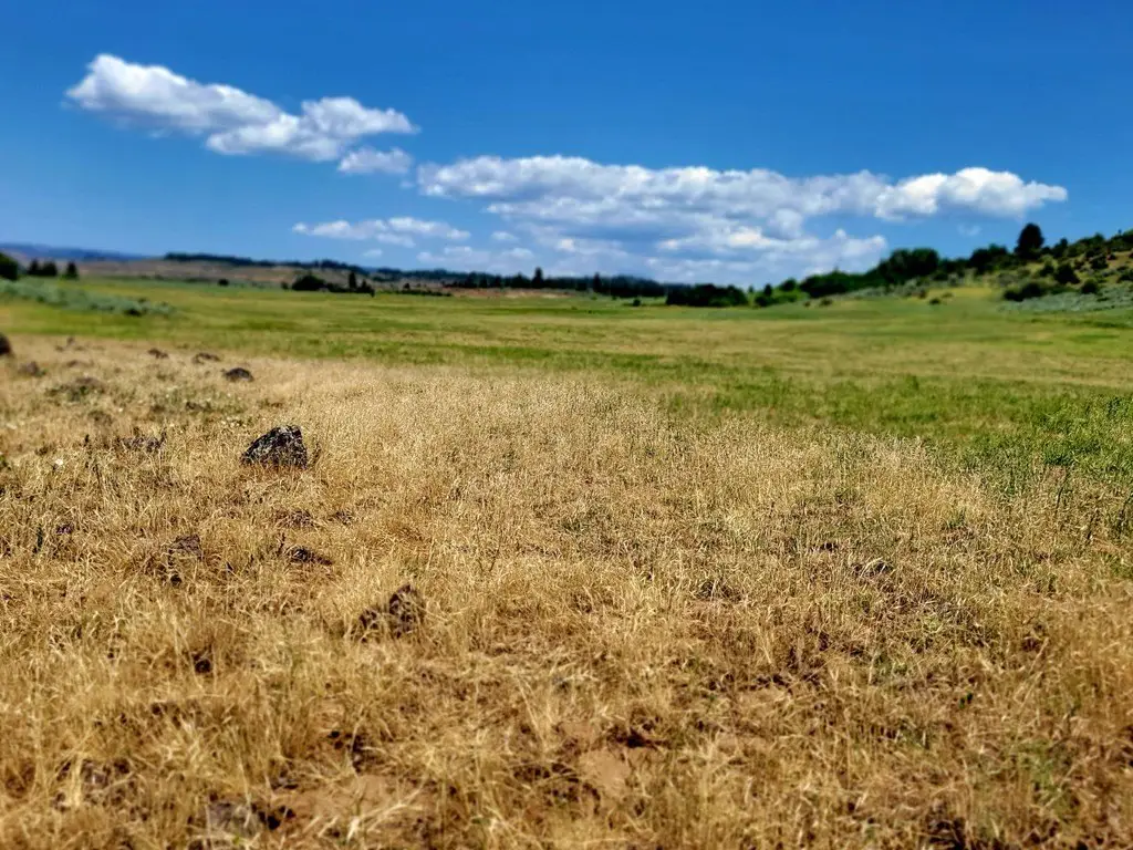
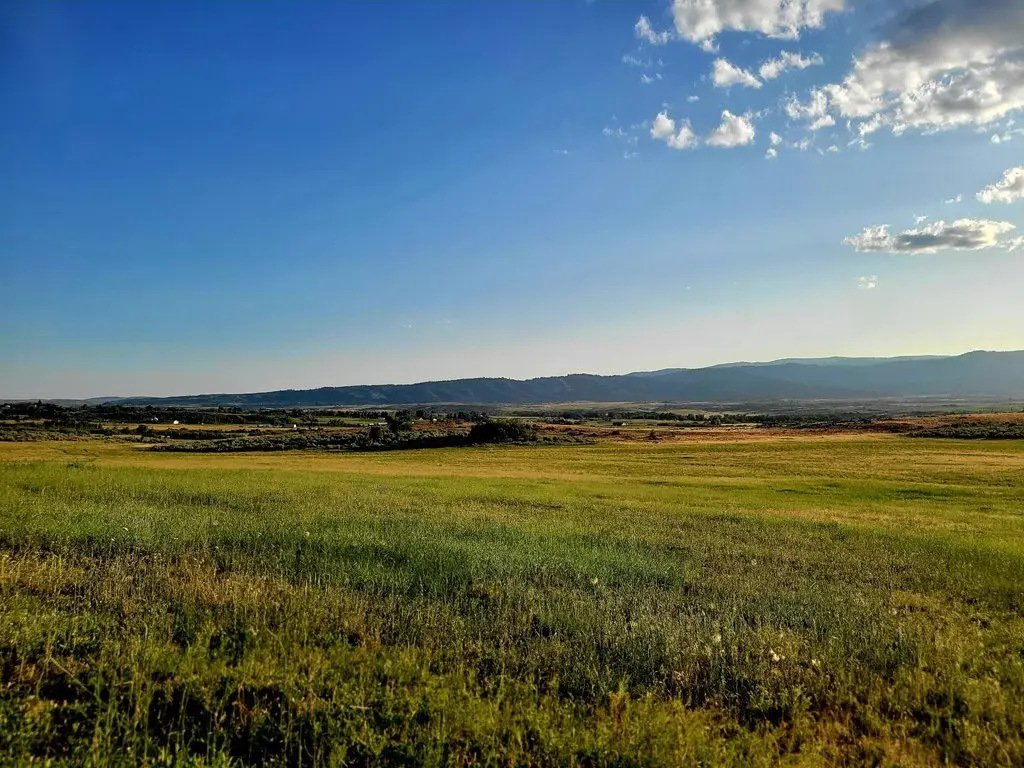
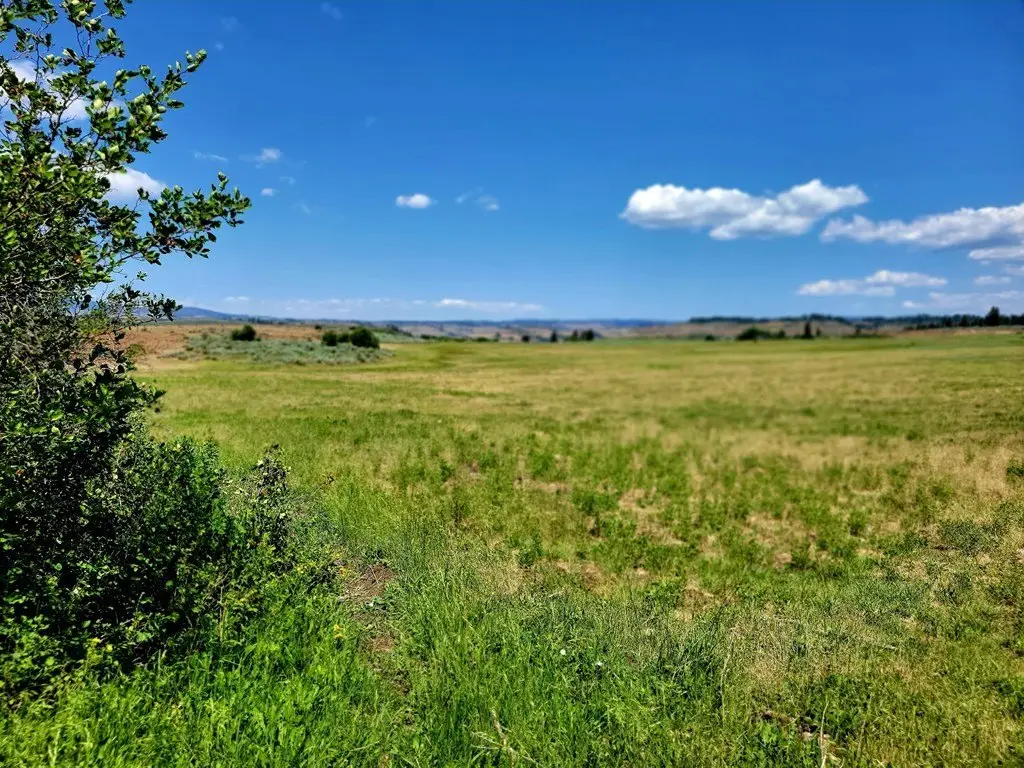
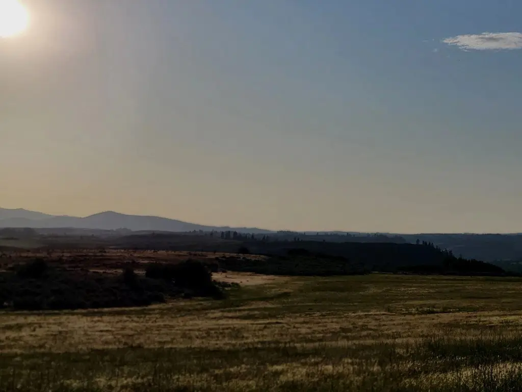
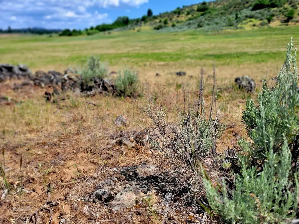
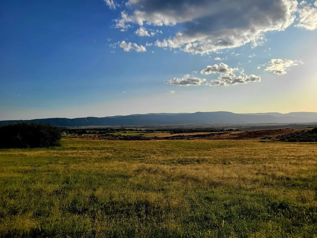
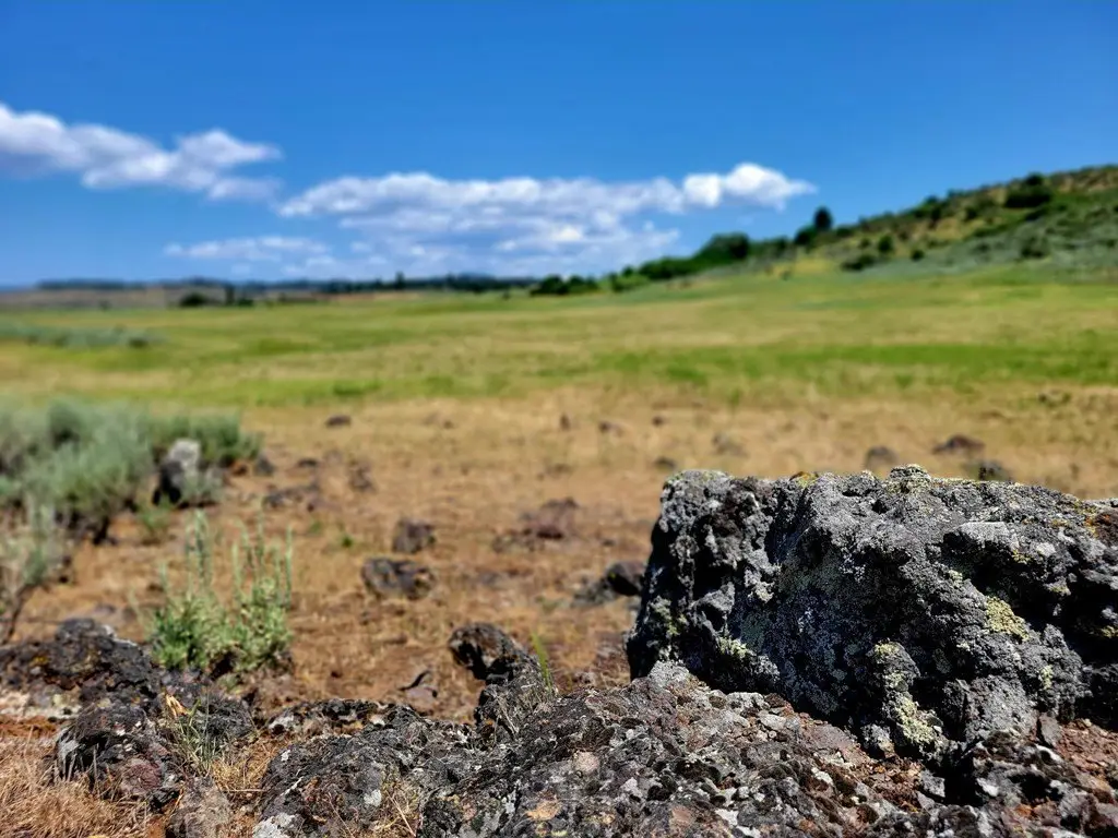
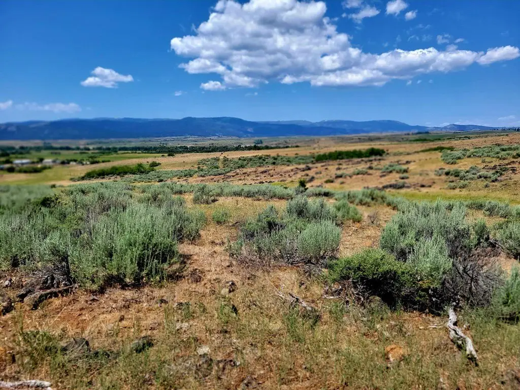
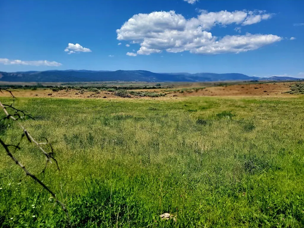
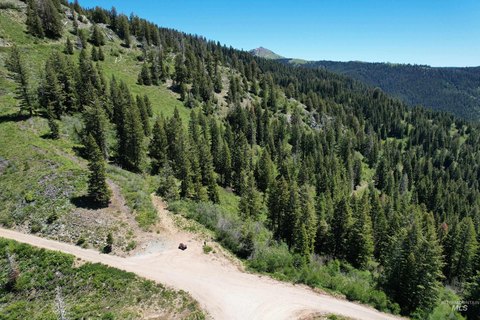
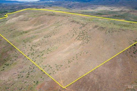
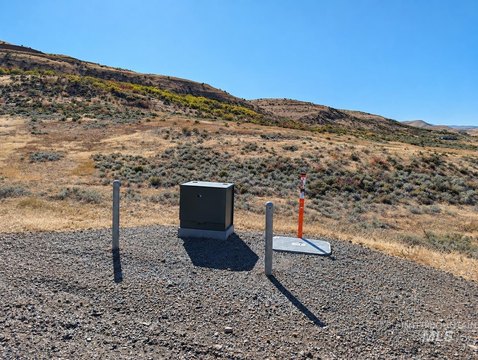
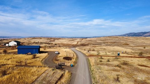
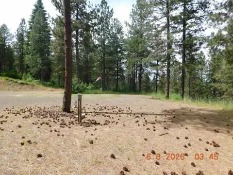
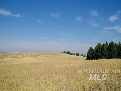
This listing presents a contiguous 111.95-acre land parcel formed by three tax parcels, suitable for a custom home and related improvements across multiple potential building sites. The property is positioned for privacy and includes nearby utilities, with power noted as being available nearby. The terrain includes options for building high on the ridge for wide views or selecting level ground for a home, shop, and barn.
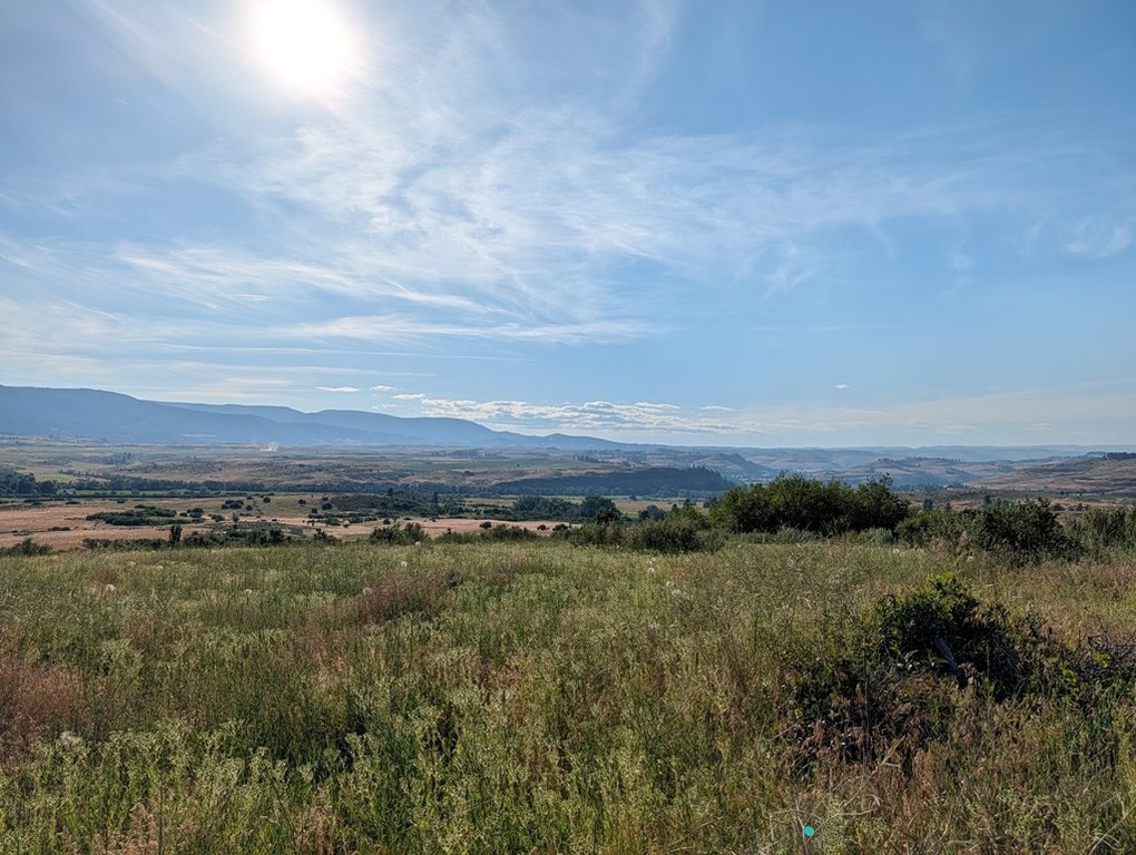
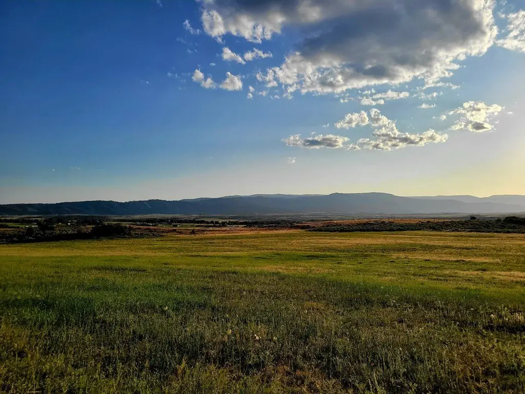
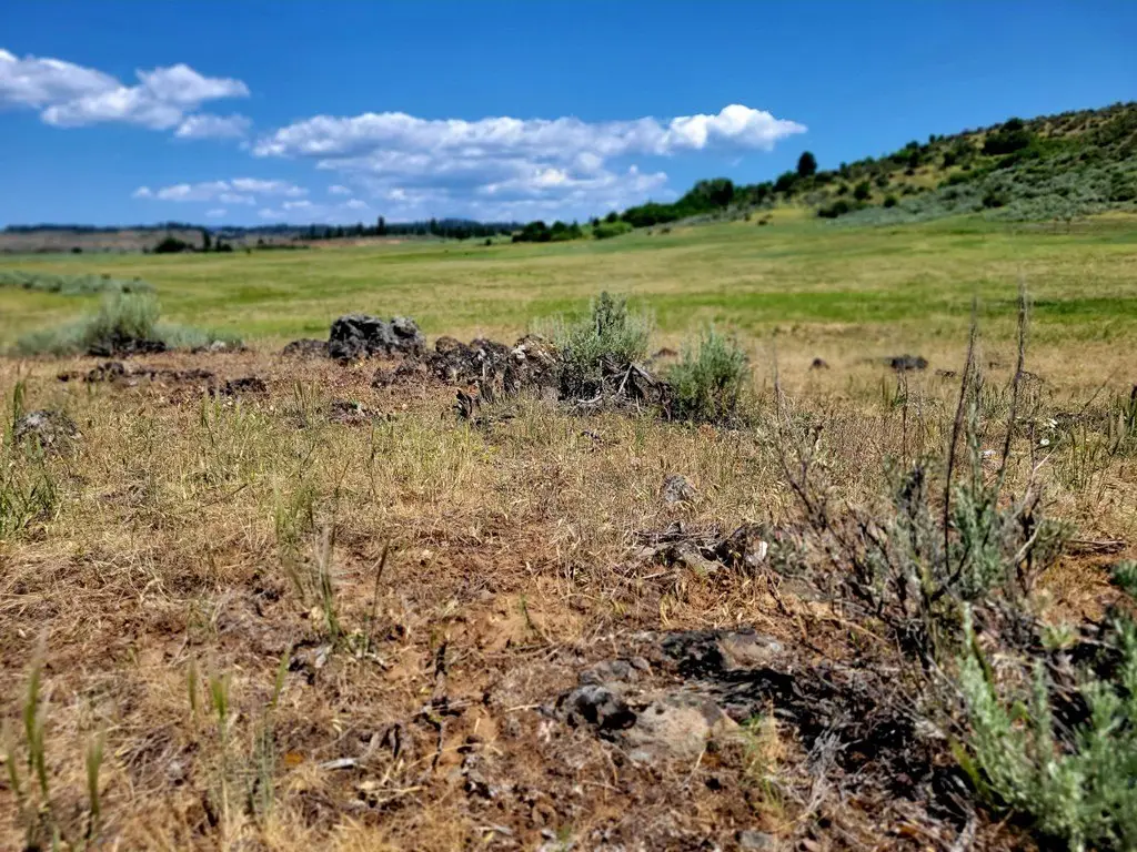
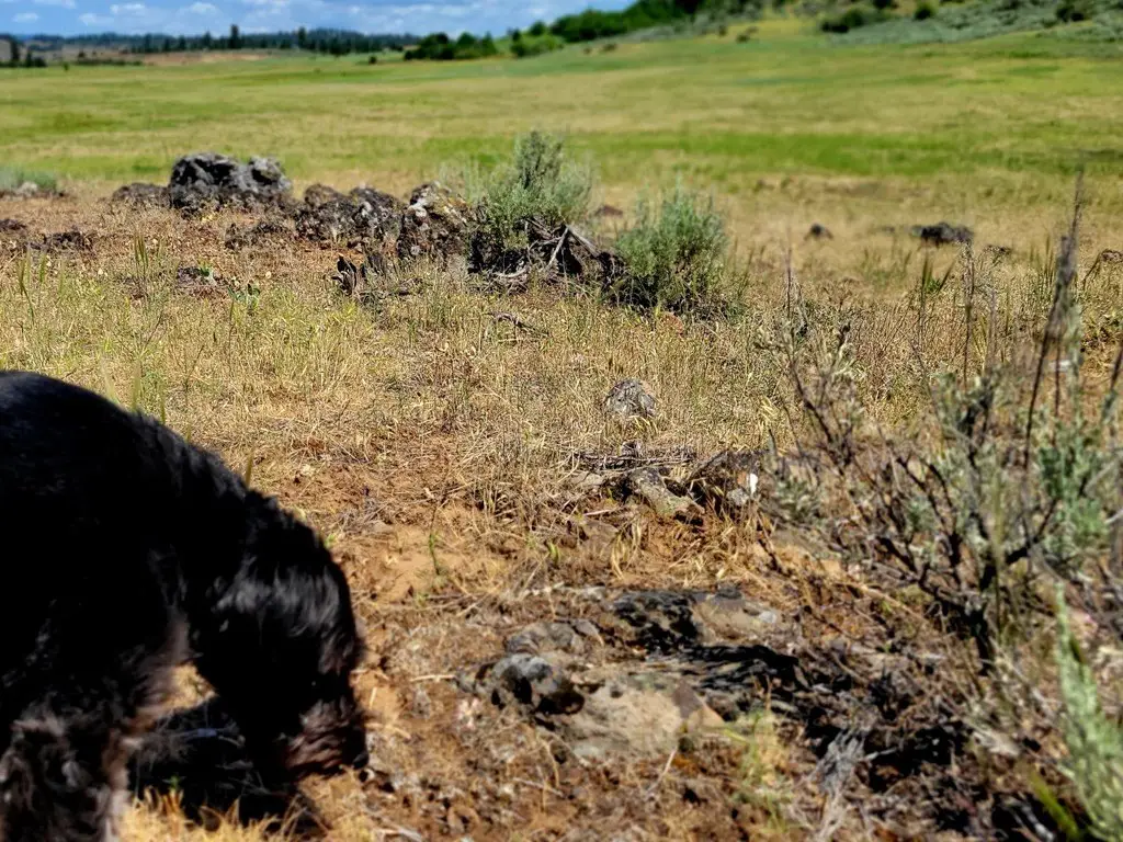
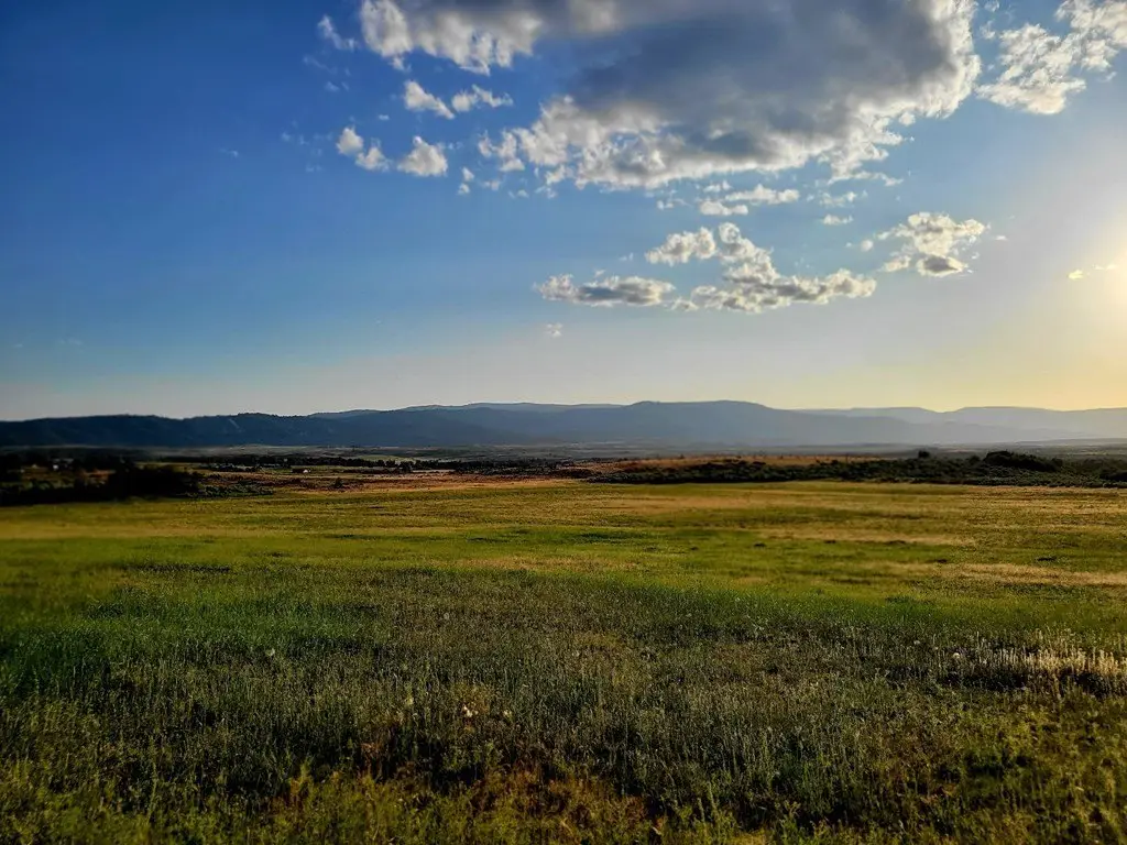
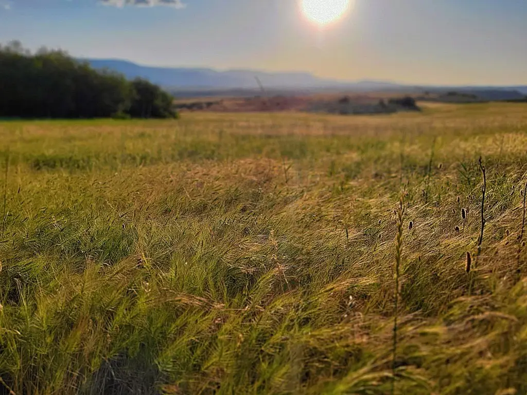
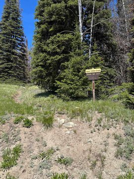
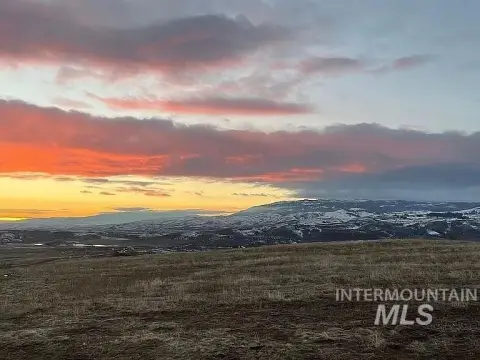
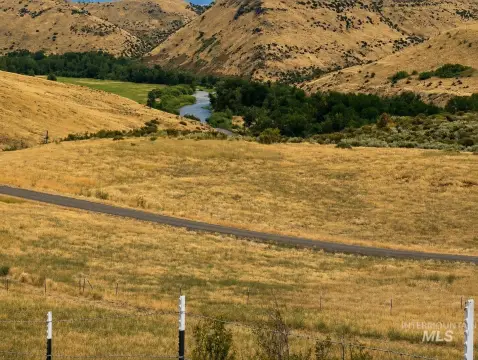
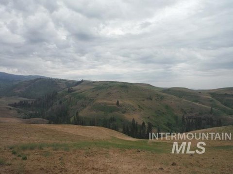
The property is located just north of Council with private road access. PublicRemarks indicate the parcel borders public land, with abundant wildlife and mountain and valley views described from the property.
The site is presented as well-suited for outdoor recreation, including hunting, fishing, boating, hiking, and snowmobiling, with access discussed for nearby recreational destinations.
The property is located just north of Council with private road access. PublicRemarks indicate the parcel borders public land, with abundant wildlife and mountain and valley views described from the property.
The site is presented as well-suited for outdoor recreation, including hunting, fishing, boating, hiking, and snowmobiling, with access discussed for nearby recreational destinations.
Key Highlights
- 111.95‑acre contiguous property made up of three tax parcels
- Private road access just north of Council, with a secluded country setting
- Borders public land and offers views with abundant wildlife
Property Analytics
Unlock full access to Insights
Subscribe to Realmo Intelligence
Open Analytics
Current Use
Lease Details
Yes
Paved road access
Location Intelligence
Trade Area within ½ mile
164
Businesses Nearby
Explore this area
Business Placement
Demographics for 83612, ID
2,162
Population
1,198
Households
1.8
Avg Household Size
55
Median Age
17%
College-Educated
90%
High-School Grad
497.2 sq mi
ZIP Area
4
Density / Sq Mi
$52,917
Median Household Income
$30,987
Median Earnings
$811
Median Rent
$259,700
Median Home Value
Check the figures for this property
Cap Rate, Value Estimation, Potential NOI and more
View Realmo Analytics

Questions? Ask Rey
Realmo’s AI knows this listing — price, zoning, demand, history. Ask anything.
Frequently Asked Questions
What type of property is this?
Residential land & home lot - 111-acre contiguous land parcel with private road access, bordering public land and offering multiple building sites.
Where is this residential land & home lot located?
The property is located at Hwy 95 Council, ID.
What is the asking price?
The asking price for this property is $469,000.
What are key features of this property?
This property features: 111.95‑acre contiguous property made up of three tax parcels; Private road access just north of Council, with a secluded country setting; Borders public land and offers views with abundant wildlife