Patented Mining Claims with
For Sale
$325,000
Forest Service Road 106, Council, ID 83612
Land, Council, ID
Property SizeContact for details
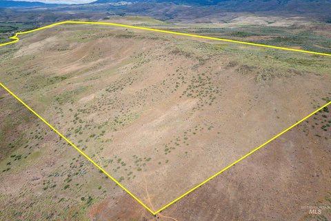
Lot Size103.96 Acres
Days on Market140
Property Features for Forest Service Road 106
General Information
Property type
Land
Property subtype
Other
Subdivision
0 Not Applic.
Lot features
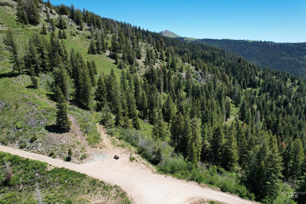
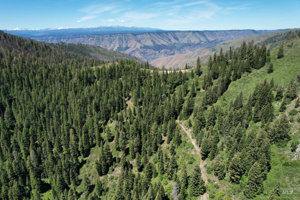
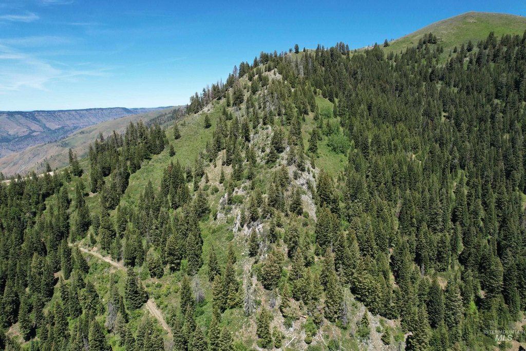
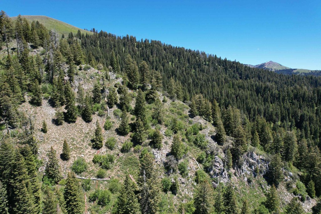
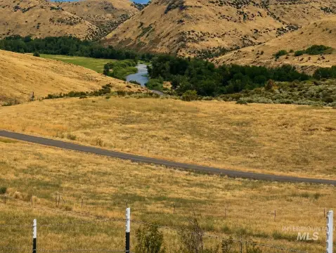
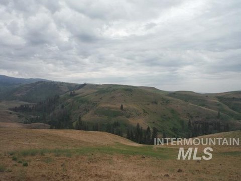
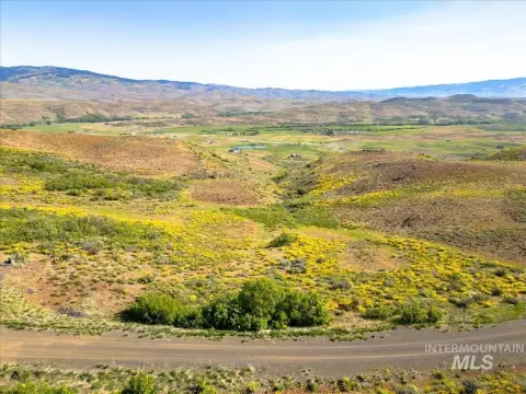
Over 40 Acres, Views, Wooded, Borders Public Owned Land
Directions
Contact listing agent for directions
Standard status
Active
APN
MM21N03W0600A
Lot size
103.96 Acres
Taxes and HOA fees
Tax Year
2025
Tax Description
Lengthy - Please contact listing Broker for Exhibit A
Tax Annual Amount
295
Legal Description
Lengthy - Please contact listing Broker for Exhibit A
Listing Agency:
Knipe Land Company
(208) 345-3163
Listed By:
Curtis Hitchcock · License #AB33290
(208) 866-2825
Added: May 20
Changed: Aug 24
Last Checked: Oct 6 at 7:06AM
MLS# 98987025
Copyright © 2026 Intermountain Multiple Listing Service. All rights reserved. All information provided by the listing agent/broker is deemed reliable but is not guaranteed and should be independently verified.
Investment Insights
Based on property information with market context.
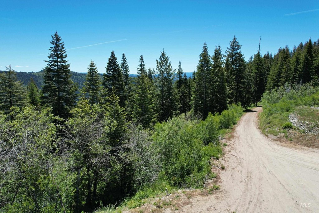
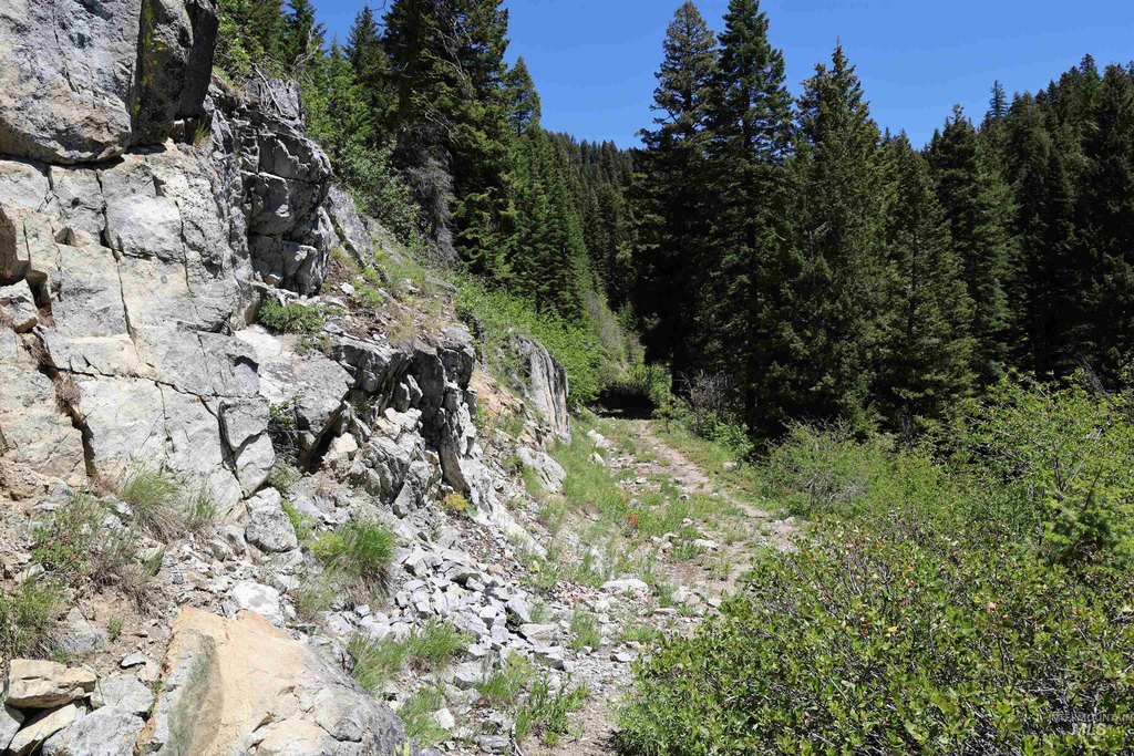
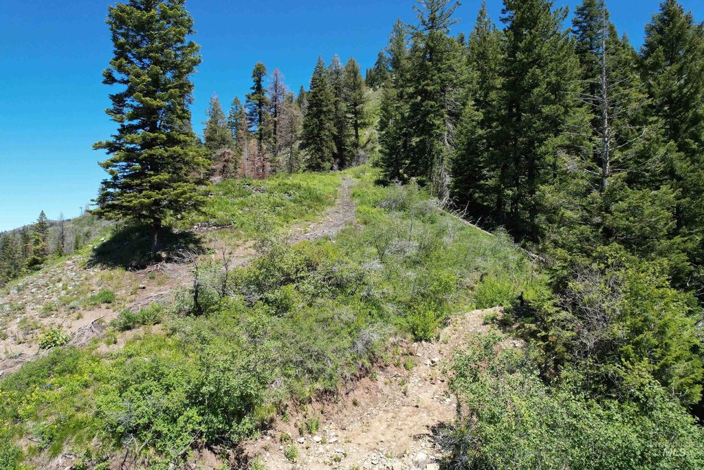
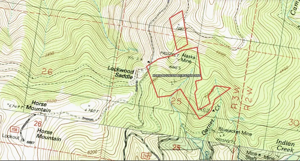
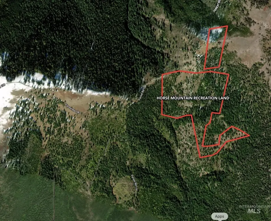
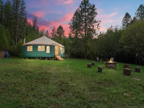
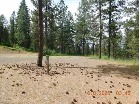
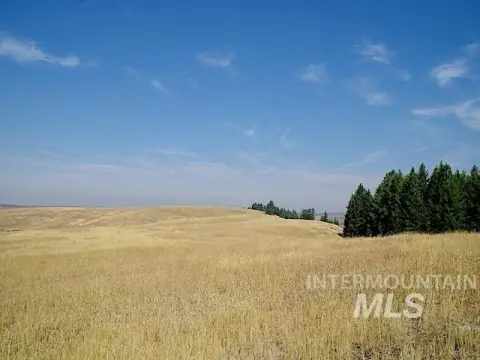
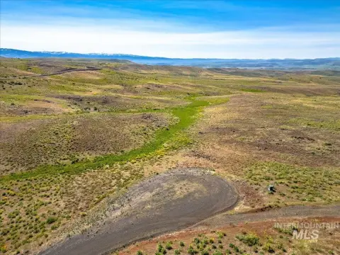
This 103.96-acre off-grid property consists of patented mining lodes identified as the Blue Bird, Cleveland, Cleveland Fraction, Alaska, Mountain King, Maude S, North Alaska, South Alaska, and Humboldt claims. The land is primarily timbered and includes a substantial stand of white pine; the precise volume of mature timber has not been determined. The property was previously associated with the Alaska Mine and retains mining-related potential.
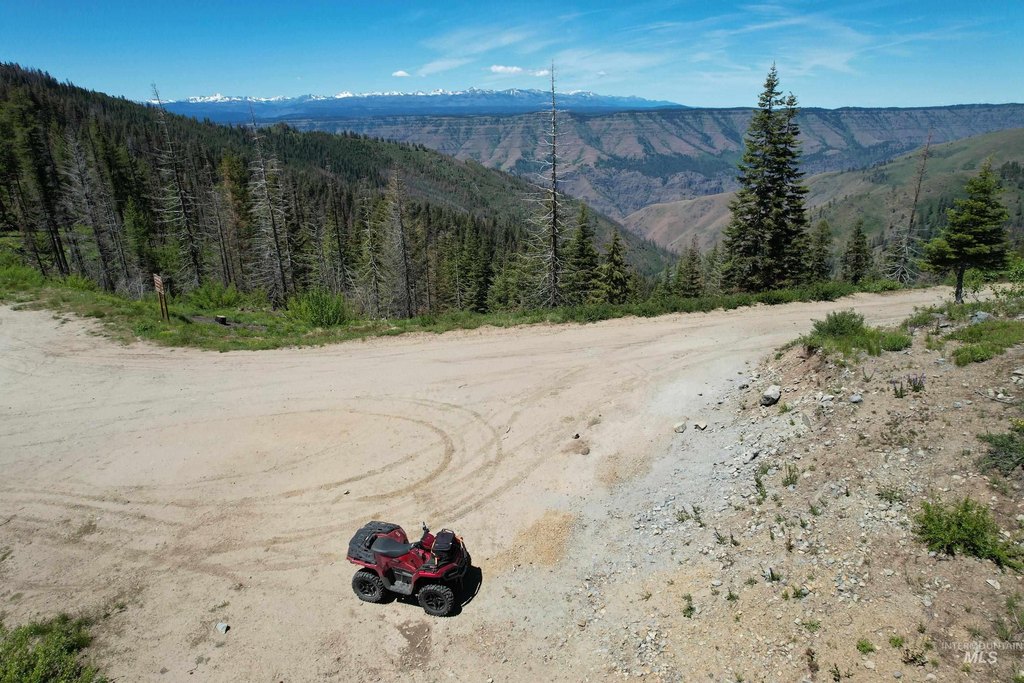
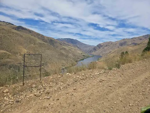
Located near Horse Mountain Lookout and Lockwood Saddle, the property shares its eastern boundary with Forest Service land. Its remote setting supports recreational use, including ATV and equestrian activities, while the existing claims provide a distinctive mining-land profile.
Located near Horse Mountain Lookout and Lockwood Saddle, the property shares its eastern boundary with Forest Service land. Its remote setting supports recreational use, including ATV and equestrian activities, while the existing claims provide a distinctive mining-land profile.
Key Highlights
- 103.96 acres of off‑grid mining and recreational land
- Nine patented lodes: Blue Bird, Cleveland, Cleveland Fraction, Alaska, Mountain King, Maude S, North Alaska, South Alaska, and Humboldt
- Eastern boundary adjoins Forest Service land
Property Analytics
Current Use
Location Intelligence
Trade Area within ½ mile
5
Businesses Nearby
Explore this area
Business Placement
Demographics for 83612, ID
2,162
Population
1,198
Households
1.8
Avg Household Size
55
Median Age
17%
College-Educated
90%
High-School Grad
497.2 sq mi
ZIP Area
4
Density / Sq Mi
$52,917
Median Household Income
$30,987
Median Earnings
$811
Median Rent
$259,700
Median Home Value
Market
Vacancy Rate% for Industrial in West region

Questions? Ask Rey
Realmo’s AI knows this listing — price, zoning, demand, history. Ask anything.
Frequently Asked Questions
What type of property is this?
Mining land & claim - Off-grid recreational acreage with patented mining lodes, wooded terrain, and access for outdoor activities.
Where is this mining land & claim located?
The property is located at Forest Service Road 106 Council, ID.
What is the asking price?
The asking price for this property is $325,000.
What are key features of this property?
This property features: 103.96 acres of off‑grid mining and recreational land; Nine patented lodes: Blue Bird, Cleveland, Cleveland Fraction, Alaska, Mountain King, Maude S, North Alaska, South Alaska, and Humboldt; Eastern boundary adjoins Forest Service land