Acreage with Insulated
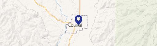
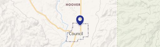
2195 Coyote Run Council, ID 83612


2195 Coyote Run, Council, ID, 83612
$590,000
For Sale
$590,000
LAND - Council, ID
Lot Size11.42 Acres
Days on Market444
Property Features for 2195 Coyote Run
General Information
- Property type
- Land
- Property subtype
- Other
- Standard status
- Active
- APN
- RP00127000111CA & RP00127000111DA
- Lot size
- 11.42 Acres
Taxes and HOA fees
- Tax Year
- 2023
- Tax Description
- PT LOT 11 HORNET RIDGE ESTATES PHASE ONE
- Tax Annual Amount
- 61
Utilities
- Sewer type
- Septic Tank
- Water source
- Well
Listing agency
Homes of Idaho
(208) 442-8500
Listed by
Nikki Jones · License #SP49661
(208) 477-9783
Added: May 5, 2025 Updated: Jun 22 at 4:24PM Checked: Jul 22 at 3:06AM
MLS# 98945791
Copyright © 2026 Intermountain Multiple Listing Service. All rights reserved. All information provided by the listing agent/broker is deemed reliable but is not guaranteed and should be independently verified.
Investment Insights
Based on property information with market context.
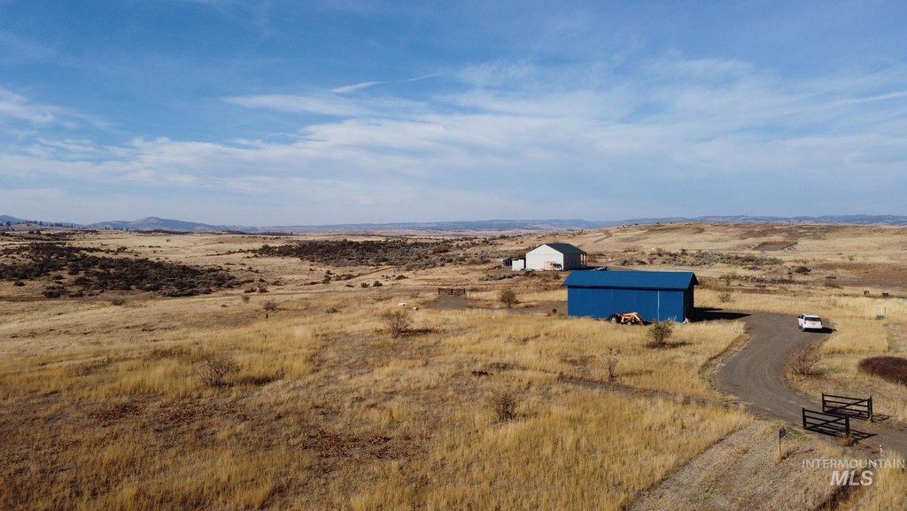
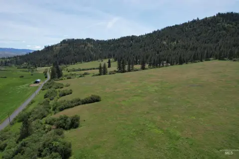
Set on 11.42 acres in rural Idaho, this property is offered for sale with essential utilities already in place, including power, a well, septic, and internet service. A 50x25 insulated shop supports a practical on-site setup, featuring 14-foot doors, 220 power, a pellet stove, security cameras, and dual RV hookups. The site is designed to support outdoor living and storage for equipment, hobbies, or temporary use.
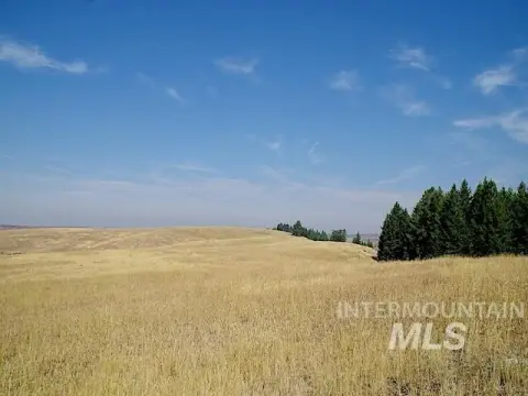
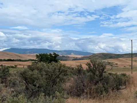
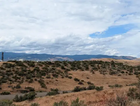
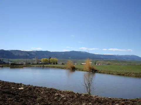
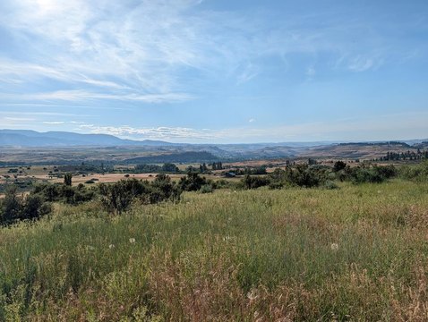
The property offers privacy and open views, along with direct access to public land for recreation and wildlife. It is located just minutes from Council, with convenient access to national forest trails and nearby mountain recreation.
For buyers looking for a ready-to-use rural base, the combination of utility hookups, an insulated shop, and RV connections can help reduce time and cost between purchase and occupancy or interim use. The acreage also accommodates horses or livestock, with room for up to eleven large animals. Whether you plan to build, camp, or operate around a horse and recreation lifestyle, the property’s existing improvements support flexible daily use while keeping the focus on space and outdoor access.
Key Highlights
- 11.42 acres with power, well, septic, and internet already installed.
- 50x25 insulated shop with 14 ft doors, 220 power, pellet stove, security cameras, and dual RV hookups.
- Direct access to public land for recreation and wildlife.
Property Analytics
Location Intelligence
Current Use by Public Records
Flex space
Similar For Sale Nearby
FAQs
What type of property is this?
Agricultural land / Farmland - 11.42 acres with power, well, septic, internet, and a 50x25 insulated shop with RV hookups.
Where is this agricultural land / farmland located?
The property is located at 2195 Coyote Run Council, ID.
What is the asking price?
The asking price for this property is $590,000.
What are key features of this property?
This property features: 11.42 acres with power, well, septic, and internet already installed.; **50x25 insulated shop with 14 ft doors, 220 power, pellet stove, security cameras, and dual RV hookups.**; Direct access to public land for recreation and wildlife.