FM 128, Ben Franklin, TX 75415
- Added:
- Jan 5, 2026
- Days on Market:
- 185
- Last Refresh:
- Jul 9 at 4:06 pm
Property Features for FM 128
General Information
- Property type
- Land
- Property subtype
- Other
- Standard status
- Active Under Contract
- Lot size
- 575.42 Acres
Utilities
- Water front features
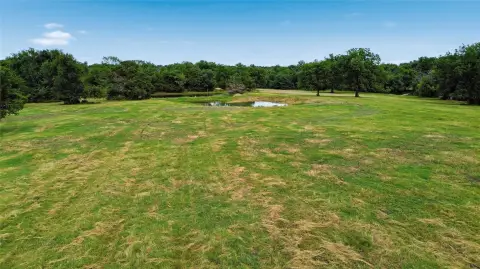
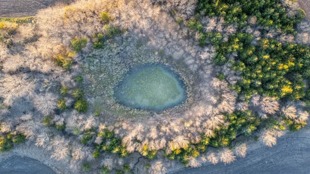
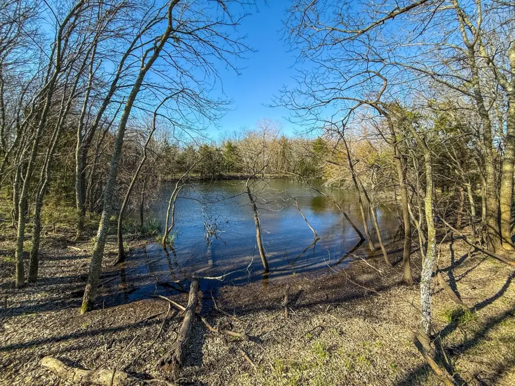
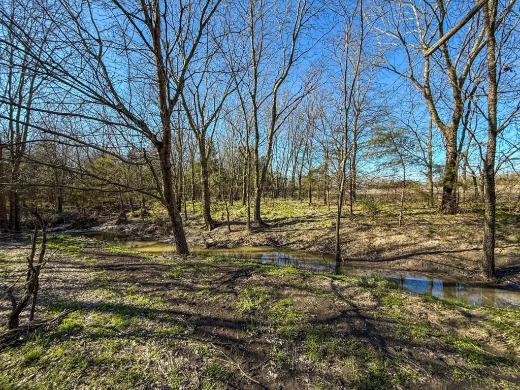
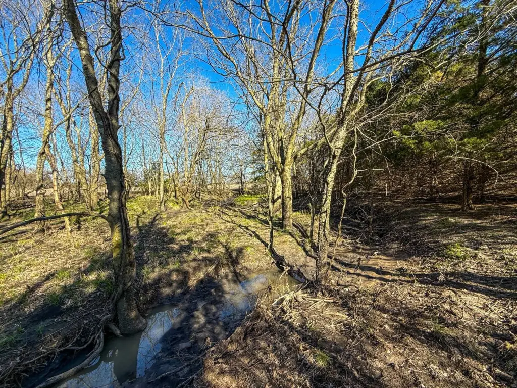
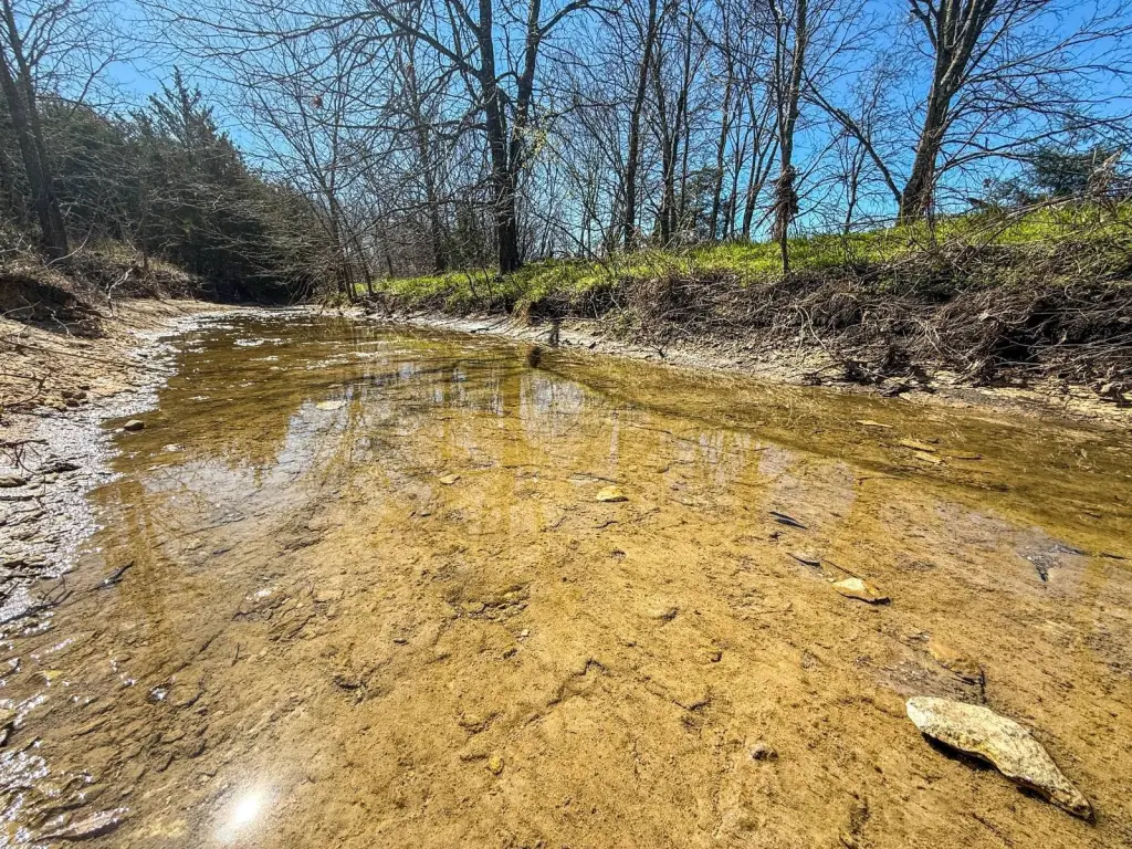
- Pond, Creek
Listing agent Joe Marzahl 833-USE-AHLC
Listing office Arrowhead Land Company 205 E Dewey Ave, Sapulpa, TX (833) 873-2452
Listing date Jan 5, 2026
Copyright © 2026 My State MLS. All rights reserved. All information provided by the listing agent/broker is deemed reliable but is not guaranteed and should be independently verified.
HighLights
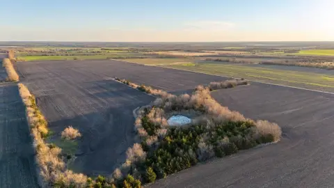
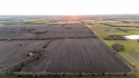
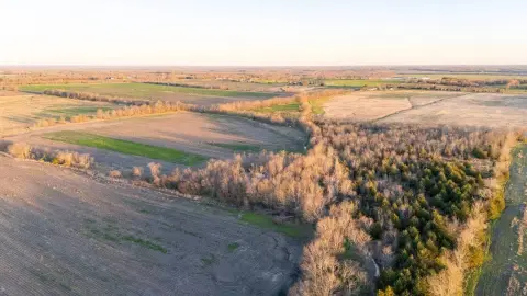
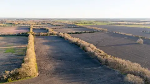
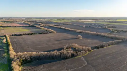
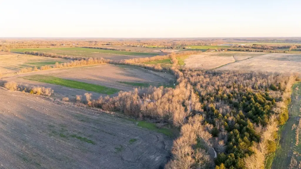
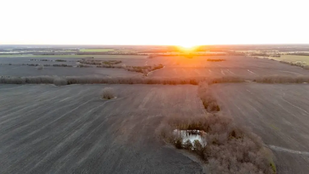
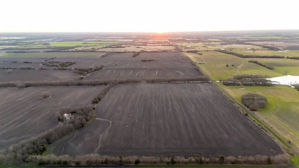
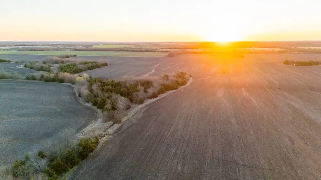
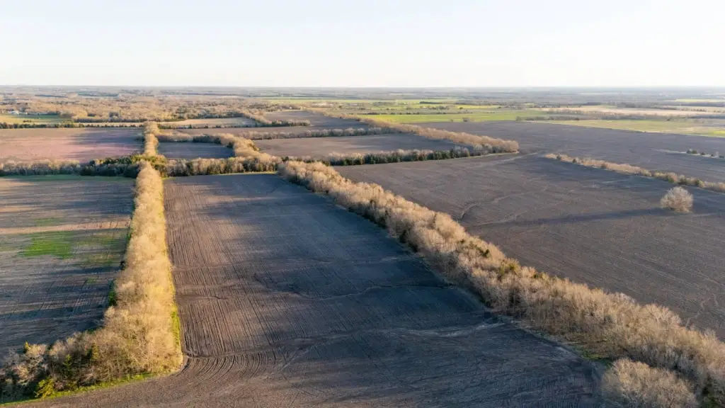
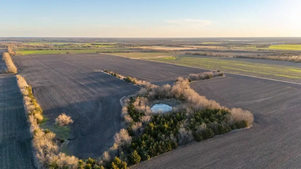
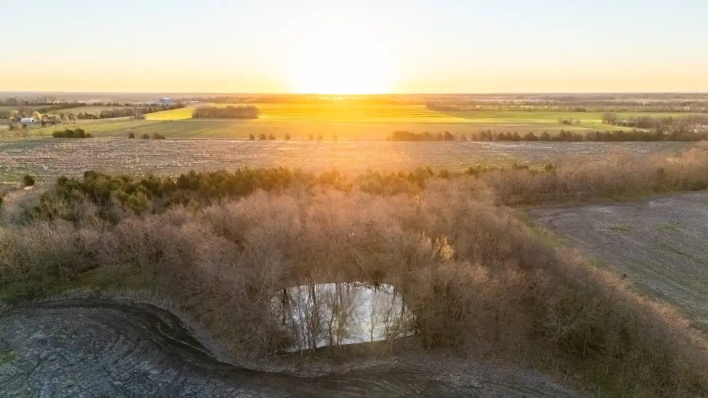
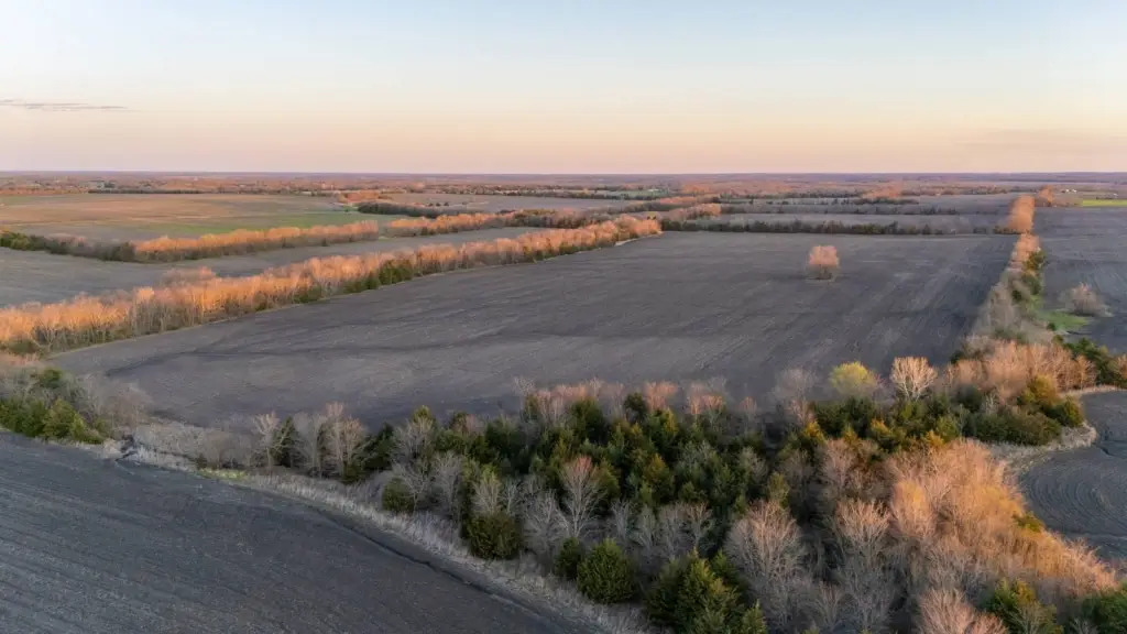
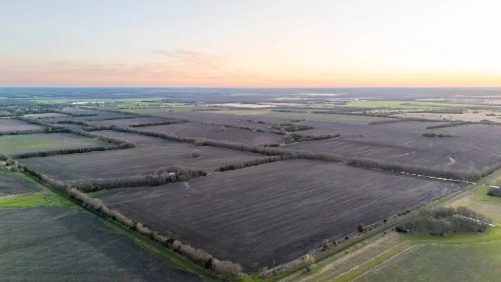
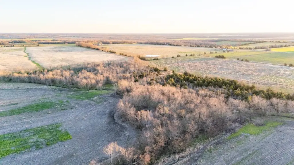
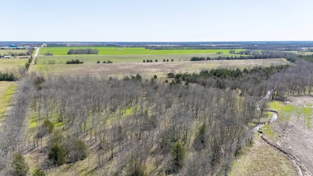
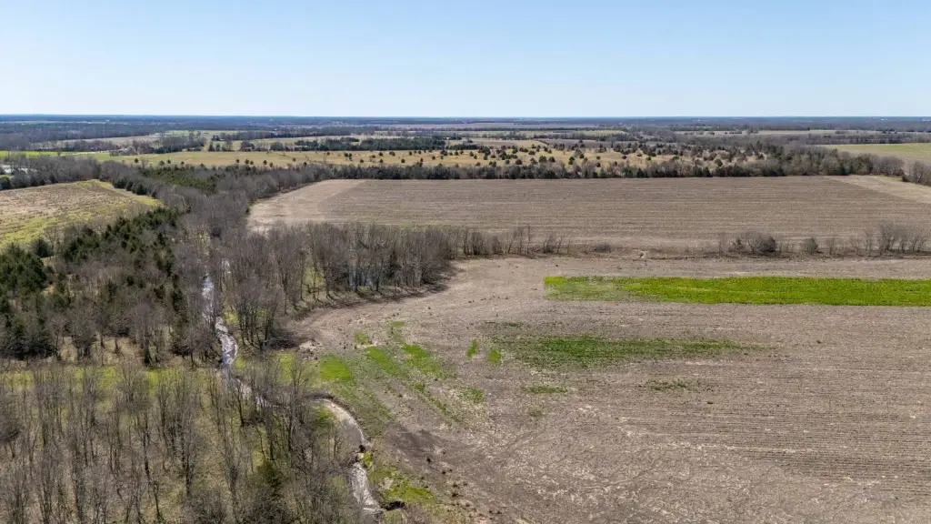
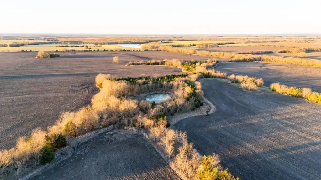
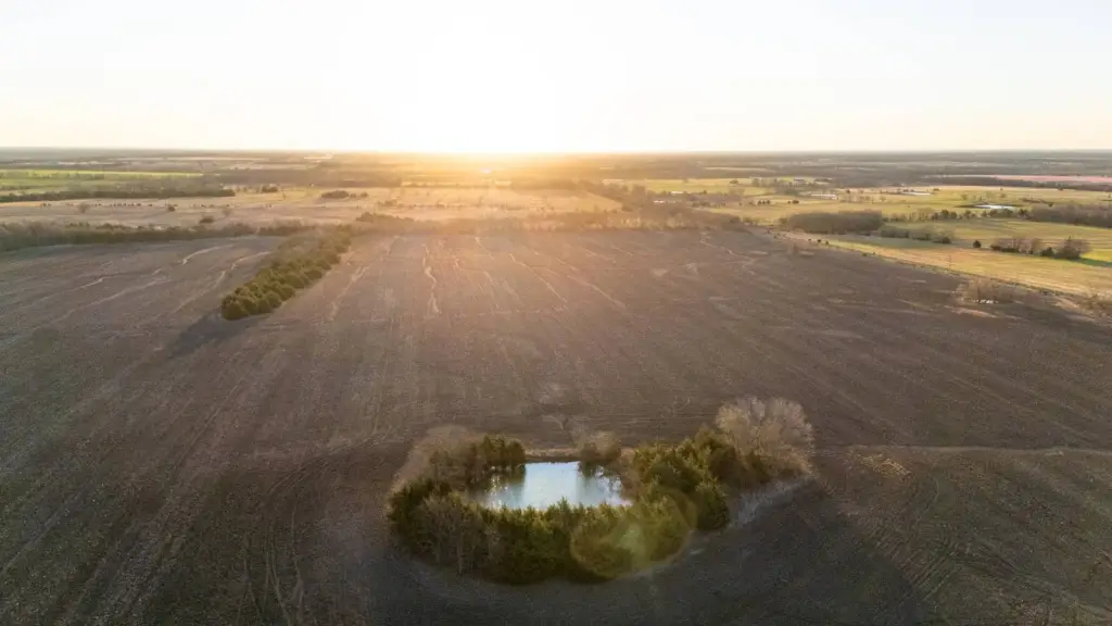
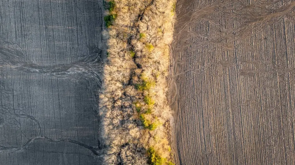
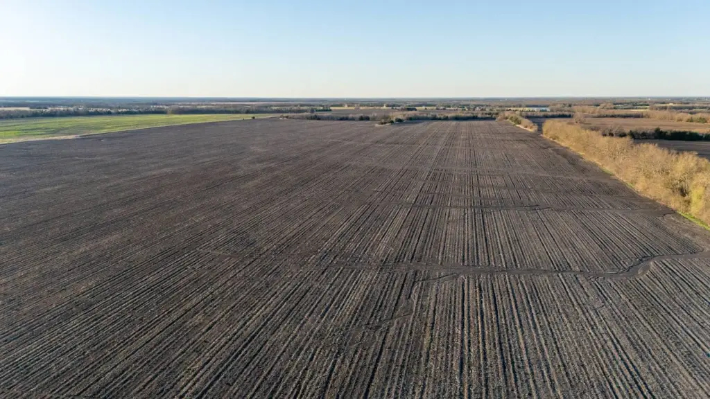
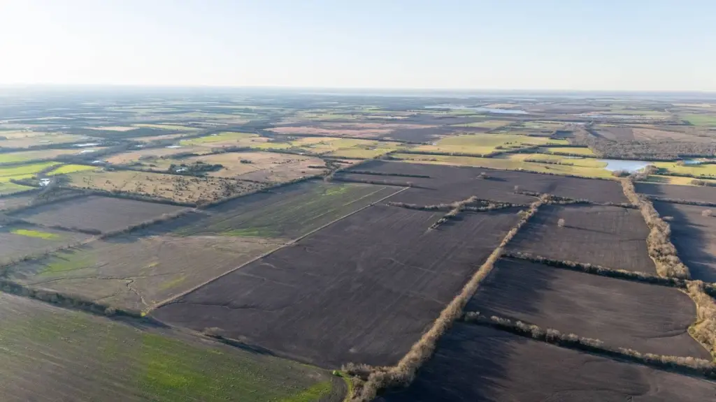
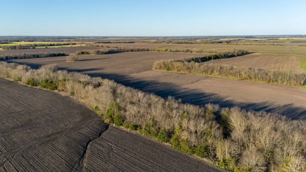
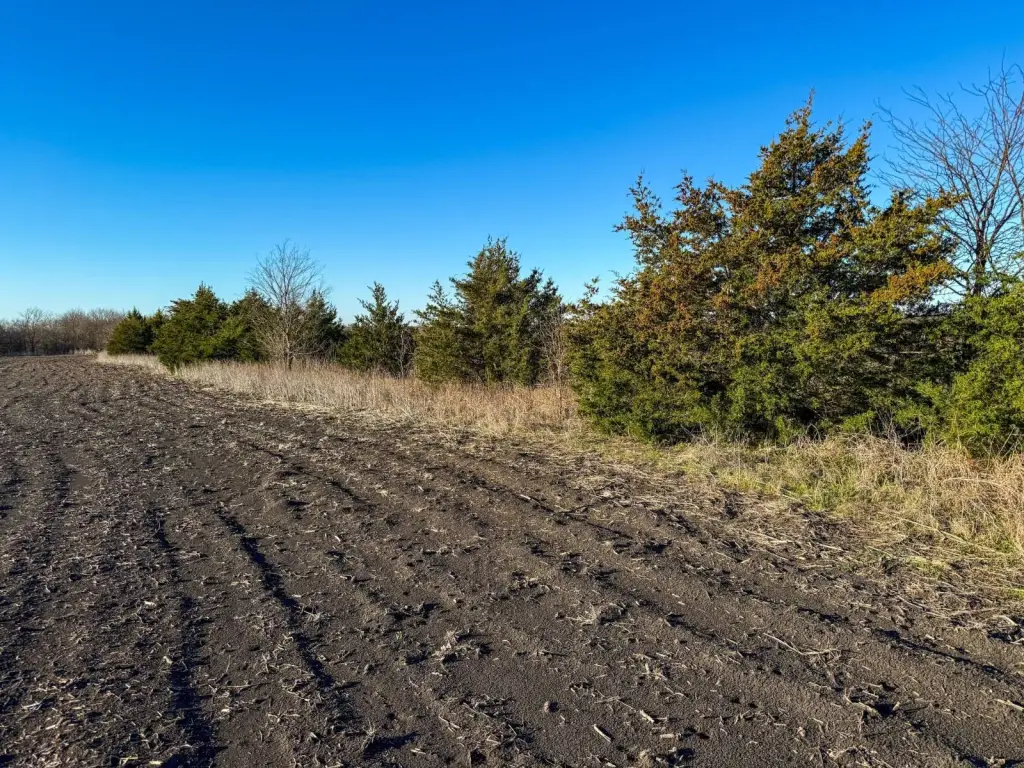
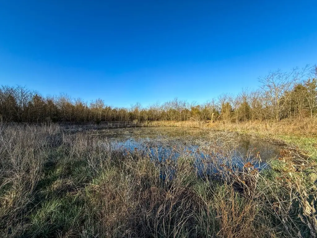
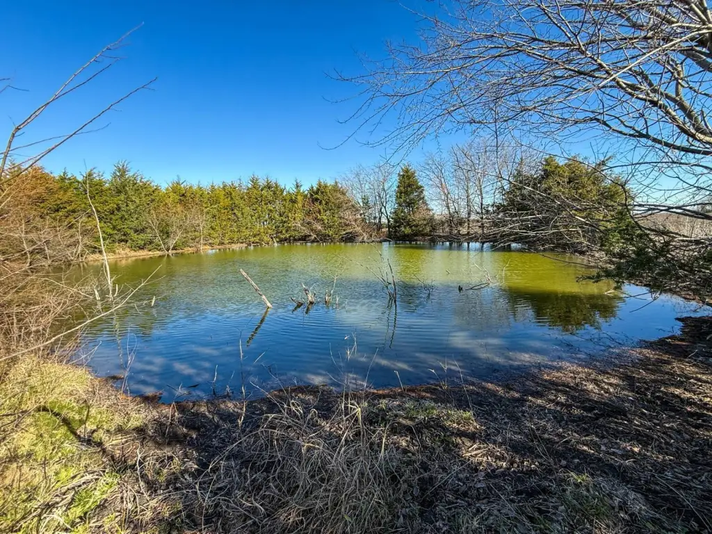
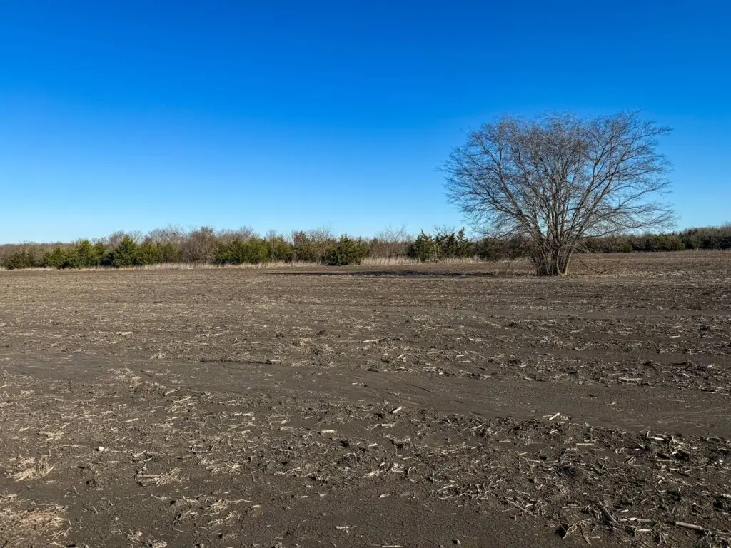
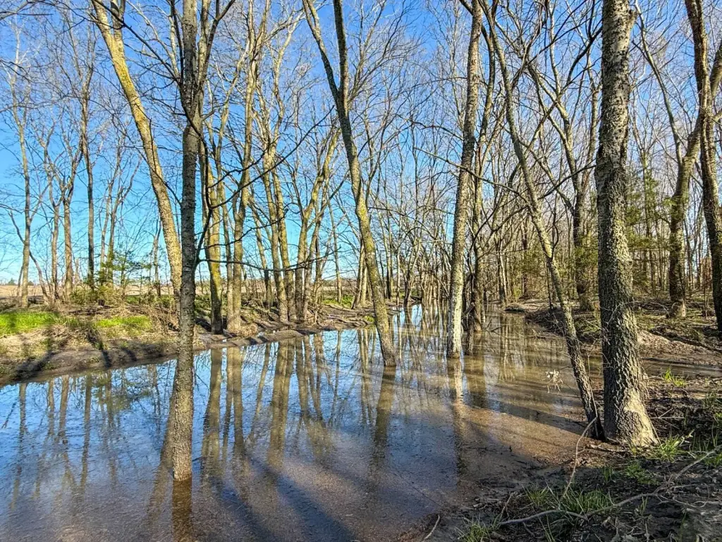
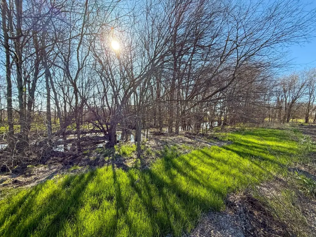
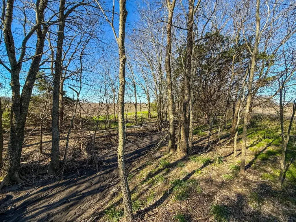
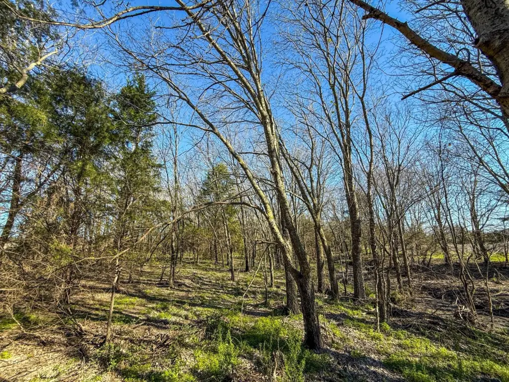
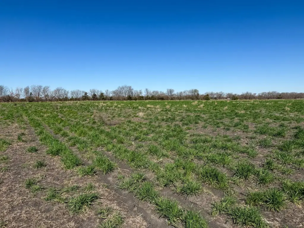
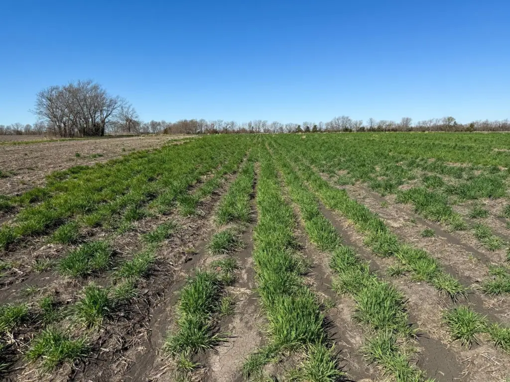
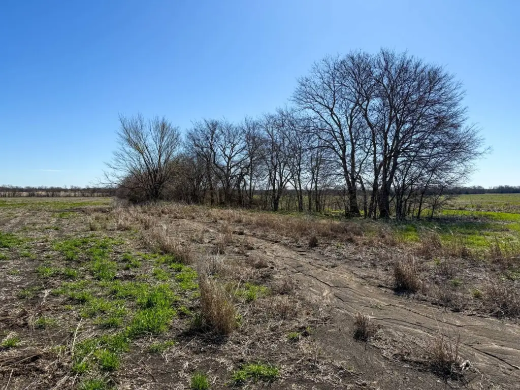
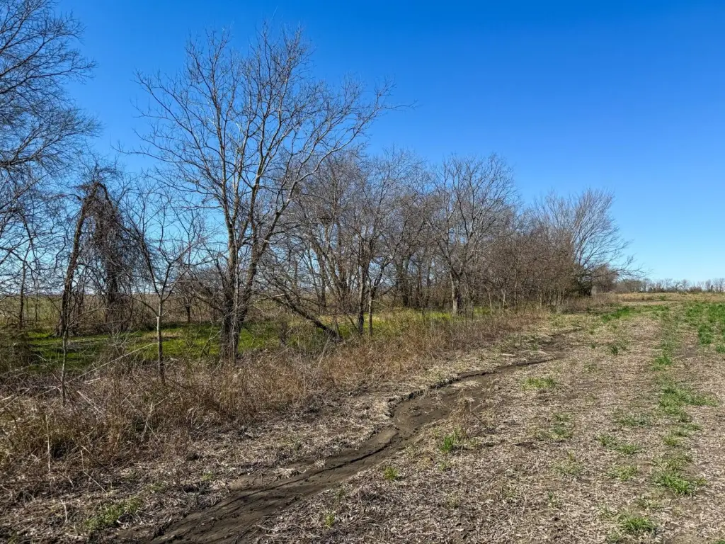
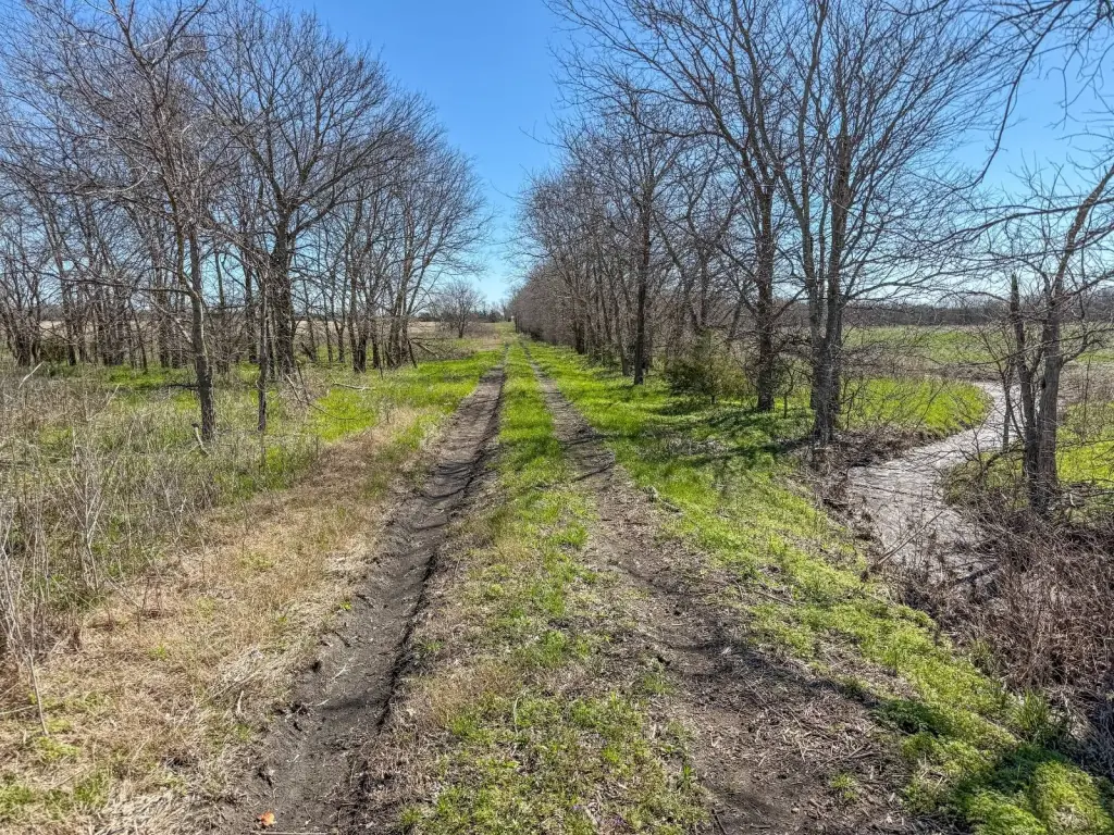
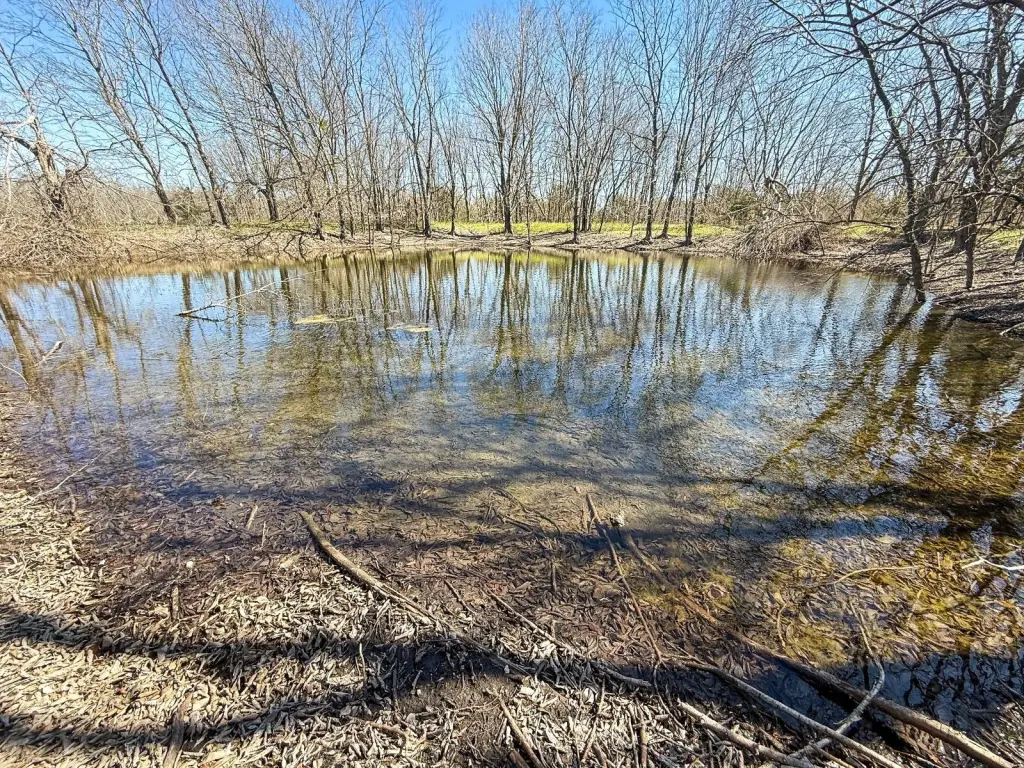
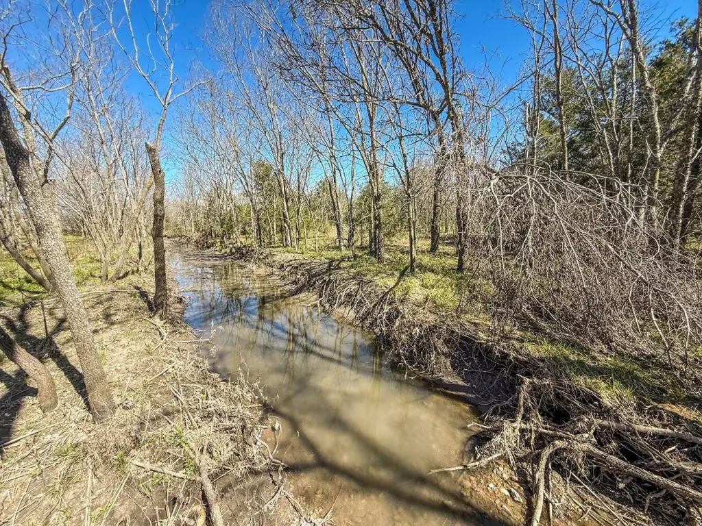
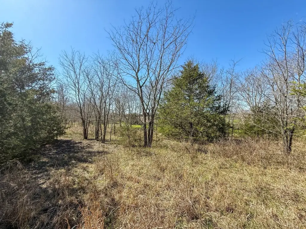
- 575.42 +/- acre Delta County, Texas farm with multiple creeks and four ponds, including the East Fork of Big Creek through the east side
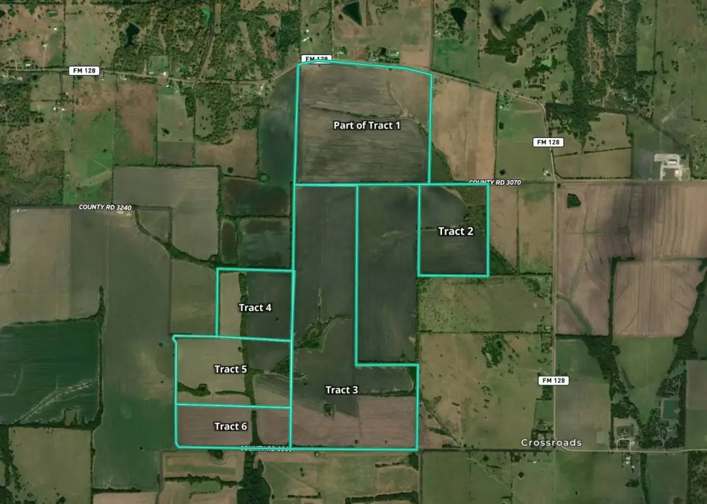
- Approximately 0.5 +/- miles of paved road frontage on FM 128, plus 0.45 +/- miles on CR 3070 and 0.5 +/- miles on CR 3060
- Utilities available: 4‑foot water line and 3‑phase electric along FM 128
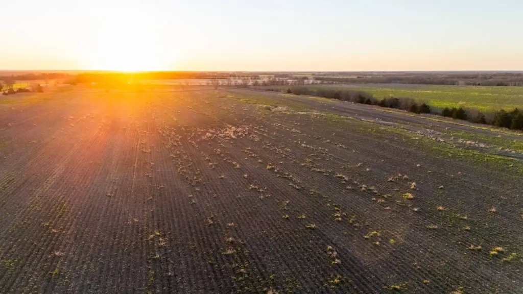
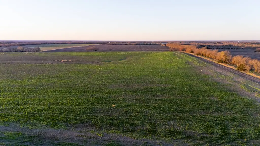
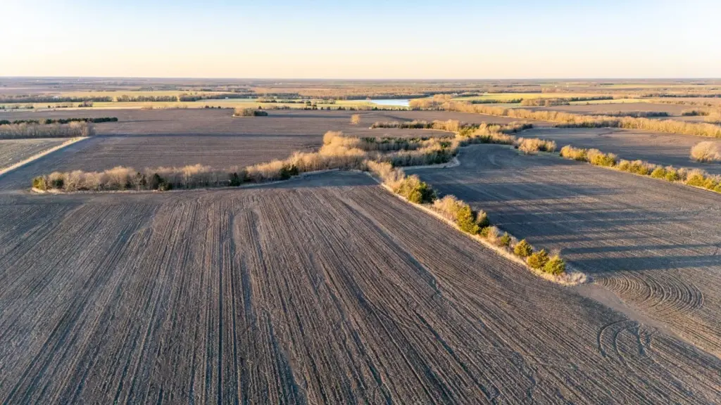
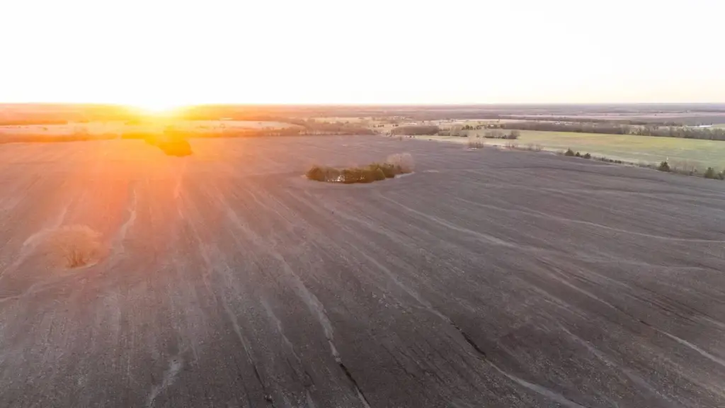
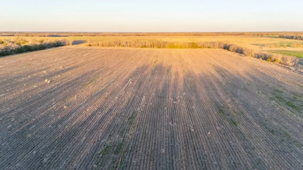
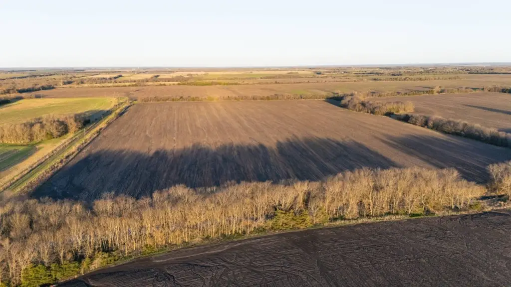
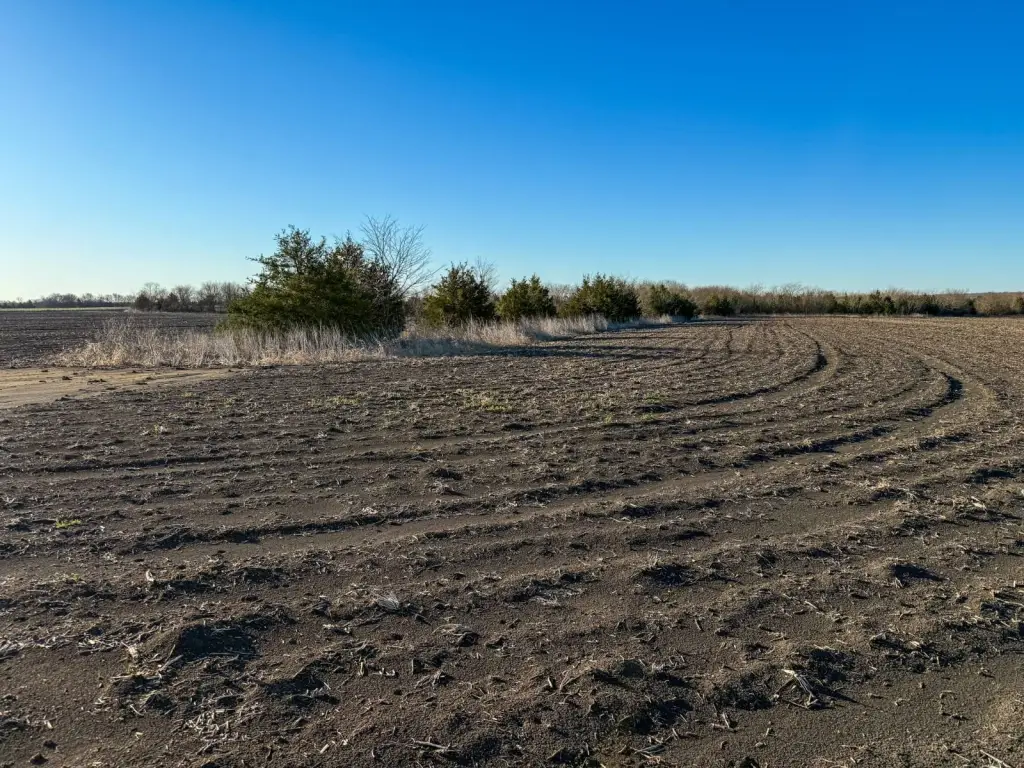
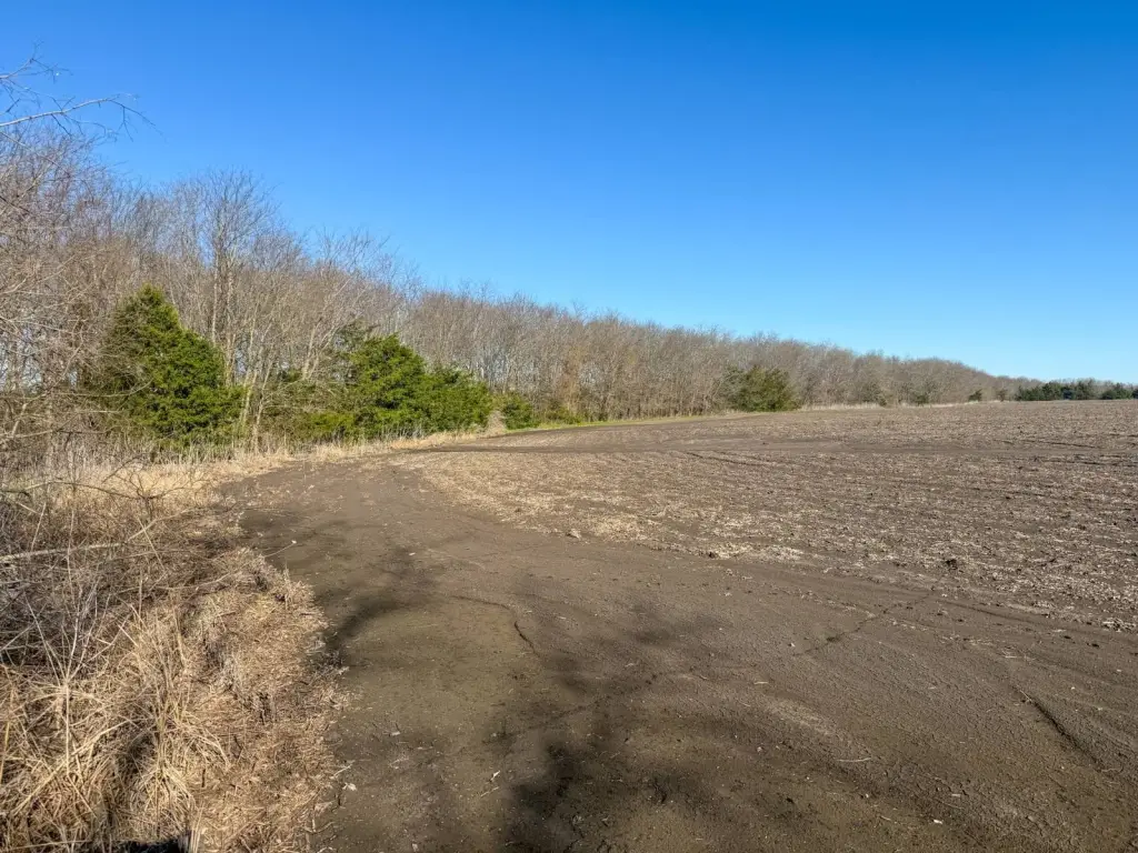
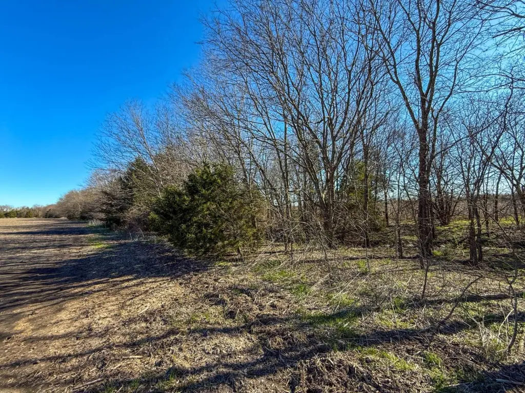
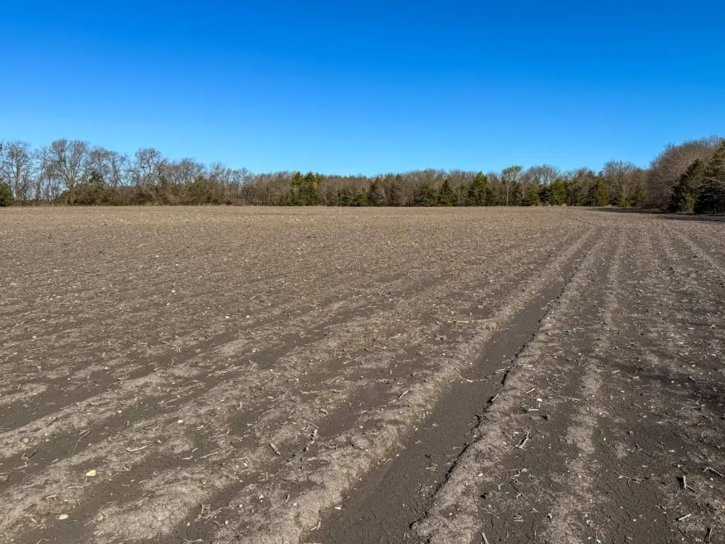
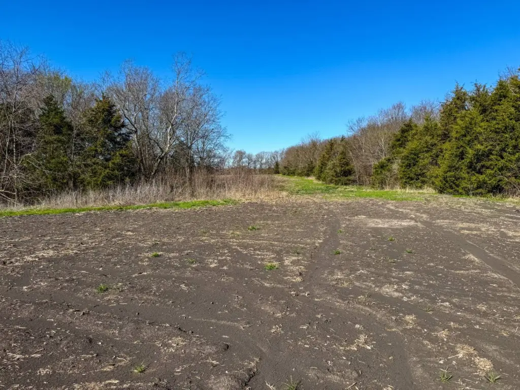
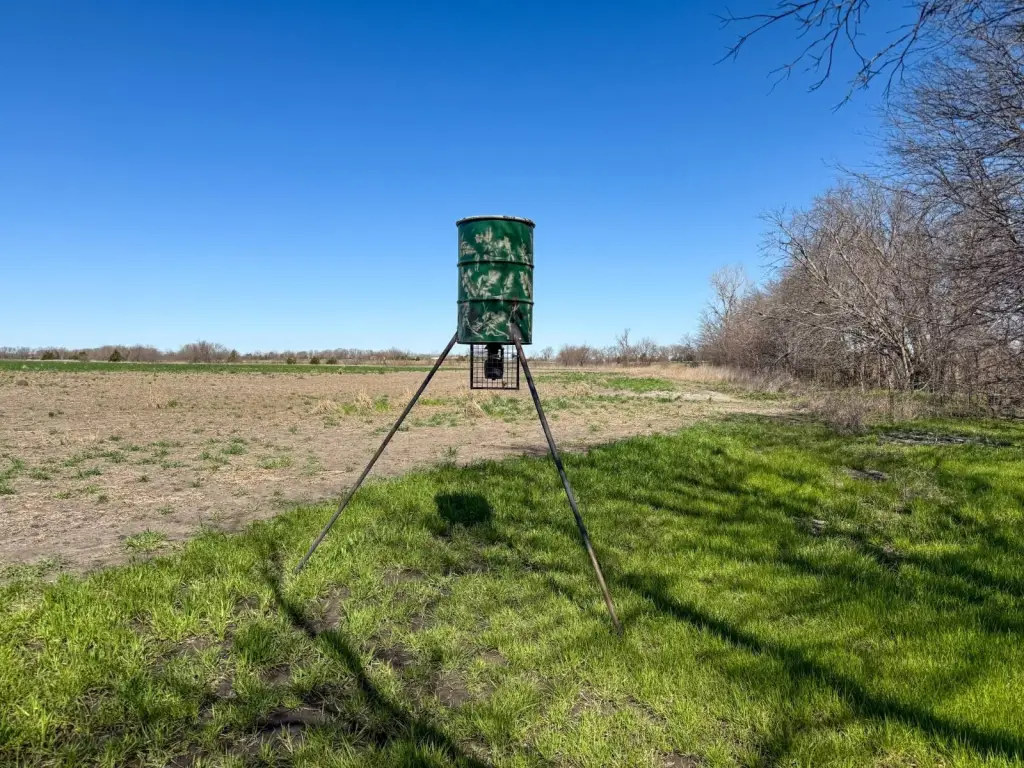
- Currently farmed for corn, soybeans, and winter wheat; primarily Class 2 tillable ground
- Soils report available via document link (buyers should independently verify boundaries with a survey)
- Can be purchased as a whole or by individual tracts; location is about 13 minutes to Cooper and 20 minutes to Jim Chapman Lake
Overview
The property provides approximately 0.5 +/- miles of paved road frontage along FM 128, along with about 0.45 +/- miles of county road frontage on CR 3070 and approximately 0.5 +/- miles of road frontage along CR 3060 to the south. Utilities are available, including a 4-foot water line and 3-phase electric along FM 128, supporting a range of land uses.
This site can be purchased as a whole or by individual tracts. For buyers seeking ongoing crop production, the combination of tillable ground and established water resources can support continued agricultural use. For those planning future land development or recreational uses, the property’s water features, existing access, and utility availability may provide useful flexibility. Soils reporting is available via the document link provided, and all showings are by appointment only. Boundary lines shown are approximate and intended for general reference.
Current Use by Public Records
Map
- City
- Ben Franklin
- County
- Delta
- State
- Texas
- Longitude
- -95.768851
- Latitude
- 33.476774