Irrigated Pasture Farm
For Sale
$800,000
NHN Highway 10 E, Clinton, MT 59825
LAND - Clinton, MT
Lot Size46.31 Acres
Days on Market48
Property Features for NHN Highway 10 E
General Information
Property type
Land
Property subtype
Other
Zoning description
Unzoned
Lot features
Agricultural, Meadow, Pasture, Wooded
View
Mountains
Directions
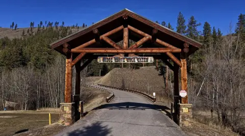
I-90 to Clinton, north over the overpass. Head east onto the frontage road. Turn right at Clinton Market to continue on to the frontage road. Take a left at the directional into the driveway.
Standard status
Active
APN
04209535201010000
Lot size
46.31 Acres
Taxes and HOA fees
Tax Year
2025
Tax Description
S35, T12 N, R17 W, TRACT IN NW4 35-12-17 S26, T12 N, R17 W, C.O.S. PLAT A', TRACT IN SW1/4 PLAT A' 26-12-17 7.38AC
Tax Annual Amount
513
Legal Description
S35, T12 N, R17 W, TRACT IN NW4 35-12-17 S26, T12 N, R17 W, C.O.S. PLAT A', TRACT IN SW1/4 PLAT A' 26-12-17 7.38AC
Utilities
Water front features
Waterfront
Water front
1
Listing Agency:
Glacier Sotheby's International Realty Missoula
(406) 541-7020
Listed By:
Megan Twohig · License #RRE-BRO-LIC-77676
(406) 370-2895
Added: Jun 16
Changed: Aug 2
Last Checked: Aug 2 at 6:06AM
MLS# 30073144
Copyright © 2026 Montana Regional MLS. All rights reserved. All information provided by the listing agent/broker is deemed reliable but is not guaranteed and should be independently verified.
Investment Insights
Based on property information with market context.
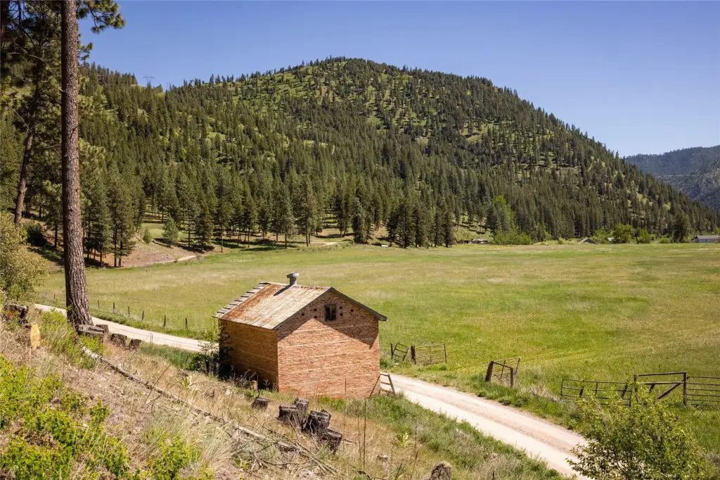
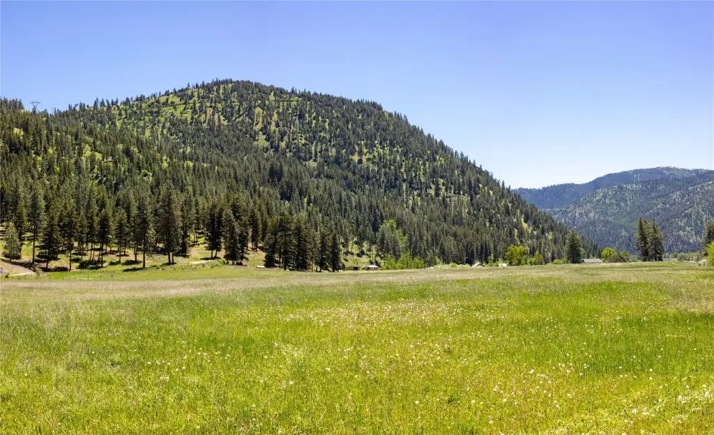
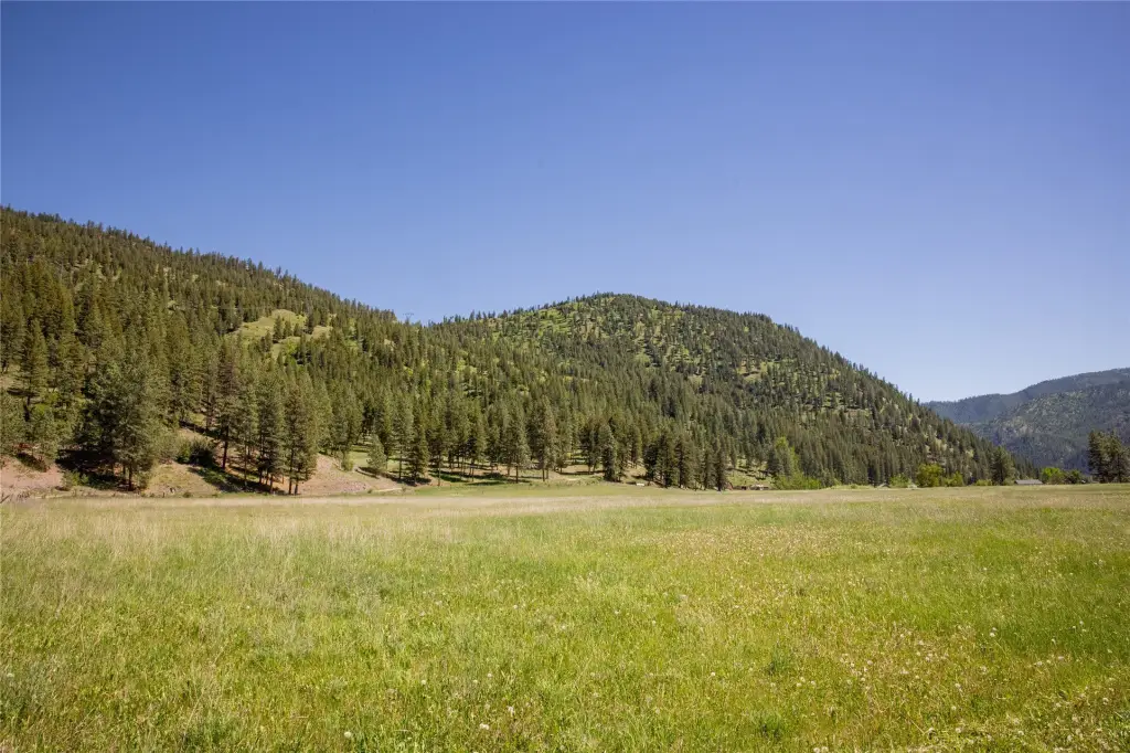
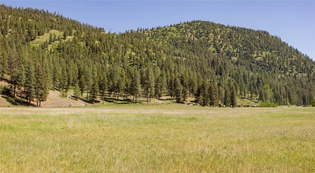
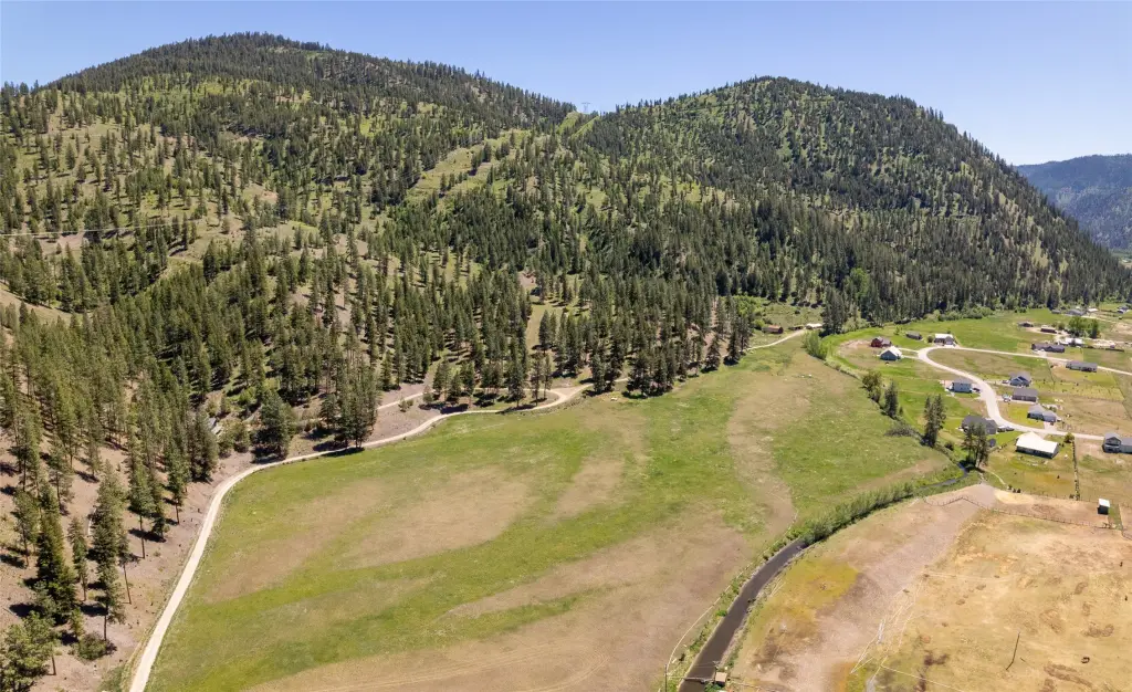
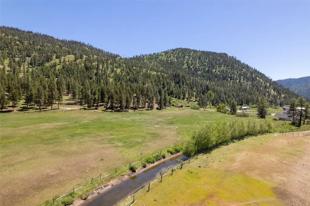
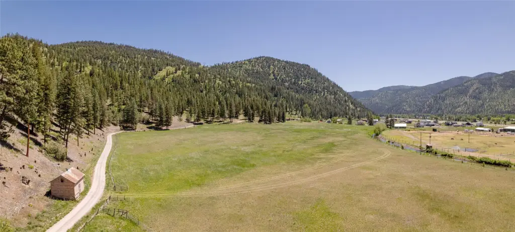
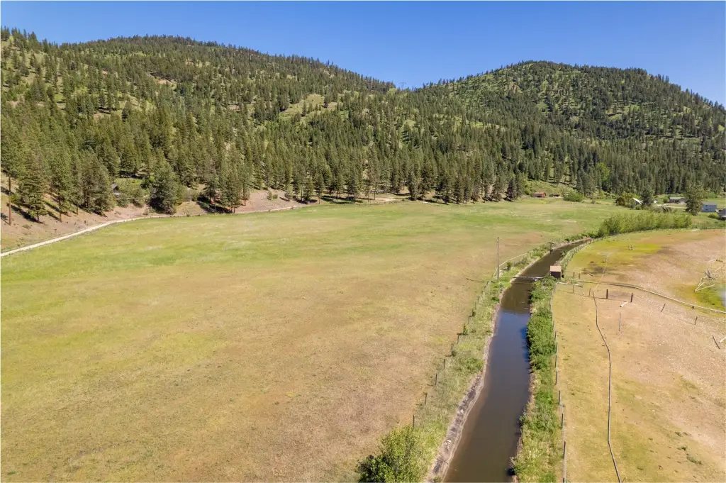
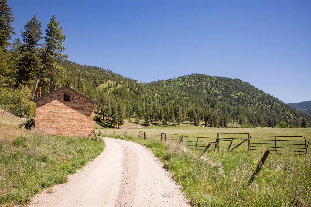
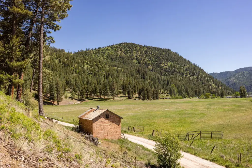
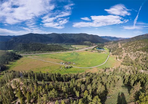
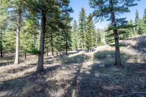
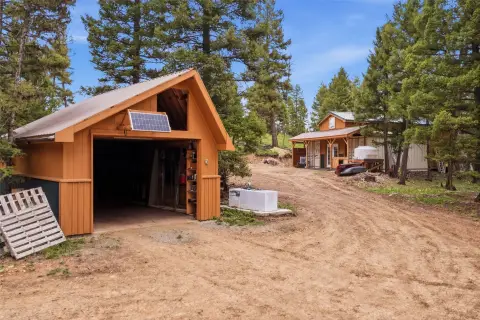
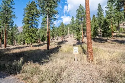
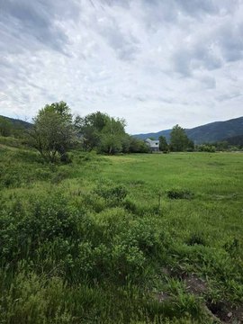
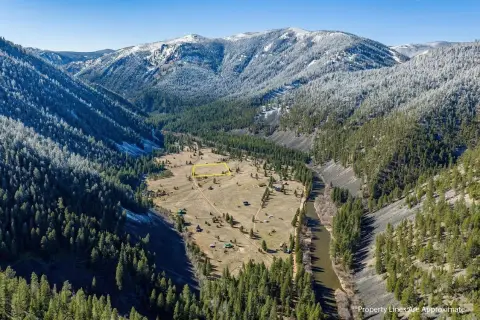
Farm property totaling 46.31 acres and offered as unzoned land near Clinton, Montana. The property features irrigated pastures across much of the acreage, bordered by an irrigation ditch with valuable water rights included. Approximately one-third of the land is a wooded hillside.
Surrounded by protected lands, including neighboring The Nature Conservancy property and state land beyond, the acreage offers a secluded feel while staying highly accessible. Outdoor recreation opportunities are available on-site, including hunting, horseback riding, and hiking.
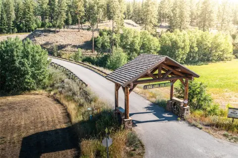
Access is described as convenient, with interstate access and a quick drive to town, and the property is less than 20 minutes from Missoula. Address: NHN Highway 10 E, Clinton, MT 59825.
Surrounded by protected lands, including neighboring The Nature Conservancy property and state land beyond, the acreage offers a secluded feel while staying highly accessible. Outdoor recreation opportunities are available on-site, including hunting, horseback riding, and hiking.
Access is described as convenient, with interstate access and a quick drive to town, and the property is less than 20 minutes from Missoula. Address: NHN Highway 10 E, Clinton, MT 59825.
Key Highlights
- 46.31‑acre unzoned farm property
- Irrigated pastures across much of the land
- Irrigation ditch with valuable water rights included
Property Analytics
Property Profile
Current Use
Lease Details
Yes
Highway access
Yes
Water rights
Location Intelligence
Trade Area within ½ mile
1
Businesses Nearby
Explore this area
Business Placement
Demographics for 59825, MT
2,450
Population
1,174
Households
2.1
Avg Household Size
43
Median Age
26%
College-Educated
94%
High-School Grad
415.3 sq mi
ZIP Area
6
Density / Sq Mi
$85,268
Median Household Income
$44,254
Median Earnings
$1,141
Median Rent
$327,800
Median Home Value

Questions? Ask Rey
Realmo’s AI knows this listing — price, zoning, demand, history. Ask anything.


Frequently Asked Questions
What type of property is this?
Farm - Unzoned 46.31-acre farm with irrigated pastures, an irrigation ditch with water rights, and a wooded hillside.
Where is this farm located?
The property is located at NHN Highway 10 E Clinton, MT.
What is the asking price?
The asking price for this property is $800,000.
What are key features of this property?
This property features: 46.31‑acre unzoned farm property; Irrigated pastures across much of the land; Irrigation ditch with valuable water rights included


