5933 W Hwy 53, Rathdrum, ID 83858

- Added:
- Jul 1, 2026
- Days on Market:
- 2
- Last Refresh:
- Jul 2 at 4:06 pm
Property Features for 5933 W Hwy 53
General Information
- Property type
- Commercial Sale
- Property subtype
- Other
- Zoning
- C-2
- Standard status
- Active
- APN
- RL8560080010
- Lot size
- 0.95 Acres
Taxes and HOA fees
- Tax Year
- 2025
- Tax Description
- HADLEY MEADOWS 2ND ADD, LT 1 BLK 8 2952N04W
- Tax Annual Amount
- 1998
Utilities
- Sewer type
- Public Sewer
- Water source
- Public

Listing agent Donnie Murrell License #SP32784 (208) 758-7539
Listing office Berkshire Hathaway HomeServices Jacklin Real Estate 1927 W Riverstone Drive, COEUR D ALENE, ID (208) 758-7474
Listing date Jul 1, 2026
Copyright © 2026 Coeur d'Alene Multiple Listing Service. All rights reserved. All information provided by the listing agent/broker is deemed reliable but is not guaranteed and should be independently verified.
HighLights
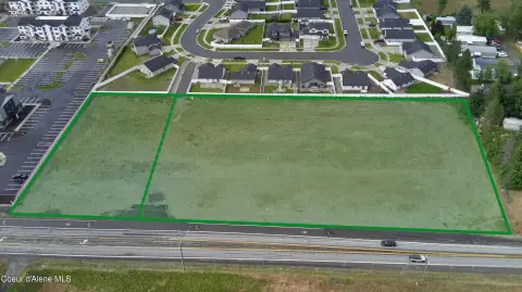
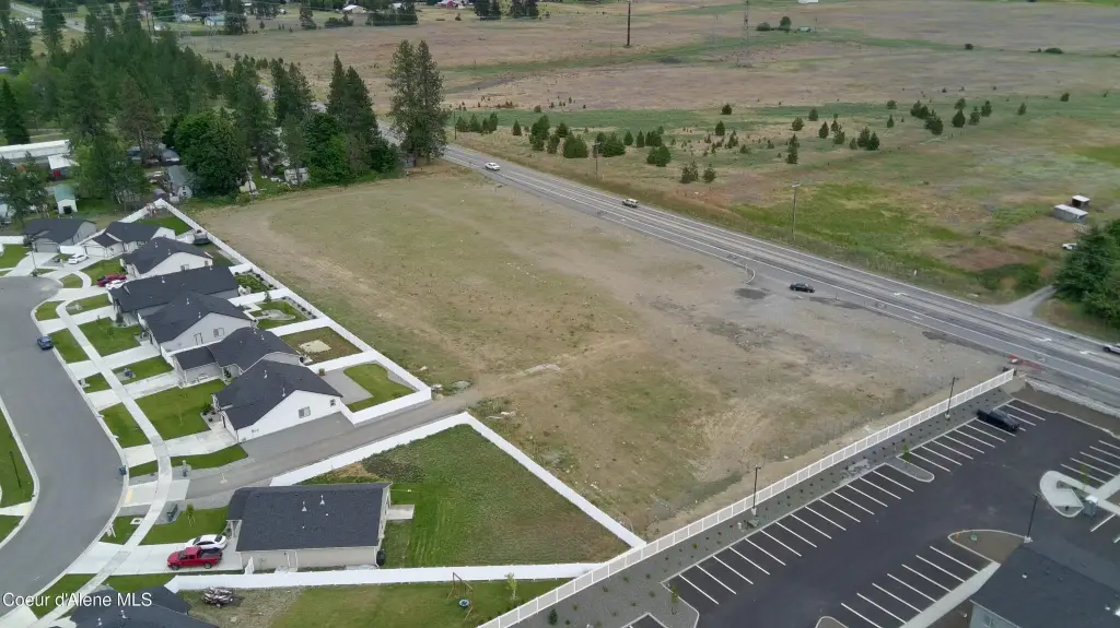
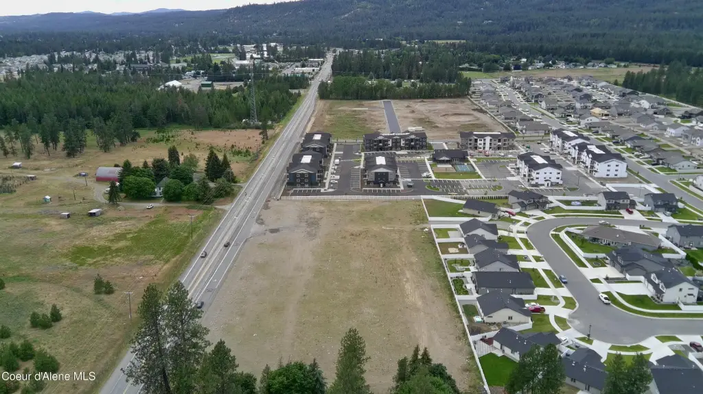
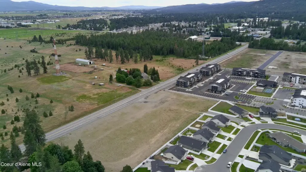
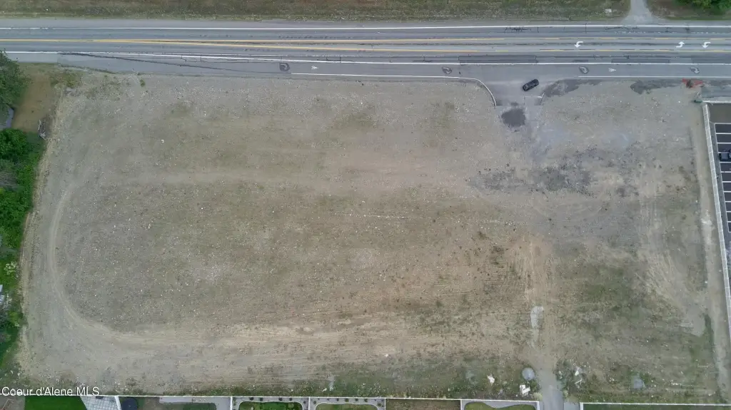
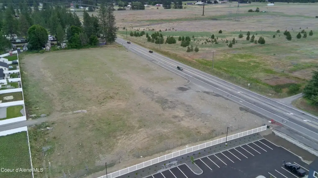
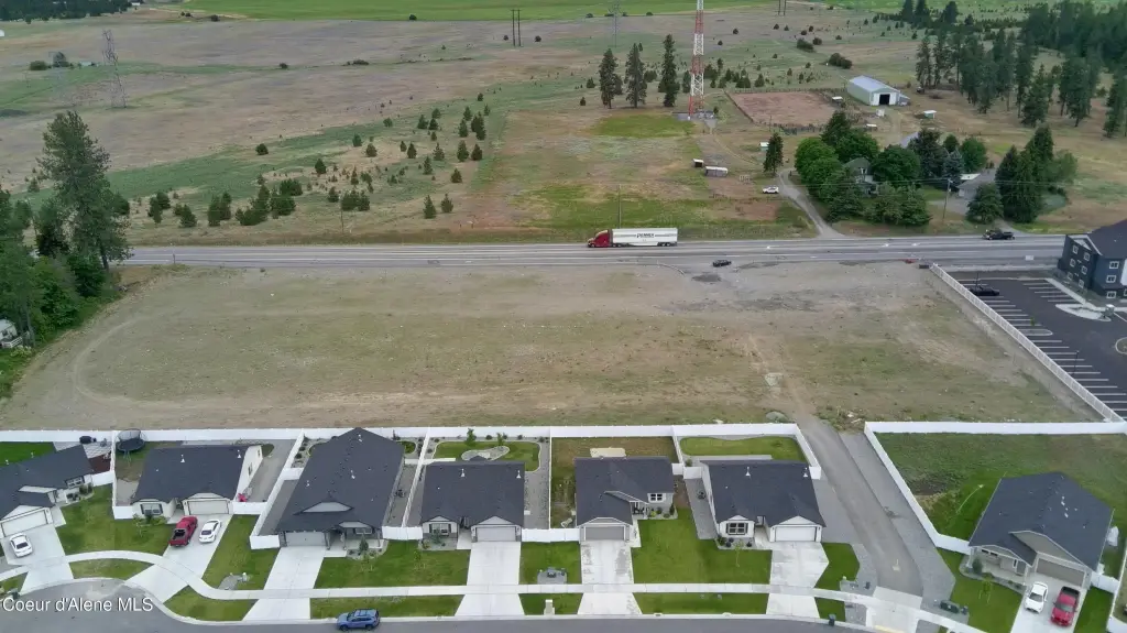
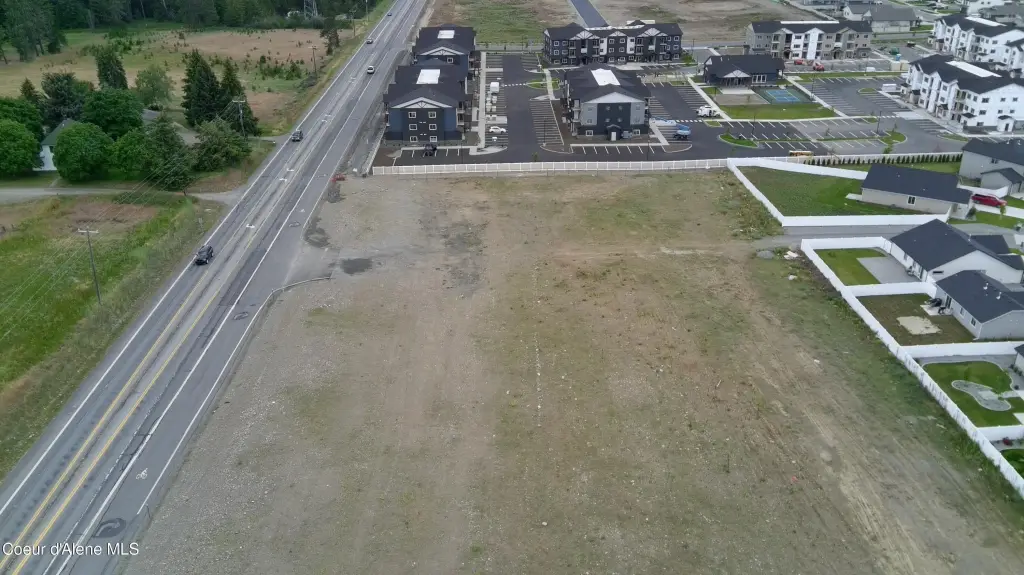
- 0.95‑acre shovel‑ready C‑2 highway pad on State Highway 53 in Rathdrum
- Stripped, mass‑graded, and compacted to subgrade, with an ITD‑approved 40‑ft commercial approach
- Public water and public sewer available to the site
- C‑2 zoning supports a range of highway‑service and retail uses, including drive‑thru/QSR, coffee, convenience, fuel, bank, or small retail
- Over 10,000 vehicles per day pass on the frontage
- Adjacent 2.95‑acre pad at 5851 W Hwy 53 is also available for separate purchase or a combined 3.90‑acre site
Overview
The property fronts State Highway 53, where more than 10,000 vehicles pass per day. It is positioned in a fast-growing trade area and is described as being near Lakeland High and Middle Schools, both within about a mile. Zoning is C-2, which supports a wide range of highway-service and retail uses.
Designed for a single-pad format, the site is well-suited for users seeking direct highway access and the ability to accommodate a drive-through layout. The listing also notes that an adjacent 2.95-acre pad (5851 W Hwy 53) is available, which could allow for expansion by combining parcels into a larger highway site.
Current Use by Public Records
Map
- City
- Rathdrum
- County
- Kootenai
- State
- Idaho
- Longitude
- -116.863188
- Latitude
- 47.817615