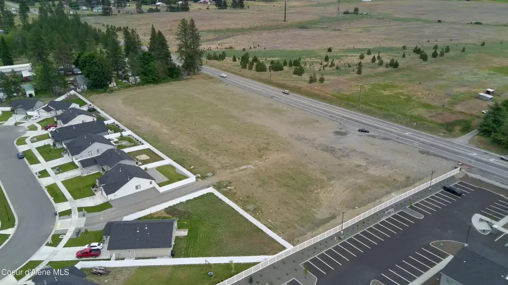
5851 & 5933 W Hwy 53, Rathdrum, ID 83858

- Added:
- Jul 1, 2026
- Days on Market:
- 2
- Last Refresh:
- Jul 2 at 2:06 pm
Property Features for 5851 & 5933 W Hwy 53
General Information
- Property type
- Commercial Sale
- Property subtype
- Other
- Zoning
- C-2
- Standard status
- Active
- APN
- RL8560080010/RL8560080020
- Lot size
- 3.90 Acres
Taxes and HOA fees
- Tax Year
- 2025
- Tax Description
- HADLEY MEADOWS 2ND ADD, LT 1 BLK 8 2952N04W & HADLEY MEADOWS 2ND ADD, LT 2 BLK 8 2952N04W
- Tax Annual Amount
- 7643
Utilities
- Sewer type
- Public Sewer
- Water source
- Public

Listing agent Donnie Murrell License #SP32784 (208) 758-7539
Listing office Berkshire Hathaway HomeServices Jacklin Real Estate 1927 W Riverstone Drive, COEUR D ALENE, ID (208) 758-7474
Listing date Jul 1, 2026
Copyright © 2026 Coeur d'Alene Multiple Listing Service. All rights reserved. All information provided by the listing agent/broker is deemed reliable but is not guaranteed and should be independently verified.
HighLights
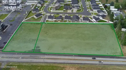
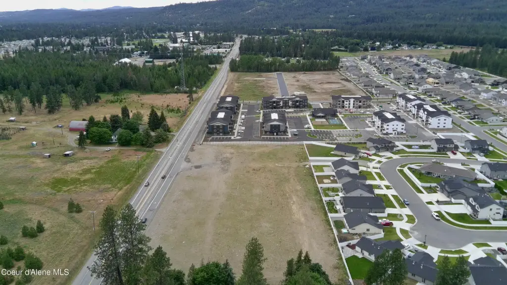
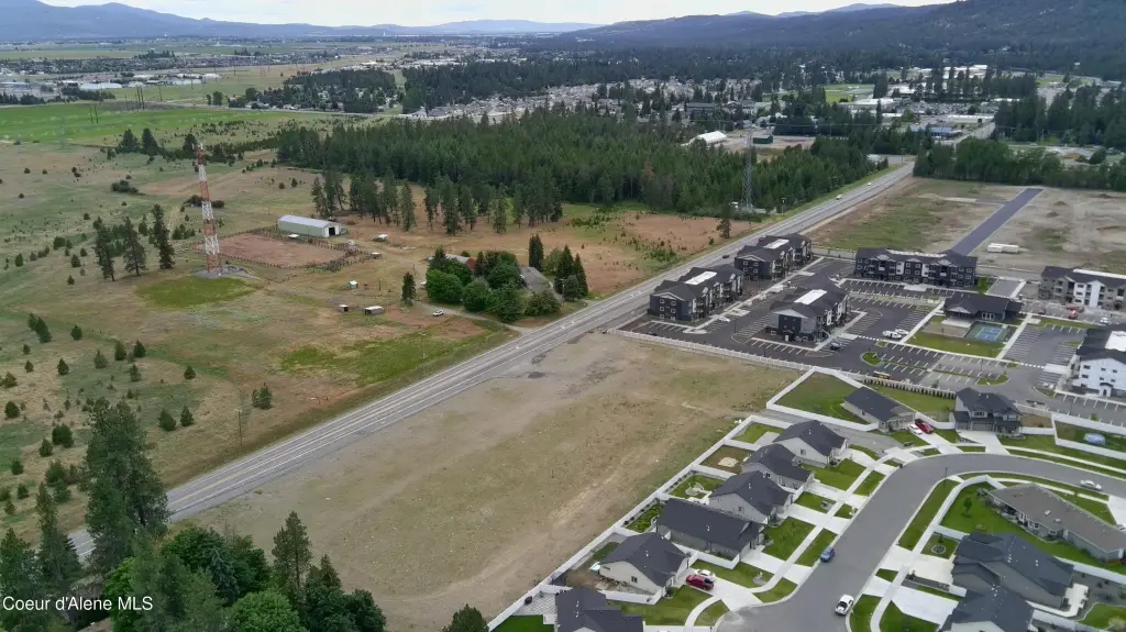
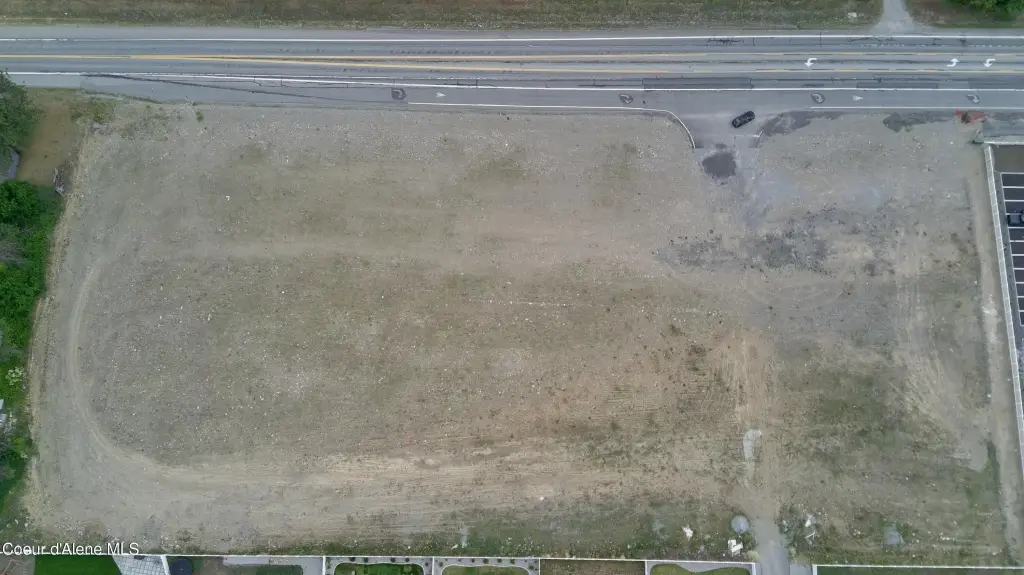
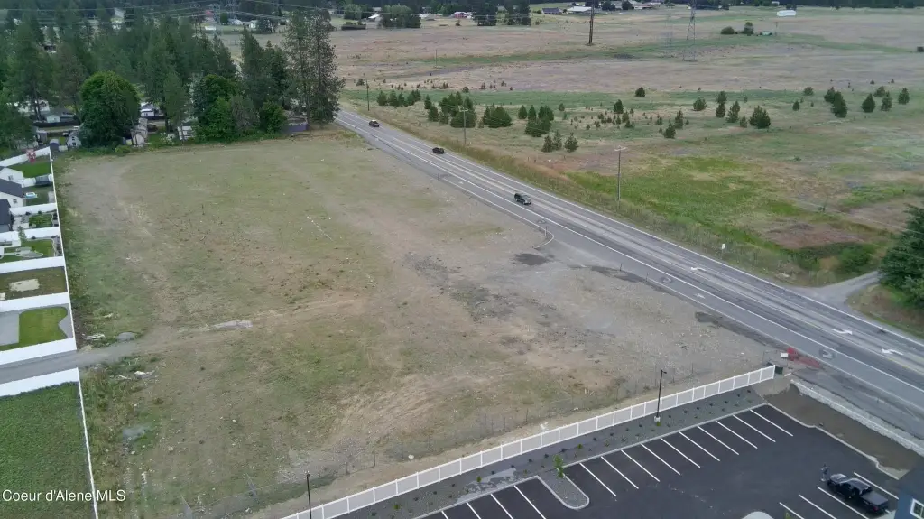
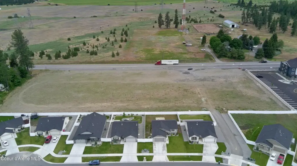
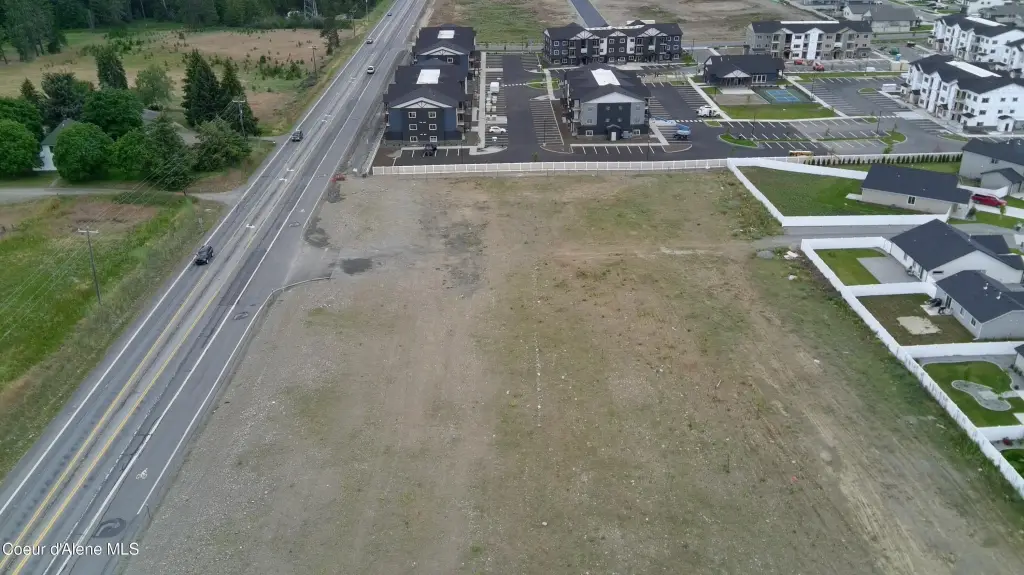
- Two adjacent C‑2 commercial pads totaling 3.90 acres on State Highway 53 in Rathdrum—available together or individually
- Pad‑ready sites stripped, mass‑graded, and compacted to a buildable subgrade, with ITD‑approved 40‑ft commercial highway approach
- Public water and public sewer to the site
- Traffic count on the frontage: about 7,458 vehicles per day
- C‑2 zoning allows hotel, fuel/convenience, restaurant/QSR, car wash, church, bank, and retail uses
- Parcel options: 2.95‑acre pad (5851) or 0.95‑acre pad (5933)
Overview
The property fronts State Highway 53 in Rathdrum, Idaho. The frontage is reported at approximately 7,458 vehicles per day. The surrounding trade area is described as a growing, affluent market, including approximately 13,100 residents within a mile (up 30% since 2020) and about 91,500 residents within five miles.
C-2 zoning supports a range of commercial uses including hotel, fuel/convenience, restaurant/QSR, car wash, church, bank, and retail. With two separately purchasable pads, the land can accommodate a single larger highway-oriented development or separate projects, depending on your site plan and tenant requirements.
Current Use by Public Records
Map
- City
- Rathdrum
- County
- Kootenai
- State
- Idaho
- Longitude
- -116.910184
- Latitude
- 47.805481