Rural Residential Building
For Sale
$399,000
Pending
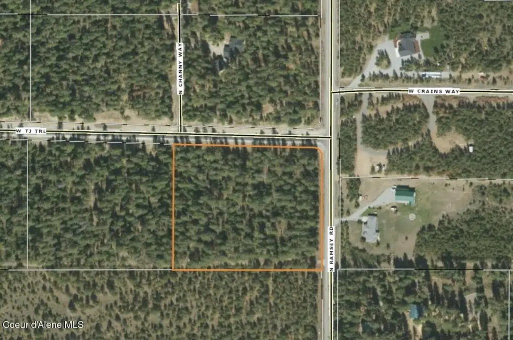
NNA Lot 4 TJ Trail, Athol, ID 83801
Land, Athol, ID
Property SizeContact for details
Lot Size5.82 Acres
Days on Market73
Property Features for NNA Lot 4 TJ Trail
General Information
Property type
Land
Property subtype
Other
Zoning
Rural
Lot features
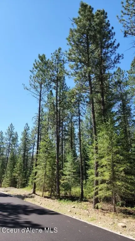
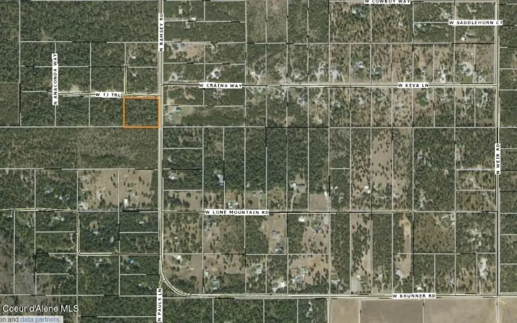
Corner Lot, Level, Wooded
View
Territorial
Elementary school district
Lakeland - 272
Middle school district
Lakeland - 272
High school district
Lakeland - 272
Directions
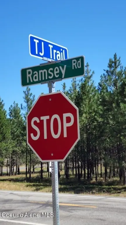
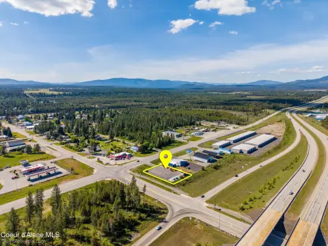
Hwy 95, West on Brunner, North on Ramsey 1/3 mile on TJ on west side of Ramsey.
Subdivision
04 - Rathdrum/Twin Lakes
Standard status
Pending
APN
0L6960010040
Lot size
5.82 Acres
Taxes and HOA fees
Tax Year
2025
Tax Description
Tee Squared Ranch, LT 4 BLk 1 2753N 04W
Tax Annual Amount
1174
Legal Description
Tee Squared Ranch, LT 4 BLk 1 2753N 04W
Utilities
Sewer type
Septic Tank
Water source
Well
Listing Agency:
CENTURY 21 Beutler & Associates · Century 21 Real Estate
(208) 765-5554
Listed By:
Tom Torgerson · License #AB18781
(208) 640-8086
Added: Jun 12
Changed: Aug 19
Last Checked: Aug 23 at 4:06AM
MLS# 26-6060
Copyright © 2026 Coeur d'Alene Multiple Listing Service. All rights reserved. All information provided by the listing agent/broker is deemed reliable but is not guaranteed and should be independently verified.
Investment Insights
Based on property information with market context.
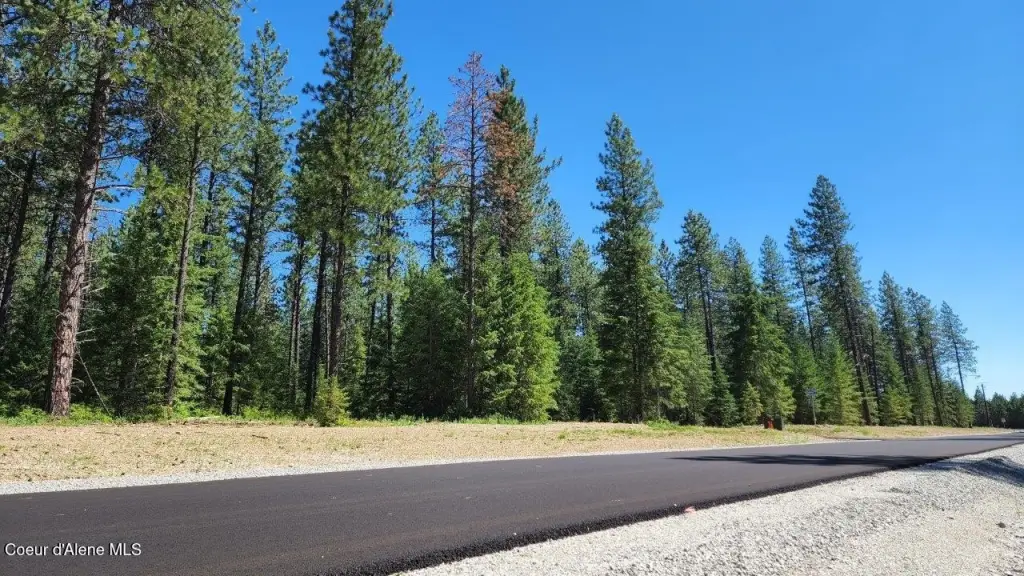
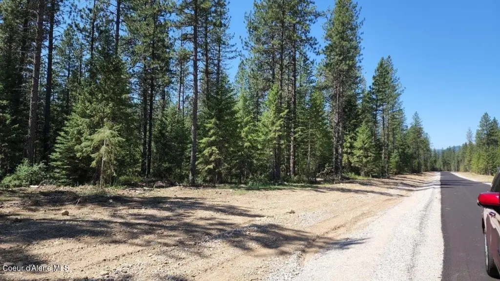
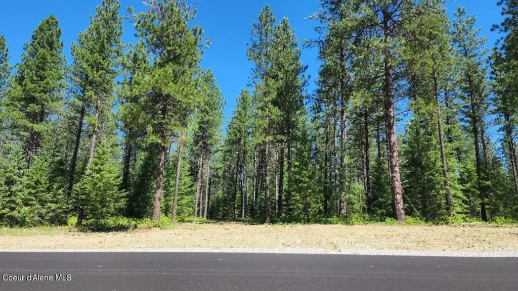
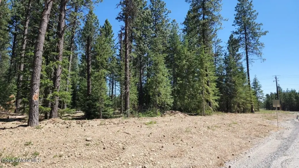
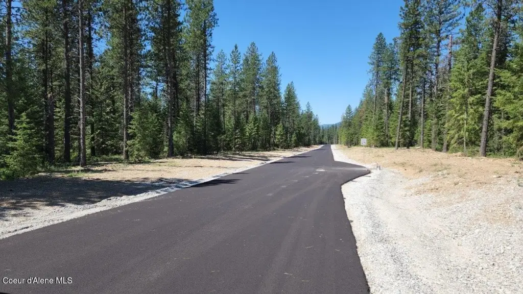
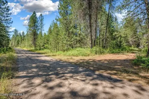
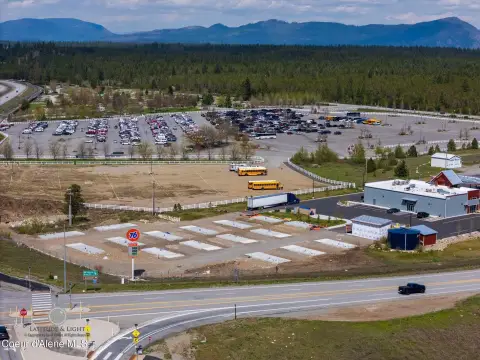
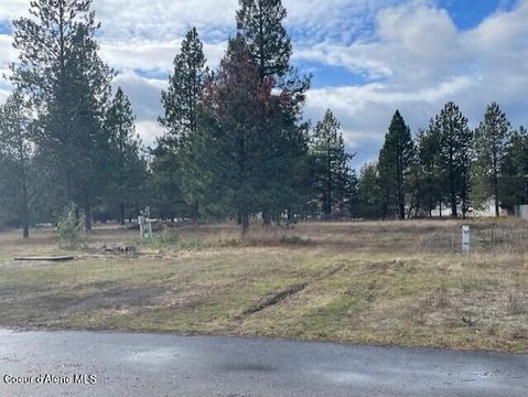
This rural residential building lot consists of 5.82 acres and features mature forest. The parcel is described as never logged and is positioned for future construction with an owner/builder option.
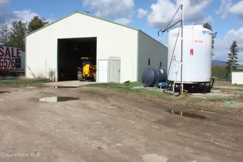
Power is provided by Kootenai Electric, and conduits have been installed throughout the development for future additional fiber and low-voltage use. A shared well and water system is supplied from the aquifer, with 6,000 gallons of water storage and a distribution pump installed.
Water distribution infrastructure is in place for the development, and the listing notes a $7,000 water hookup fee. Kootenai County Title Company is identified as the closing and title insurance party.
Power is provided by Kootenai Electric, and conduits have been installed throughout the development for future additional fiber and low-voltage use. A shared well and water system is supplied from the aquifer, with 6,000 gallons of water storage and a distribution pump installed.
Water distribution infrastructure is in place for the development, and the listing notes a $7,000 water hookup fee. Kootenai County Title Company is identified as the closing and title insurance party.
Key Highlights
- Nearly 6‑acre parcel with mature forest and never logged forestland
- Shared well and water system in the aquifer, plus 6,000‑gallon water storage with distribution pump installed
- Water hookup fee of $7,000
Property Analytics
Property Profile
Current Use
Lease Details
Yes
Utilities to site
Location Intelligence
Trade Area within ½ mile
6
Businesses Nearby
Explore this area
Business Placement
Demographics for 83801, ID
7,501
Population
2,738
Households
2.7
Avg Household Size
48
Median Age
23%
College-Educated
89%
High-School Grad
175.1 sq mi
ZIP Area
43
Density / Sq Mi
$68,719
Median Household Income
$40,245
Median Earnings
$1,238
Median Rent
$495,500
Median Home Value

Questions? Ask Rey
Realmo’s AI knows this listing — price, zoning, demand, history. Ask anything.


Frequently Asked Questions
What type of property is this?
Residential land & home lot - Nearly 6-acre rural parcel with mature forest and shared water infrastructure on an approved development site.
Where is this residential land & home lot located?
The property is located at NNA Lot 4 TJ Trail Athol, ID.
What is the asking price?
The asking price for this property is $399,000.
What are key features of this property?
This property features: Nearly 6‑acre parcel with mature forest and never logged forestland; Shared well and water system in the aquifer, plus 6,000‑gallon water storage with distribution pump installed; Water hookup fee of $7,000



