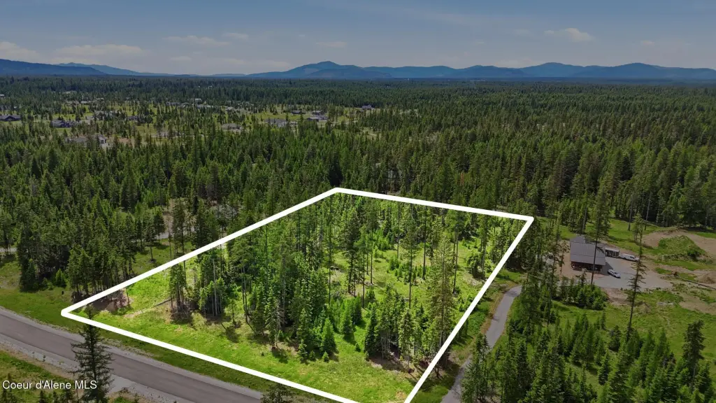
Treed Residential Land
NNA Estate at Farragut Lot 3 Blk 1 Athol, ID 83801
For Sale
$475,000
Pending
LAND - Athol, ID
Lot Size5.66 Acres
Days on Market47
Property Features for NNA Estate at Farragut Lot 3 Blk 1
General Information
- Property type
- Land
- Property subtype
- Other
- Zoning
- County-RUR
- Exterior features
- Timber - Part
- Standard status
- Pending
- APN
- 0L8190010030
- Lot size
- 5.66 Acres
Taxes and HOA fees
- Tax Year
- 2025
- Tax Description
- Estates At Farragut (The), Lt 3 Block 1 0653N02w
- Tax Annual Amount
- 1233
Utilities
- Water source
- Well
Listing Agency:
CENTURY 21 Beutler & Associates
(208) 765-5554
Listed By:
Travis Leavitt · License #SP44076
(208) 916-0011
Added: Jun 9
Changed: Jul 23
Last Checked: Jul 25 at 9:06PM
MLS# 26-5881
Copyright © 2026 Coeur d'Alene Multiple Listing Service. All rights reserved. All information provided by the listing agent/broker is deemed reliable but is not guaranteed and should be independently verified.
Investment Insights
Based on property information with market context.
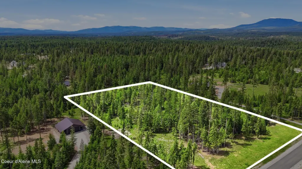
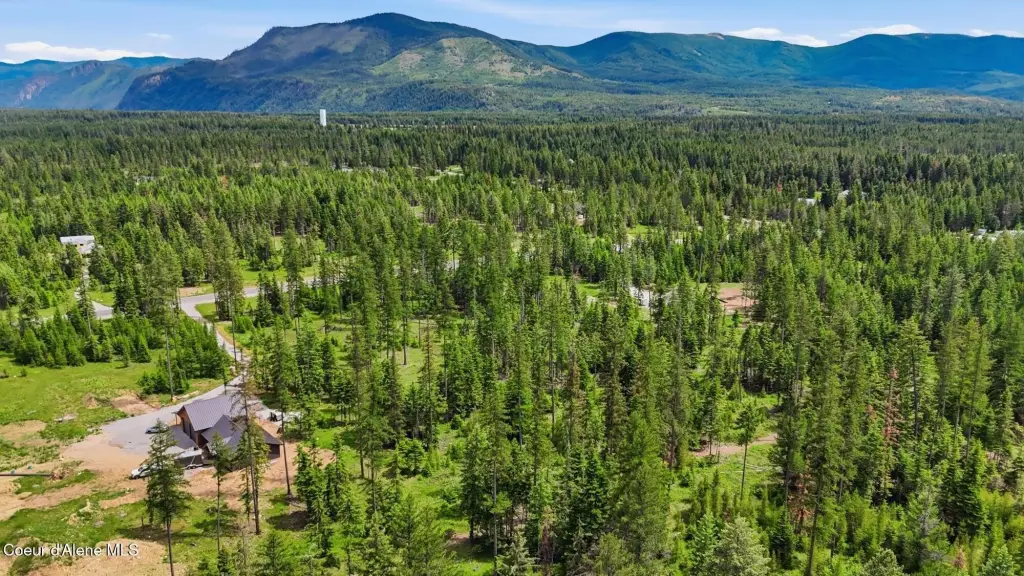
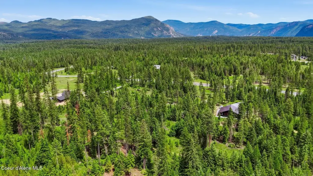
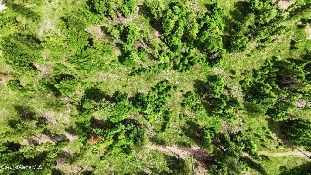
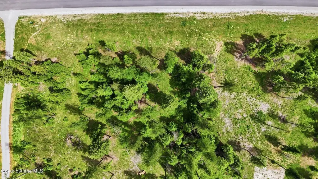
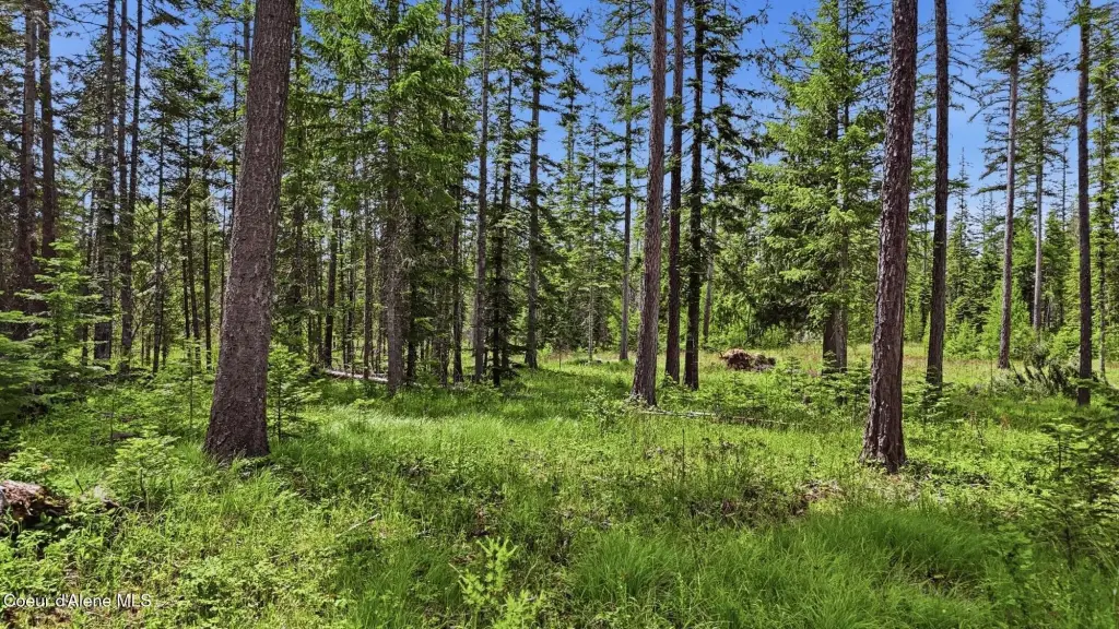
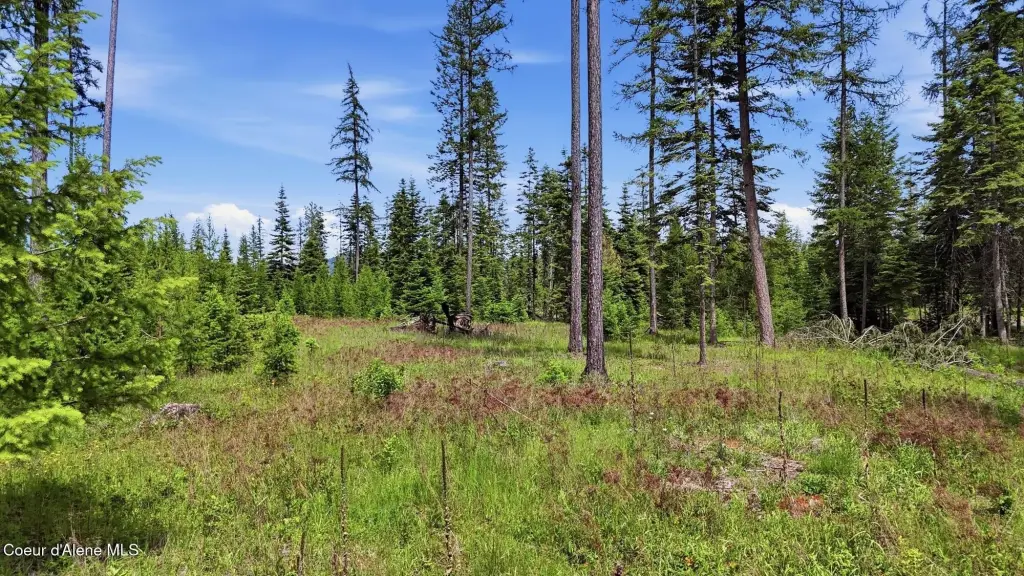
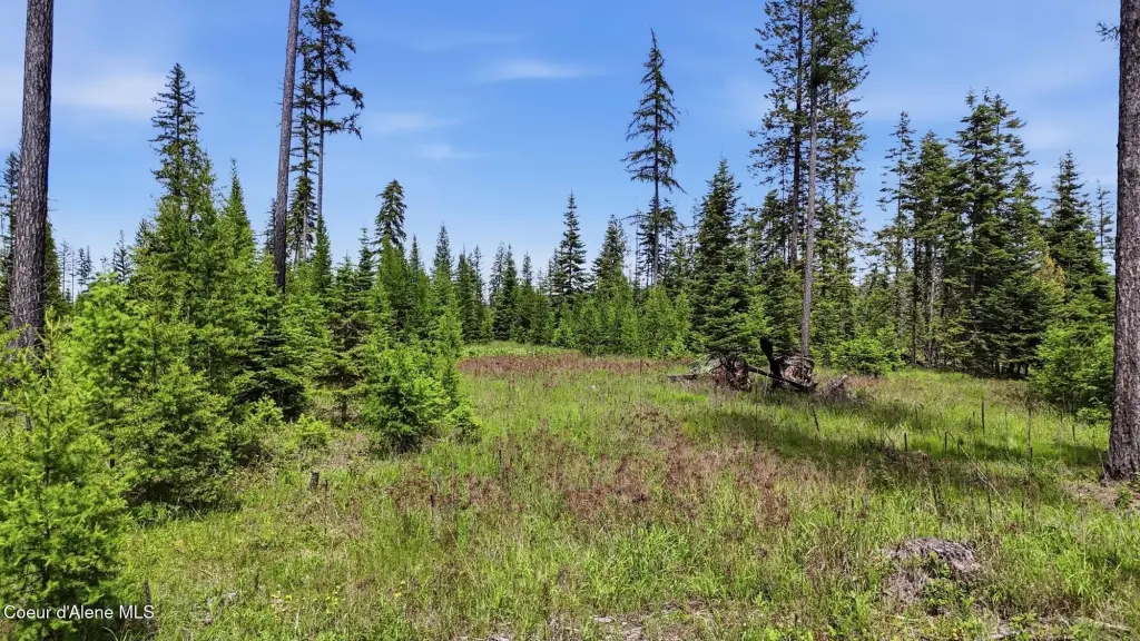
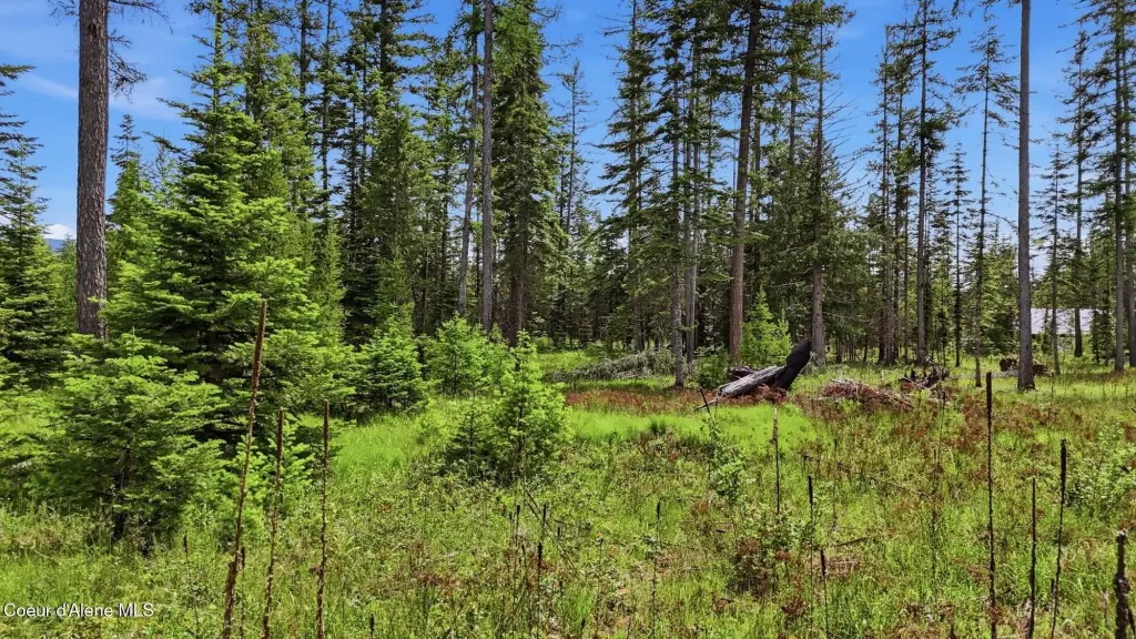
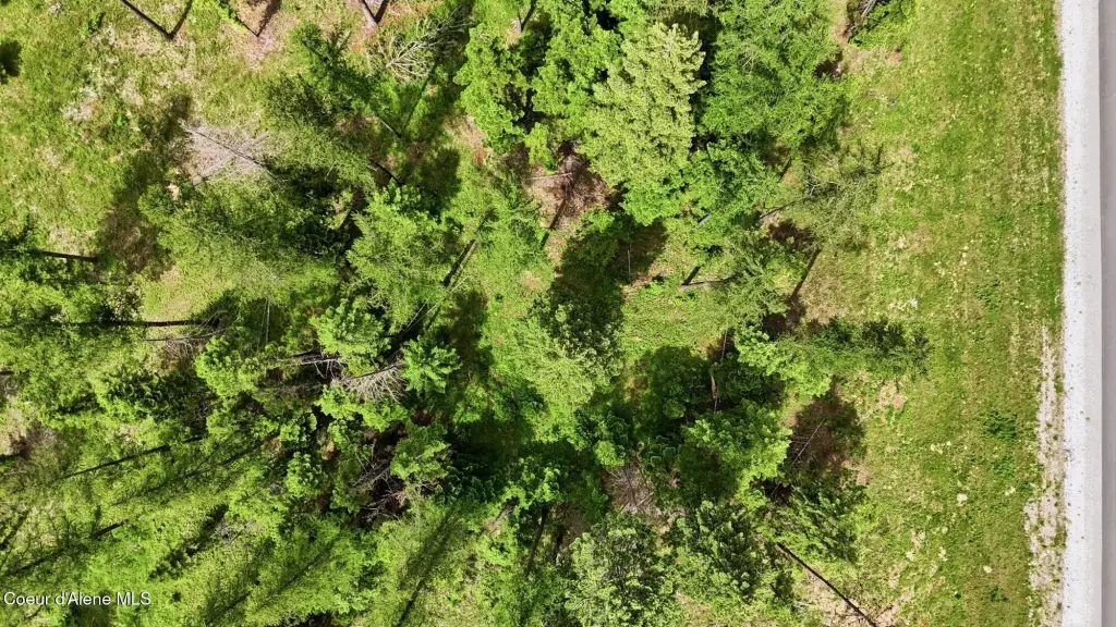
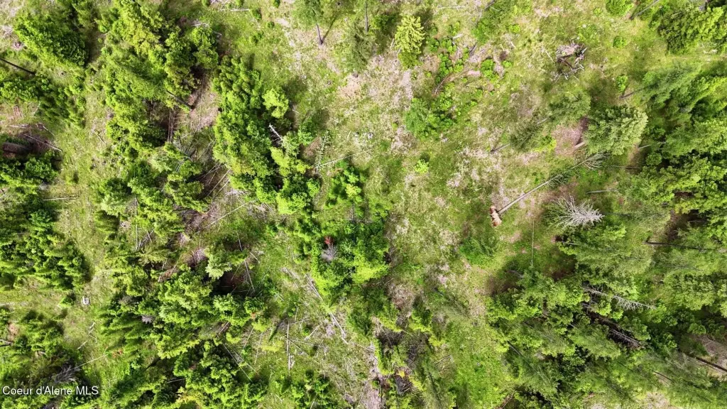
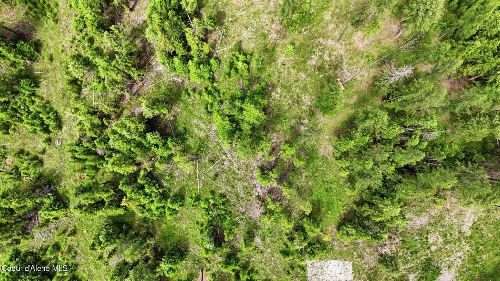
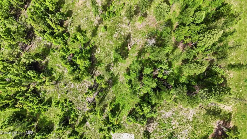
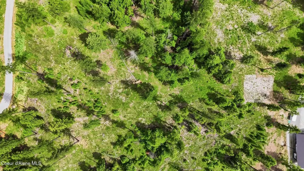
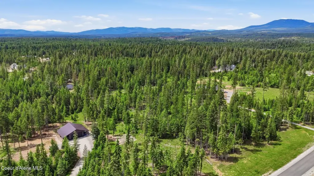
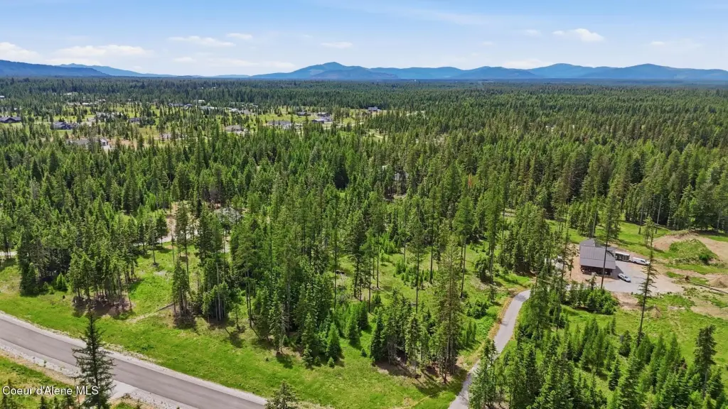
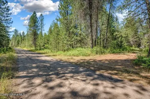
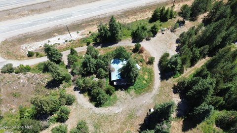
The property is a residential land parcel in The Estates at Farragut, identified as Lot 3, Block 1 in Phase One of a subdivision with 27 five-acre parcels. The lot is described as heavily treed, offering a secluded setting for future home construction. Utilities are noted as available at the paved road, and the property has a newly installed private well to support development.
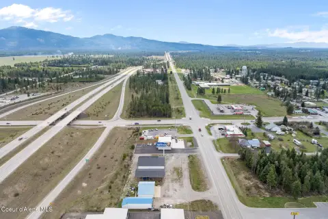
The Estates at Farragut is positioned alongside Farragut State Park, with the listing describing natural surroundings and outdoor recreation nearby. Access is described in relation to nearby routes and destinations, including approximately 4.1 miles to US-95 and about 7 miles to Silverwood Theme Park. The parcel is located in Kootenai County, with zoning identified as County-RUR.
This lot is well suited for buyers looking to build a custom home on a wooded site within a planned community, with on-lot water service already installed. With utilities available at the paved road and a private well in place, it can support the practical early planning steps for residential development. The rural residential zoning designation also aligns with single-family construction planning based on the buyer’s intended home design.
Key Highlights
- Lot 3, Block 1 in The Estates at Farragut Phase One, part of a subdivision with 27 five‑acre parcels
- Heavily treed, timber‑part exterior features for added privacy
- Newly installed private well on the lot, with water source via well
Property Analytics
Property Profile
Location Intelligence
Current Use by Public Records
Residential land & home ...


FAQs
What type of property is this?
Residential land & home lot - Heavily treed 5+ acre parcel in a gated-style subdivision with a newly installed private well.
Where is this residential land & home lot located?
The property is located at NNA Estate at Farragut Lot 3 Blk 1 Athol, ID.
What is the asking price?
The asking price for this property is $475,000.
What are key features of this property?
This property features: Lot 3, Block 1 in The Estates at Farragut Phase One, part of a subdivision with 27 five‑acre parcels; Heavily treed, timber‑part exterior features for added privacy; Newly installed private well on the lot, with water source via well


