Rolling Ranch with Creek
For Sale
$1,058,530
192 ACRES FM 171, Byers, TX 76357
Land, Byers, TX
Property SizeContact for details
Lot Size192.00 Acres
Days on Market150
Property Features for 192 ACRES FM 171
General Information
Property type
Land
Property subtype
Other
Lot features
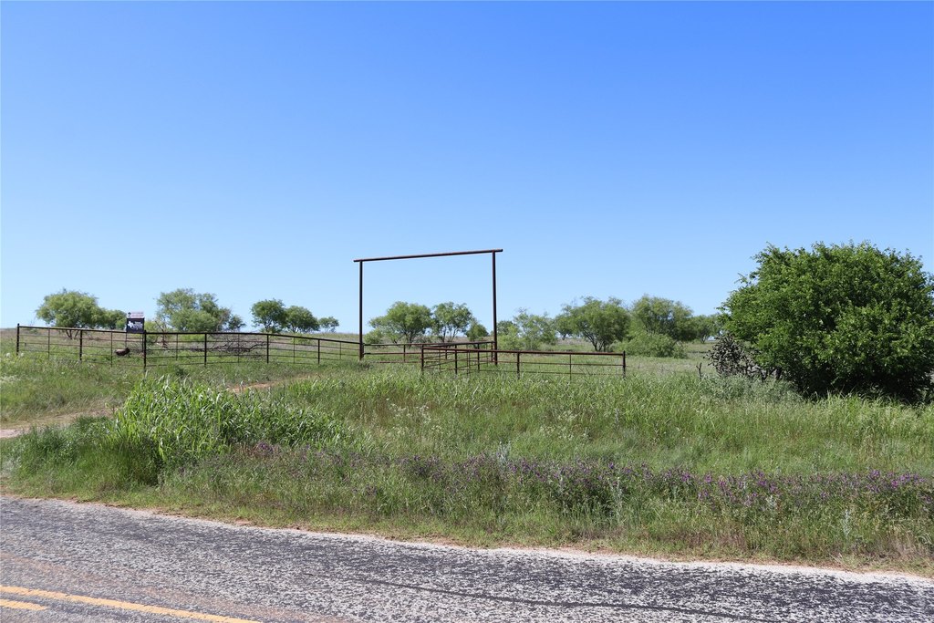
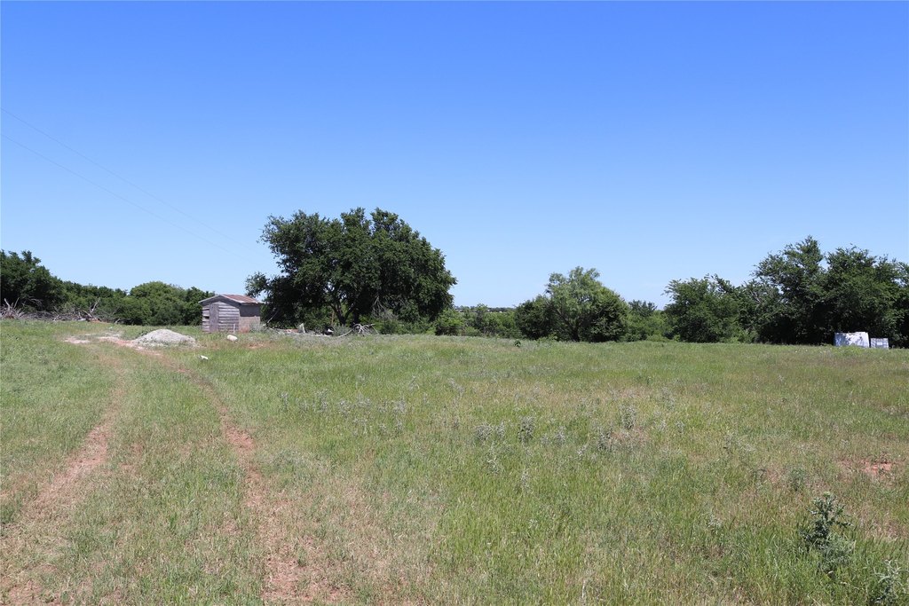
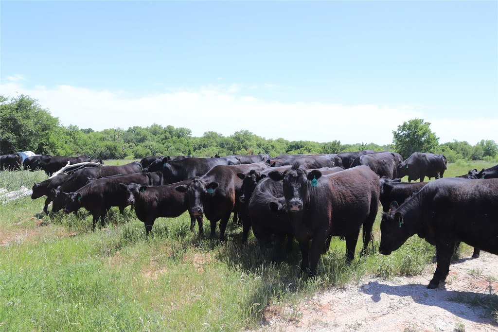
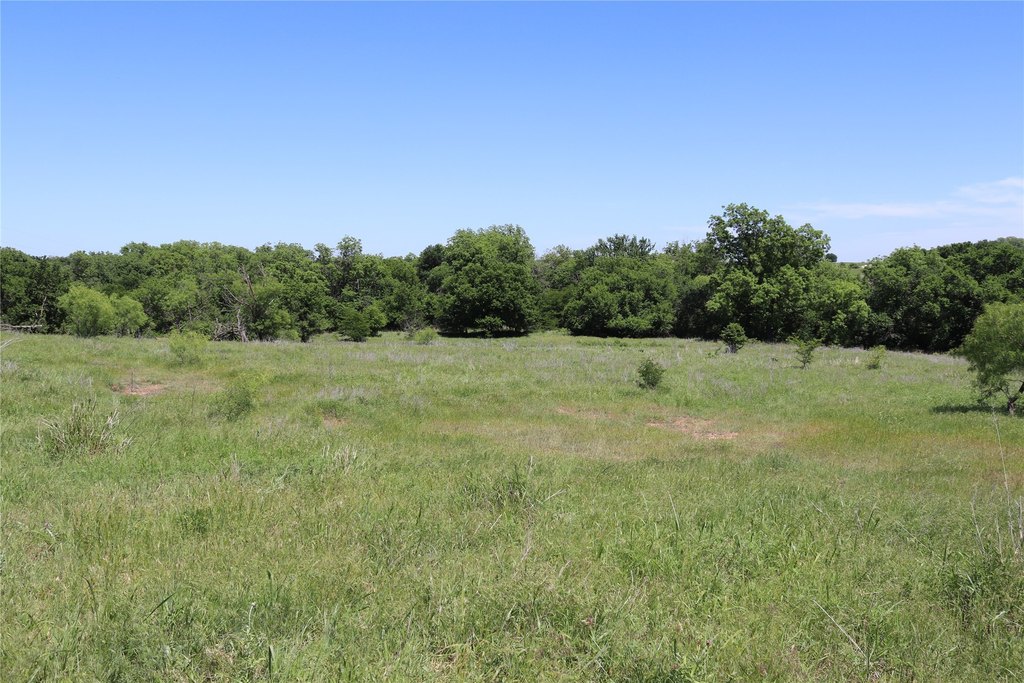
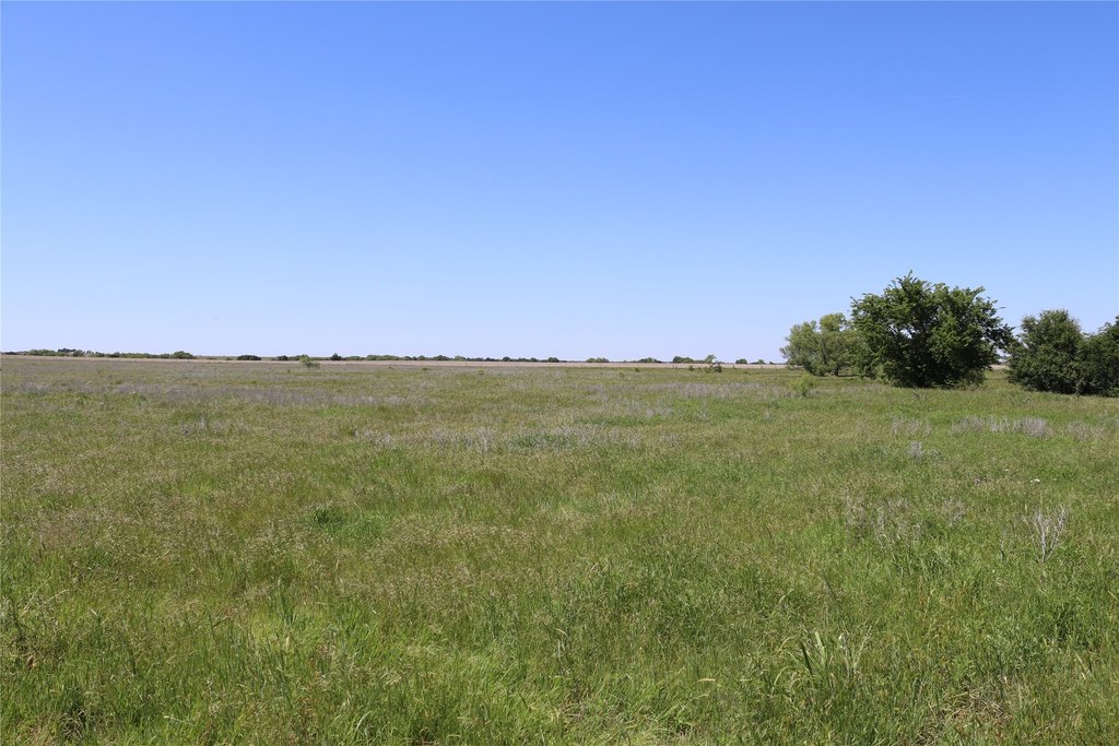
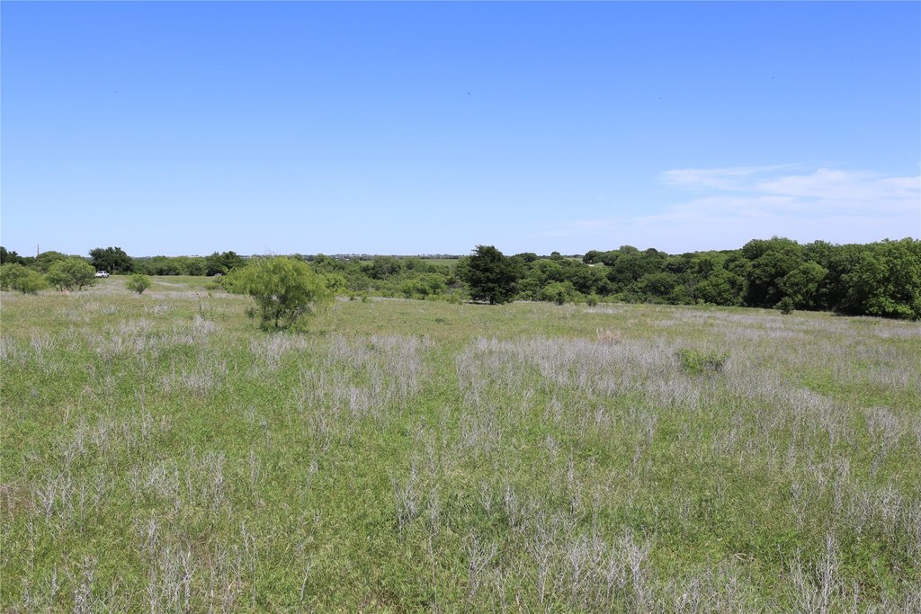
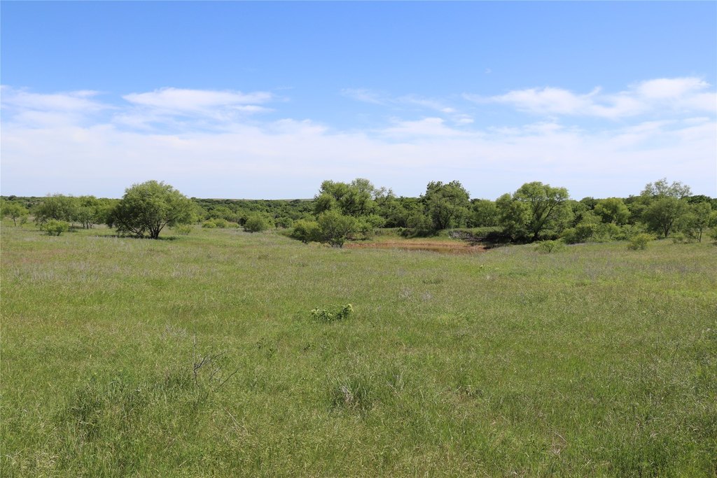
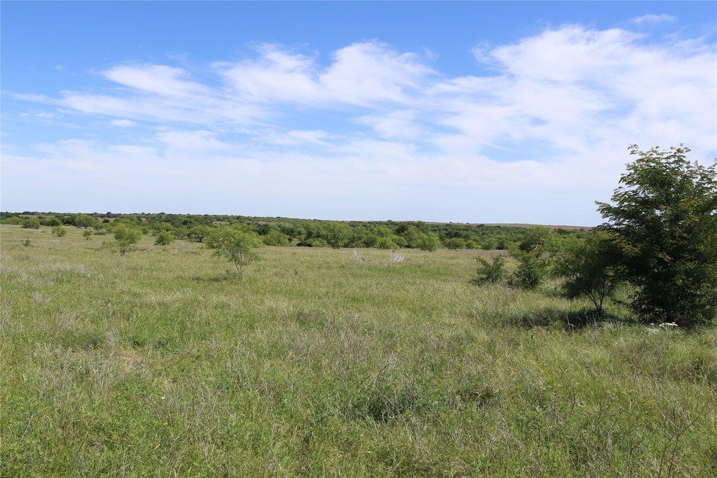
Acreage, Pasture, Rolling Slope, Few Trees
Elementary school
Petrolia
High school
Petrolia
Elementary school district
Petrolia ISD
Middle school district
Petrolia ISD
High school district
Petrolia ISD
Directions
From Byers go East on FM 171 approx. 5 miles. Property on the nroth side of the road.
Standard status
Active
APN
0003002
Lot size
192.00 Acres
Taxes and HOA fees
Tax Description
AB 1003 JOHN TRUSSELL SAMUEL MAVERICK
Tax Annual Amount
233
Legal Description
AB 1003 JOHN TRUSSELL SAMUEL MAVERICK
Utilities
Water source
Well
Listing Agency:
Texas Landmark Realtors
(817) 602-7617
Listed By:
Scott Cleveland · License #0605443
(940) 235-2365
Added: May 11
Changed: Sep 9
Last Checked: Oct 7 at 4:06AM
MLS# 21163807
Copyright © 2026 North Texas Real Estate Information Systems, Inc. All rights reserved. All information provided by the listing agent/broker is deemed reliable but is not guaranteed and should be independently verified.
Investment Insights
Based on property information with market context.
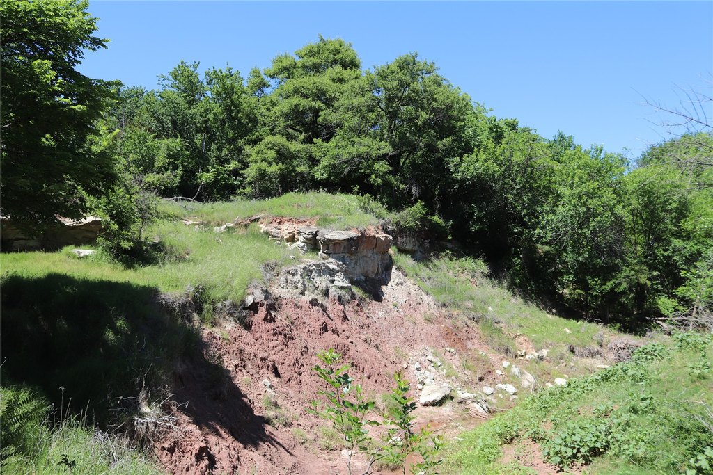
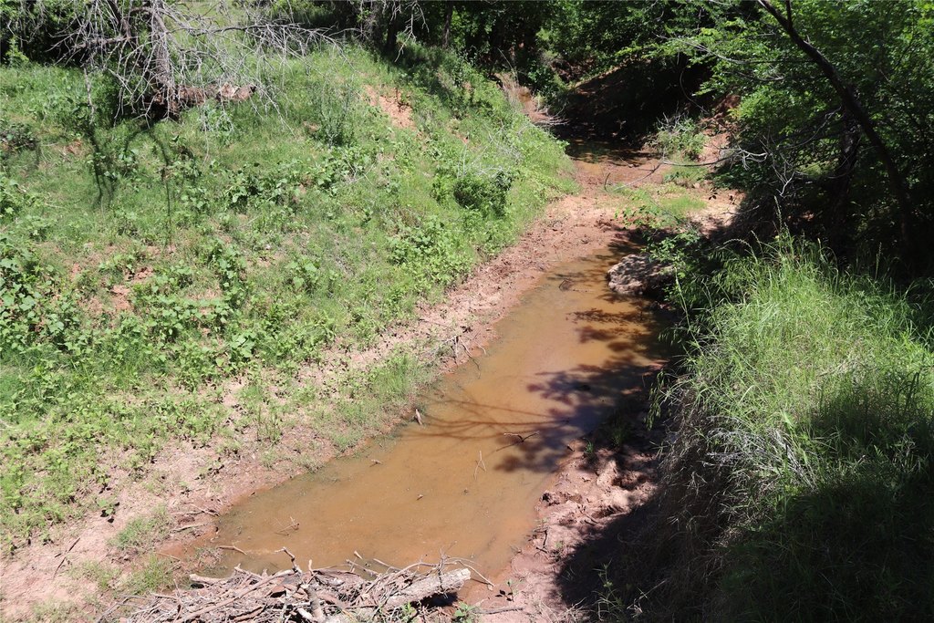
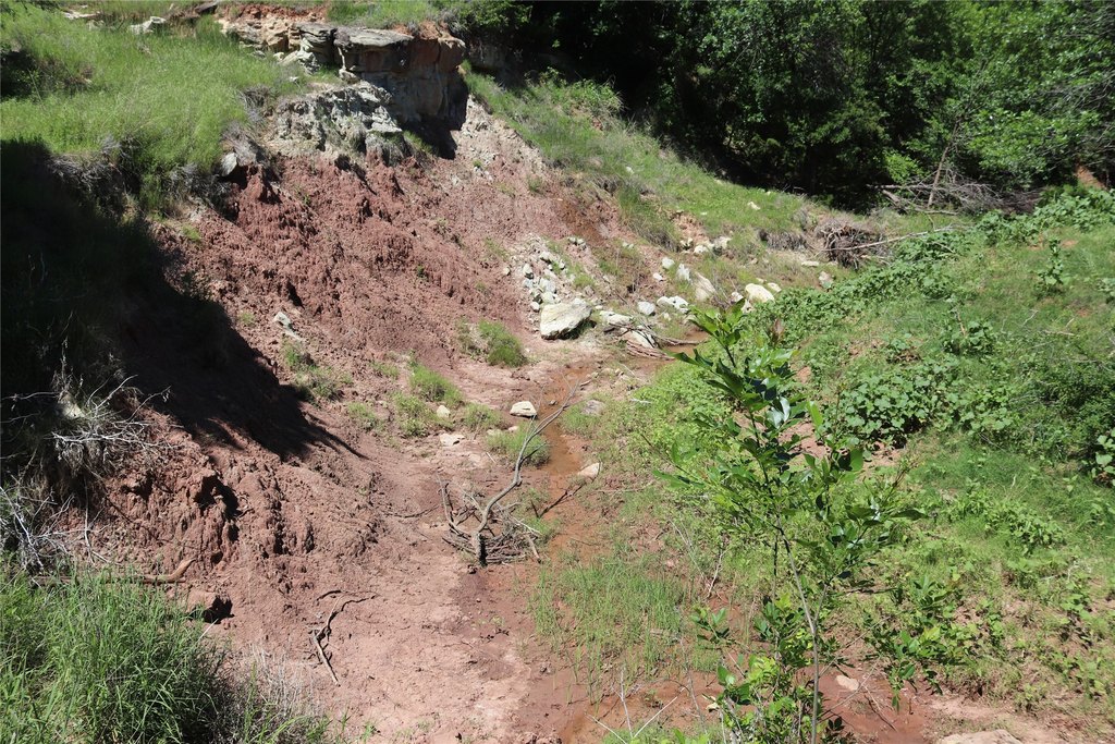
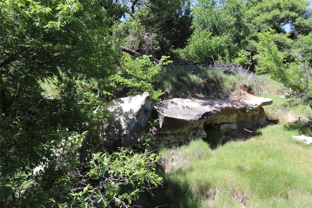
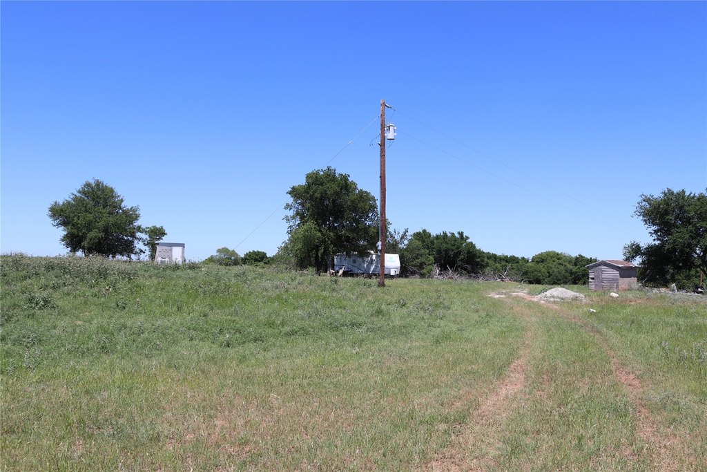
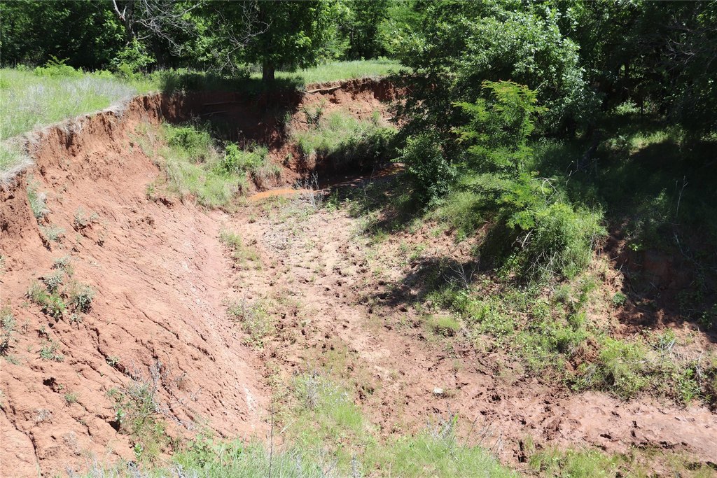
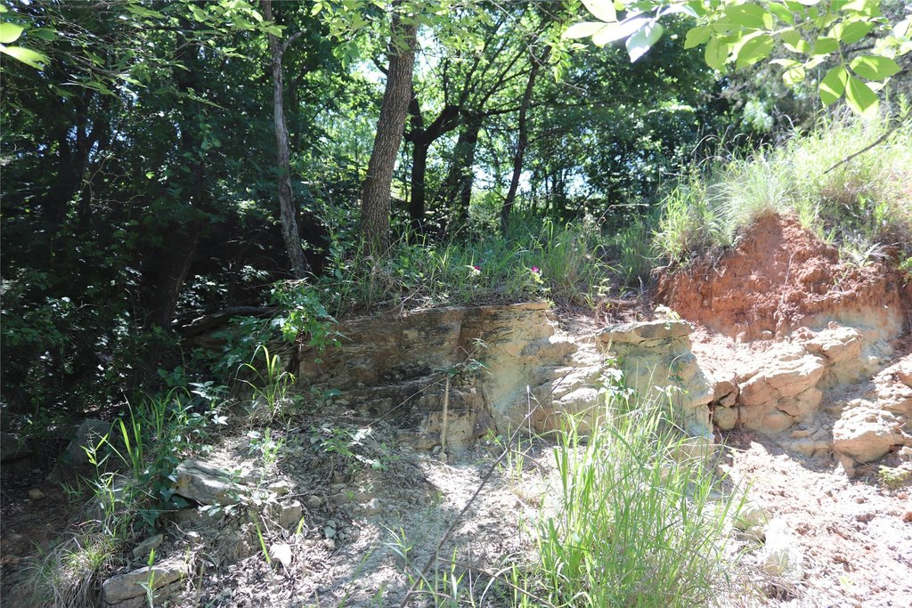
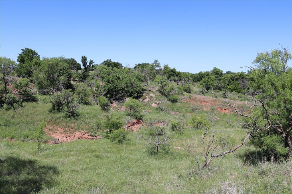
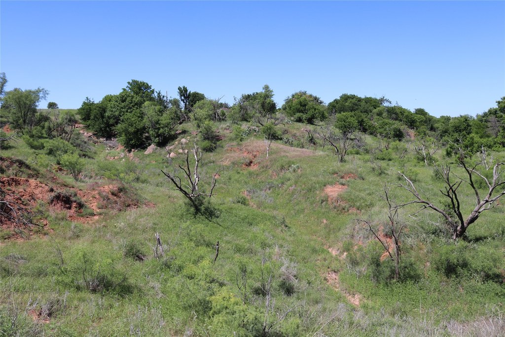
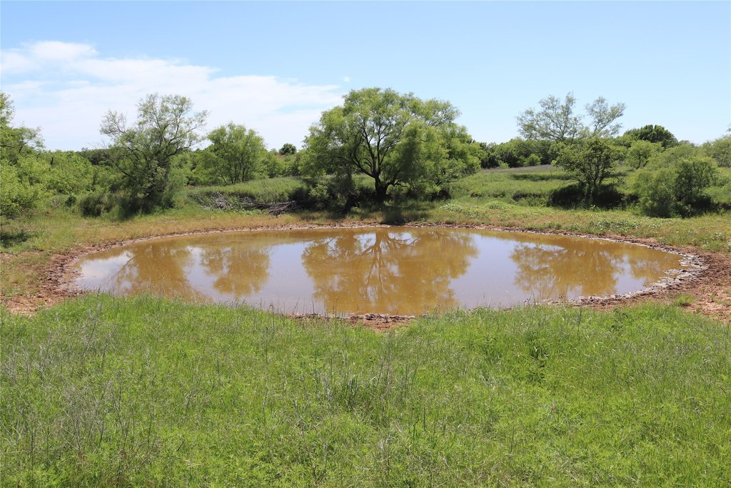
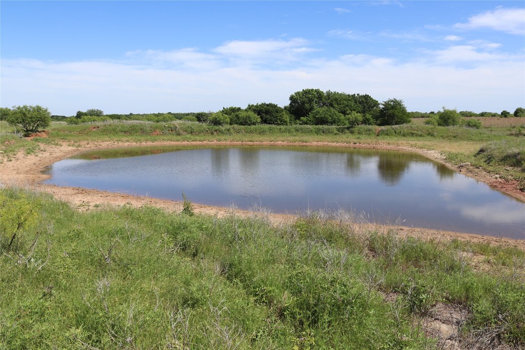
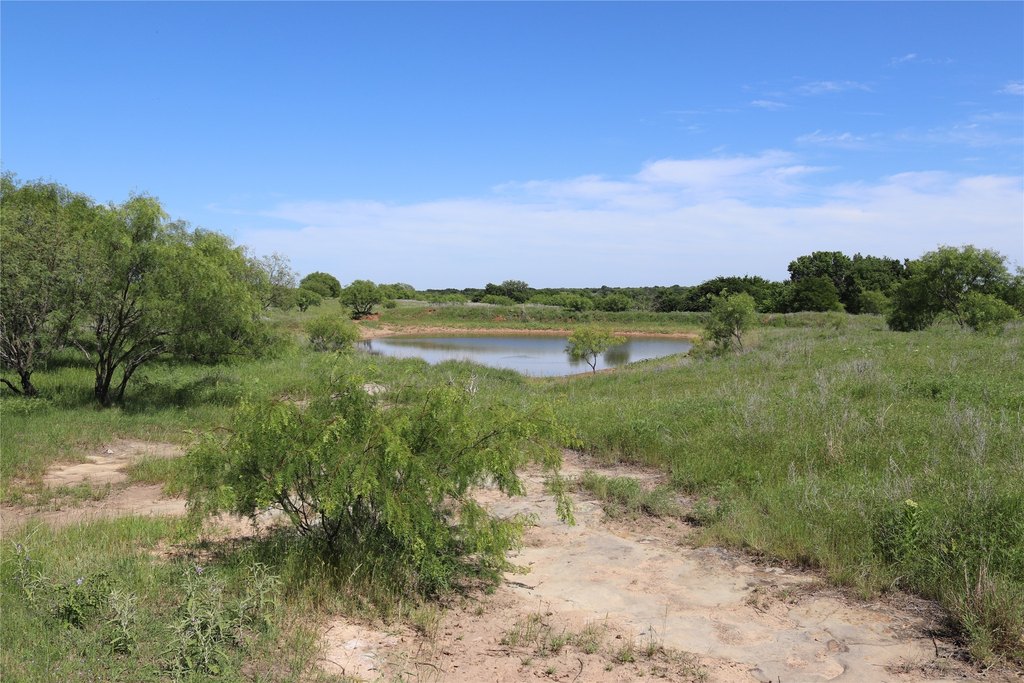
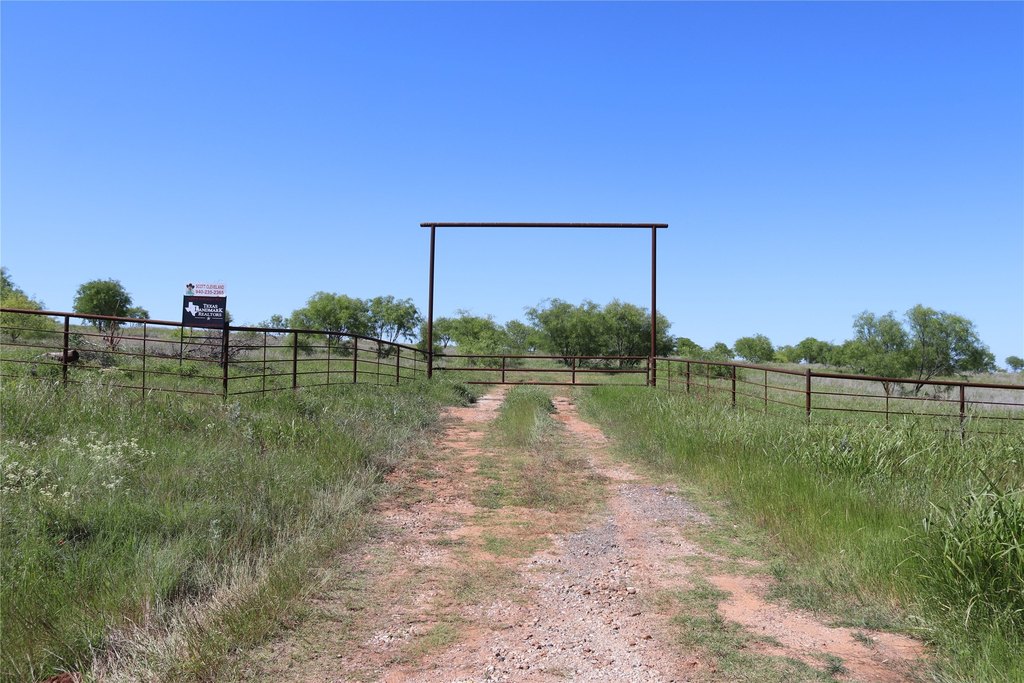
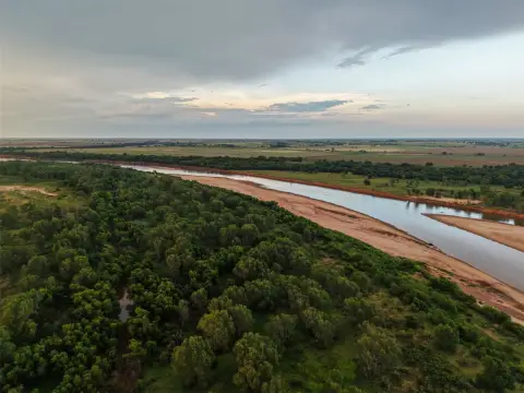
This 192-acre ranch in Clay County combines rolling terrain, cleared native pasture, and a bluff overlooking a spring-fed creek bottom bordered by native hardwoods. The existing homesite includes a concrete block well shed, drilled water well, electricity, and a small slab. Cross fencing divides the pastures, while fallow cultivated fields provide additional agricultural use potential for wheat production. Native grass may also be managed or transitioned to improved grasses for hay production.
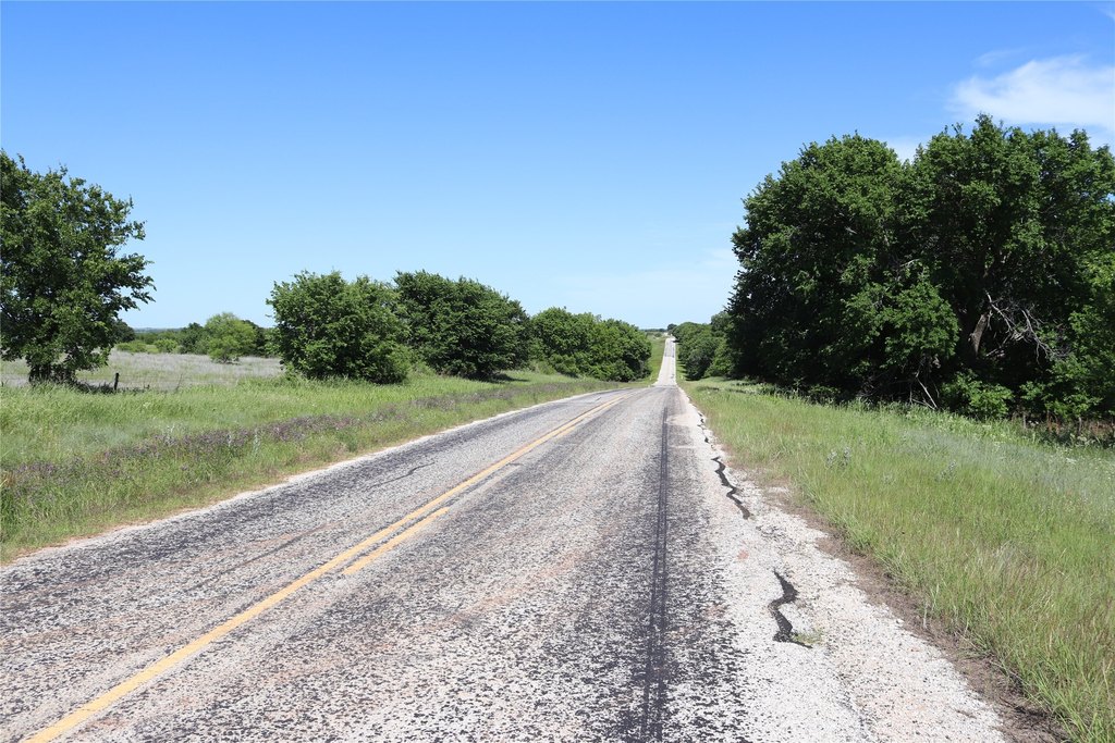
The property is approximately 1 mile from the Red River and supports a range of wildlife, including white-tailed deer, turkey, wild hogs, dove, ducks, and other varmints. The ranch is located on FM 171 near Byers, Texas, in North Clay County.
The property is approximately 1 mile from the Red River and supports a range of wildlife, including white-tailed deer, turkey, wild hogs, dove, ducks, and other varmints. The ranch is located on FM 171 near Byers, Texas, in North Clay County.
Key Highlights
- 192‑acre ranch in North Clay County
- Bluff overlooks a spring‑fed creek bottom with native hardwoods
- Homesite includes a concrete block well shed, drilled water well, electricity, and small slab
Property Analytics
Current Use
Location Intelligence
Demographics for 76357, TX
685
Population
324
Households
2.1
Avg Household Size
44
Median Age
19%
College-Educated
88%
High-School Grad
70.5 sq mi
ZIP Area
10
Density / Sq Mi
$77,566
Median Household Income
$50,357
Median Earnings
$117,300
Median Home Value

Questions? Ask Rey
Realmo’s AI knows this listing — price, zoning, demand, history. Ask anything.

Frequently Asked Questions
What type of property is this?
Ranch - Rolling ranch with a spring-fed creek, native pastures, and an established homesite.
Where is this ranch located?
The property is located at 192 ACRES FM 171 Byers, TX.
What is the asking price?
The asking price for this property is $1,058,530.
What are key features of this property?
This property features: 192‑acre ranch in North Clay County; Bluff overlooks a spring‑fed creek bottom with native hardwoods; Homesite includes a concrete block well shed, drilled water well, electricity, and small slab


