Productive Farm with Dual Road
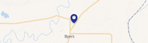
FM 171 Byers, TX 76357
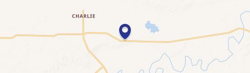
FM 171, Byers, TX, 76357
$2,383,350
For Sale
$2,383,350
LAND - Byers, TX
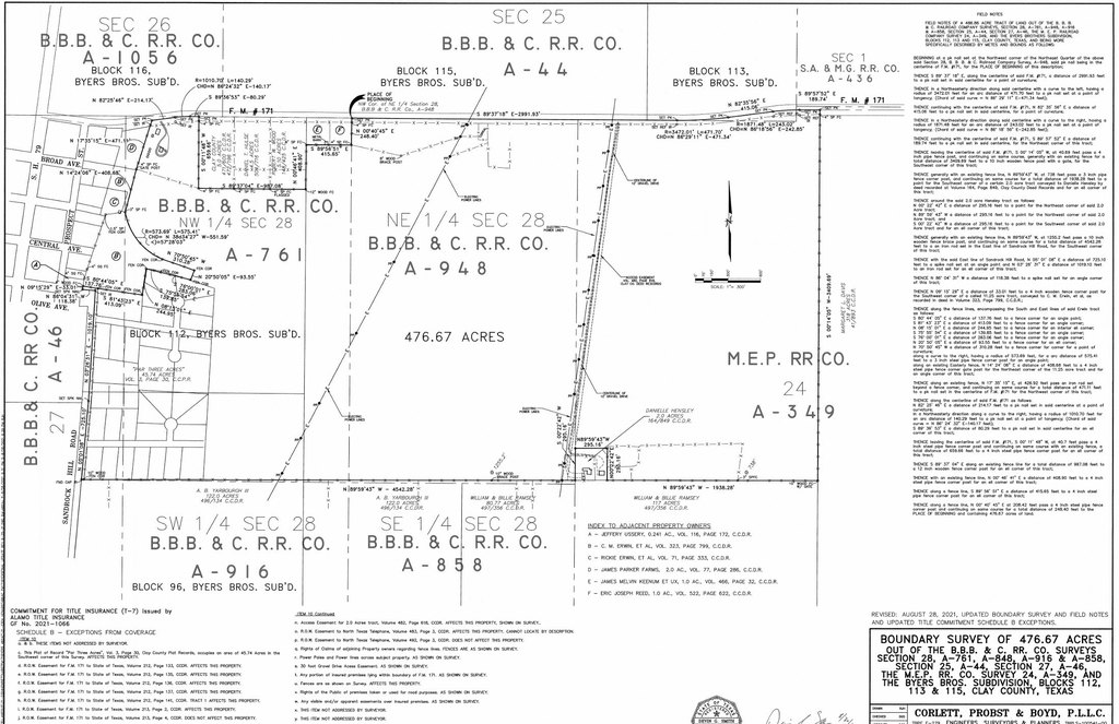
Lot Size476.67 Acres
Days on Market275
Property Features for FM 171
General Information
- Property type
- Land
- Property subtype
- Other
- Fencing
- Perimeter
- Standard status
- Active
- APN
- 0015644
- Lot size
- 476.67 Acres
Taxes and HOA fees
- Tax Description
- AB 948 B H GROGAN NE 1/4 #28 BBB & C RR
Building Details
- Additional Structures
- Barn(s)
Listing Agency
Glasco Commercial Real Estate, LLC
(214) 448-0134
Frisco, TX
Listed by
Grant Glasco · License #9000772
(972) 987-1600
Added: Oct 17, 2025 Checked: Jul 18 at 2:06 am
MLS# 21089954
Listing URL
Copyright © 2026 North Texas Real Estate Information Systems, Inc. All rights reserved. All information provided by the listing agent/broker is deemed reliable but is not guaranteed and should be independently verified.
Investment Insights
Based on property information with market context.
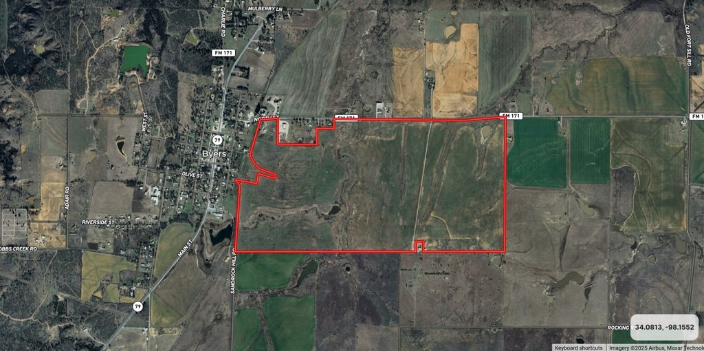
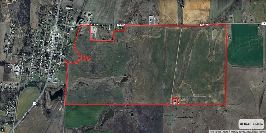
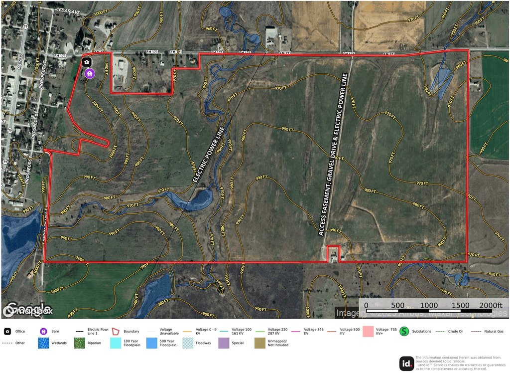
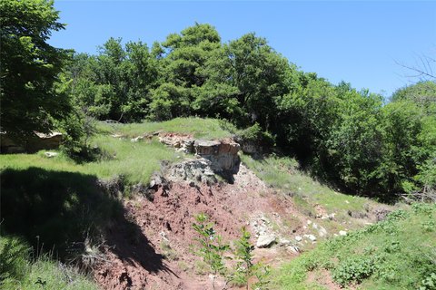
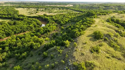
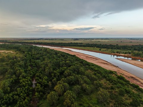
This productive farm offers a practical mix of water features and workable ground. The property includes two ponds and a dry creek bed that crosses the western side, with soils described as mostly loam, including Stoneburg-Bluegrove and Renfrow-Kirkland-Anocon compositions. Improvements on site include a mobile home believed to have been used as an office in the past, plus a barn accessible from FM 171. Water service is provided by Benvanue Water Co., and there is one water meter on the property that will transfer with the sale. The property is described as having no flood plain.
Access and visibility are supported by extensive frontage. Approximately 4,700 feet of frontage runs along FM 171 along the northern boundary, and approximately 1,800 feet of frontage runs along Sandrock Hill Rd-Olive St along portions of the western boundary. The listing also notes a neighboring home on the south side with access through the ranch.
For buyers seeking an agricultural asset with dependable road access and on-site water features, this property presents a strong foundation for continued farming and operational use. The combination of ponds, loam soils, and existing utility infrastructure may also support a variety of ranch-style applications, subject to buyer due diligence and intended use.
Key Highlights
- Approx. 4,700 ft of frontage on FM 171 along the northern boundary
- Approx. 1,800 ft of frontage on Sandrock Hill Rd–Olive St along part of the western boundary
- Includes 2 ponds and a dry creek bed crossing the western side
Property Analytics
Location Intelligence
Current Use by Public Records
Farms
Similar For Sale Nearby

FAQs
What type of property is this?
Farm - A productive working farm with ponds, loam soils, and paved access via FM 171 and Sandrock Hill Rd-Olive St.
Where is this farm located?
The property is located at FM 171 Byers, TX.
What is the asking price?
The asking price for this property is $2,383,350.
What are key features of this property?
This property features: Approx. 4,700 ft of frontage on FM 171 along the northern boundary; Approx. 1,800 ft of frontage on Sandrock Hill Rd–Olive St along part of the western boundary; Includes 2 ponds and a dry creek bed crossing the western side


