Saltwater Canal Waterfront

For Sale
$229,900
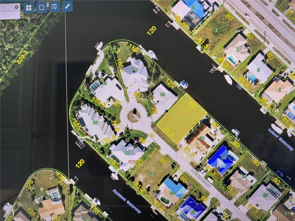
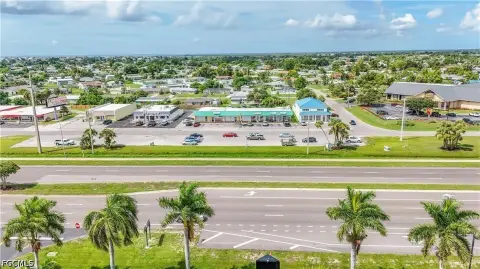
140 LELAND Street SW, Port Charlotte, FL 33952
LAND - PORT CHARLOTTE, FL
Lot Size0.23 Acres
Days on Market221
Property Features for 140 LELAND Street SW
General Information
Property type
Land
Property subtype
Other
Zoning
RSF3.5
Subdivision
PORT CHARLOTTE SEC 043
Lot features
In County, Street Dead- End, Paved
Directions
Edgewater to Harbor Blvd. Turn right on Leland. Lot will be towards the end on the right.
Standard status
Active
APN
402227156001
Lot size
0.23 Acres
Taxes and HOA fees
Tax Year
2025
Tax Description
PCH 043 1176 0032 PORT CHARLOTTE SEC43 BLK1176 LT 32 389/949 1130/277-88 1259/1229 1488/555 3348/178 3755/781
Tax Annual Amount
3900
Legal Description
PCH 043 1176 0032 PORT CHARLOTTE SEC43 BLK1176 LT 32 389/949 1130/277-88 1259/1229 1488/555 3348/178 3755/781
Utilities
Sewer type
Public Sewer
Water source
Public
Water front
1
Listing Agency:
RE/MAX PALM REALTY · RE/MAX International
(941) 889-7654
Listed By:
Leann Croke · License #677513
(941) 769-4663
Added: Dec 24, 2025
Changed: Jul 24
Last Checked: Aug 2 at 3:06AM
MLS# C7519378
Copyright © 2026 Stellar MLS. All rights reserved. All information provided by the listing agent/broker is deemed reliable but is not guaranteed and should be independently verified.
Investment Insights
Based on property information with market context.
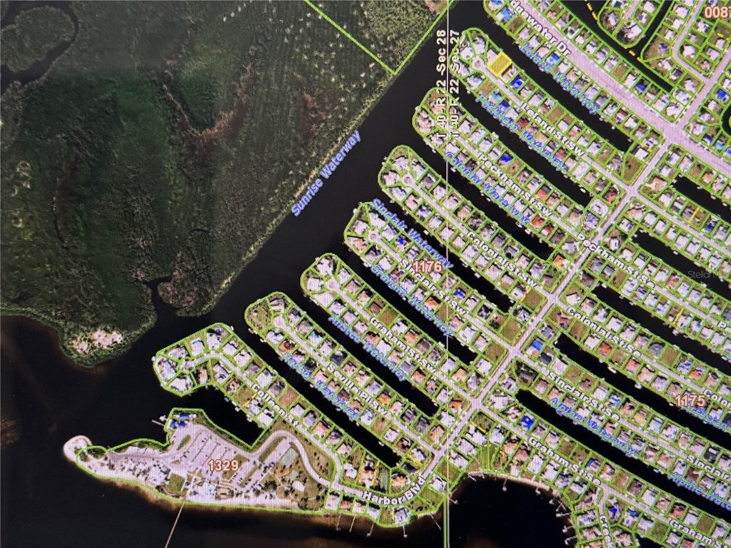
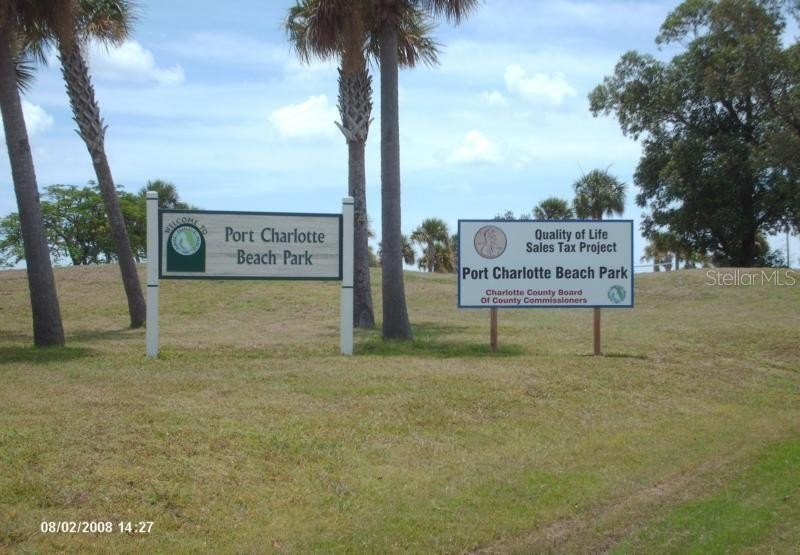
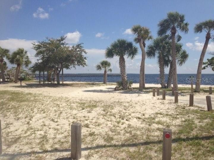
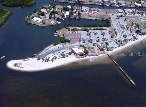
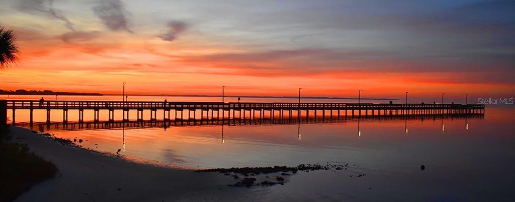
This cleared waterfront land parcel offers 80 feet of seawall along a saltwater front canal. The property is described as being three lots in from the dead end of a cul-de-sac street. Public remarks indicate there are no deed restrictions, and that the lot is served by City water and sewer. The lot is positioned within the Port Charlotte Beach Complex, which is described as open to the public and newly restored.
The Port Charlotte Beach Complex is reported as a 16-acre site that includes a 20,700 square foot recreation center, pickleball, basketball, and tennis courts, a boat launch, a playground, and picnic tables. Public remarks also state the lot provides access out to the Gulf of Mexico. The property is zoned RSF3.5.
Overall, this is a cleared waterfront canal lot within a public beach recreation complex, featuring established seawall improvements and utility service via City water and sewer.
Key Highlights
- Saltwater front canal lot in the Port Charlotte Beach Complex with 80 ft of seawall
- City water and public sewer available
- Cleared lot near the end of a cul‑de‑sac (3 lots from the dead end)
Property Analytics
Property Profile
Current Use
Lease Details
Yes
Paved road access
Yes
Utilities to site
Location Intelligence
Trade Area within ½ mile
78
Businesses Nearby
Explore this area
Business Placement
Demographics for 33952, FL
32,084
Population
17,682
Households
1.8
Avg Household Size
52
Median Age
20%
College-Educated
88%
High-School Grad
11.0 sq mi
ZIP Area
2,917
Density / Sq Mi
$56,117
Median Household Income
$33,999
Median Earnings
$1,249
Median Rent
$224,900
Median Home Value

Questions? Ask Rey
Realmo’s AI knows this listing — price, zoning, demand, history. Ask anything.


Frequently Asked Questions
What type of property is this?
Waterfront Land - Cleared waterfront lot with 80 feet of seawall, City water and sewer, and proximity to a public beach complex.
Where is this waterfront land located?
The property is located at 140 LELAND Street SW Port Charlotte, FL.
What is the asking price?
The asking price for this property is $229,900.
What are key features of this property?
This property features: Saltwater front canal lot in the Port Charlotte Beach Complex with 80 ft of seawall; City water and public sewer available; Cleared lot near the end of a cul‑de‑sac (3 lots from the dead end)