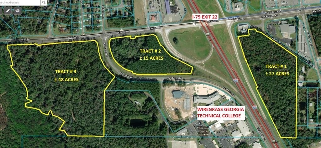
Tract 3 I-75 Exit 22 / SW Shiloh Rd & Val Tech Rd, Valdosta, GA 31602
- Added:
- Aug 16, 2024
- Days on Market:
- 692
- Last Refresh:
- Jul 8 at 2:06 am
Property Features for Tract 3 I-75 Exit 22 / SW Shiloh Rd & Val Tech Rd
General Information
- Property type
- Land
- Property subtype
- Other
- Zoning
- R-1
- Standard status
- Pending
- APN
- Part of 0055 010
- Lot size
- 48.48 Acres
Taxes and HOA fees
- Tax Year
- 2025
- Tax Annual Amount
- 1166
Utilities
- Utilities
- Cable Available

Listing agent Scott Alderman License #109748 (229) 561-1939
Listing office FIRST COMMERCIAL REAL ESTATE 5273 Bethany Dr., VALDOSTA, GA (229) 561-1939
Listing date Aug 16, 2024
Copyright © 2026 South Georgia MLS (Valdosta). All rights reserved. All information provided by the listing agent/broker is deemed reliable but is not guaranteed and should be independently verified.
HighLights
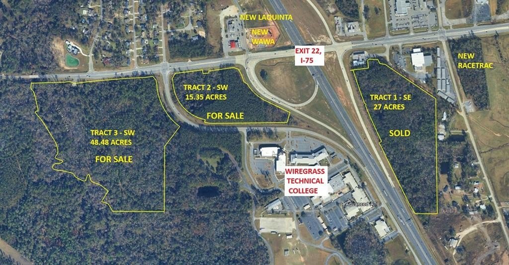
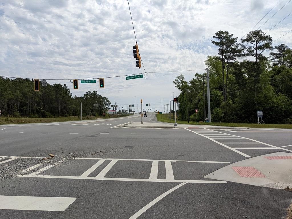
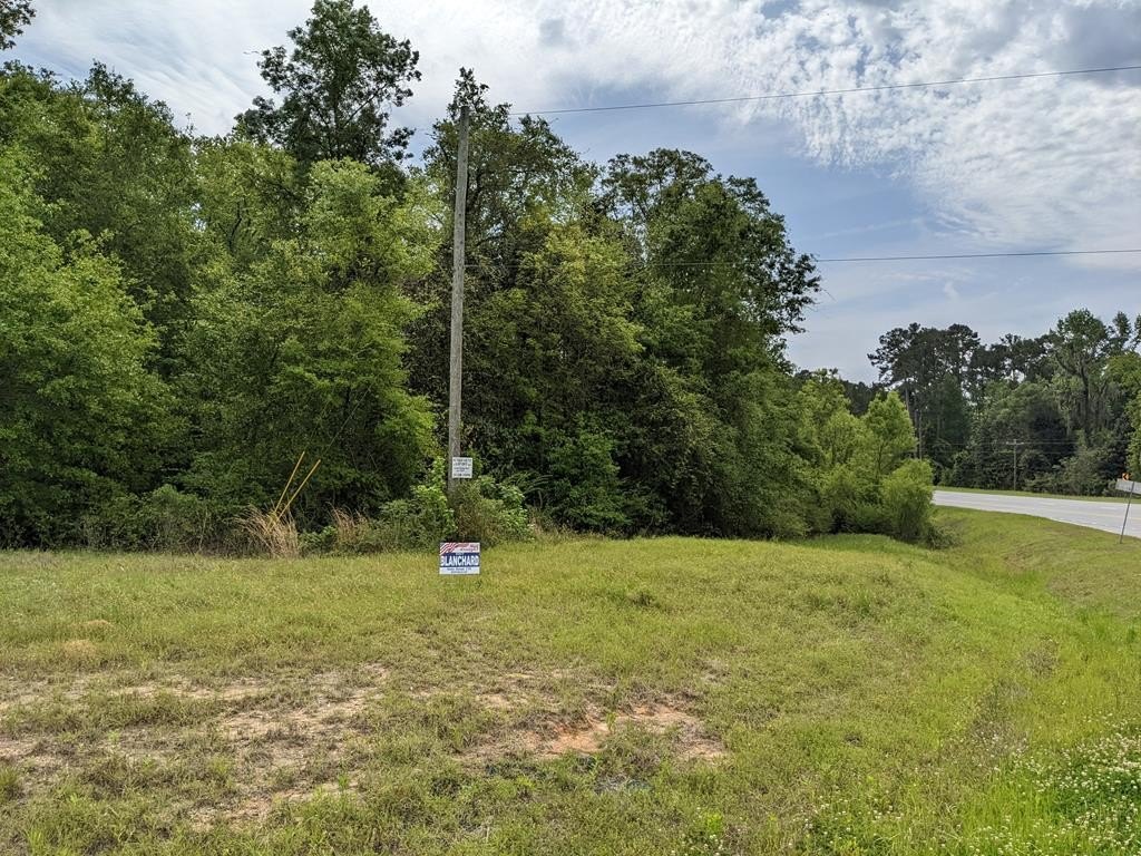
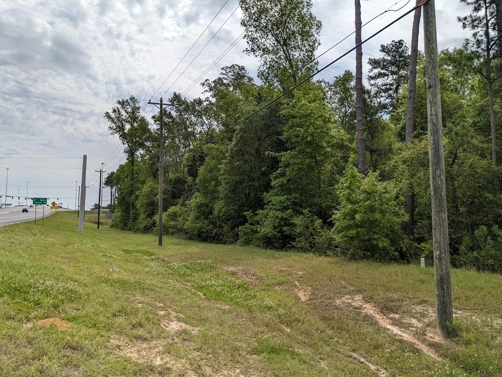
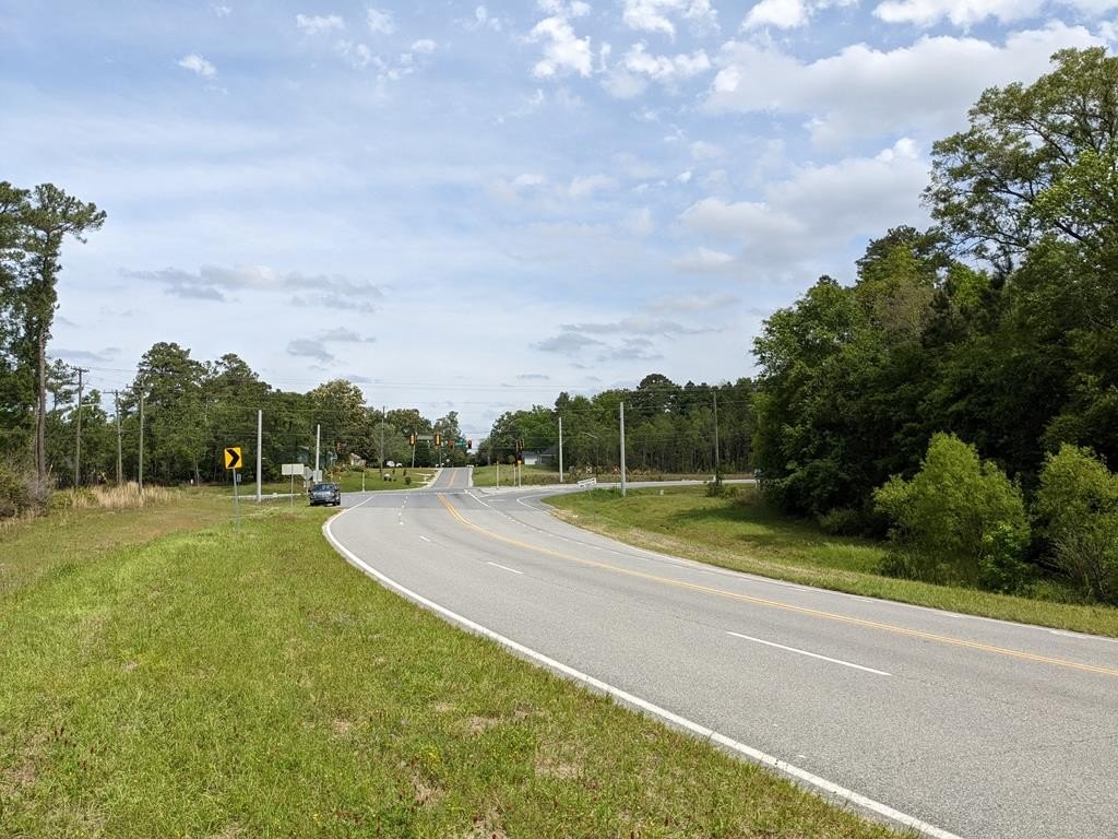
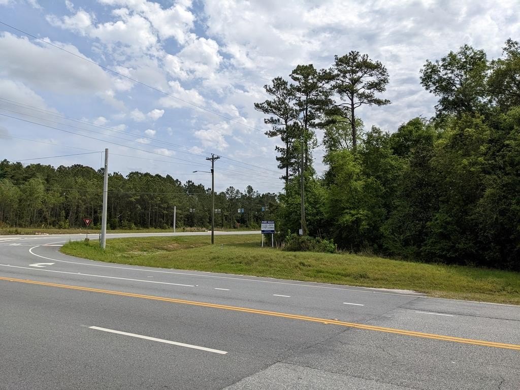
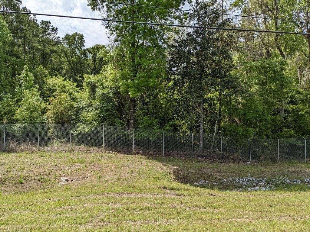
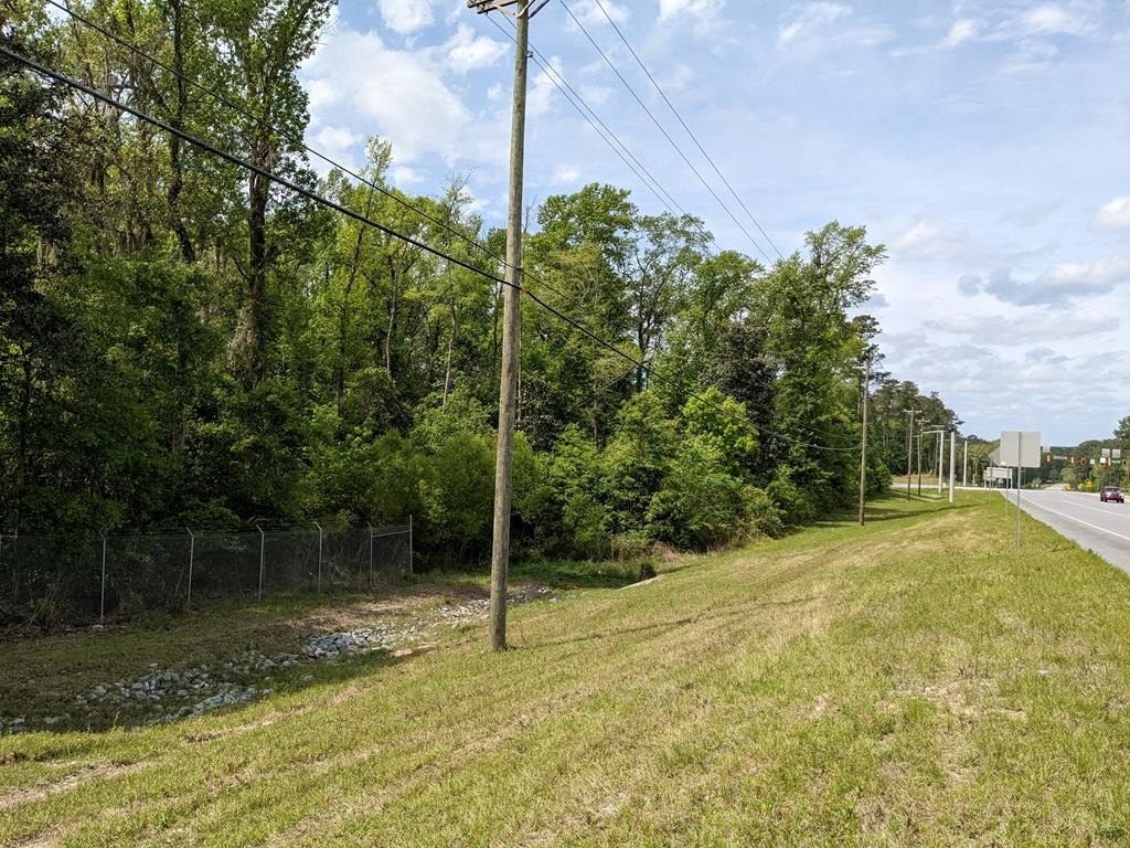
- 48.48‑acre residential‑commercial development/investment land on the SW quadrant of I‑75 (Exit 22) at Shiloh Rd & Val Tech Rd.
- Zoned R‑1; owner may consider selling less than the full tract at negotiated terms.
- County water & sewer available at or near the site; cable available.
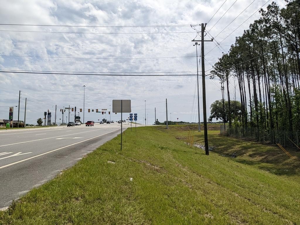
- Close to the southbound I‑75 on/off ramps at Exit 22.
- Traffic counts: 61,900/day on I‑75 and 19,400/day on North Valdosta Rd.
- Adjacent 15.35‑acre tract for sale east across Val Tech Rd; can be purchased together or separately.
Overview
The tract is located in the SW quadrant of I-75, at Exit 22, on the SW corner of Shiloh Rd and Val Tech Rd. It is positioned close to the southbound I-75 on- and off-ramps. Traffic counts provided in the remarks include 61,900 vehicles per day on I-75 and 19,400 vehicles per day on North Valdosta Rd. An adjacent tract of 15.35 acres is available for sale east across Val Tech Rd under a separate listing, and the tracts may be purchased together or separately.
For developers and land buyers seeking scale, this parcel offers a straightforward zoning starting point with R-1 status and access to county water and sewer. Its visibility to major roadway connections may support planning for residential development, and the listing notes residential-commercial development potential for the overall tract concept.
Current Use by Public Records
Map
- City
- Valdosta
- County
- Lowndes
- State
- Georgia
- Longitude
- -83.3619494
- Latitude
- 30.8932719