Multi-Use Ranch Land with
County Road 1242 Cleburne, TX 76033
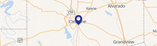
County Road 1242, Cleburne, TX, 76033
$667,800
For Sale
$667,800
LAND - Other - Cleburne, TX
Lot Size38.16 Acres
Days on Market39
Property Features for County Road 1242
General Information
- Property type
- Land
- Property subtype
- Other
- Vegetation
- Wooded
- Standard status
- Active
- APN
- 126049400071
- Lot size
- 38.16 Acres
Taxes and HOA fees
- Tax Description
- ABST 494 TR 23 T LARRISON
- Tax Annual Amount
- 76
Building Details
- Architectural style
- Other
Listing Agency
Story Group
(817) 992-9232
Fort Worth, TX
Listed by
Jacob Story
(817) 992-9232
Added: Jun 10 Checked: Jul 18 at 2:06 pm
MLS# 20876909
Listing URL
Copyright © 2026 North Texas Real Estate Information Systems, Inc. All rights reserved. All information provided by the listing agent/broker is deemed reliable but is not guaranteed and should be independently verified.
Investment Insights
Based on property information with market context.
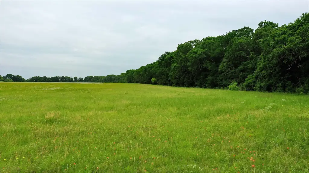
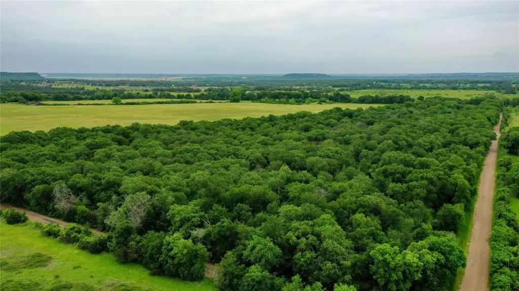
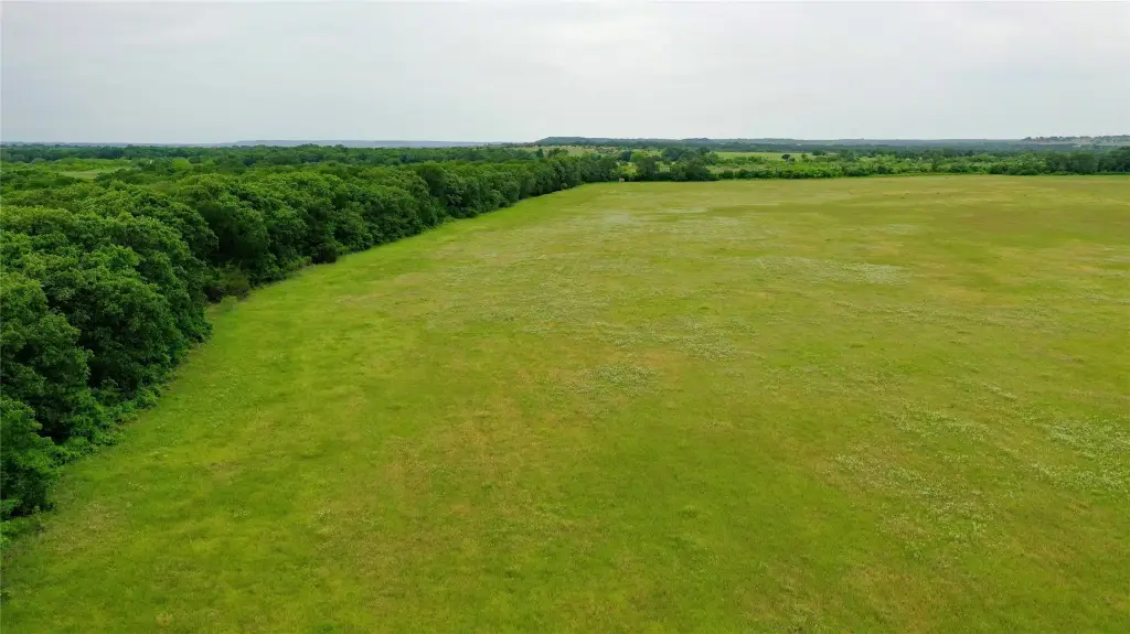
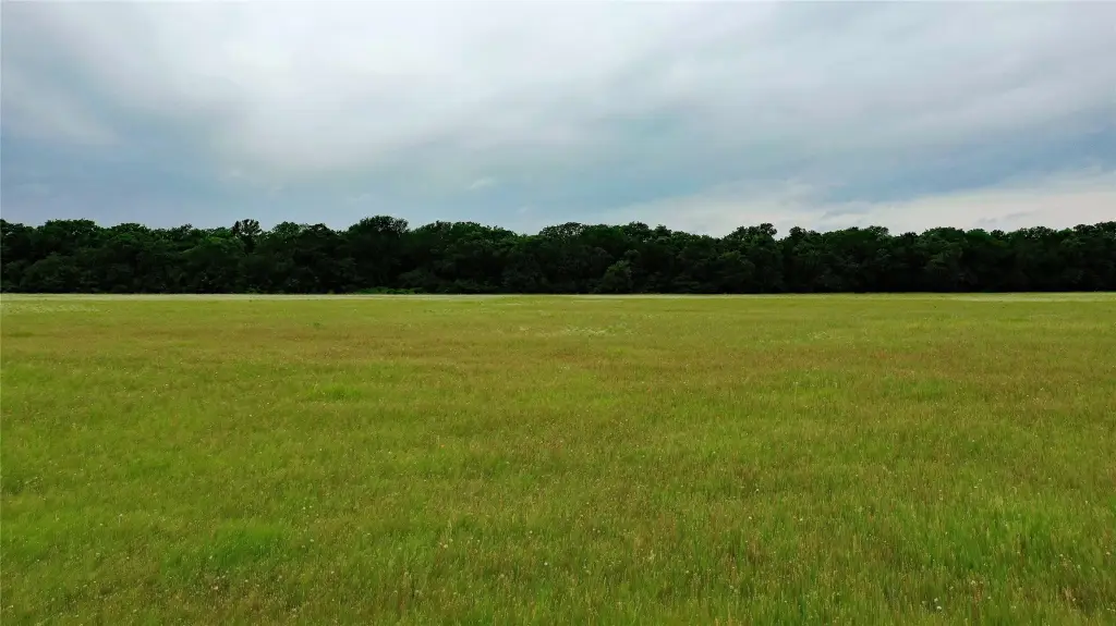
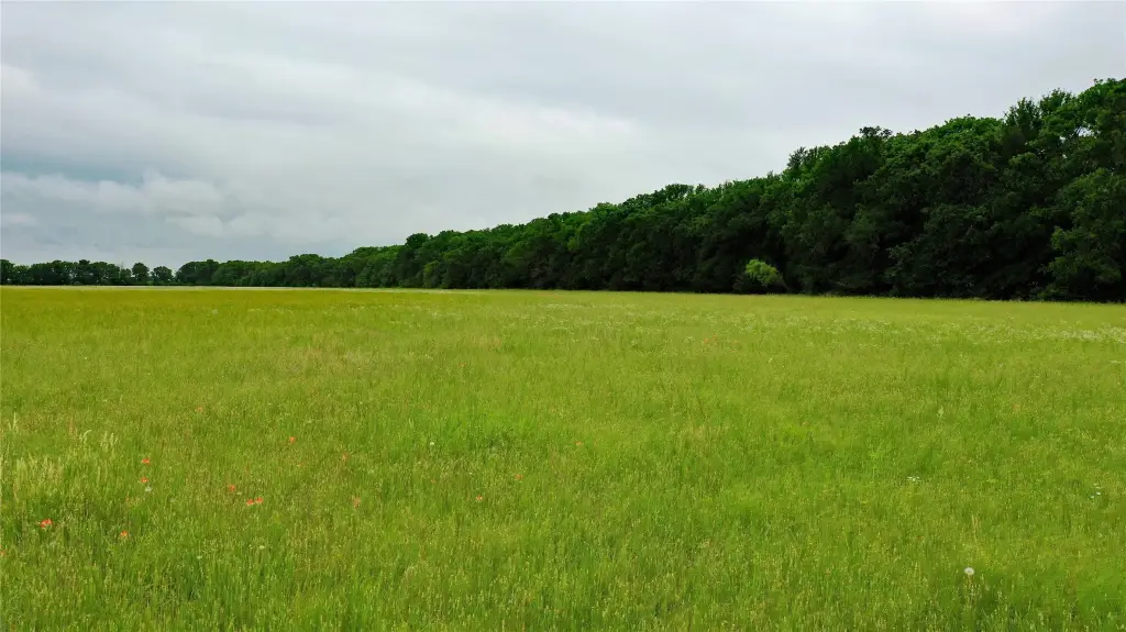
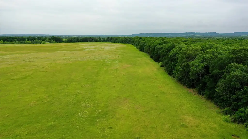
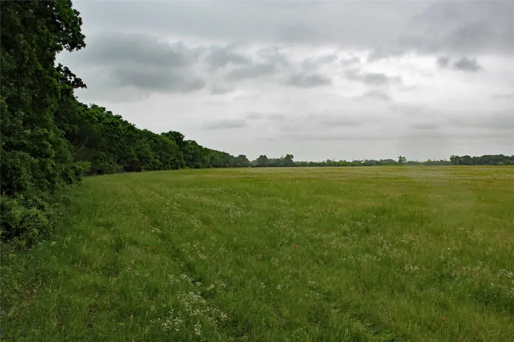
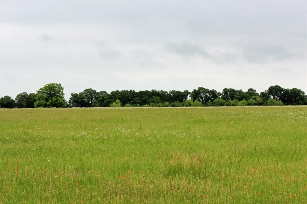
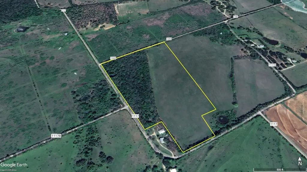
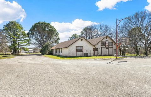
This 38.16-acre ranchette-style property features a coastal and native grass field currently utilized for hay production, along with a blend of mature oak trees that provide shaded areas. The land is described as having no floodplain, pipelines, oil and gas, or transmission line easements, which can simplify future planning. The setting includes a quiet county-road location and a landscape that supports multiple rural use options, from livestock and horses to outdoor recreation.
Access and visibility are a key advantage, with approximately 2,900 feet of paved county road frontage on three sides. The property is located outside of city limits and is near the Brazos River, according to the remarks. Water wells in the area are available at a depth of 620–800 feet.
For buyers seeking flexible rural acreage, the mix of income-producing hay ground and mature tree cover may appeal to operators looking for a working farm or cattle setup, as well as those wanting space for horses and a private homesite. Hunters may also find value in the noted presence of deer and other game animals for outdoor recreation. Overall, it is positioned for those who want quiet land with straightforward frontage for access and potential development planning.
Key Highlights
- Approximately 2,900 ft of paved county road frontage on three sides for access and future development
- No floodplain, pipeline, oil & gas, or transmission line easements reported
- Land includes mature oak trees plus a coastal and native grass field currently utilized for hay production
Property Analytics
Property Profile
Location Intelligence
Current Use by Public Records
Agricultural land / Farmland
Similar For Sale Nearby
FAQs
What type of property is this?
Agricultural land / Farmland - 38-acre ranchette offers coastal and native grasses for hay, mature oak shade, and substantial paved frontage on three sides.
Where is this agricultural land / farmland located?
The property is located at County Road 1242 Cleburne, TX.
What is the asking price?
The asking price for this property is $667,800.
What are key features of this property?
This property features: Approximately 2,900 ft of paved county road frontage on three sides for access and future development; No floodplain, pipeline, oil & gas, or transmission line easements reported; Land includes mature oak trees plus a coastal and native grass field currently utilized for hay production


