Waterfront Land with River
For Sale
$1,950,000
754 Sheep Creek Road, Cascade, MT 59421
Land, Cascade, MT
Property SizeContact for details
Lot Size20.00 Acres
Days on Market492
Property Features for 754 Sheep Creek Road
General Information
Property type
Land
Property subtype
Other
Zoning description
8
Lot features
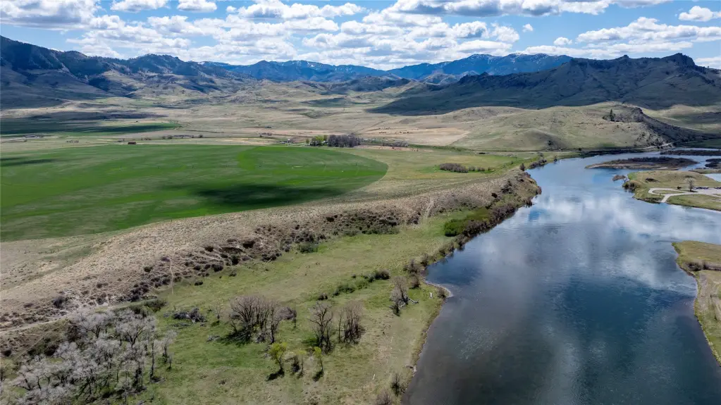
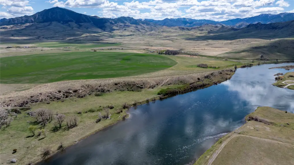
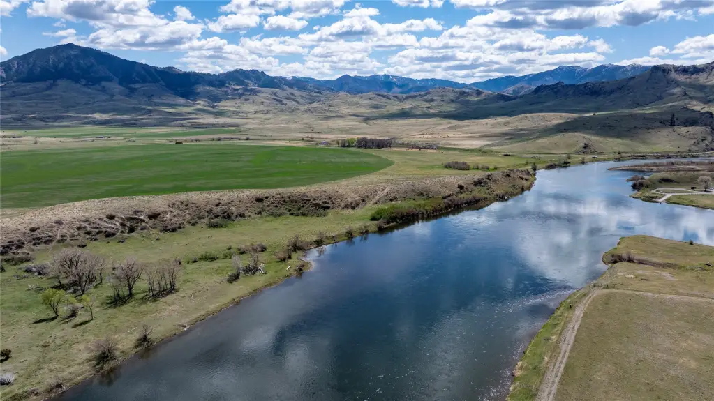
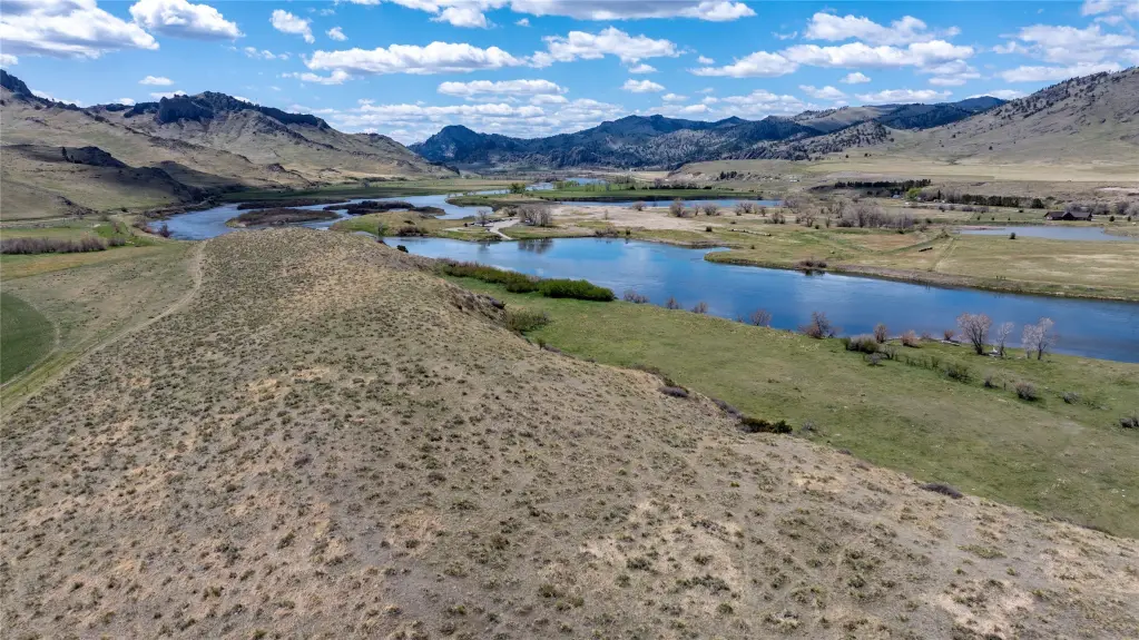
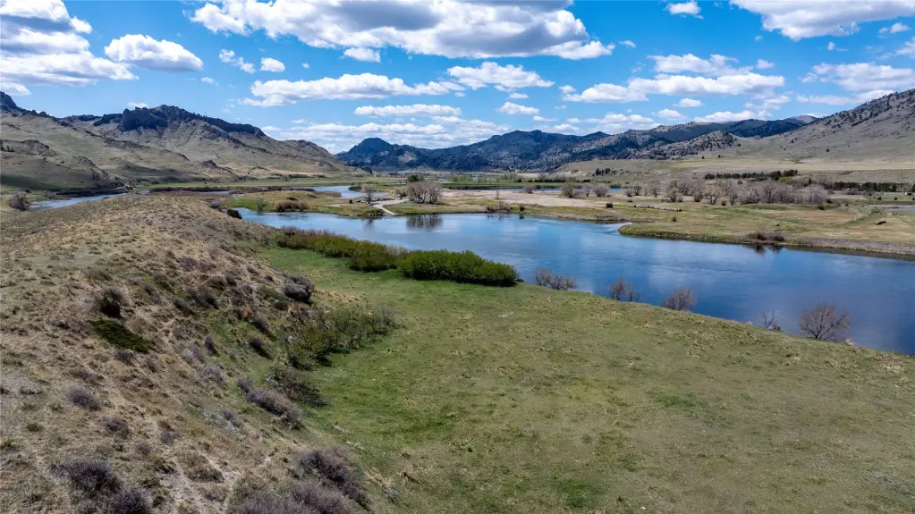
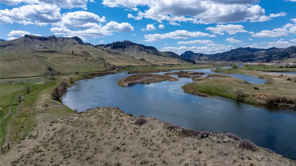
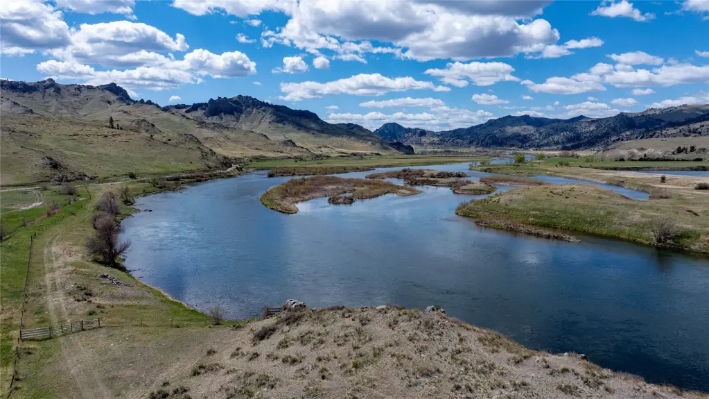
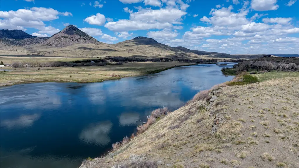
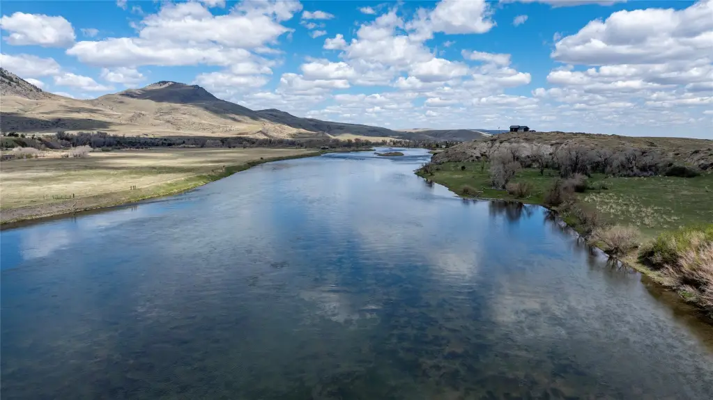
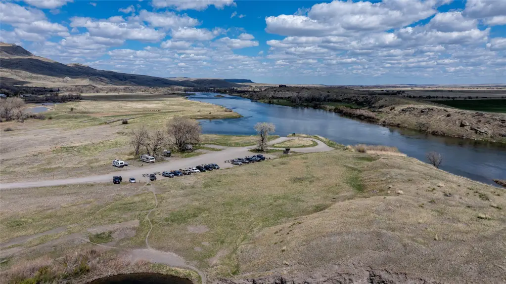
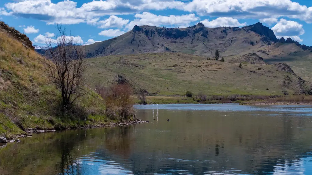
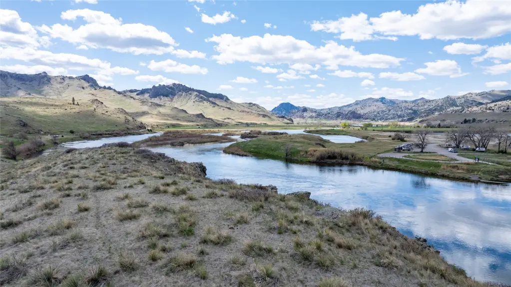
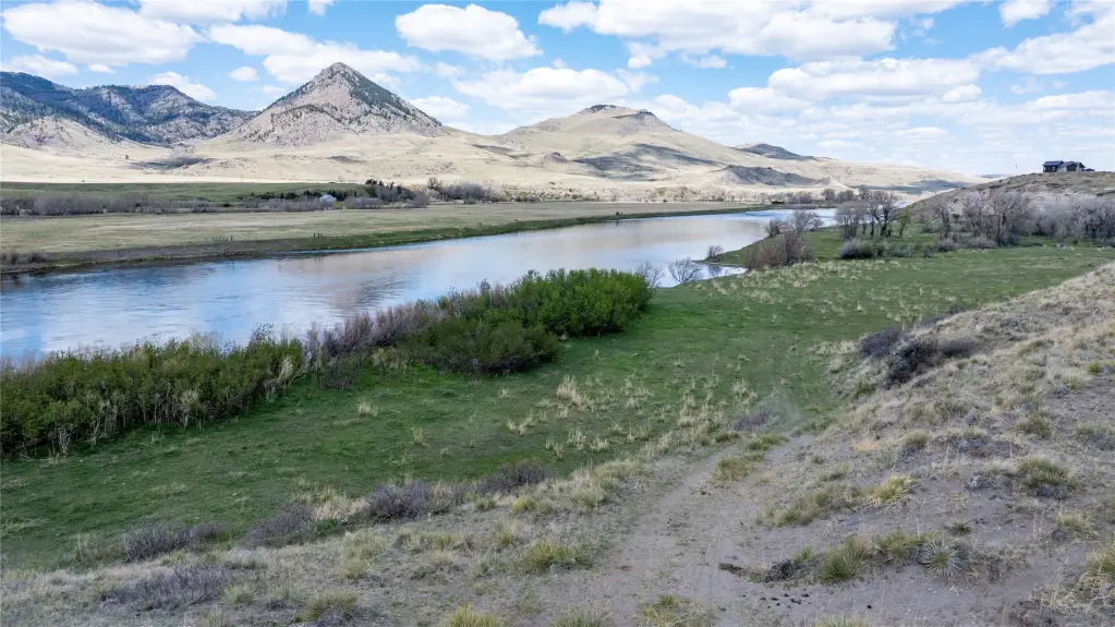
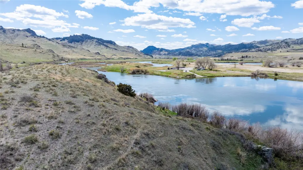
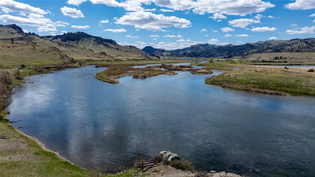
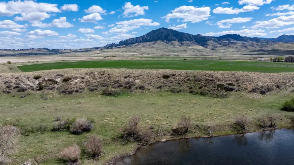
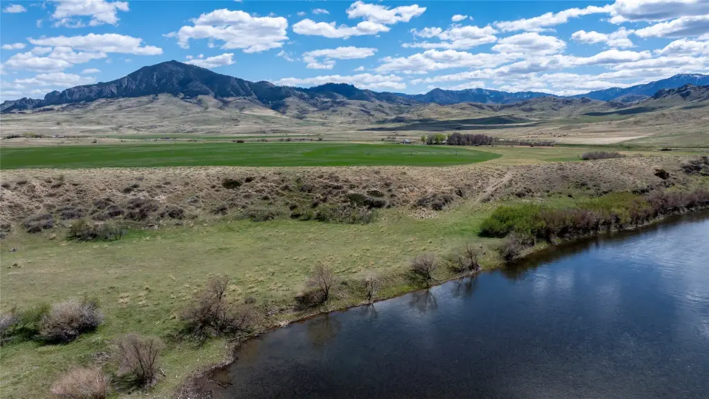
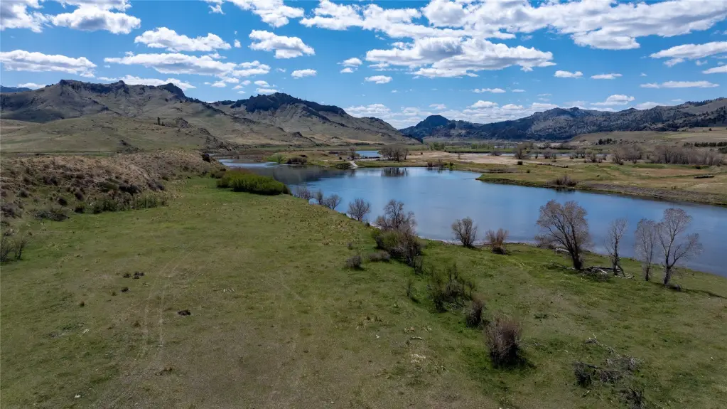
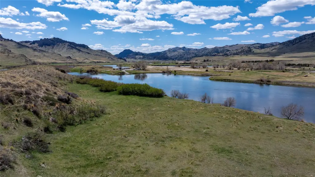
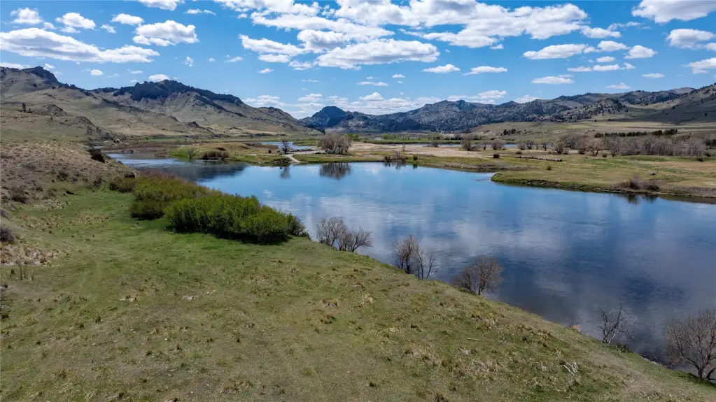
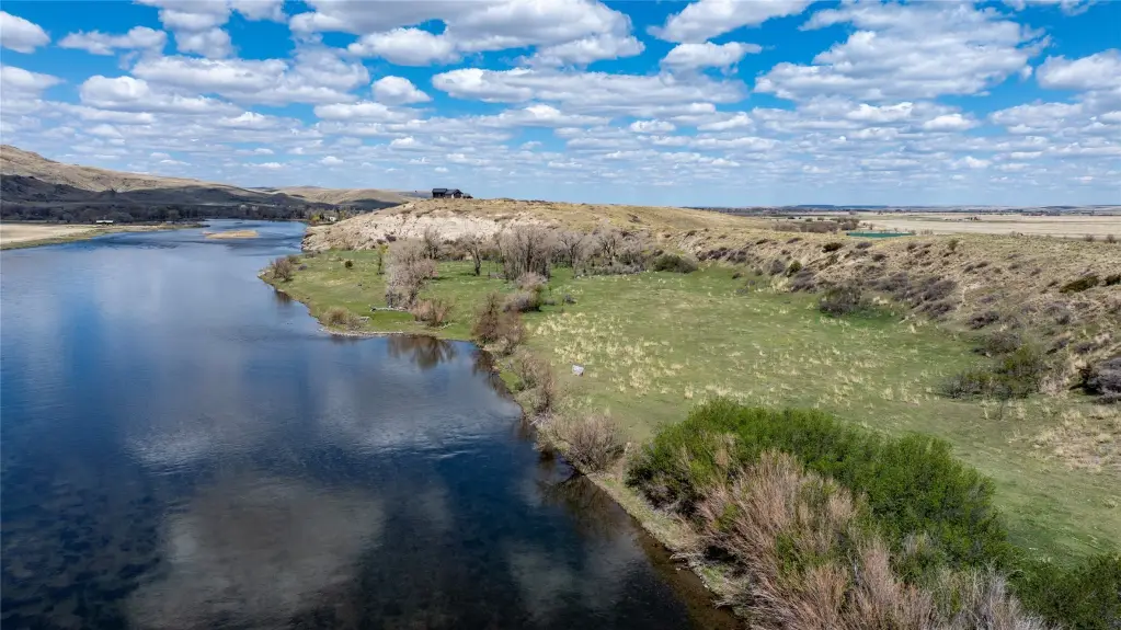
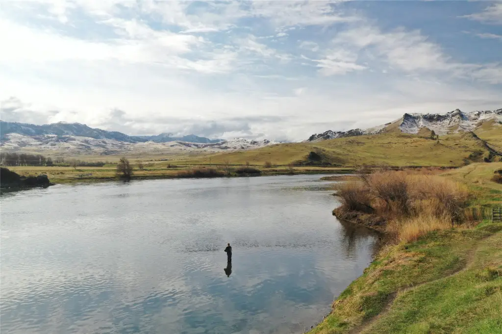
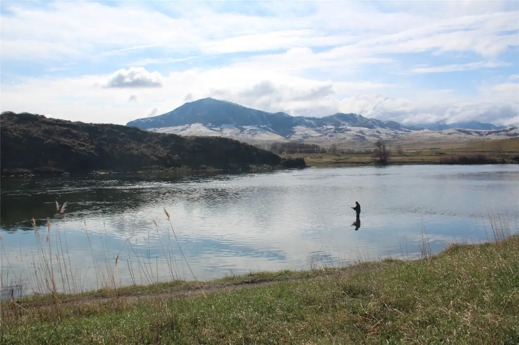
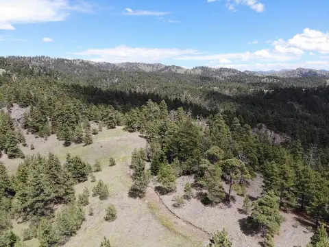
Bluff, Meadow, Pasture, Rock Outcropping, Secluded, Views
Directions
Cross bridge at Cascade, go app. 2-3 miles turn right on Sheep Creek Road, stay on sheep Creek Road until you see the Real Estate sign this is the entrance to the property.
Standard status
Active
APN
02266529101010000
Lot size
20.00 Acres
Taxes and HOA fees
Tax Year
2024
Tax Description
17 N, R01 W, IN NW4, N OF SHEEP CREEK RD MK 2 Last Modified: 4/5/2025 6:9:47 AM
Tax Annual Amount
317
Legal Description
17 N, R01 W, IN NW4, N OF SHEEP CREEK RD MK 2 Last Modified: 4/5/2025 6:9:47 AM
Utilities
Water front features
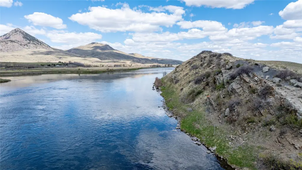
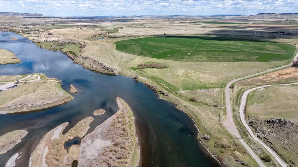
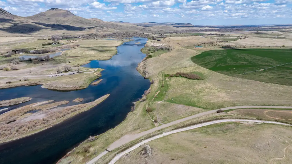
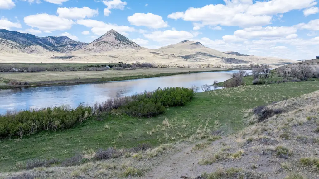
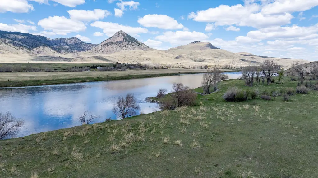
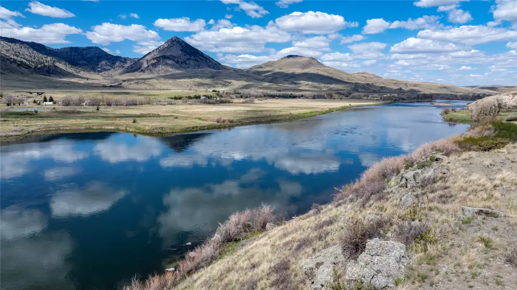
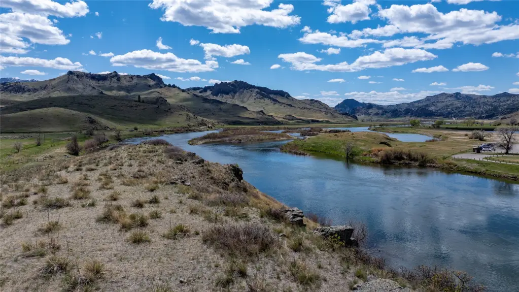
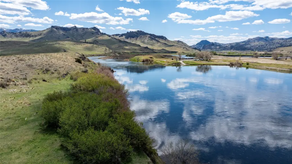
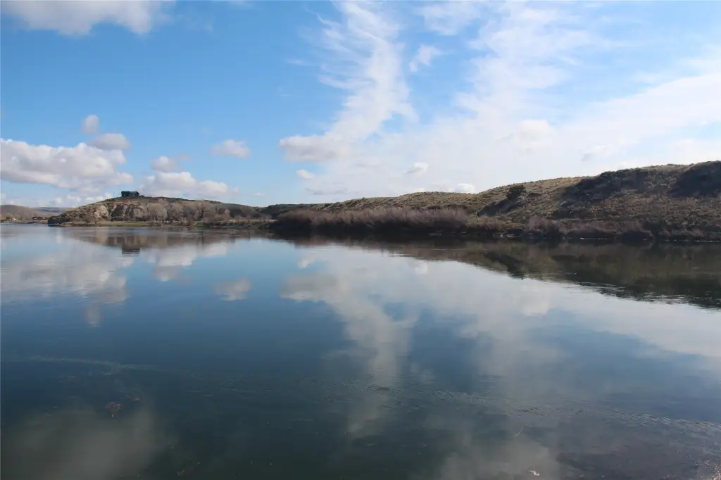
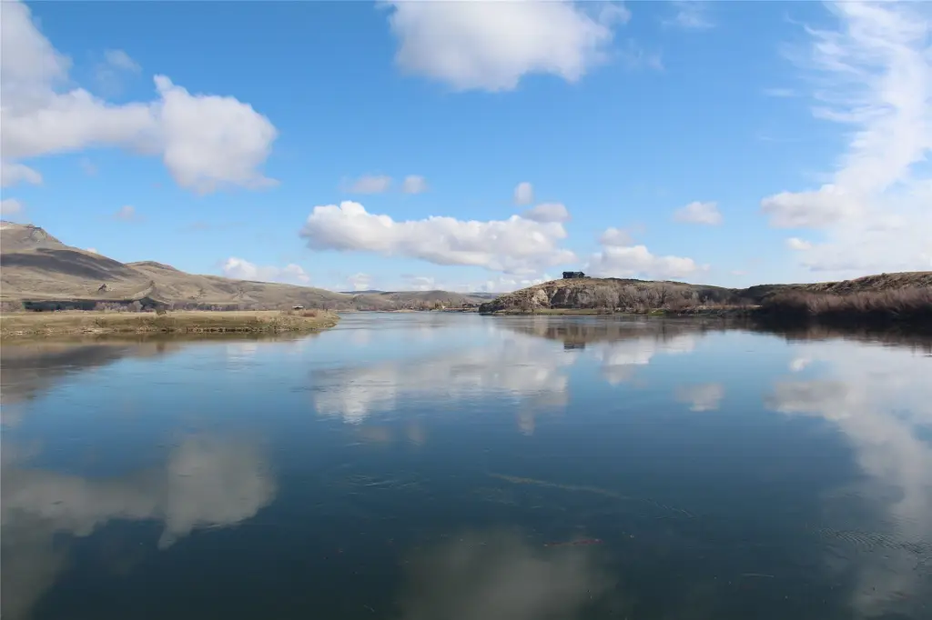
River Front, Navigable Water, Waterfront
Water front
1
Listing Agency:
Montana's Best Realty
(406) 468-9911
Listed By:
Gym Anderson · License #RRE-BRO-LIC-12207
(406) 468-9911
Added: Apr 17, 2025
Changed: Aug 21
Last Checked: Aug 21 at 11:06PM
MLS# 30046735
Copyright © 2026 Montana Regional MLS. All rights reserved. All information provided by the listing agent/broker is deemed reliable but is not guaranteed and should be independently verified.
Investment Insights
Based on property information with market context.
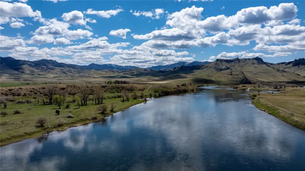
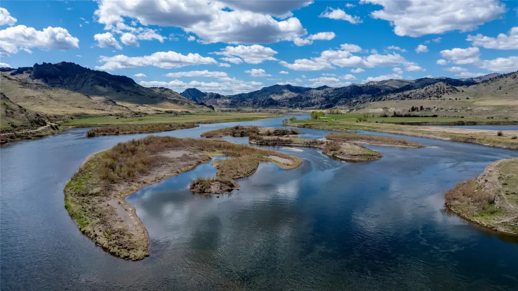
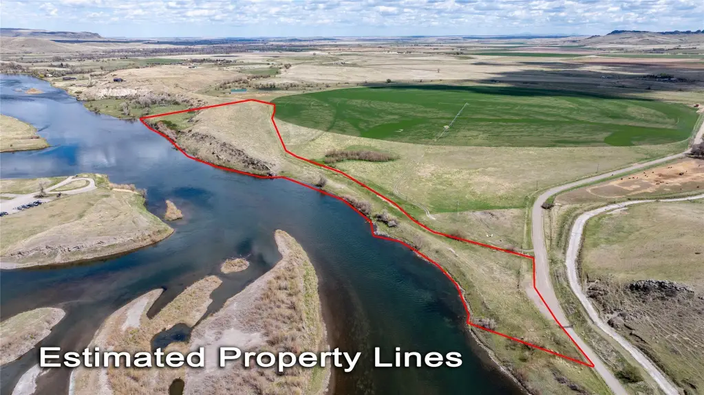
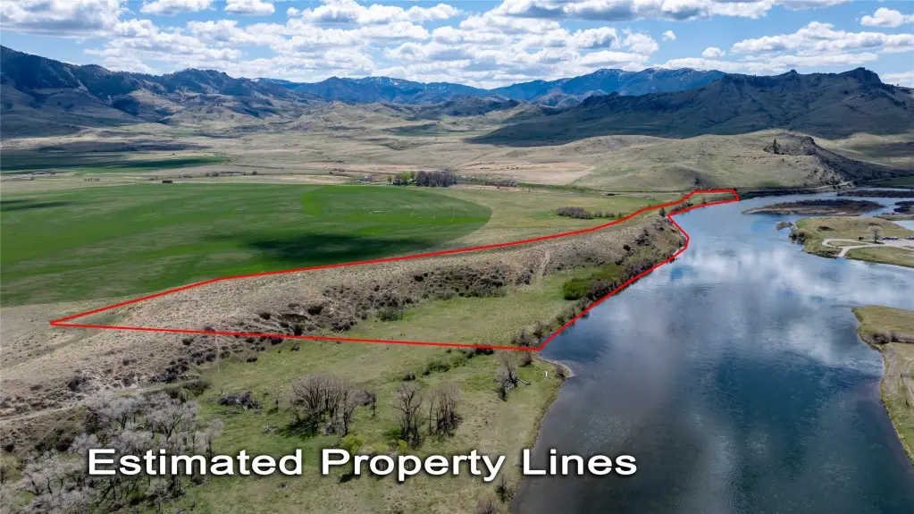
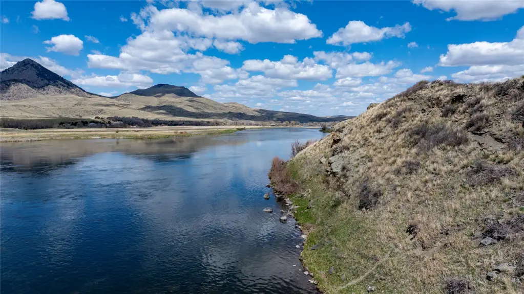
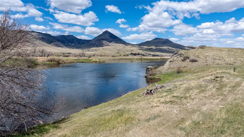
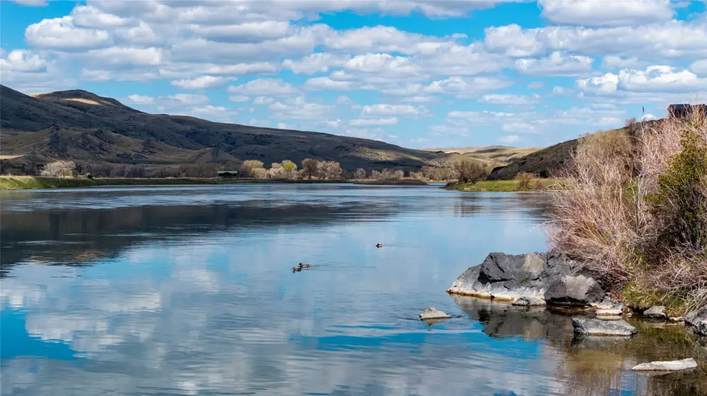
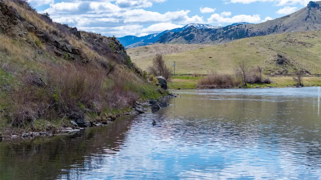
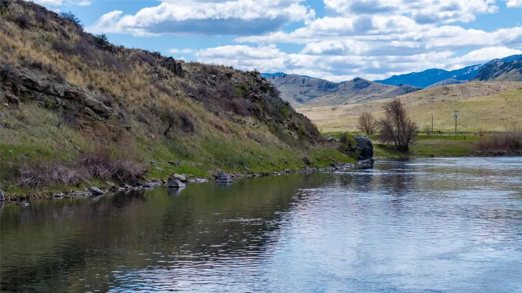
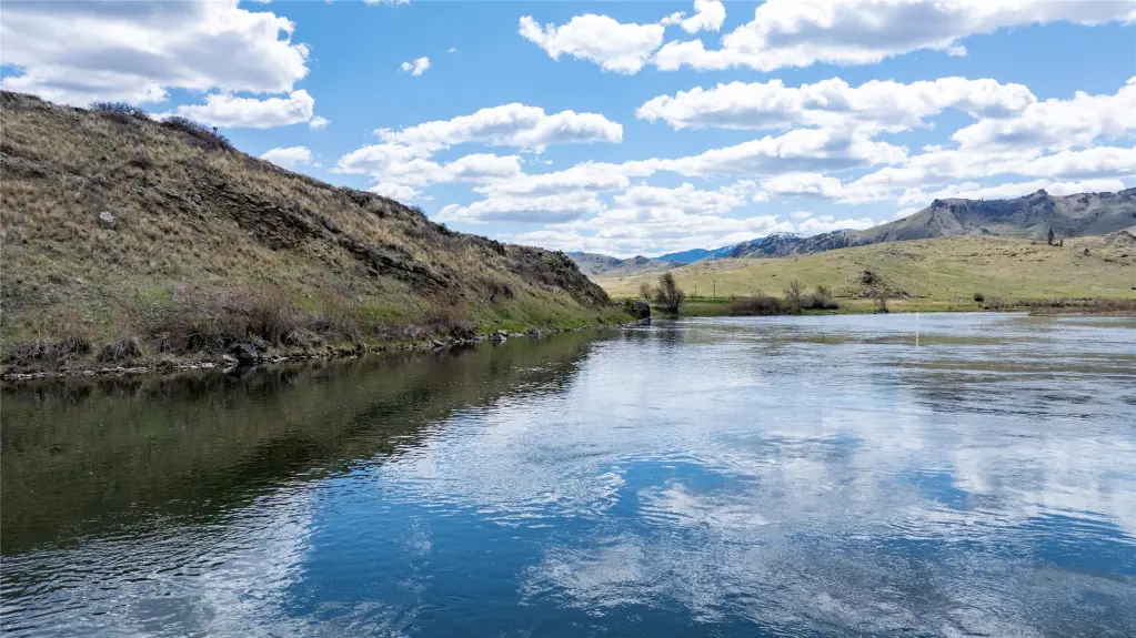
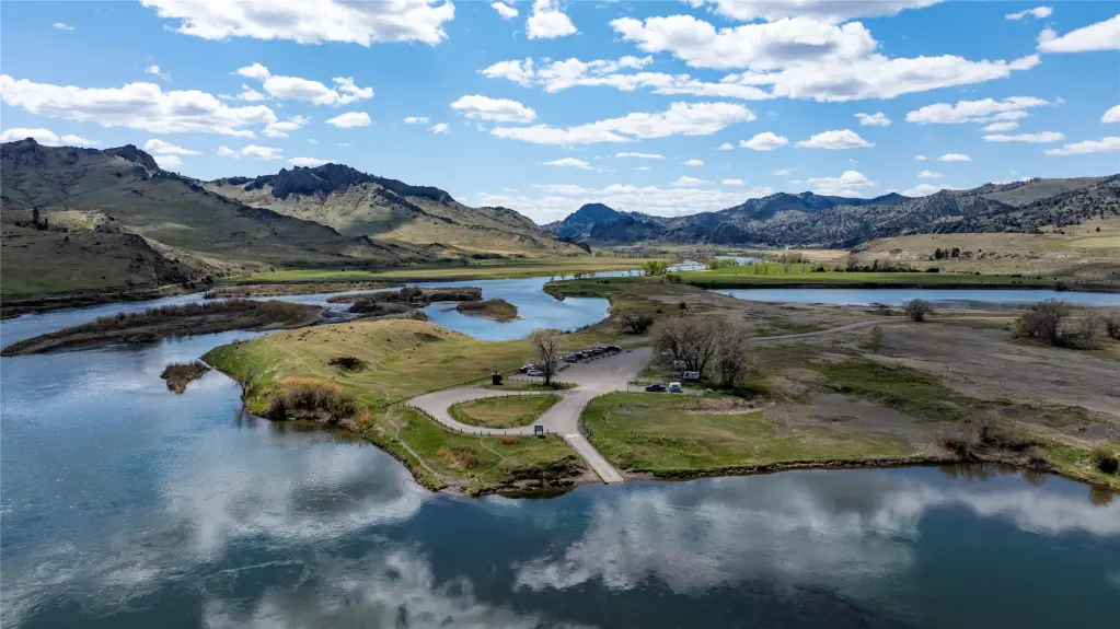
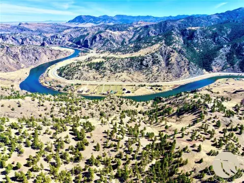
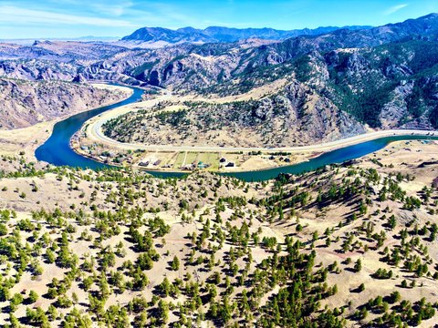
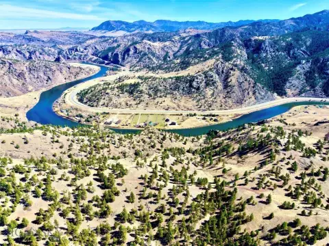
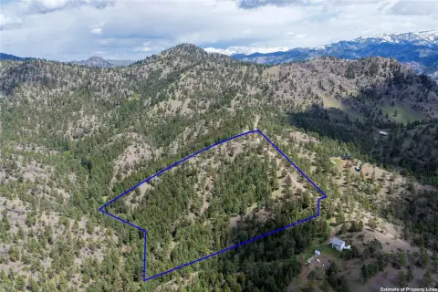
This 20-acre waterfront parcel includes approximately 2,640 feet of Missouri River shoreline and multiple potential building areas positioned beyond the floodplain. The land is undeveloped, with electric service available near the property boundary. Views extend across the river and toward the Big Belt Mountains, Cascade Butte, and Tower Rock.
Access is provided by a maintained county road, paved state highway, and a private road without through-traffic. The property is southwest of Cascade and approximately 33 miles from Great Falls International Airport. Outdoor activities identified for the area include fly fishing, floating, kayaking, hiking, ATV riding, horseback riding, and hunting. Nearby state land and block management private land add to the surrounding recreational setting.
The property carries no-subdivision covenants and is described as suitable for a private fishing lodge, vacation rental, or full-time residence.
Access is provided by a maintained county road, paved state highway, and a private road without through-traffic. The property is southwest of Cascade and approximately 33 miles from Great Falls International Airport. Outdoor activities identified for the area include fly fishing, floating, kayaking, hiking, ATV riding, horseback riding, and hunting. Nearby state land and block management private land add to the surrounding recreational setting.
The property carries no-subdivision covenants and is described as suitable for a private fishing lodge, vacation rental, or full-time residence.
Key Highlights
- 20 acres with approximately 2,640 feet of Missouri River shoreline
- Multiple potential building sites positioned beyond the floodplain
- Electric service available close to the property boundary
Property Analytics
Property Profile
Current Use
Lease Details
Yes
Highway access
Yes
Paved road access
Location Intelligence
Trade Area within ½ mile
2
Businesses Nearby
Explore this area
Business Placement
Demographics for 59421, MT
2,057
Population
1,439
Households
1.4
Avg Household Size
53
Median Age
30%
College-Educated
92%
High-School Grad
746.6 sq mi
ZIP Area
3
Density / Sq Mi
$71,688
Median Household Income
$45,045
Median Earnings
$1,014
Median Rent
$337,200
Median Home Value

Questions? Ask Rey
Realmo’s AI knows this listing — price, zoning, demand, history. Ask anything.




Frequently Asked Questions
What type of property is this?
Waterfront Land - Undeveloped acreage offers multiple building sites beyond the floodplain and access to fishing, boating, hiking, and hunting.
Where is this waterfront land located?
The property is located at 754 Sheep Creek Road Cascade, MT.
What is the asking price?
The asking price for this property is $1,950,000.
What are key features of this property?
This property features: 20 acres with approximately 2,640 feet of Missouri River shoreline; Multiple potential building sites positioned beyond the floodplain; Electric service available close to the property boundary



