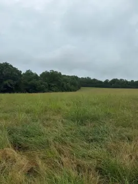
Land Near Bull Shoals
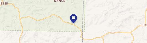
20-0.3-08-000-0 LOST MINE ROAD Theodosia, MO 65761
20-0.3-08-000-0 LOST MINE ROAD, Theodosia, MO, 65761
$69,600
For Sale
$69,600
LAND - Theodosia, MO
Lot Size3.67 Acres
Days on Market126
Property Features for 20-0.3-08-000-0 LOST MINE ROAD
General Information
- Property type
- Land
- Property subtype
- Other
- Standard status
- Active
- APN
- 20-0.3-08-000-000-0002046
- Lot size
- 3.67 Acres
Taxes and HOA fees
- Tax Year
- 2025
- Tax Description
- Lots 29,33,38,39,44 & 45 Ozark County Est.
- Tax Annual Amount
- 262
Utilities
- Water front
- 1
Listing agency
PEGLAR REAL ESTATE GROUP
(870) 425-4300
Listed by
Kyler Robbins
(870) 425-4300
Added: Mar 20 Updated: Jun 5 at 3:53AM Checked: Jul 23 at 9:06AM
MLS# 133670
Copyright © 2026 North Central Board of Realtors. All rights reserved. All information provided by the listing agent/broker is deemed reliable but is not guaranteed and should be independently verified.
Investment Insights
Based on property information with market context.
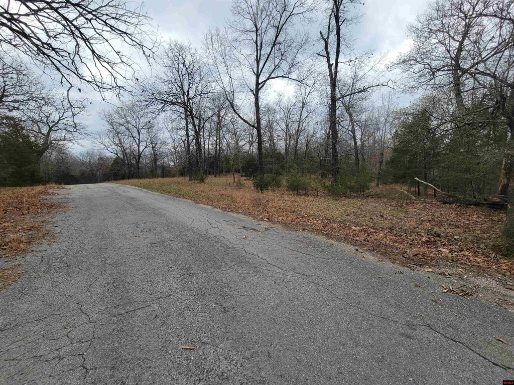
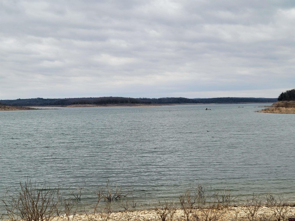
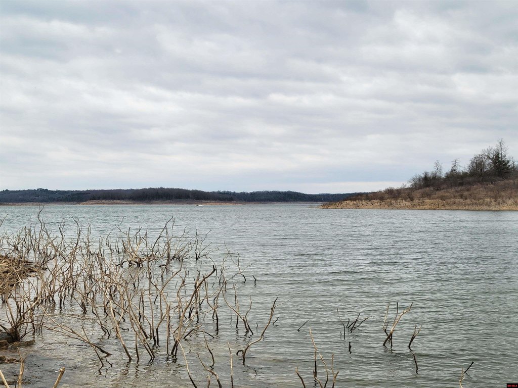
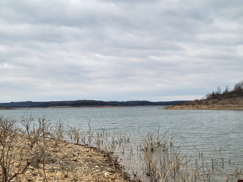
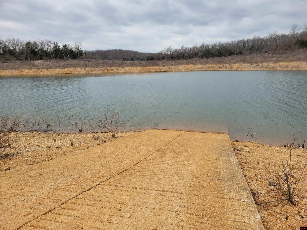
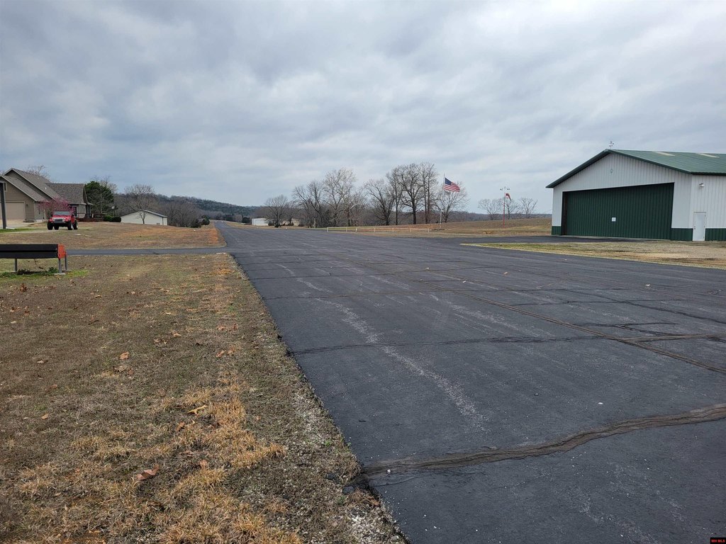
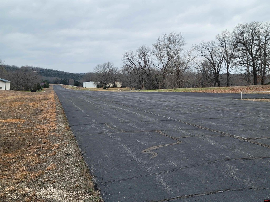
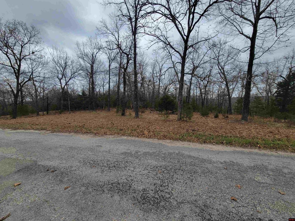
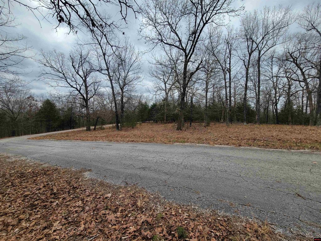
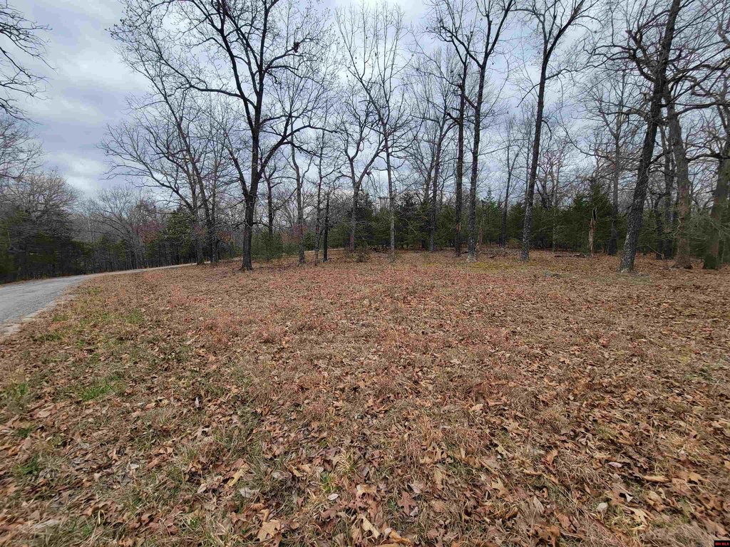
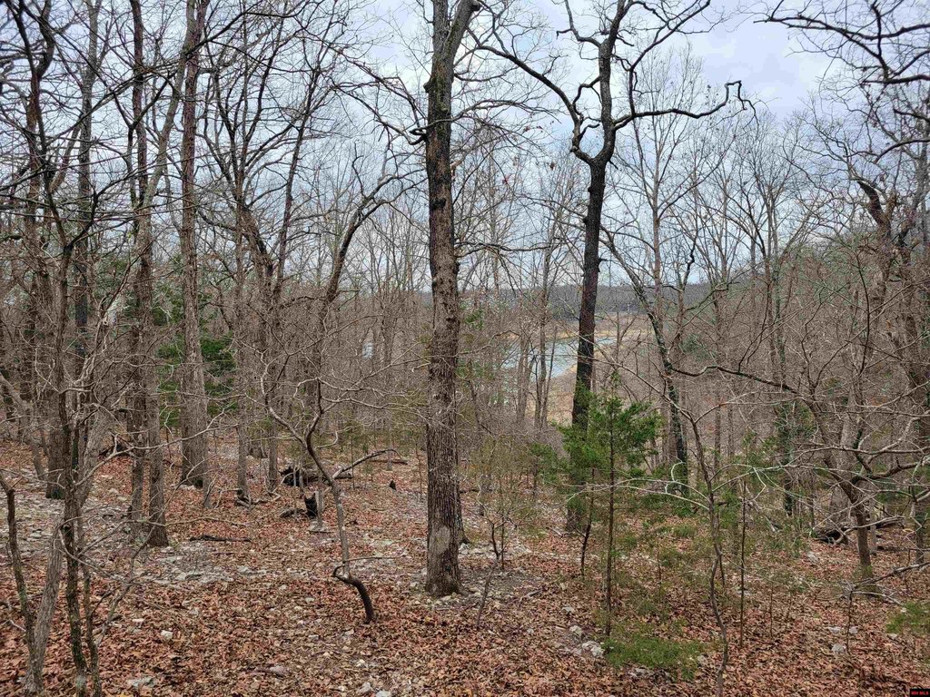
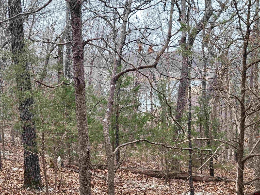
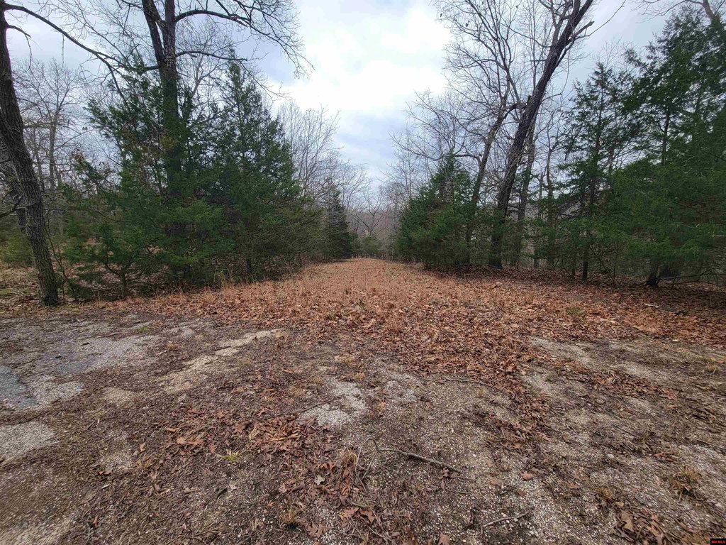
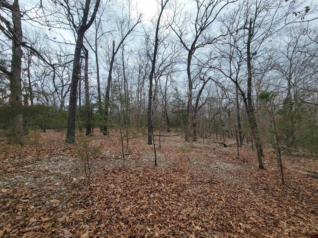
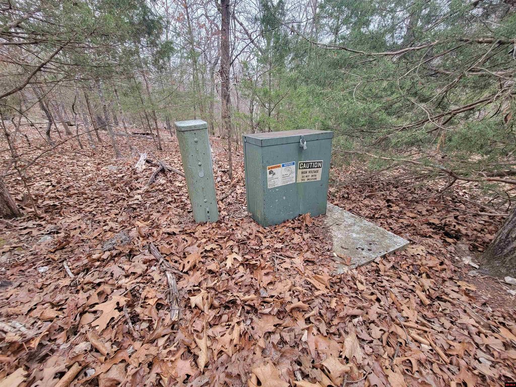
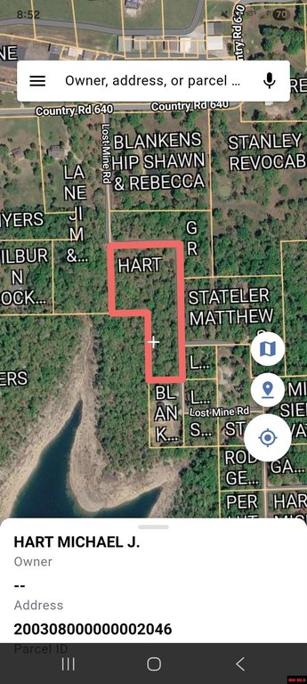
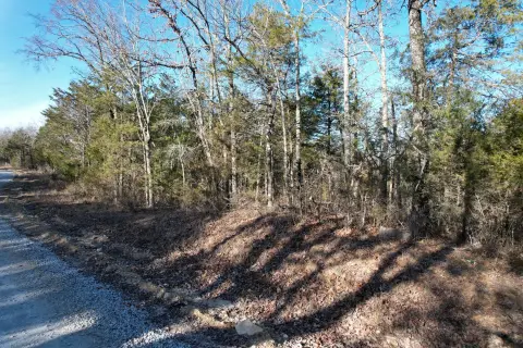
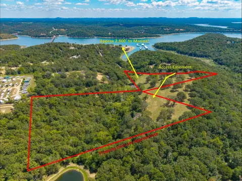
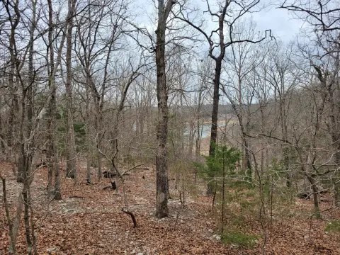
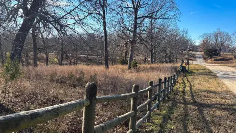
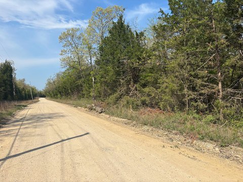
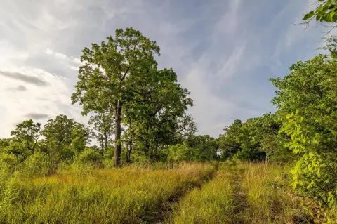
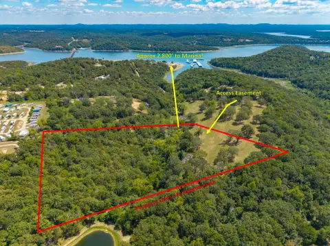
This 3.67-acre wooded property is located in Theodosia, AR, and adjoins Corps of Engineers land at Bull Shoals Lake. The site has existing electric utilities and multiple potential building spots, many offering lake views. The adjoining Corps land provides privacy and direct outdoor access. Aviation enthusiasts will appreciate access to Lost Mine Airport, which features a 3,000-ft asphalt runway. This property is suitable for a custom home, vacation retreat, or fly-in lake getaway. A boat ramp is located 1/2 mile away.
Key Highlights
- Direct access to Corps of Engineers land adjoining Bull Shoals Lake.
- 3.67 wooded acres with multiple building spots and potential lake views.
- Access to Lost Mine Airport with a 3,000‑ft asphalt runway.
Property Analytics
Location Intelligence
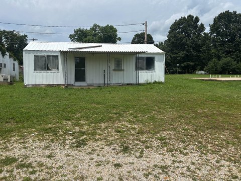
Current Use by Public Records
Residential land & home ...
Similar For Sale Nearby
FAQs
What type of property is this?
Land - 3.67 acres near lake with utilities and runway access.
Where is this land located?
The property is located at 20-0.3-08-000-0 LOST MINE ROAD Theodosia, MO.
What is the asking price?
The asking price for this property is $69,600.
What are key features of this property?
This property features: Direct access to Corps of Engineers land adjoining Bull Shoals Lake.; 3.67 wooded acres with multiple building spots and potential lake views.; Access to Lost Mine Airport with a 3,000‑ft asphalt runway.


