County Road 640, Theodosia, MO 65761
- Added:
- Jan 7, 2026
- Days on Market:
- 177
- Last Refresh:
- Jul 3 at 12:06 am
Property Features for County Road 640
General Information
- Property type
- Land
- Property subtype
- Other
- Fencing
- Perimeter, Barbed Wire
- Standard status
- Active
- APN
- 2003080000000002039
- Lot size
- 5.60 Acres
Taxes and HOA fees
- Tax Year
- 2025
- Tax Annual Amount
- 217
Utilities
- Utilities
- Electricity Available
Listing agent H K Gaulding License #2019007115 (417) 273-4212
Listing office Sierra Ozark Corporation 5957 US Highway 160, Theodosia, MO (800) 270-4212
Listing date Jan 7, 2026
Copyright © 2026 Southern Missouri Regional MLS, LLC (SOMO). All rights reserved. All information provided by the listing agent/broker is deemed reliable but is not guaranteed and should be independently verified.
HighLights
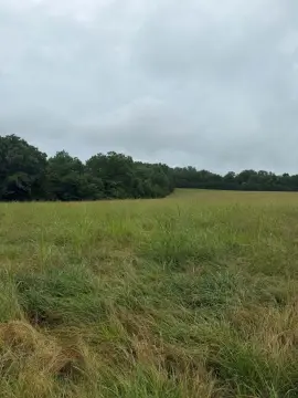
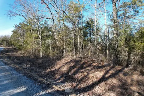
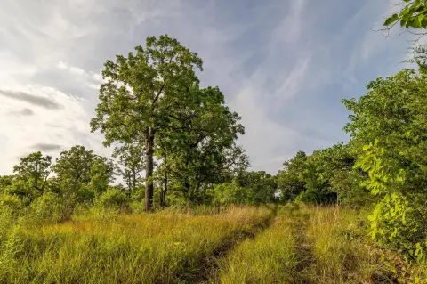
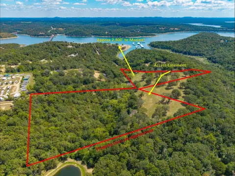
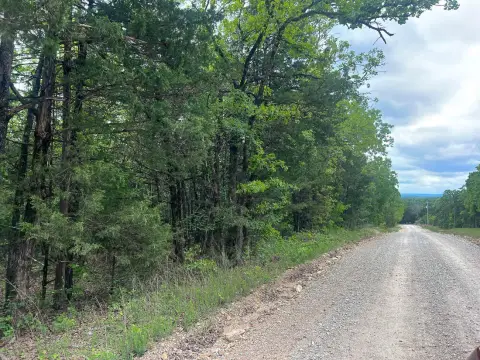
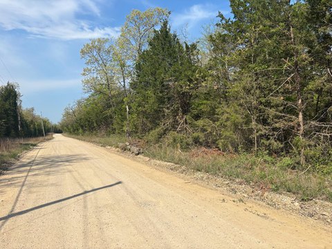
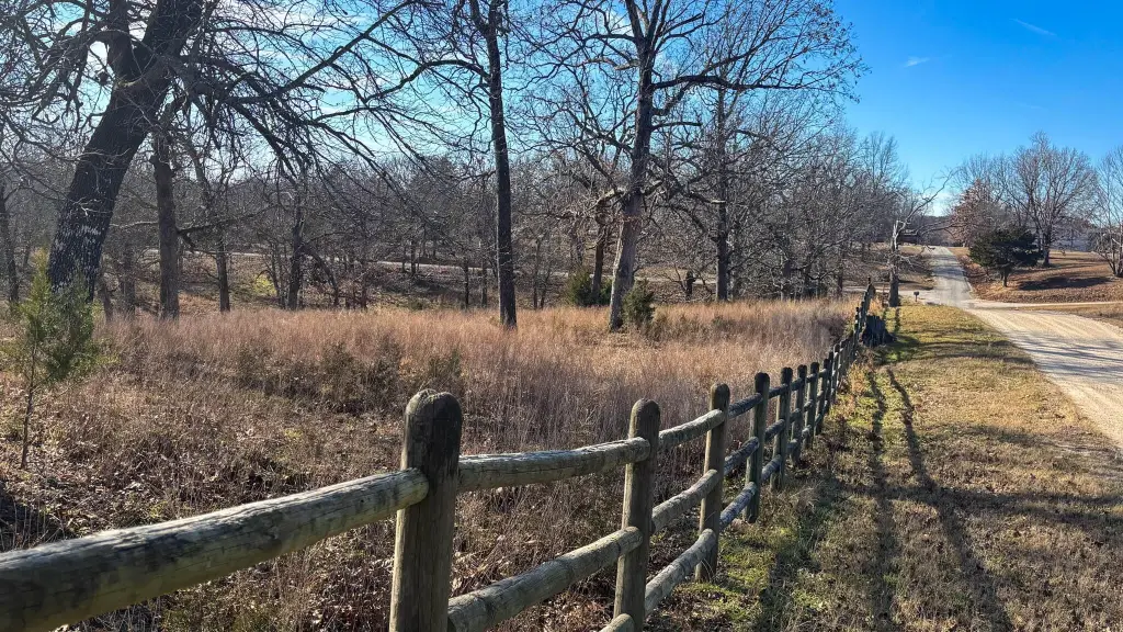
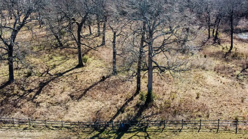
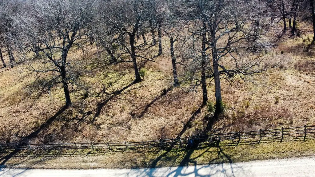
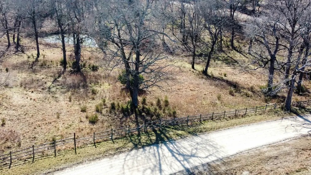
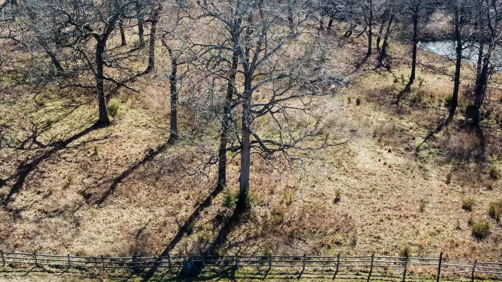
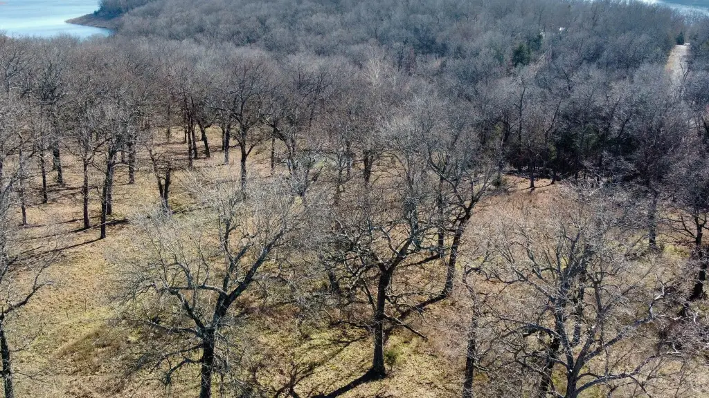
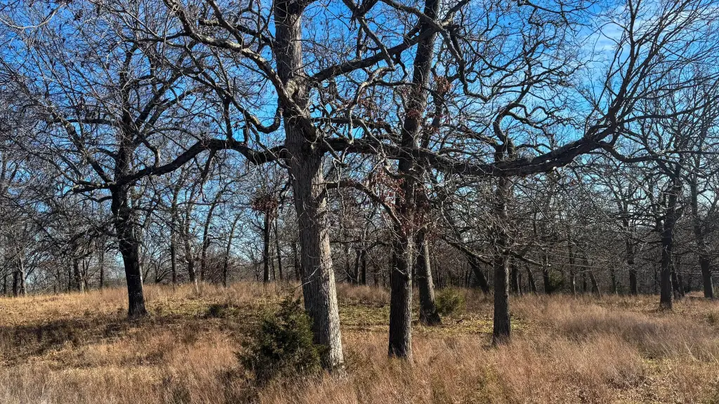
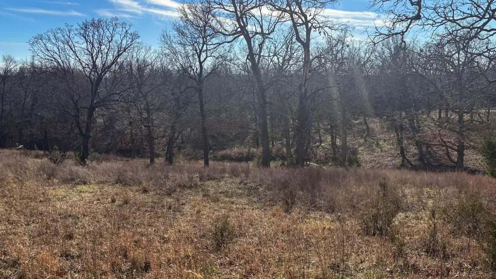
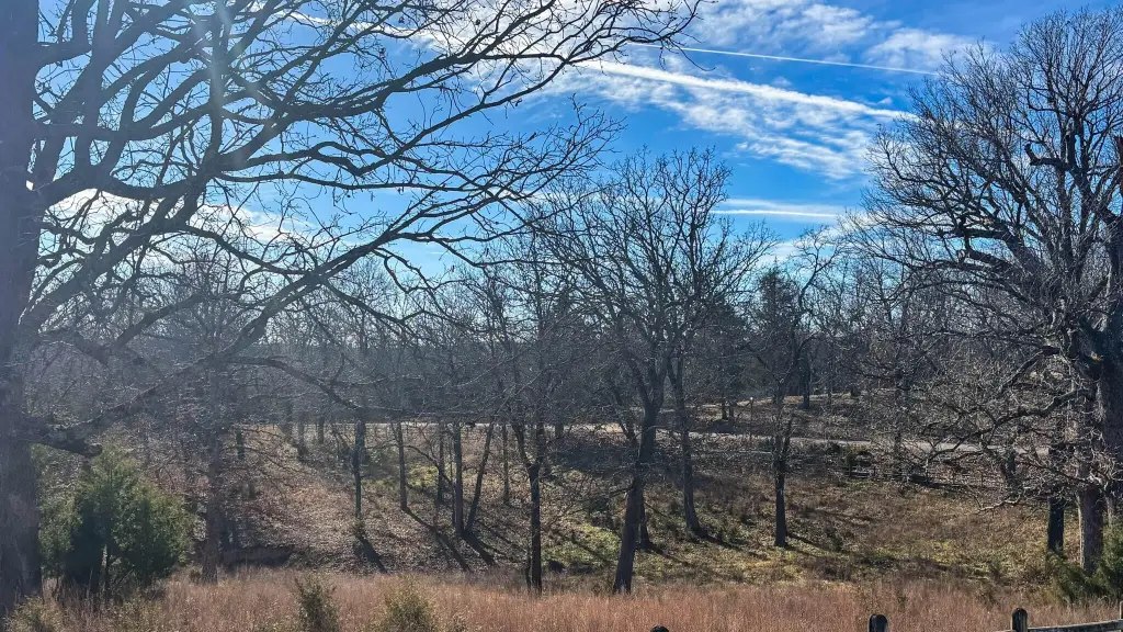
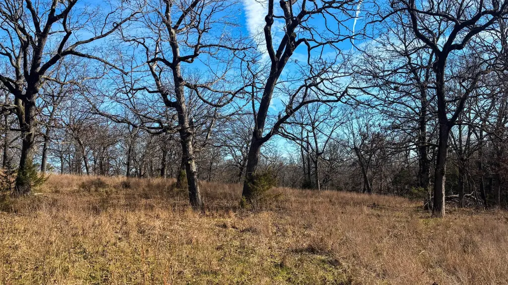
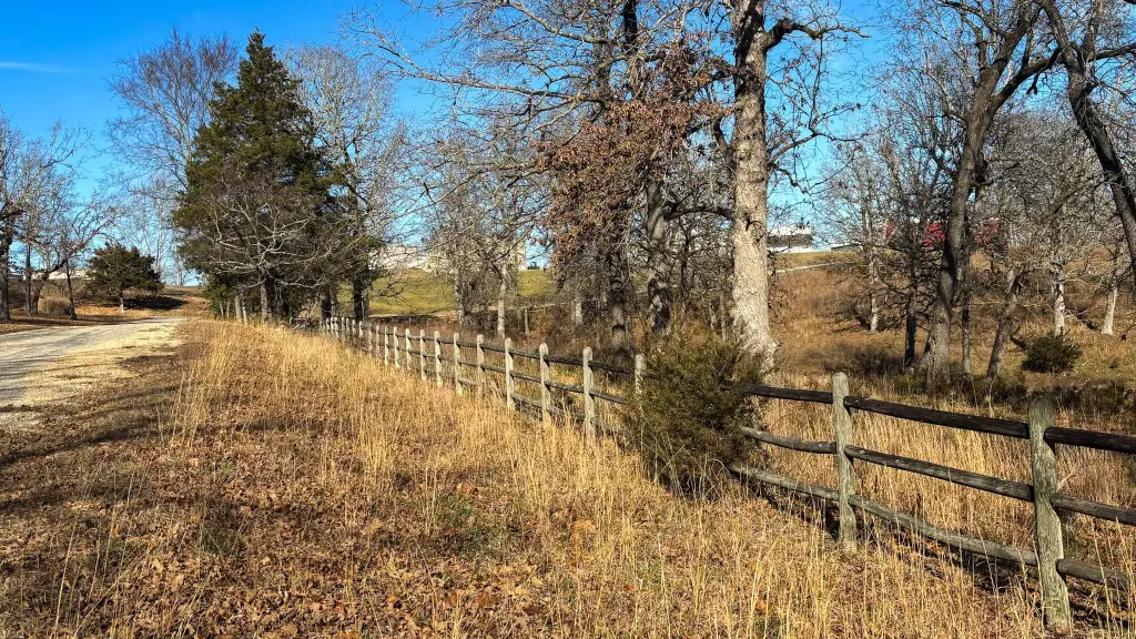
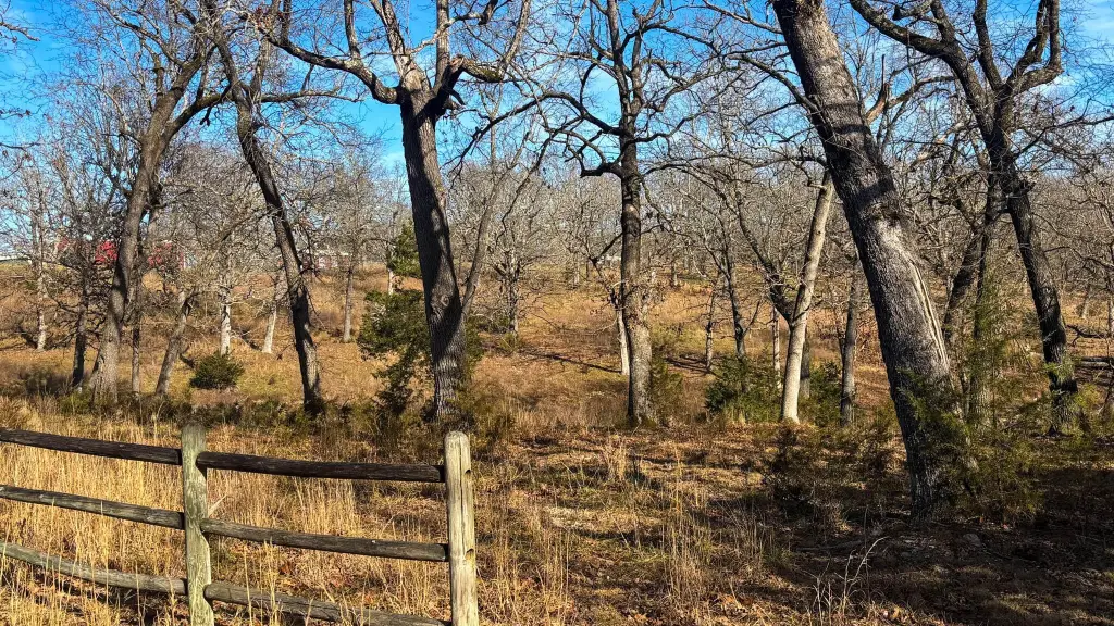
- 5.6‑acre corner lot in Lost Mine Ranch/Ozark Country Estates with level to gently rolling pasture.
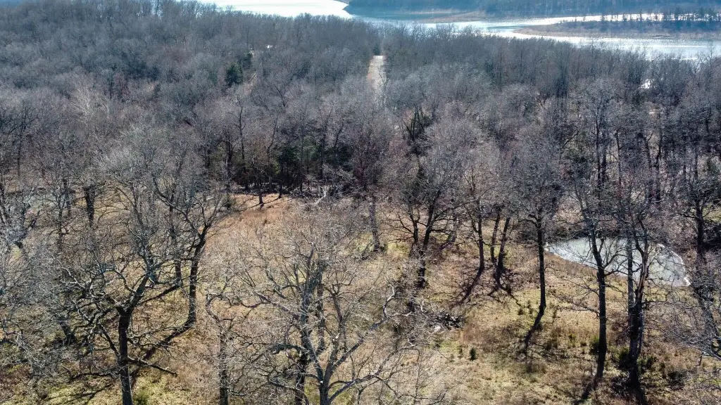
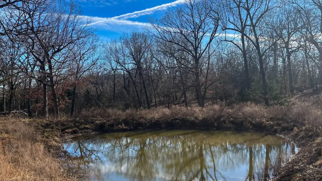
- Pond on the property and mature shade trees throughout.
- 3‑rail wooden fencing on 2 sides plus regular fencing on the other 2 sides; perimeter fencing with barbed wire.
- Livestock and horses are permitted.
- Utilities: electricity available.
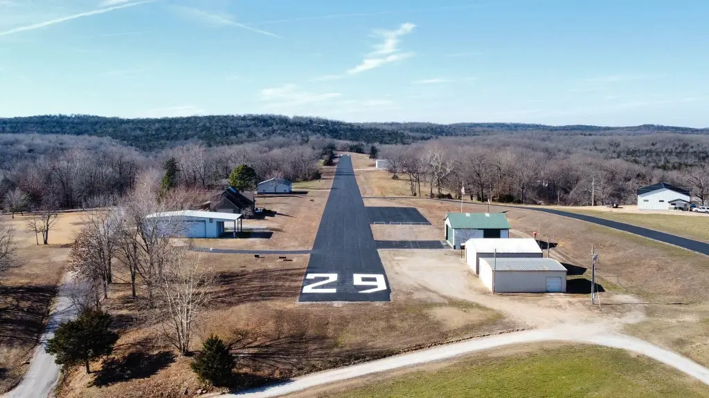
- Access to private 3,000 ft paved runway MO56 with VASI and PAL lighting and tie‑down access.
Overview
Located in the Lost Mine Ranch / Ozark Country Estates airpark neighborhood, the property also provides access to a private 3,000-foot paved runway identified as MO56, including VASI and PAL lighting and tie-down access. A concrete boat launch at Bull Shoals Lake is described as nearby, and the area includes low-volume airplane activity associated with takeoffs and landings.
Suitable for buyers looking to own land for an equestrian setup where livestock and horses are permitted, this acreage combines pasture fencing, water on-site via the pond, and airpark runway access for aviation-oriented use. The layout supports placing improvements with views over the pond and surrounding trees while keeping animals secured within the fenced grounds.
Current Use by Public Records
Map
- City
- Theodosia
- County
- Ozark
- State
- Missouri
- Longitude
- -92.636246
- Latitude
- 36.51277