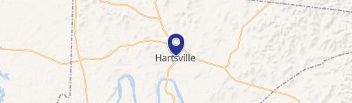
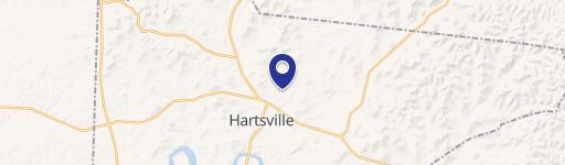
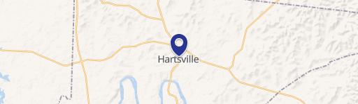
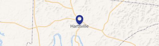
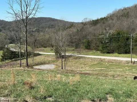
Hwy 10 Hartsville, TN 37074
In the General Services District, where a use is developed in areas zoned (C-1 or M-1) which abuts at any point upon property zoned (A-1, R-1, and R-2), the developer of said use shall provide a buffer strip as defined herein at the point of abutment. (See definitions section.) In the Urban Services District, where a use requiring a site plan to be filed in…
Cap rate
Implied · in-place · derived from last sale + estimated NOIValue
AI, CAP & Alternative Use estimations · Realmo proprietary blendProperty tax & assessments
Tax year 2023Comparables
6 recent transactions · within 1.5 miComparable in this City


Similar Nearby for Sale


Property description
Physical attributes from public recordsZoning & alternative use
C-1 · Hartsville, TNIn the General Services District, where a use is developed in areas zoned (C-1 or M-1) which abuts at any point upon property zoned (A-1, R-1, and R-2), the developer of said use shall provide a buffer strip as defined herein at the point of abutment. (See definitions section.) In the Urban Services District, where a use requiring a site plan to be filed in accordance with
Costs & Benchmarks
Operating expenses, capex projections, utility benchmarks, and submarket comparables — all in one view.
Risks
Flood, climate, environmental, title, and tenant-concentration risk — surfaced with mitigations and source citations.


