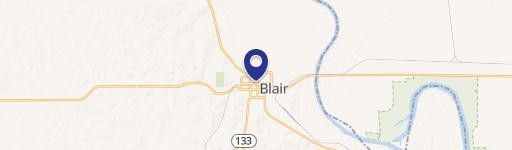
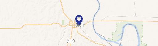
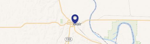
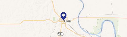
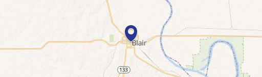
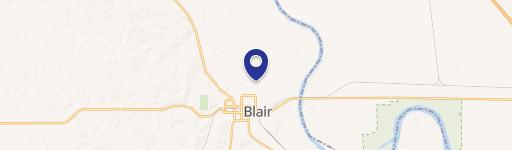
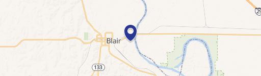
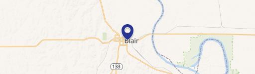
9330 State Hwy 133 Blair, NE 68008-6179
Property profile & analytics
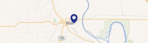
9330 State Hwy 133, Blair, NE 68008-6179
- Warehouses
- 31,852 SF
- 22.93 lot acres
Property ID
US57-0042483
The Realmo ID is a unique identifier assigned to every property, incorporating country codes and precise geo-coordinates for 300x300-foot land blocks. It enables standardized data collection and seamless integration of disparate sources such as ownership, tax, title data and physical specifications. By aggregating current and historical records, the Realmo ID powers advanced analytics and delivers deep, verifiable insights for real estate professionals.
Location Intelligence
Current Use by Public Records
- Warehouses
Property Details for 9330 State Hwy 133
- Year built
- 2003
- Lot size
- 22.93 lot acres
- Zone code
- 03-COMMERCIAL
- Property type
- Warehouses
- Property subtype
- Self storage facilities
- APN
- 890020300
- APU
- 890020300
Sales History
| Date | Price | Buyer | Seller | Deed Type | Mortgage |
|---|---|---|---|---|---|
| Oct 30, 2024 | $10,075,000 | Lads Blair LLC | Mutual Of Omaha Insurance Company | Special Warranty Deed | $7.6M · Valley National Bank |
Value Estimations
based on Realmo’s proprietary methodology
-
Comparable approach
- Method
- Estimation
- AI Estimate
- $2,541,000
Market price range: $968k - $2.54M -
Alternative Use
- Use
- Estimation
- WAREHOUSE, STORAGE
- $1,895,000 Current use
- RETAIL STORES
- $3,175,000 Change: +68% Conversion: Moderate
- RESTAURANT
- $3,160,000 Change: +67% Conversion: Difficult
- COMMERCIAL (GENERAL)
- $3,090,000 Change: +63% Conversion: Difficult
- INDUSTRIAL (GENERAL)
- $2,330,000 Change: +23% Conversion: Easy
- AUTO REPAIR, GARAGE
- $2,140,000 Change: +13% Conversion: Easy
Get a detailed, property-specific estimation — fast and free
Location Insight
- Map
- Local Demand
- City
- Blair
- County
- Washington
- State
- Nebraska
- Longitude
- -96.1424
- Latitude
- 41.5145
- CBSA code
- 36540
- CBSA name
- OMAHA-COUNCIL BLUFFS, NE-IA METROPOLITAN STATISTICAL AREA
Property Tax & Assessments
Tax date
Tax Amount
Assessed Land Value
Assessed Improvement Value
Total Assessed Value
Applied Tax Rate
Land Market Value
Improvement Market Value
Total Market Value
2023
$143,419
$249,730
$8,959,005
$9,208,735
-
$249,730
$8,959,005
$9,208,735