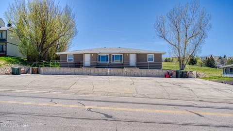
7011 Robin Dr Gillette, WY 82718-2056
Property profile & analytics
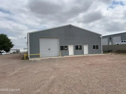
7011 Robin Dr, Gillette, WY 82718-2056
- Residential income homes
- 3,328 SF
- 0.28 lot acres
Property ID
US95-0072454
The Realmo ID is a unique identifier assigned to every property, incorporating country codes and precise geo-coordinates for 300x300-foot land blocks. It enables standardized data collection and seamless integration of disparate sources such as ownership, tax, title data and physical specifications. By aggregating current and historical records, the Realmo ID powers advanced analytics and delivers deep, verifiable insights for real estate professionals.
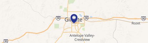
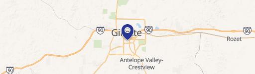
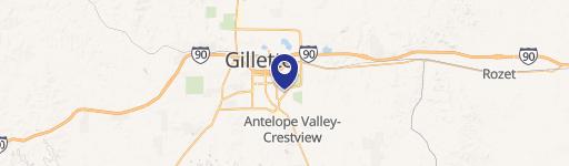
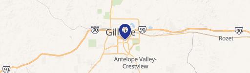
Location Intelligence
Current Use by Public Records
- Residential income homes
Property Details for 7011 Robin Dr
- Year built
- 2006
- Construction
- FRAME
- Lot size
- 0.28 lot acres
- Property type
- Residential income homes
- Property subtype
- Small apartment buildings
- APN
- R0041687
- APU
- R0041687
Sales History
| Date | Price | Buyer | Seller | Deed Type | Mortgage |
|---|---|---|---|---|---|
| Oct 5, 2021 | — | Gcc Properties LLC | Tate D Schipporeit | Warranty Deed | $205k · Pinnacle Bank Wyoming |
| Nov 27, 2013 | — | Tate D Schipporelt | Es Investments LLC | Warranty Deed | $175k · Pioneer Bank & Trust |
| Nov 27, 2006 | — | Es Investments LLC | Tate D Schipporeit | Warranty Deed | — |
Value Estimations
based on Realmo’s proprietary methodology
-
AI approach
-
CAP approach
-
Comparable approach
-
Alternative Use
Get a detailed, property-specific estimation — fast and free
Location Insight
- Map
- Local Demand
- City
- Gillette
- County
- Campbell
- State
- Wyoming
- Longitude
- -105.46
- Latitude
- 44.2305
- CBSA code
- 23940
- CBSA name
- GILLETTE, WY MICROPOLITAN STATISTICAL AREA
Property Tax & Assessments
Tax date
Tax Amount
Assessed Land Value
Assessed Improvement Value
Total Assessed Value
Applied Tax Rate
Land Market Value
Improvement Market Value
Total Market Value
2023
$1,683
$4,036
$19,891
$23,927
-
$42,488
$209,376
$251,864