7 Ryandale Rd Lagrangeville, NY 12540-5107
Property profile & analytics
7 Ryandale Rd, Lagrangeville, NY 12540-5107
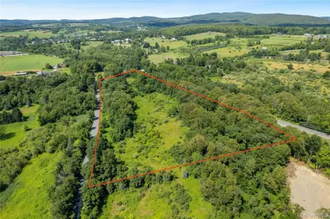
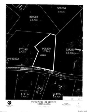
- Mining land & claims
- 2,700 SF
- 51.80 lot acres
Property ID
US63-3345341
The Realmo ID is a unique identifier assigned to every property, incorporating country codes and precise geo-coordinates for 300x300-foot land blocks. It enables standardized data collection and seamless integration of disparate sources such as ownership, tax, title data and physical specifications. By aggregating current and historical records, the Realmo ID powers advanced analytics and delivers deep, verifiable insights for real estate professionals.
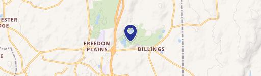
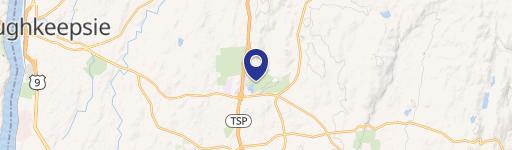
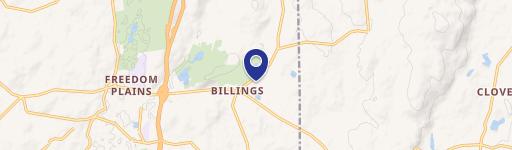
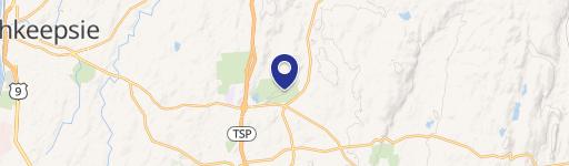
Location Intelligence
Current Use by Public Records
- Mining land & claims
Property Details for 7 Ryandale Rd
- Year built
- 1965
- Lot size
- 51.80 lot acres
- Zone code
- RLD
- Property type
- Mining land & claims
- APN
- 133400 6561-04-835340-0000
- APU
- 9223372036854775807
Sales History
| Date | Price | Buyer | Seller | Deed Type | Mortgage |
|---|---|---|---|---|---|
| Jan 19, 2011 | — | Richard Ryan Excavation INC | Red Wing Properties INC | Grant Deed | — |
Value Estimations
based on Realmo’s proprietary methodology
-
AI approach
-
CAP approach
-
Comparable approach
-
Alternative Use
Get a detailed, property-specific estimation — fast and free
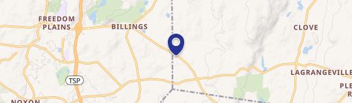
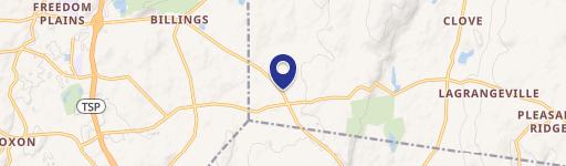
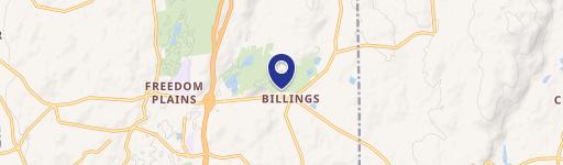
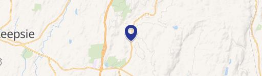
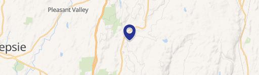
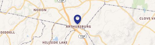
Location Insight
- Map
- Local Demand
- City
- Lagrangeville
- County
- Dutchess
- State
- New York
- Longitude
- -73.7537
- Latitude
- 41.6822
- CBSA code
- 39100
- CBSA name
- POUGHKEEPSIE-NEWBURGH-MIDDLETOWN, NY METROPOLITAN STATISTICAL AREA
Property Tax & Assessments
Tax date
Tax Amount
Assessed Land Value
Assessed Improvement Value
Total Assessed Value
Applied Tax Rate
Land Market Value
Improvement Market Value
Total Market Value
2020
$0.00
$465,800
$20,000
$485,800
-
$654,210
$28,090
$682,300