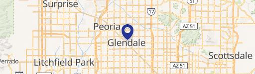
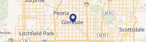
6010 57th Dr Glendale, AZ 85301-7700
Property profile & analytics
6010 57th Dr Glendale, AZ 85301-7700
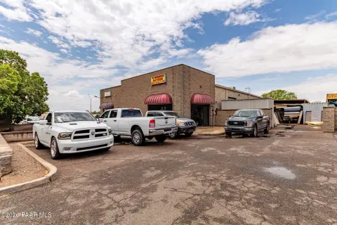
- Office buildings
- 30,800 SF
- 4.67 lot acres
Property ID
US07-0137435
The Realmo ID is a unique identifier assigned to every property, incorporating country codes and precise geo-coordinates for 300x300-foot land blocks. It enables standardized data collection and seamless integration of disparate sources such as ownership, tax, title data and physical specifications. By aggregating current and historical records, the Realmo ID powers advanced analytics and delivers deep, verifiable insights for real estate professionals.
Location Intelligence
Current Use by Public Records
- Economic Security Food Stamps / Social Service Agency / Charitable Organization
- Arizona Department of Economic Security / Government Office / Social Services Organization
Property Details for 6010 57th Dr
- Year built
- 2005
- Construction
- CONCRETE
- Lot size
- 4.67 lot acres
- Property size
- 30,800 SF
- Zone code
- M-1
- Property type
- Office buildings
- APN
- 146-11-001B
- APU
- 14611001B
Value Estimations
based on Realmo’s proprietary methodology
-
Comparable approach
- Method
- Estimation
- Statistic Estimate
- $6,871,000
- AI Estimate
- $6,871,000
Market price range: $5.19M - $18.0MMarket price range: $5.19M - $18.0M -
Alternative Use
- Use
- Estimation
- OFFICE BUILDING
- $10,610,000 Current use
- NEIGHBORHOOD: SHOPPING CENTER
- $8,900,000 Change: -16% Conversion: Difficult
Get a detailed, property-specific estimation — fast and free
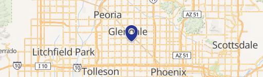
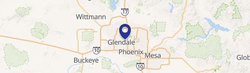
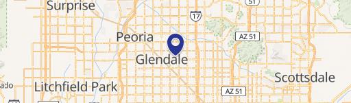
Location Insight
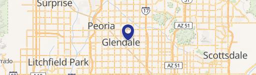
- Map
- Local Demand
- City
- Glendale
- County
- Maricopa
- State
- Arizona
- Longitude
- -112.184
- Latitude
- 33.5254
- CBSA code
- 38060
- CBSA name
- PHOENIX-MESA-SCOTTSDALE, AZ METROPOLITAN STATISTICAL AREA
Property Tax & Assessments
Tax date
Tax Amount
Assessed Land Value
Assessed Improvement Value
Total Assessed Value
Applied Tax Rate
Land Market Value
Improvement Market Value
Total Market Value
2023
$64,016
$0.00
$0.00
$774,913
-
$1,546,900
$3,149,544
$4,696,444