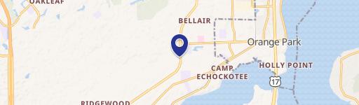
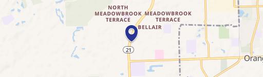
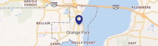
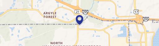
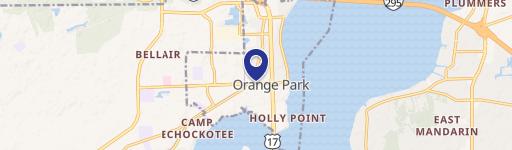
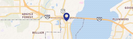
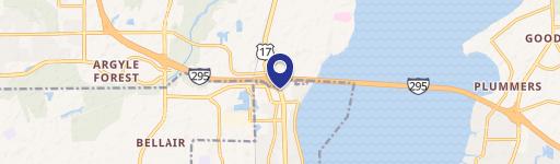
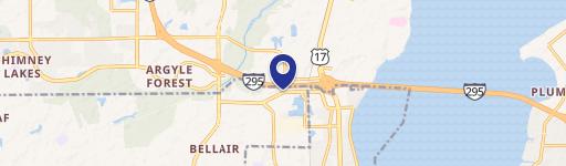
491 Blanding Blvd, Orange Park, FL 32073-5053
- Drive through restaurants
- 3,528 SF
- 0.87 lot acres
Current Use by Public Records
- Drive through restaurants
Property Details for 491 Blanding Blvd
- Year built
- 1984
- Construction
- MASONRY/CONCRETE MASONRY UNITS (CMUS)
- Lot size
- 0.87 lot acres
- Zone code
- BB
- Property type
- Drive through restaurants
- APN
- 18-04-26-020264-121-02
- APU
- 18042602026412102
Sales History
| Date | Price | Buyer | Seller | Deed Type | Mortgage |
|---|---|---|---|---|---|
| Dec 30, 2024 | $1,295,000 | Wdestate 18 LLC | Hardees Restaurants LLC | Special Warranty Deed | $1.1M · Climate First Bank |
| Apr 9, 2013 | — | Hardees Restaurants LLC | Hardees Food Systems LLC | Quit Claim Deed | — |
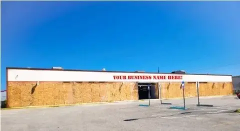
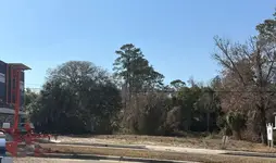
Description
This exceptional 3,472 square foot former Hardee's restaurant presents a unique investment opportunity in the thriving Orange Park, Florida market. The property boasts a highly desirable location on Blanding Boulevard, a major thoroughfare with an impressive average annual daily traffic count of approximately 72,500 vehicles. The 0.086-acre lot provides ample space and features 165 feet of frontage, making it ideal for a variety of retail uses beyond its previous fast-food configuration. The presence of a drive-thru adds significant operational flexibility and potential for increased revenue. This prime location benefits from its proximity to a strong retail corridor, including established businesses such as Ross Dress for Less, Bealls, Lowe's, BJ's Wholesale, Academy Sports, Marshalls, LA Fitness, Aldi, and Publix. Furthermore, the property's strategic placement within a quarter-mile of Orange Park High School (with an enrollment of 1,560 students) ensures a consistent flow of potential customers. This turnkey property offers immediate occupancy and significant upside potential for savvy investors seeking a high-traffic, well-located retail space in a rapidly growing area. The property's size and location make it suitable for a variety of QSR or fast-casual concepts. Don't miss this chance to acquire a valuable asset in a prime commercial location.
Value Estimations
-
AI approach
-
CAP approach
-
Comparable approach
-
Alternative Use
Get a detailed, property-specific estimation — fast and free
Location Insight
- Map
- Local Demand
- City
- Orange Park
- County
- Clay
- State
- Florida
- Longitude
- -81.7468
- Latitude
- 30.1579
- CBSA code
- 27260
- CBSA name
- JACKSONVILLE, FL METROPOLITAN STATISTICAL AREA