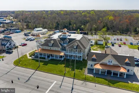
4510 Graphics Dr White Plains, MD 20695-3128
Property profile & analytics
4510 Graphics Dr, White Plains, MD 20695-3128
- Manufacturing properties
- 22,500 SF
- 1.59 lot acres
Property ID
US40-0499755
The Realmo ID is a unique identifier assigned to every property, incorporating country codes and precise geo-coordinates for 300x300-foot land blocks. It enables standardized data collection and seamless integration of disparate sources such as ownership, tax, title data and physical specifications. By aggregating current and historical records, the Realmo ID powers advanced analytics and delivers deep, verifiable insights for real estate professionals.
Location Intelligence
Current Use by Public Records
- Adj Sheet Metal Inc / Production Facility / Metal Fabrication Plant
Property Details for 4510 Graphics Dr
- Year built
- 2006
- Construction
- MASONRY/CONCRETE MASONRY UNITS (CMUS)
- Lot size
- 1.59 lot acres
- Zone code
- IG
- Property type
- Manufacturing properties
- APN
- 06-208207
- APU
- 6208207
Sales History
| Date | Price | Buyer | Seller | Deed Type | Mortgage |
|---|---|---|---|---|---|
| Oct 18, 2010 | $3,750,000 | Adj Investments LLC | M D Lingsch | Deed | — |
| Apr 14, 2000 | $302,000 | M D Lingsch | Cmi Associates LLC | Grant Deed | $900k · Bank Of Southern Maryland |
| — | — | Adj Investments LLC | — | Deed Of Trust · related | $1.8M · Old Line Bk |
| — | — | M Douglas Lingsch | — | Deed Of Trust · related | $46k · Mercantile Southern Md Bank |
| — | — | M Douglas Lingsch | — | Deed Of Trust · related | $1.4M · Manufacturers Traders & Trust |
| — | — | M Douglas Lingsch | — | Deed Of Trust · related | $1M · Mercantile Southern Md Bank |
Value Estimations
based on Realmo’s proprietary methodology
-
Comparable approach
- Method
- Estimation
- Statistic Estimate
- $5,035,000
- AI Estimate
- $5,035,000
Market price range: $3.10M - $5.04MMarket price range: $3.10M - $5.04M -
Alternative Use
- Use
- Estimation
- INDUSTRIAL (GENERAL)
- $3,400,000 Current use
- OFFICE BUILDING
- $6,440,000 Change: +90% Conversion: Difficult
- RESTAURANT
- $6,320,000 Change: +86% Conversion: Difficult
- COMMERCIAL (GENERAL)
- $6,075,000 Change: +79% Conversion: Difficult
- WAREHOUSE, STORAGE
- $5,350,000 Change: +57% Conversion: Easy
- RETAIL STORES
- $4,895,000 Change: +44% Conversion: Moderate
Get a detailed, property-specific estimation — fast and free
Location Insight
- Map
- Local Demand
- City
- White Plains
- County
- Charles
- State
- Maryland
- Longitude
- -76.933
- Latitude
- 38.5879
- CBSA code
- 47900
- CBSA name
- WASHINGTON-ARLINGTON-ALEXANDRIA, DC-VA-MD-WV METROPOLITAN STATISTICAL AREA
Property Tax & Assessments
Tax date
Tax Amount
Assessed Land Value
Assessed Improvement Value
Total Assessed Value
Applied Tax Rate
Land Market Value
Improvement Market Value
Total Market Value
2023
$50,878
$0.00
$0.00
$3,818,333
-
$247,400
$3,668,700
$3,916,100