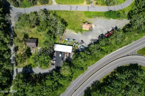
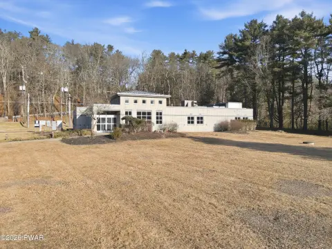
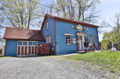
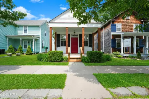
317 Rte 2001 Milford, PA 18337-9718
Property profile & analytics
317 Rte 2001, Milford, PA 18337-9718
- Gas stations
- 3,200 SF
- 2.50 lot acres
Property ID
US73-3548943
The Realmo ID is a unique identifier assigned to every property, incorporating country codes and precise geo-coordinates for 300x300-foot land blocks. It enables standardized data collection and seamless integration of disparate sources such as ownership, tax, title data and physical specifications. By aggregating current and historical records, the Realmo ID powers advanced analytics and delivers deep, verifiable insights for real estate professionals.
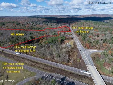
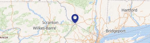
Location Intelligence
Current Use by Public Records
- Gas stations
Property Details for 317 Rte 2001
- Year built
- 1988
- Lot size
- 2.50 lot acres
- Property type
- Gas stations
- APN
- 125.00-01-26.001-
- APU
- 125000126001
Sales History
| Date | Price | Buyer | Seller | Deed Type | Mortgage |
|---|---|---|---|---|---|
| Aug 4, 2021 | $500,000 | Pike Development Group LLC | C C T Holding LLC | Deed | $375k · Jeff Bank |
| Feb 8, 2021 | — | Cct Holdings LLC | — | Deed · related | $50k · Wayne Bank |
| Jan 27, 2017 | $200,000 | Cct Holding LLC | James M Quinn | Deed | $103k · Wayne Bank |
| Jan 27, 2017 | — | C C T Holding LLC | — | Deed · related | $122k · James M Quinn |
Value Estimations
based on Realmo’s proprietary methodology
-
AI approach
- Method
- Estimation
- Statistic approach
- $515,000
- ML approach
- $530,000
Get a detailed, property-specific estimation — fast and free
Location Insight
- Map
- Local Demand
- City
- Milford
- County
- Pike
- State
- Pennsylvania
- Longitude
- -74.8444
- Latitude
- 41.3076
- CBSA code
- 35620
- CBSA name
- NEW YORK-NORTHERN NEW JERSEY-LONG ISLAND, NY-NJ-PA METROPOLITAN STATISTICAL AREA
Property Tax & Assessments
Tax date
Tax Amount
Assessed Land Value
Assessed Improvement Value
Total Assessed Value
Applied Tax Rate
Land Market Value
Improvement Market Value
Total Market Value
2024
$3,619
$6,380
$17,940
$24,320
-
$25,500
$71,765
$97,265